Image

Shoe Trail Test: Marin Headlands

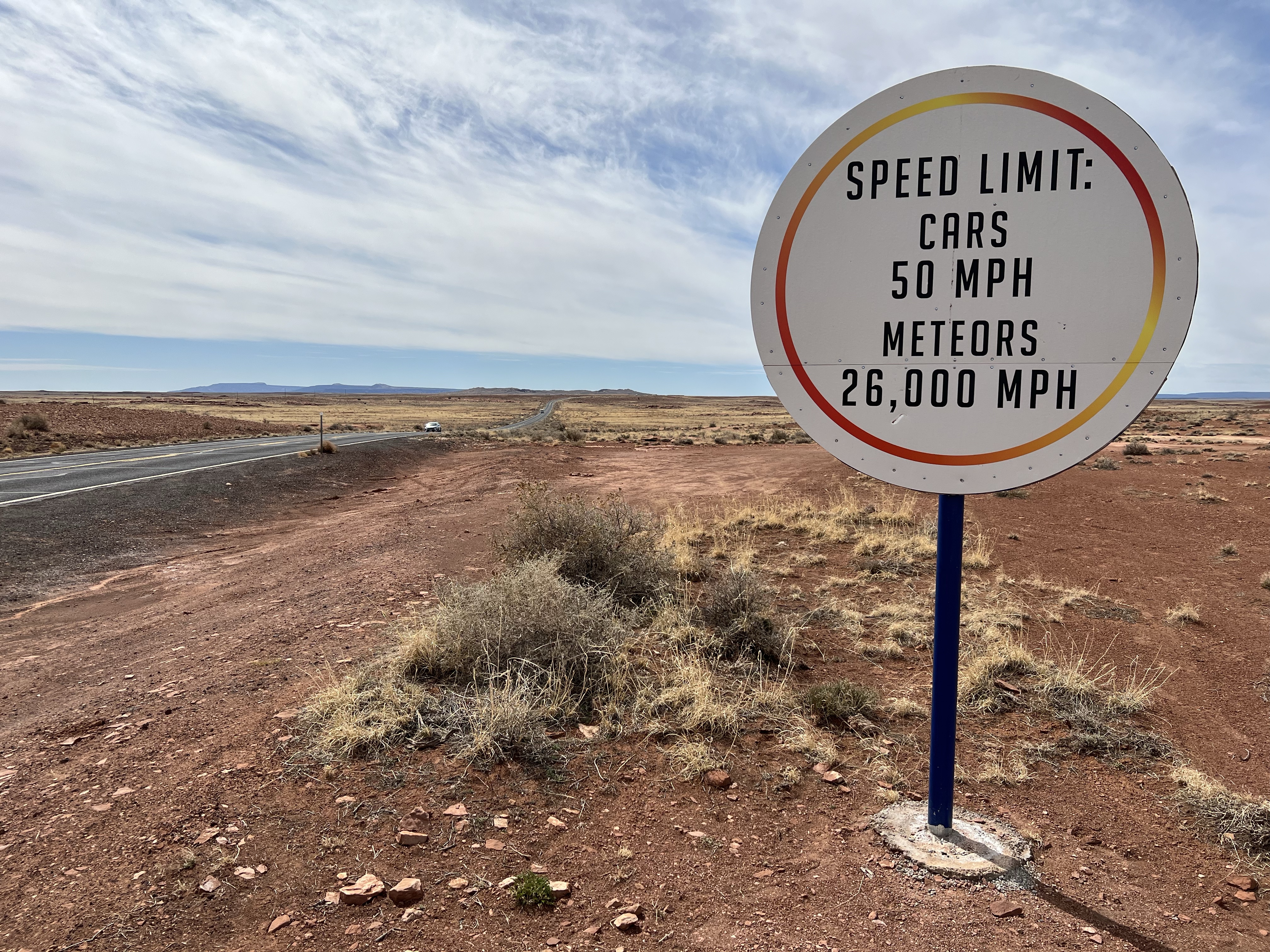
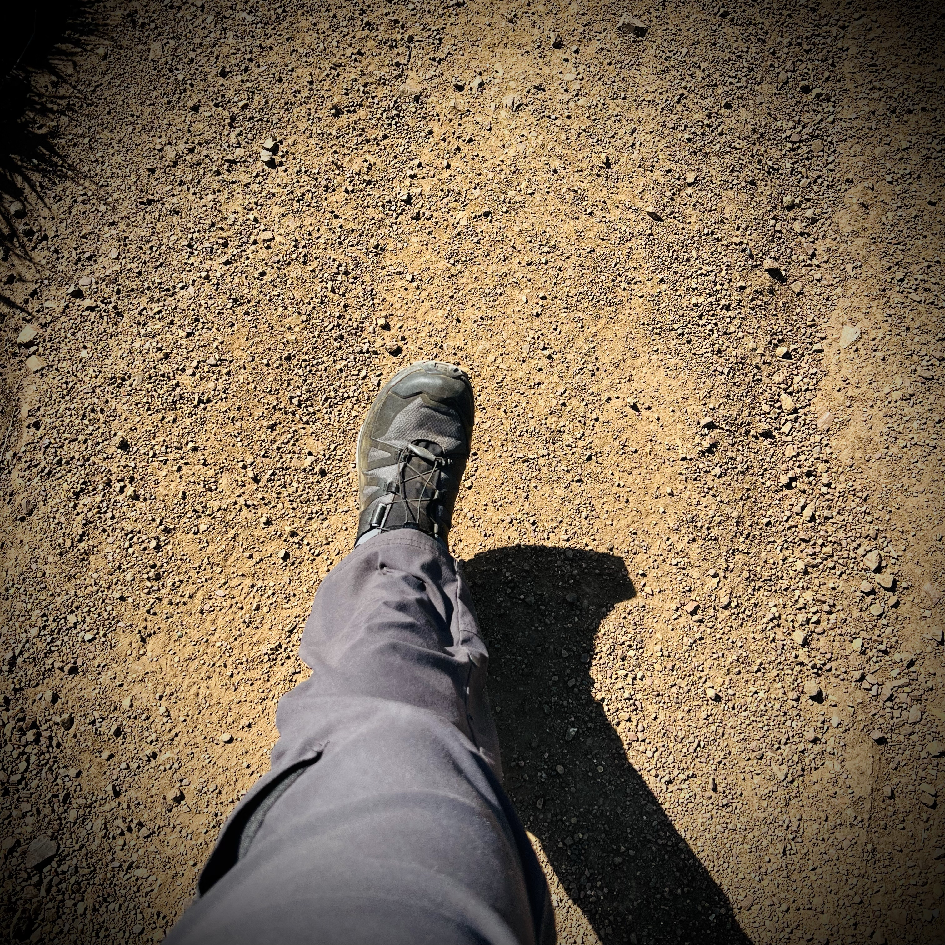
I wanted to put my new Solomon X Ultra 4 GTX hiking shoes to the test; well beyond walking around the shoe department of REI, so I took them out on a test hike in the Marin Headlands.

These hiking shoes have been the top rated hikers on multiple websites and I wanted to see what all the fuss was about. A few things about the specs interested me. First they are waterproof and these shoes were incredibly light at 360 grams. This means less fatigue and more foot happiness!

Putting steps in on the Miwok Trail.

I planned to do a favorite five mile loop, the Coast Trail to Hill 88 and then the Wolf Ridge Trail and completing the loop on the Miwok Trail. This route has a 1,076 elevation gain so the shoes and I would get a workout.

I started the loop at the Rodeo Beach parking lot. From here, it was all up hill to my rest/sketch destination: Hill 88 at 905 feet above sea level.

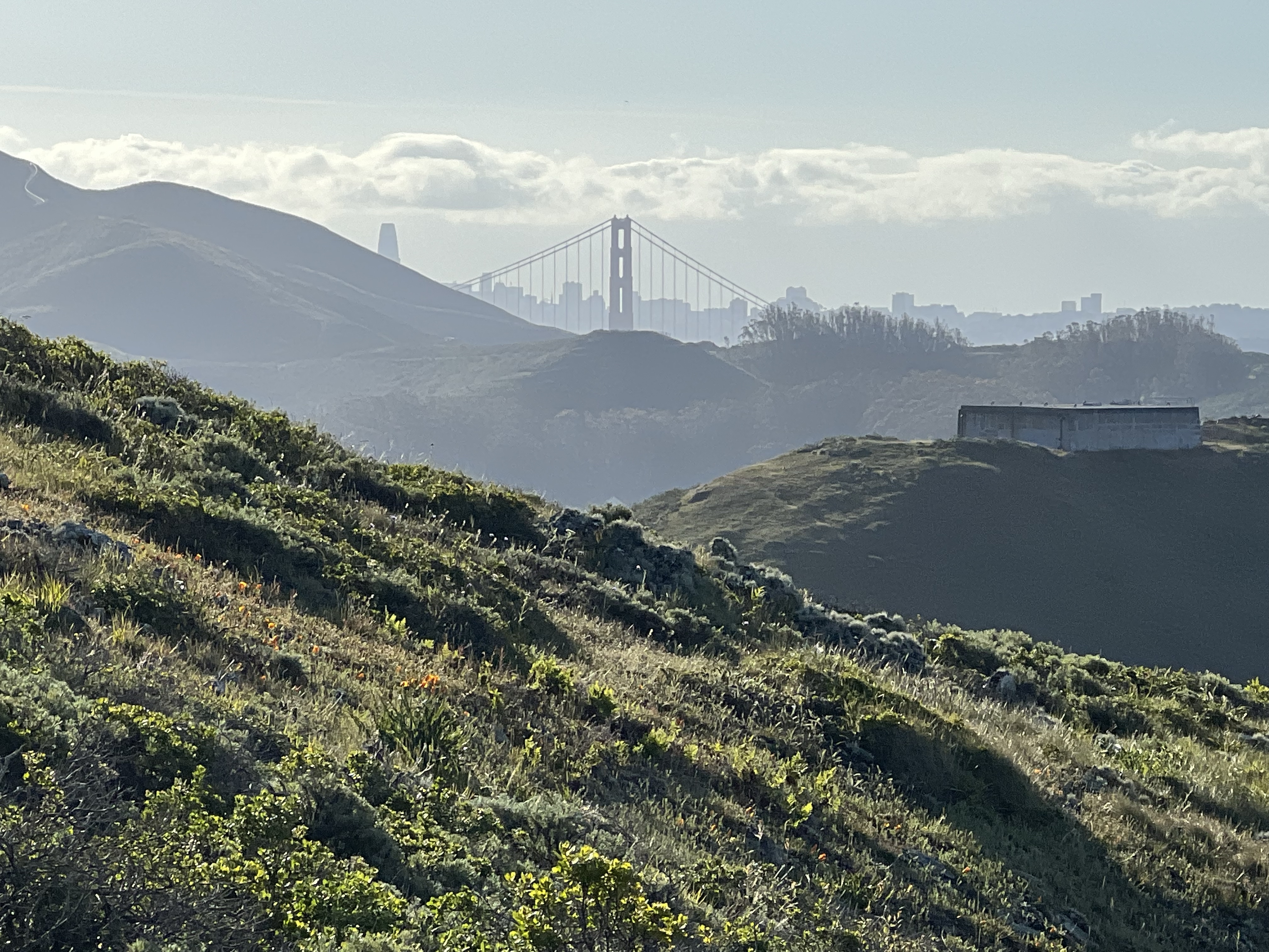
Good lengths of the Coast Trail are along a paved road with a modest grade. As I climbed higher, the views of Rodeo Lagoon and Beach got better and better. As I kept climbing I could see most of the westside of San Francisco and Pacifica beyond. Climbing more, I turned back to see the south tower of the Golden Gate Bridge with the skyscrapers of downtown behind.

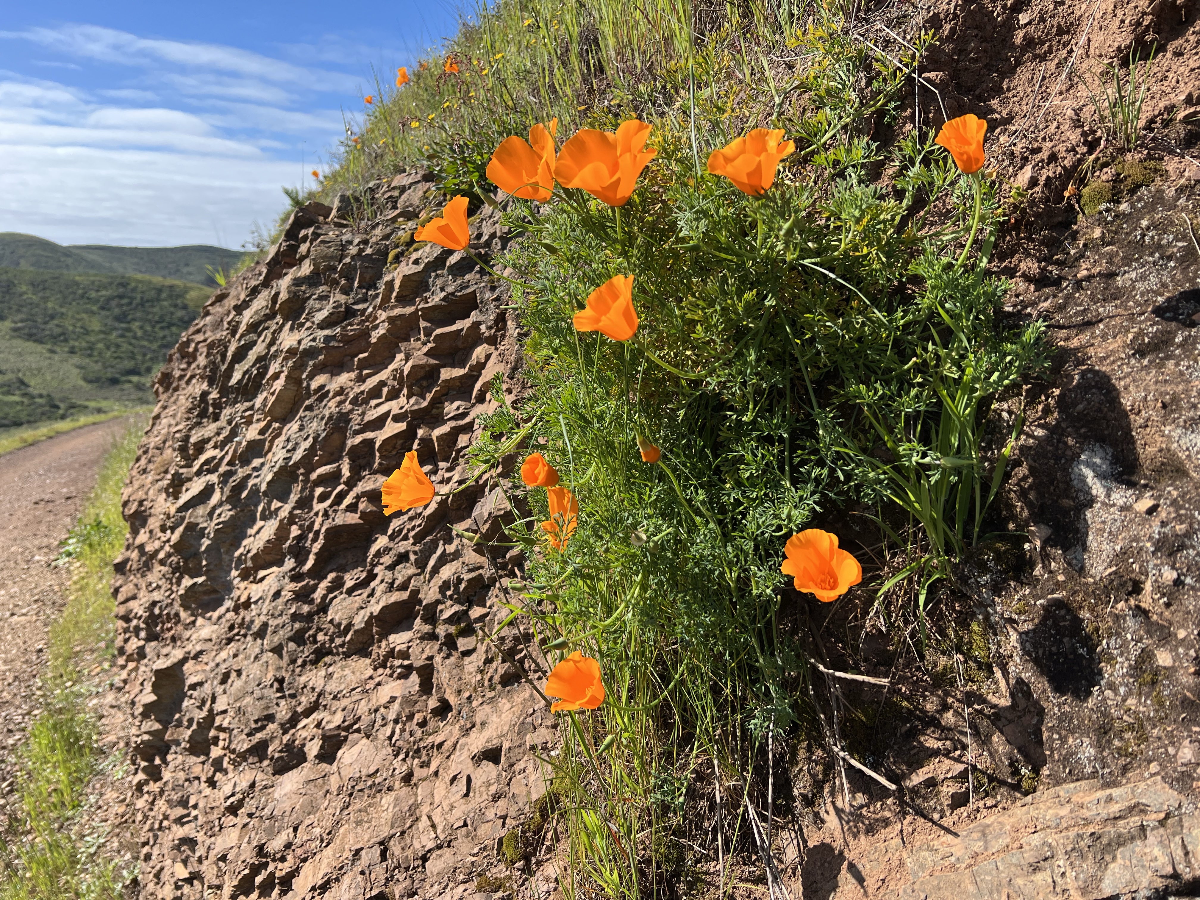
So far the Solomons felt great and I couldn’t beat the setting with the sun shinning, a gentle breeze, wildflowers in bloom and wrentits, spotted towhees, and Bewick’s wrens in full song.

Part of the Coast Trail becomes a steep single track staircase and my new dogs provided the support and grip to handle the task of summiting Hill 88 with ease. It took me 55 minutes from the parking lot to the top of Hill 88, a distance of 1.9 miles.

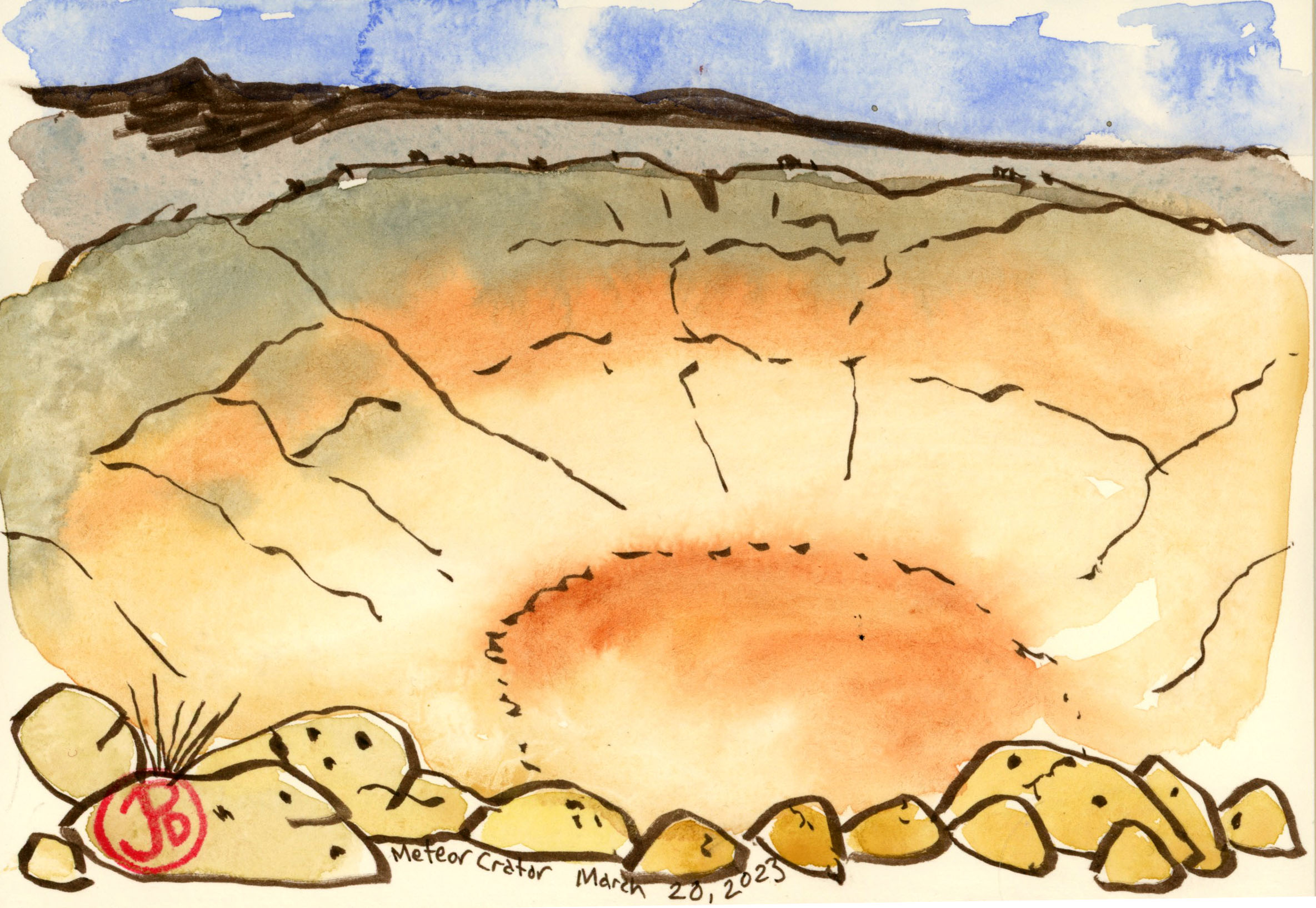
The view from Hill 88 is amazing and I had to do a quick panoramic pen-brush sketch looking down on Rodeo Lagoon, the beach and Bird Rock (featured sketch).

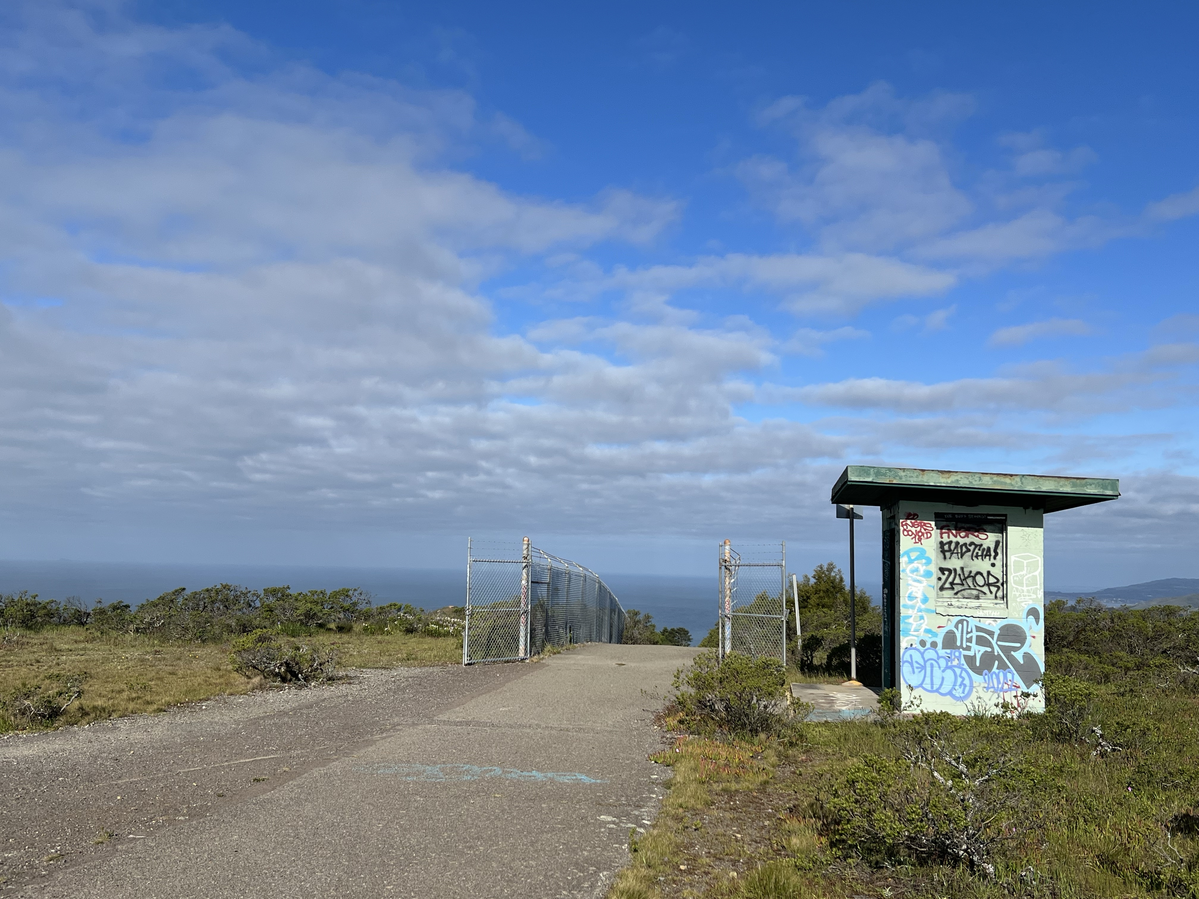
I was up on Hill 88 for about ten minutes. Marin Headlands was once a military base and Hill 88 was covered in radar towers and the site still has military era buildings, now in semi ruin and covered in graffiti.

Looking west atop Hill 88 with the gatehouse on the right.

I headed down the entrance road to Hill 88 and turned off to the right to make my way east on the Wolf Ridge Trail towards the junction of Miwok Trail.

This is the real test of the Salomons, how did my feet feel on a long downhill, would my toes be smashed into the toe box? The answer was no, the shoes where comfortable all the way down the Miwok Trail.

California poppy blooming through Radiolarian chert on the Miwok Trail.
Image

The Murres of Egg Rock

On Easter Sunday I walked west on the former Highway One at Devil’s Slide on the San Mateo County Coast. My destination was the common murre success story that is Egg Rock. This somehow seems appropriate, given the day.

I remember driving this white-knuckle stretch of Highway One. The current roadway is routed through a tunnel to the east. Peregrine Rock is on the left.

As I passed “Peregrine Rock“, so named because of the nesting peregrine falcons on the cliff face, two juvenile rock wrens were perched out on the retaining wall. I took a few photos of the obliging wrens and then headed down the road to the Egg Rock lookout.

This juvenile rock wren was very accommodating.

Egg Rock is a collection of rocks just off the coast of Devil’s Slide. It is the scene of an alcid success story. Egg Rock supported a breeding colony of about 3,000 common murres. A murre is a seabird that superficially looks like a penguin. They spend much of their life at sea but come ashore to breed.

In the early 1980s the colony saw a rapid decline due to gill netting, a change in weather patterns, and pollution. The colony collapsed altogether and no murres nested on the once populous rock. In the middle 1990s a murre restoration project was started. By 1996 just 12 murres where observed on Egg Rock. The restoration project employed murre decoys, mirrors, and broadcasting murre calling in order to bring murres back to Egg Rock. And it slowly began to work.

By 2005 there were 328 murres and by 2014 the murre population reached 3,200 birds. The murres of Egg Rock had finally recovered to their pre-1980s numbers.

Road cuts are a geologist’s gift. Here is the sedimentary uplifted rock of Devil’s Slide.
A sign of spring: a Bewick’s wren in song.
Image

Meteor Crater

High on my sketch list is a landform 30 miles east on Highway 40 from Flagstaff, Arizona. This is, as writer Bill Bryson says, “the most famous impact site on Earth and a popular tourist attraction”. It is known simply as Meteor Crater.

I left my digs in West Sedona at a quarter to eight for the 90 minute journey to the big depression in the middle of nowhere.

As I headed up Highway 17, from Sedona at 4,350 feet to Flagstaff, at 7,000 feet, the temperature dropped. As I neared Flagstaff the temps hovered just above freezing. This journey was the reason I packed my puffy jacket, gloves, and beanie. It was cold up here with plenty of snow and ice on the ground.

I grazed the outskirts of Flagstaff and then turned east on Highway 40 toward Winslow and New Mexico. Within half an hour I turned south, towards the Meteor Crater.

As you approach the crater, the road is lined with witty signs. Others say, “Four Miles Until Impact”.

Once at the crater I had to find the crater through a maze of admissions, stairs, a gift shop, two theaters, a museum, more stairs, and a corridor or two. But finally I found the observation deck on the rim of the 4,000 foot in diameter crater. It was breathtaking (or maybe just out of breath with all the exertion finding the crater).

What caused this massive 560 foot deep crater? Well scientists surmise that about 50,000 years ago in the Pleistocene Epoch, the Earth was struck by a meteor traveling at about 26,000 miles an hour! The iron-nickel meteorite was about 150 feet wide and weighed several thousand tons. The impact generated a force greater than 20 million tons of TNT. That’s 20,000 kilotons. As a comparison, the atomic bomb dropped on Hiroshima was about 15 kilotons of TNT. Most of the meteorite vaporized during the impact, but a few pieces of the meteor have been recovered.

It’s not everyday that you get to touch a meteor!

At the museum it is noted on the crater’s vastness and size: “The Crater is large enough for 20 football games to be played simultaneously on its floor, while more than 2 million people could watch from the side slopes.” If there were sporting events occurring in the crater, you would need some good optics to see what was happening down below. And I found some:

Reading about the crater in Bill Bryson’s excellent book, “A Short History of Nearly Everything” was the impetus for my Spring Break Arizona trip and it rekindled my interest in Astronomy.

A pen brush sketch from the upper observation deck.