California Highway 49 runs north and south, winding 310 miles through California’s Gold County. It passes through eleven counties and 51 cities, towns, and settlements. It is perhaps California’s most historic highway and I was going to drive all 310 miles of it, starting at it’s southern terminus at Oakhurst to where the highway ends at it’s northern terminus at the junction with Highway 70 at Vinton.
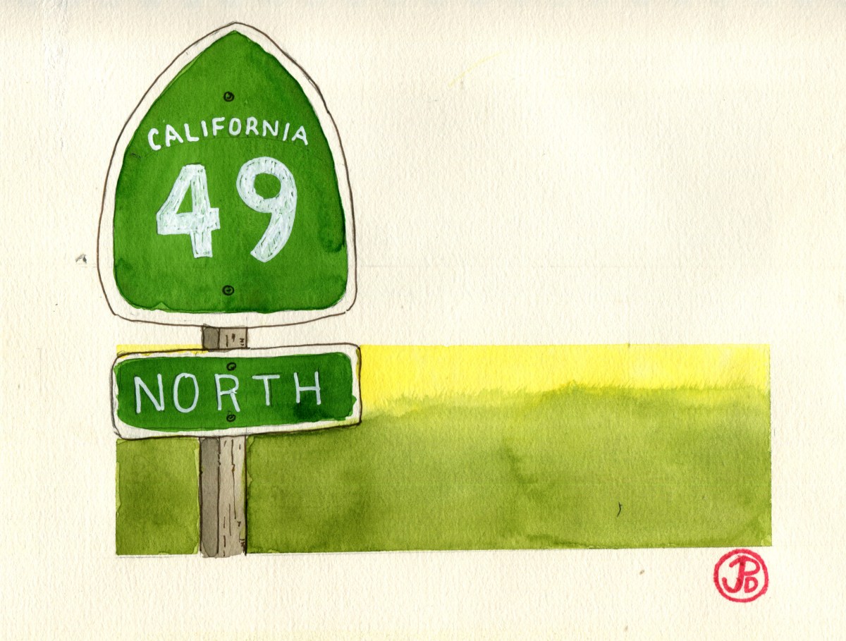
My guild throughout my road trip was the green, spade-shaped shields that read: CALIFORNIA 49. NORTH. The shape of the sign is a reference to the spades used by Forty-Niners to dig for gold when the world rushed in during California’s Gold Rush in 1849. The state highway agency adopted this symbol of the Gold Rush in 1934 and has been used ever since on all of California’s state highway signs.

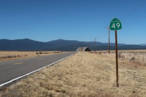
The first Highway 49 shield at the start of the highway in Oakhurst on my first day of my road trip.
I could drive the entire highway in one very long day but I chose to break the road trip up into a five day trip, giving me time to explore the towns, back roads, and historical points of interests along the way. And of of course encountering the landscape and townscapes in the same way that many immigrants did in the 19th century, in the pages of a sketchbook.

The northern end of 49 at the junction of Highway 70 in the beautiful Sierra Valley.
In the next blog posts, I will features sketches in the many places I visited on my road trip on historic Highway 49.
The northern section of Highway 49 is the most scenic as it runs through Sierra Valley at 5,000 feet.
