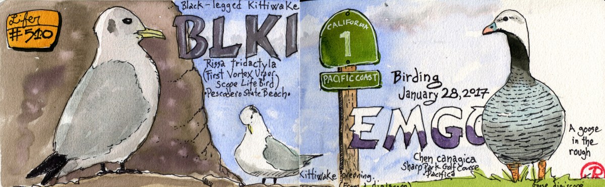
When you are north of 500 lifers, your memory can get a little foggy on what you’ve seen, especially with the class of birds known to birders as Little Brown Birds (LBBs), the sparrows and their relatives. A sometimes tricky group of birds to identify.
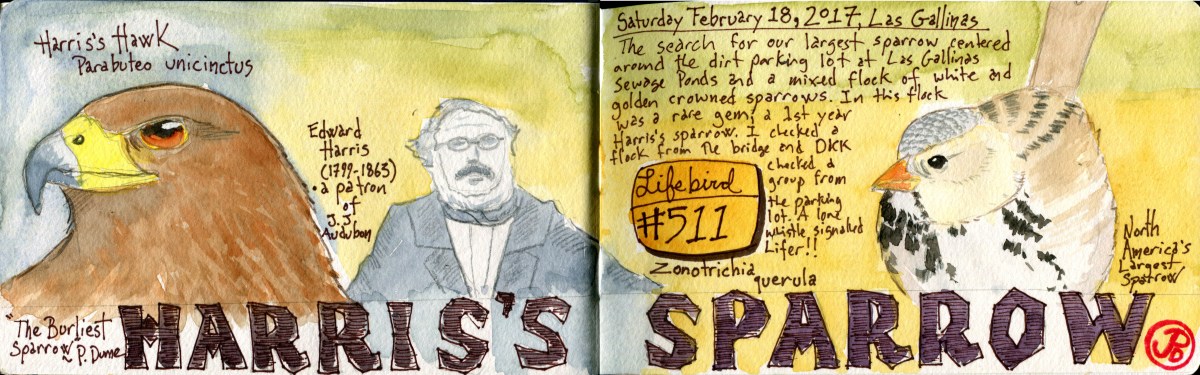
I was not sure how I missed North America’s largest sparrow. When I saw that a Harris’s sparrow had been found at Las Gallinas, on December 24th, in a mixed flock of white and golden crowned sparrows I thought I had added this one to my list years ago. I noticed that it had been refound on Friday and I consulted my records to help jog my memory. That box was not checked. I checked and rechecked and sure enough, that sparrow was not on my list. I knew that, with a break in our extremely wet winter, I would be heading north, to one of my favorite birding destinations: Las Gallinas Sewage Ponds.
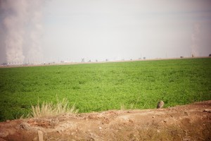
I rendezvoused with Dickcissel and we headed up. The ponds were swollen with all the recent rains and it was extremely easy to see birds that are normally shy and elusive because most of their reedy habitat was now underwater. Soras, gallinules, and the constantly singing marsh wrens where putting on a wonderful Saturday morning show. On the west side of Pond 1, a common gallinule rushed out of the water and up into the remaining reeds. A predator was near. Sure enough, a river otter poked it’s head above the water to survey the scene.
We returned to the parking lot area and scanned any sparrow flocks for a large sparrow with a white breast. I was following a flock across the channel and Dickcissel returned to the dirt lot to see what he could find. A whistle alerted me to the fact that the Harris’s had been located and I rushed over to Dickcissel’s position and found lifer # 511, Harris’s sparrow.

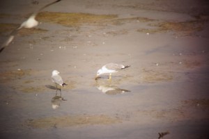
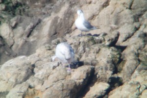
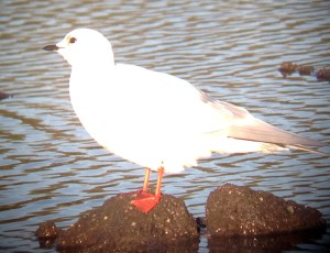
An oddly pixilated digiscope shot of the Harris’s, no Photoshope required.

Digiscope of North America’s largest sparrow at Las Gallinas.
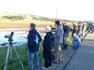
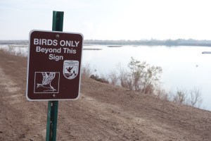
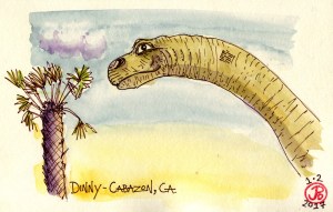
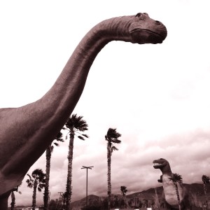
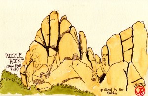
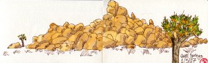
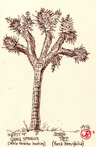
 The sketcher at the famous Salton Sea birding trail: Rock Hill Trail at the Sonny Bono National Wildlife Refuge.