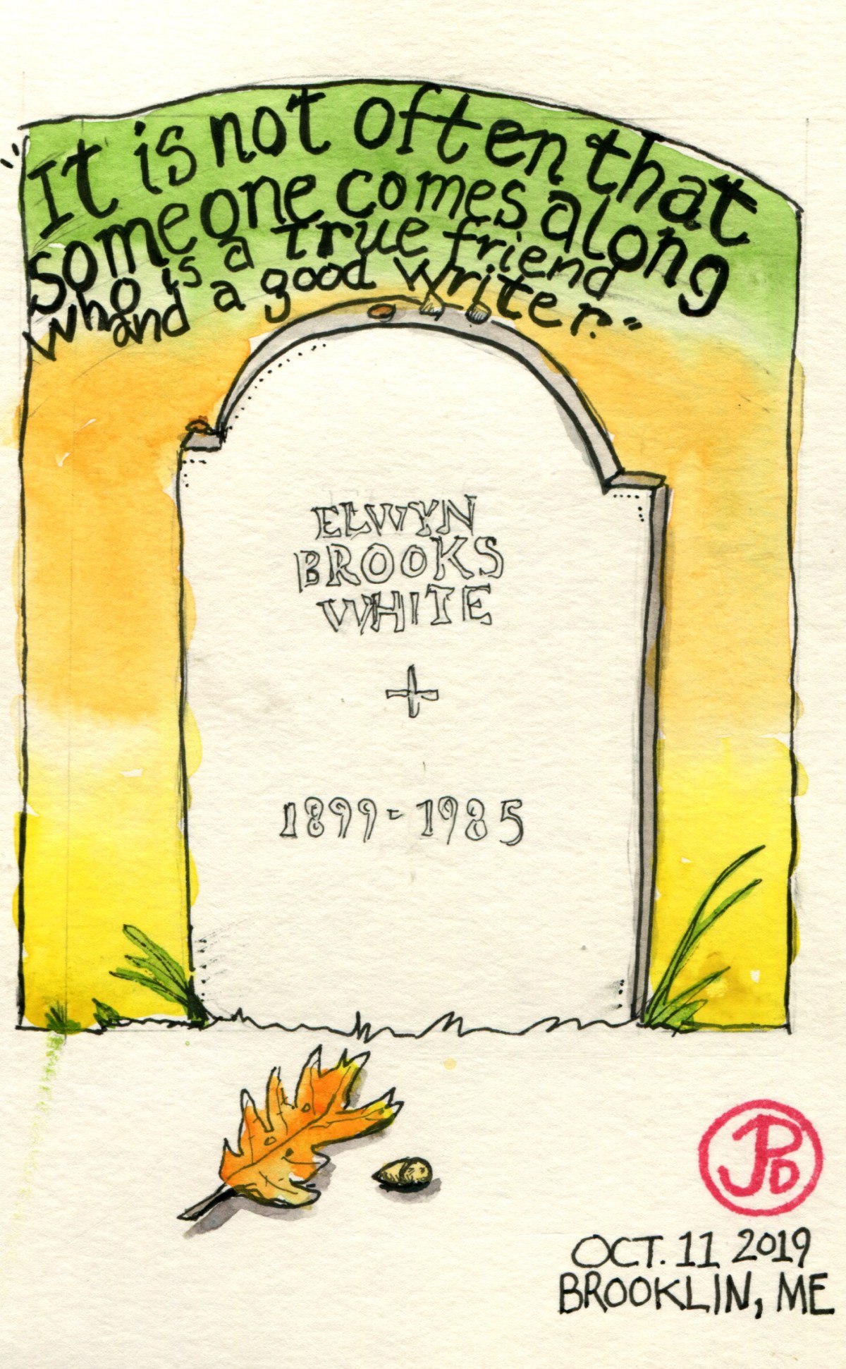
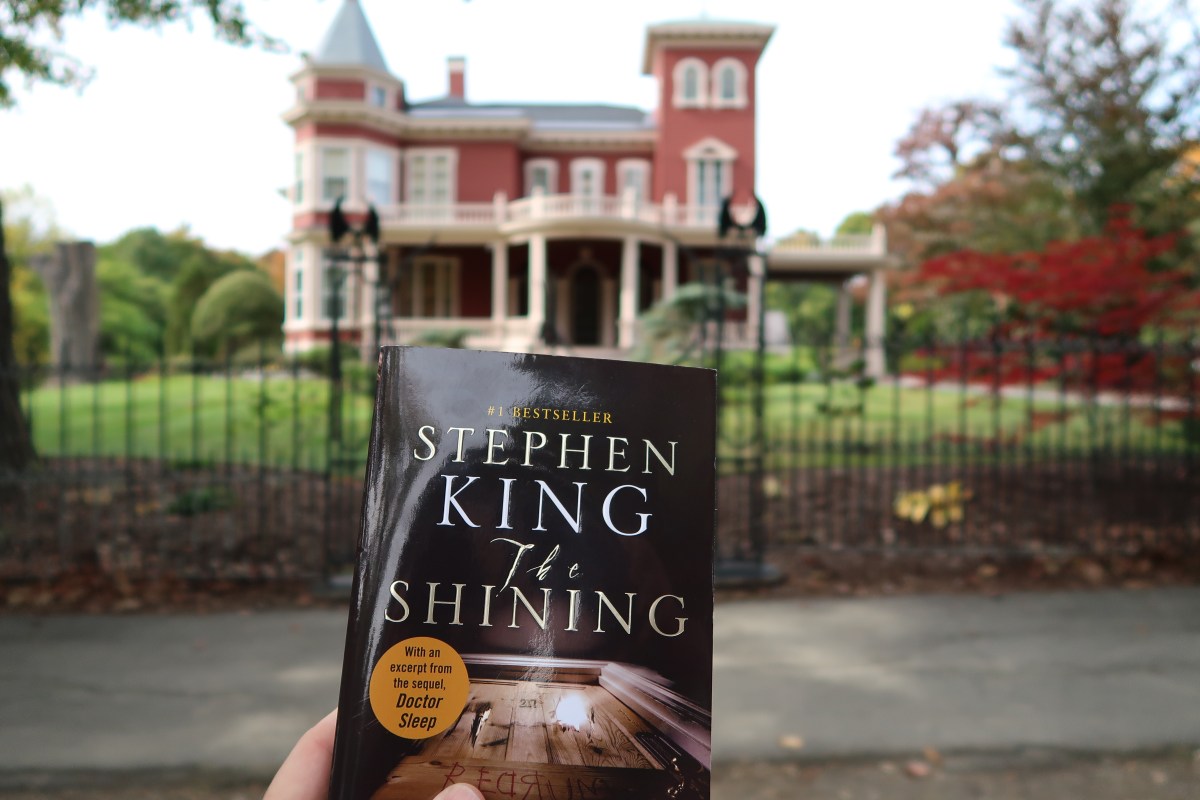
“It is not often that someone comes along who is a true friend and a good writer.”
To escape the tourists and the leaf peepers in Acadia National Park, I headed west and then southwest to the tiny rural town of Brooklin, Maine and it’s tiny cemetery. I was here to visit another writer and this was a writer that is close to my heart. He instills a lifelong love of reading in many 3rd graders around the world. He has written books that are still read by thousands to this day. I had read his books in my youth and loved them.
When I arrived, after an hours drive from Acadia, after an unsuccessful attempt to sketch Bass Head Light, I saw the Brooklin Cemetery on the left, across the street from the white church. I got out and searched the headstones. I didn’t know where the grave was located but I was going to search until I found the tombstone I was looking for.
At the end of the cemetery, under an oak that had not yet put on it’s autumnal vestments, were two identically shaped dark tombstones. The one on the left was Katharine Sergeant White. The stone on the right was the one I was looking for. The name read: Elwyn Brooks White 1899-1985.
The headstone was very plain and without any words beyond his name and dates, which seemed odd for a writer’s grave. The only sign that this was a person of note was the two rocks and penny that rested on the top the marker’s arch. In the lower corner, there was a spider’s web attached from the gravestone and the flowers, it was also without words and I resisted the urge to clear the web from the stone, leaving it untidy. After all this could be Charlotte’s web.
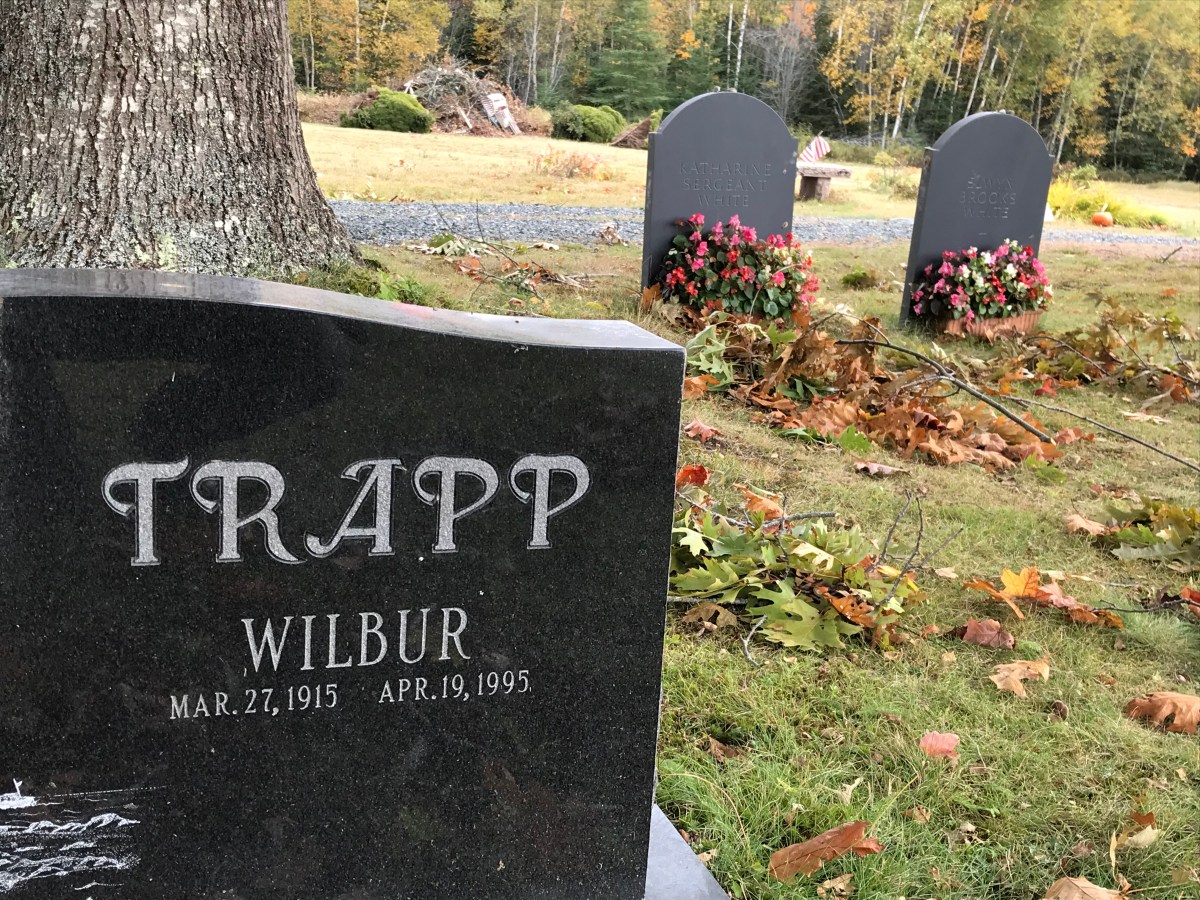
The White’s headstones in the background and the headstone with “Wilbur” in the foreground. Uncanny.
Elwyn Brooks White, known to his many readers as E. B. White, spent 48 years his life in this part of coastal Maine. He is known for the writer manual The Elements of Style and two children’s books: Stuart Little and his masterpiece, Charlotte’s Web.
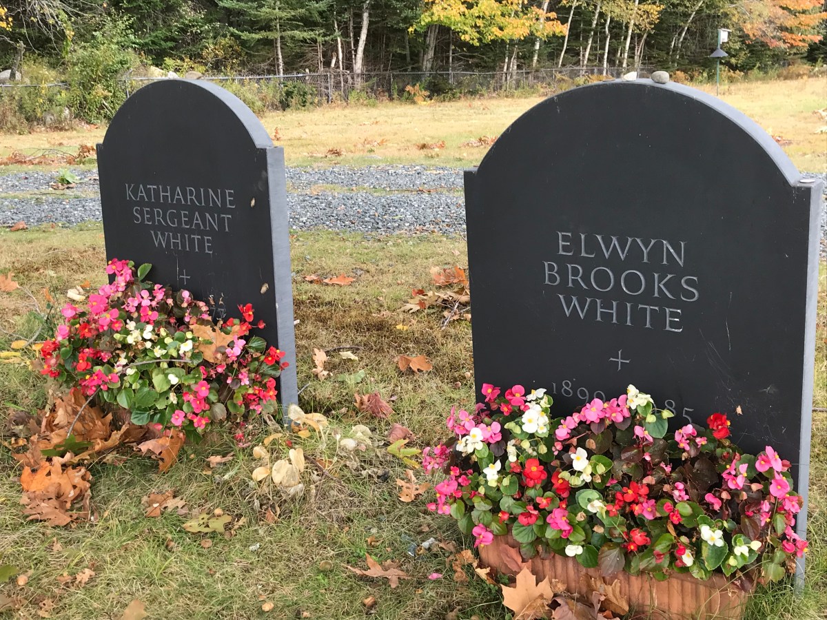
Andy now rests next to his wife, who died eight years earlier. White’s fear of crowds meant that he did not attend his wife’s funeral.
In 1933, White, who was known to his friends and family as Andy, bought a farm in coastal Maine on Allen Cove, just south of Acadia National Park, in the town of North Brooklin. White and his wife, Katherine, who was The New Yorker’s first fiction editor, spent much of their time at the farm both farming and writing.
The farm, barn, and farm animals became the inspiration for his greatest work. He wrote Charlotte’s Web here and in the boathouse where he often wrote with a view of the Atlantic and the highest point in Acadia National Park, Cadillac Mountain.
White relished his role as a gentleman farmer and he was shy and shunned his ever growing fame. When his wife Katherine died in 1977, he he did not attend her private burial service at Brooklin Cemetery. As Michael Sims noted in his wonderful book, The Story of Charlotte’s Web: E. B. White’s Eccentric Life in Nature and the Birth of an American Classic:
Knowing Andy’s aversion to public events, no one had been surprised or upset. Now his legendary fear of crowds became part of his own memorial service. “If Andy White could be with us today,” Roger Angell (his stepson) said to the assembled family, “he would not be with us today.”
One touching episode that happened towards the end of White’s life, when he was either suffering dementia. His son Joe, would read to him from his own books and essays. He would often get confused and not remember who wrote the words. Sims writes of Andy:
. . .he would stir and look at Joe and ask again who wrote what he had just read to him.
“You did, Dad.”
Andy would think about this odd fact for a moment and sometimes murmur, “Not bad.”
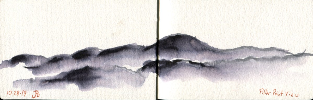
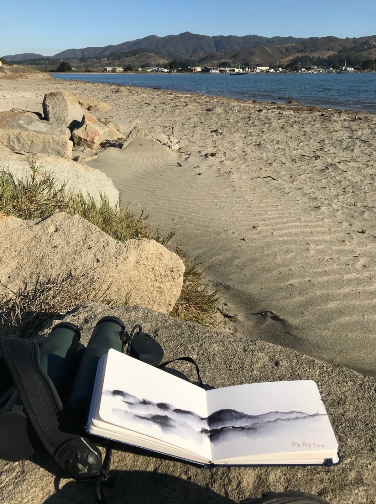
I stood before the stone and did a quick sketch. Before I headed back to the car I took out a penny from my pocket and placed it on the tombstone. “Thank you”, I said.
“It is not often that someone comes along who is a true friend and a good writer. Charlotte was both.”
Last two sentences of Charlotte’s Web
-Elwyn Brooks White

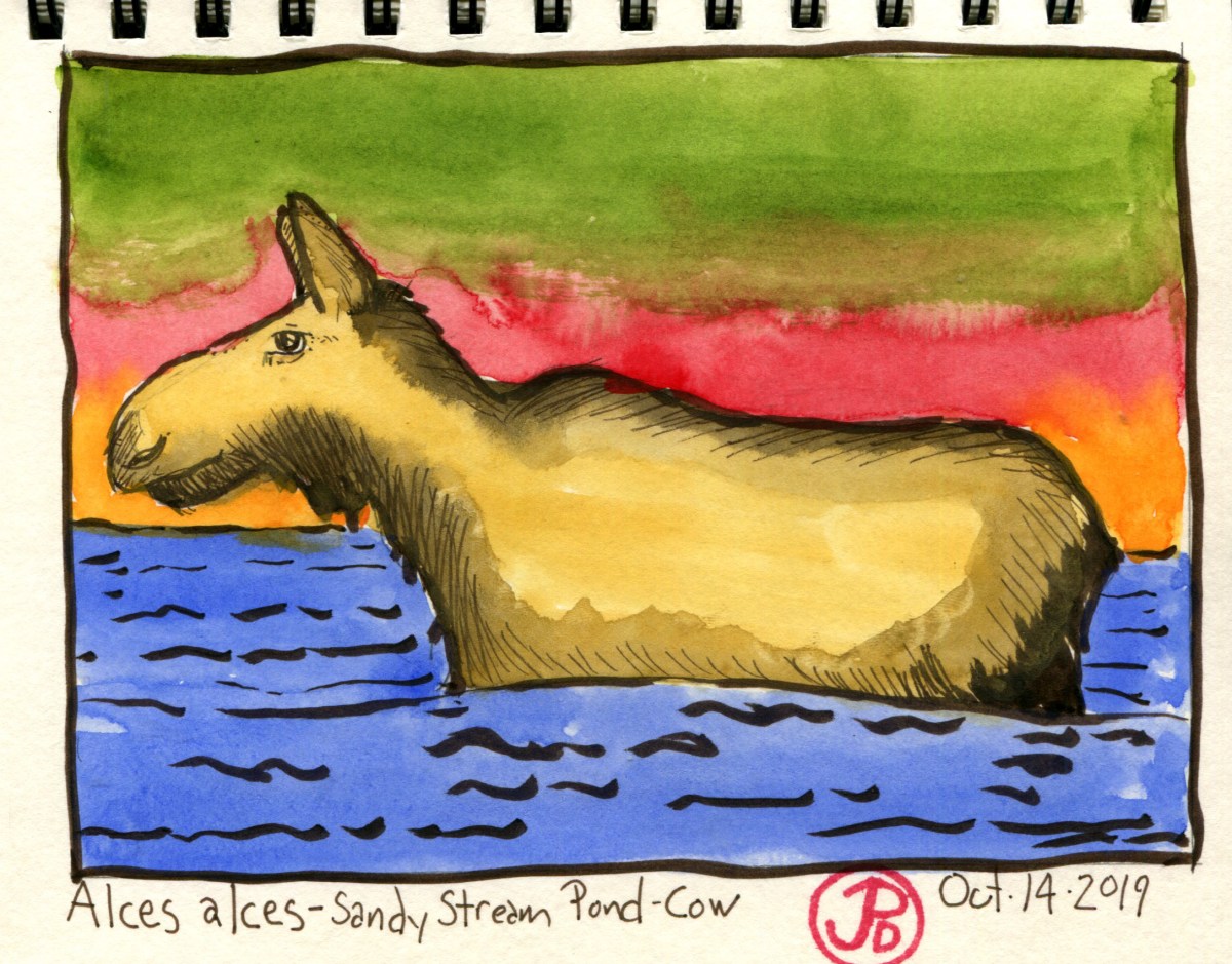
 Moose cow at Shady Stream Pond. See, I’m not making these similes up, like a small stream.
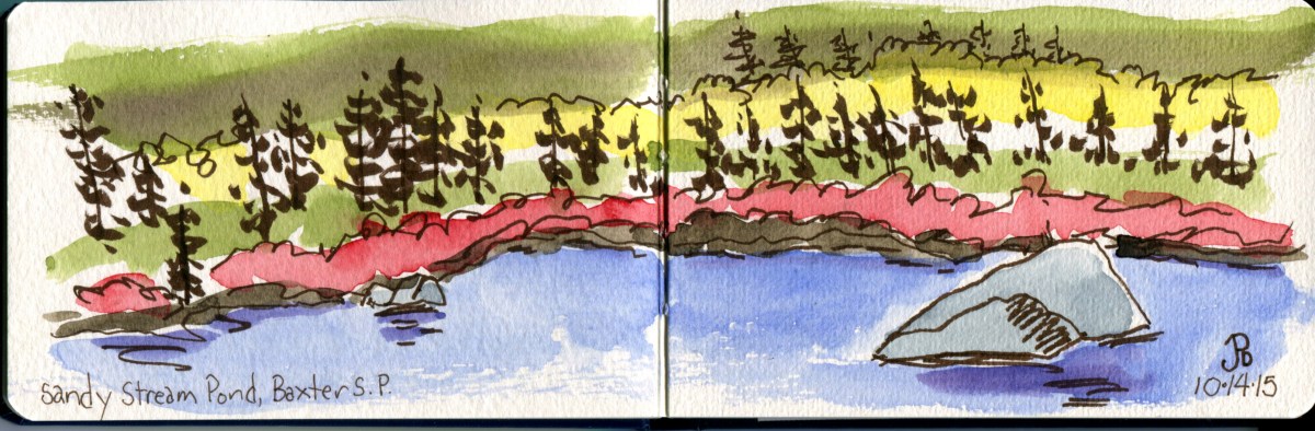
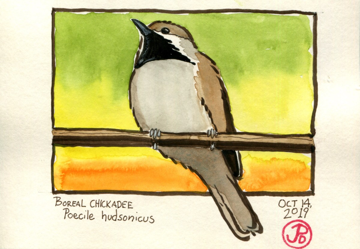
 Above is the first photo that I captured of the mystery bird. The key fieldmark that distinguishes a boreal from a black-capped is that the boreal has a brown cap. The bird was looking to be the bird that I was looking for. It clearly had a brown and not black cap. The Audubon Bird Guides noted the boreal chickadee, “has gained a reputation as an excessively elusive bird.” This bird was elusive no more! Lifer!

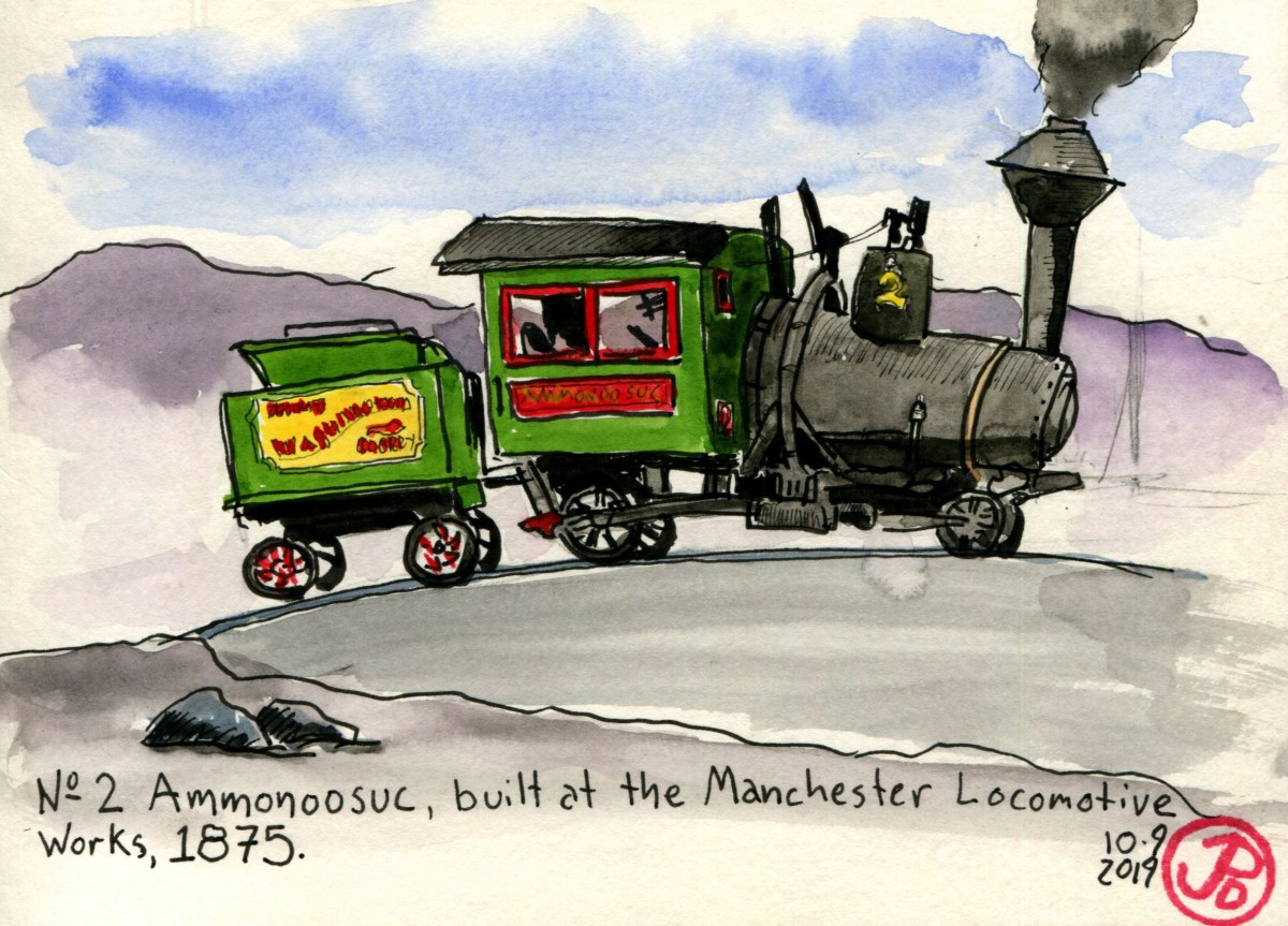
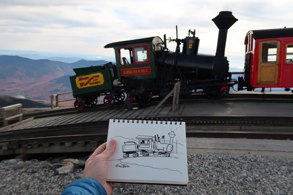
 Field sketch in my Delta Series Stillman & Birn softcover journal.

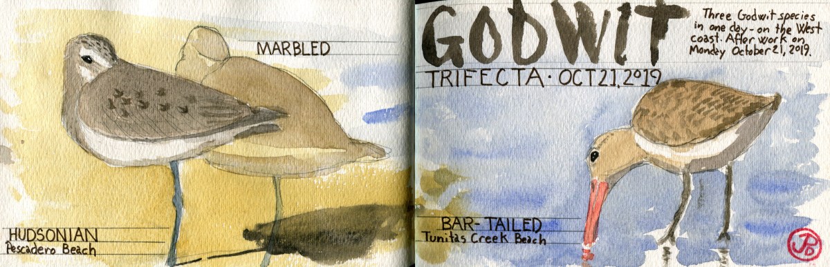
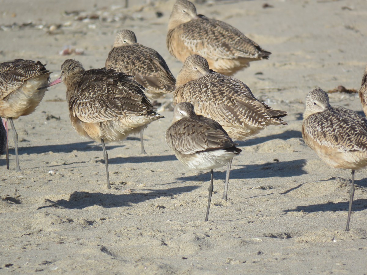
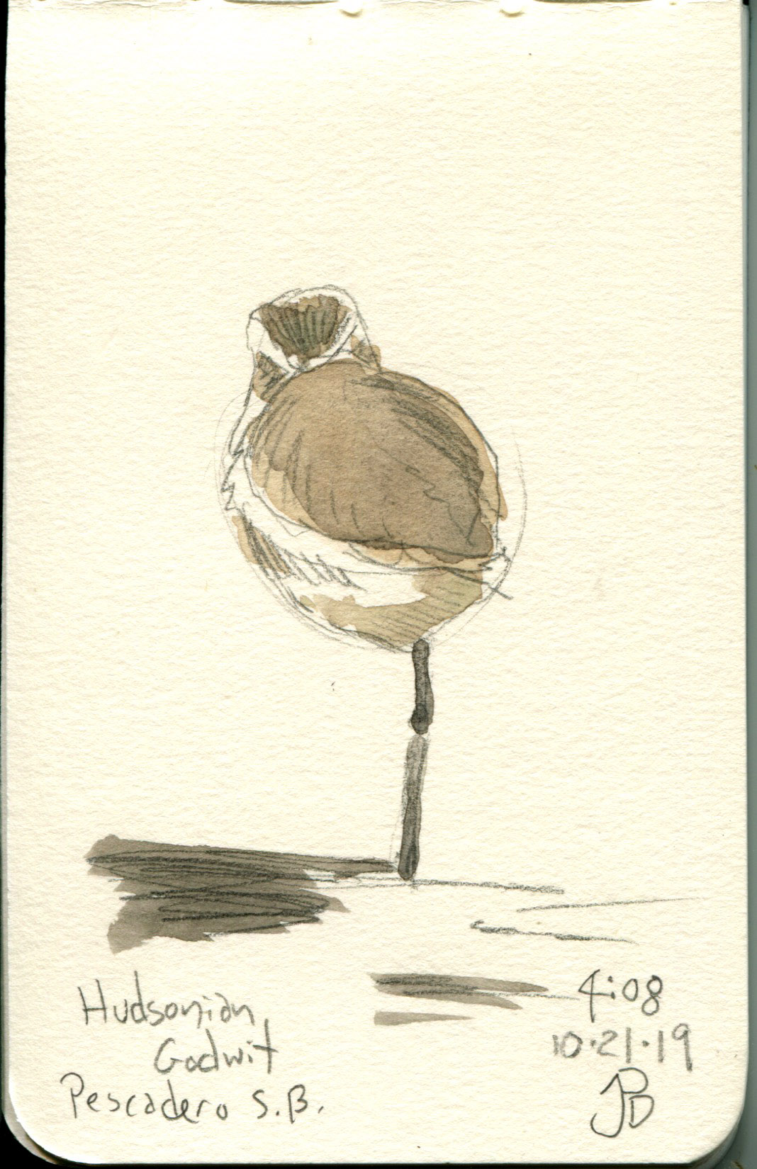
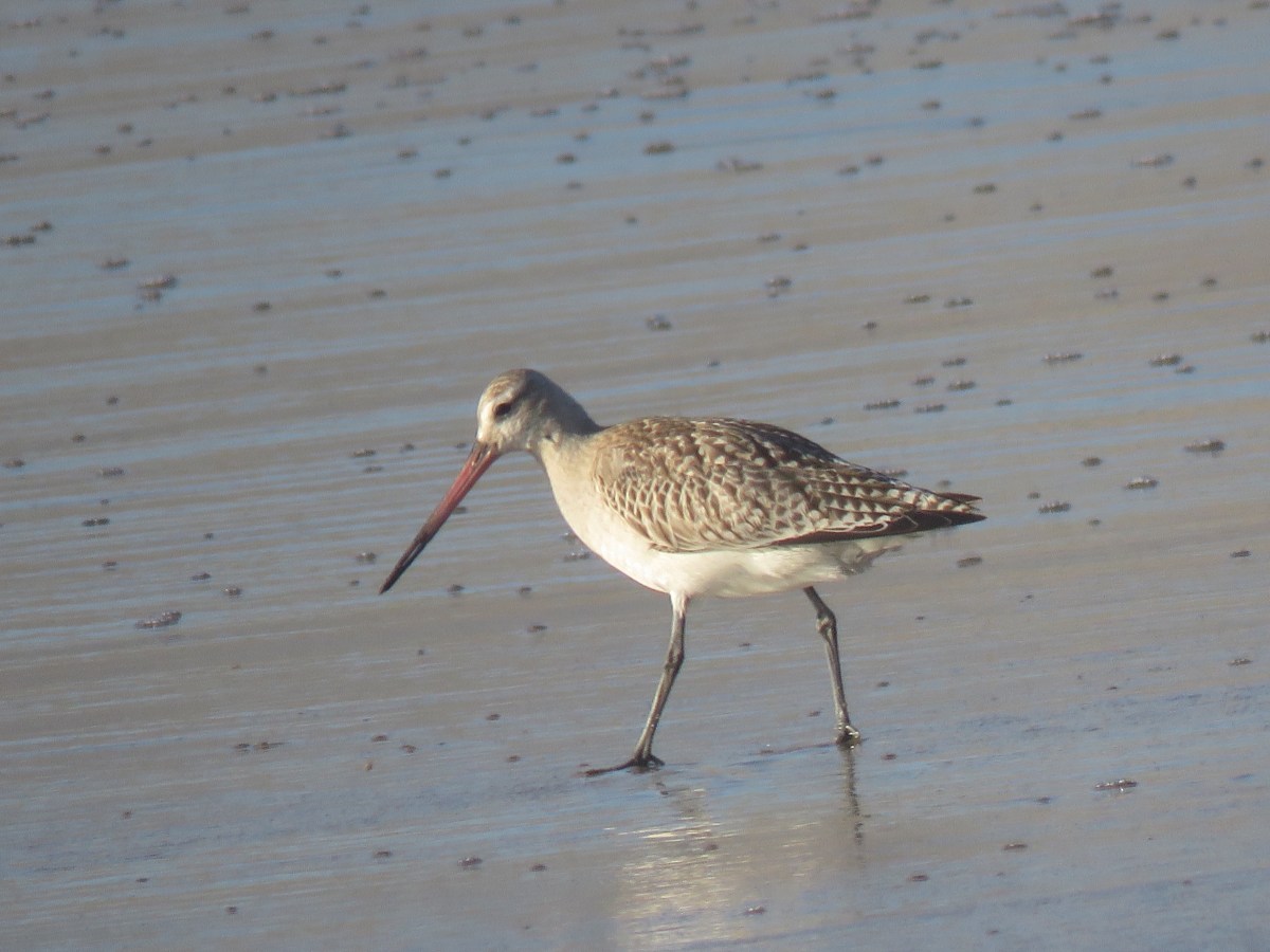
 The Hudsonian godwit (left) and two larger marbled godwits on Tunitas Creek Beach.
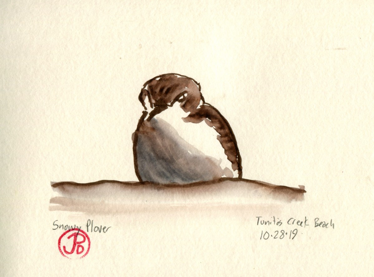
 I found this rough-legged hawk as I was driving south to my cabin in Santa Cruz. This is an infrequent bird for San Mateo County and I’m glad some birders got to add it to their county list. On my return visit, I did not see the hawk.
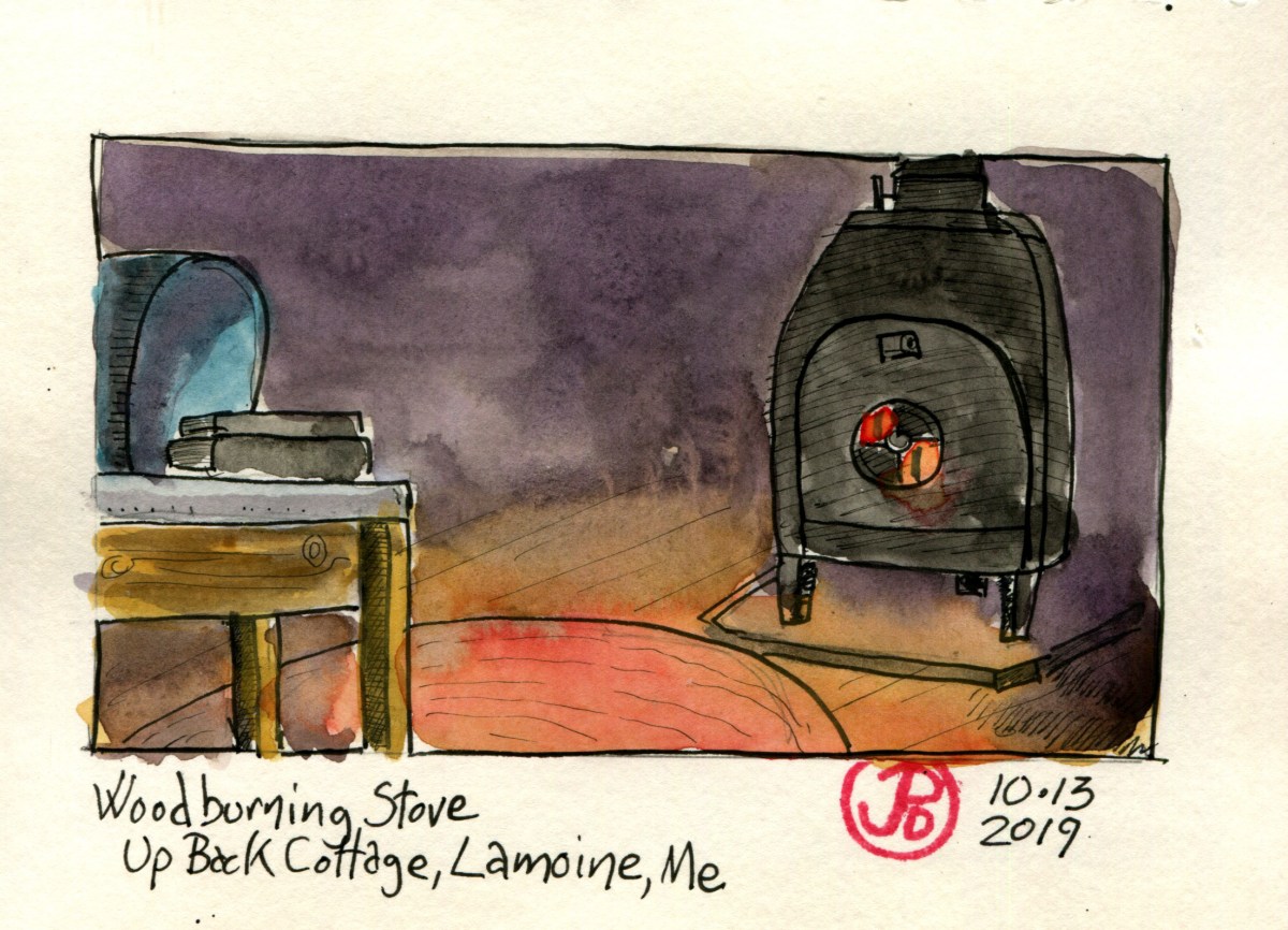
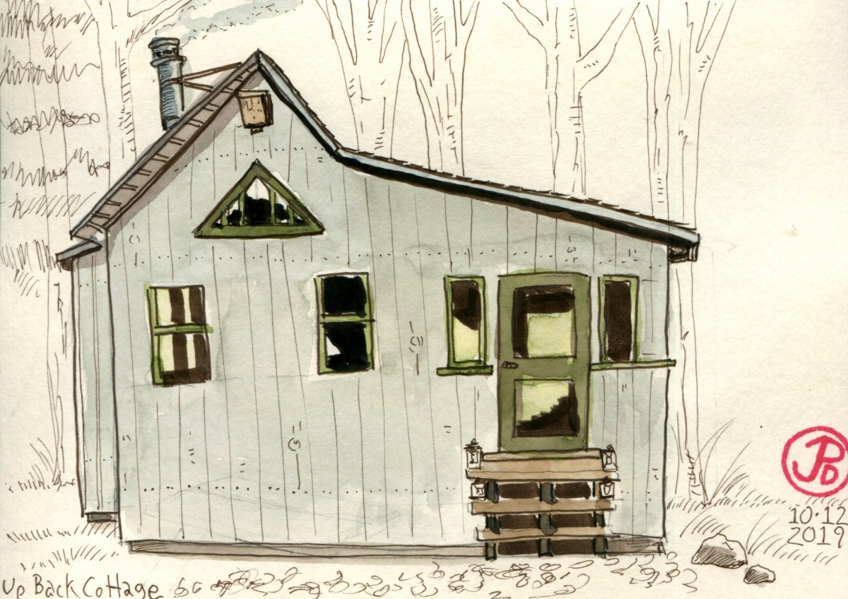
 Probably the most artistic entry I’ve ever made in an Airbnb guestbook. This dwelling really inspired me!
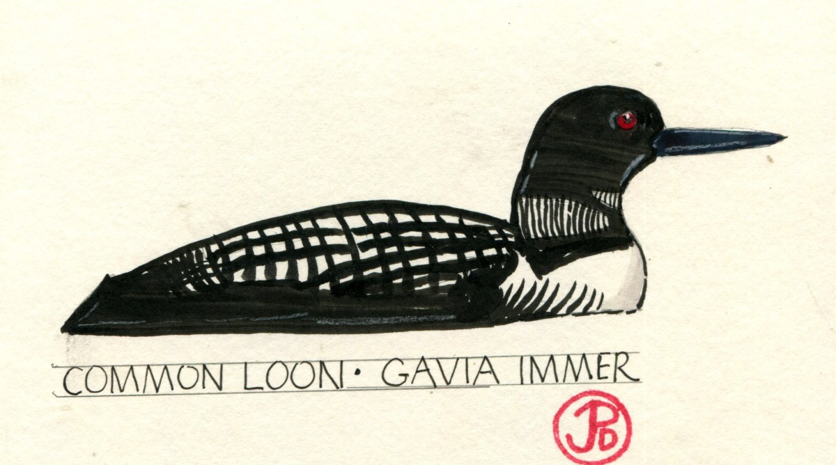
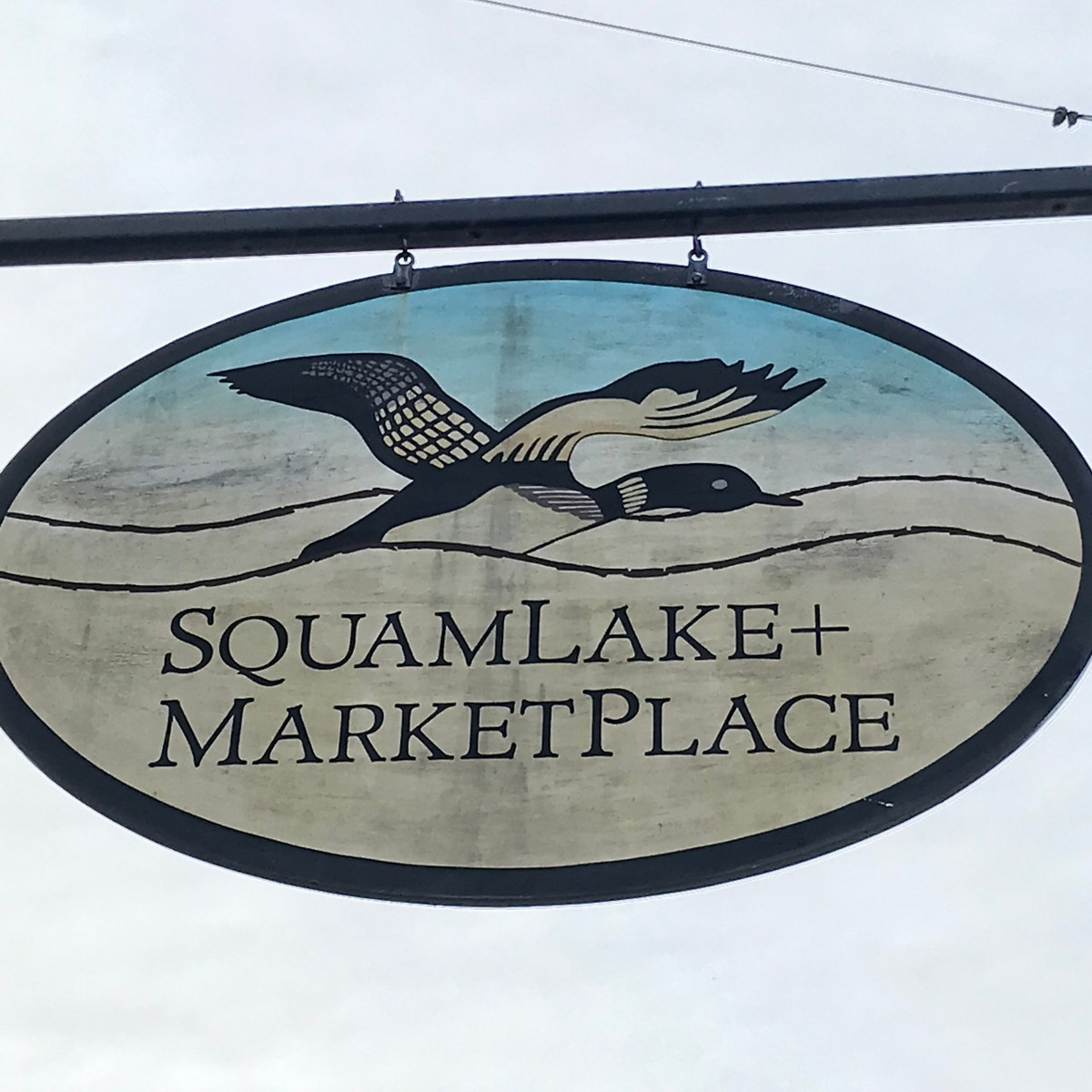 Exhibit A, yet another loon sign!