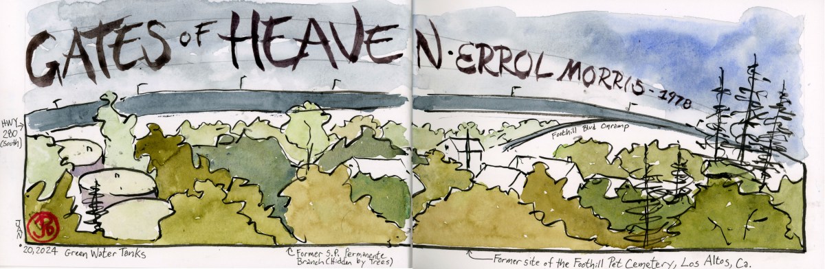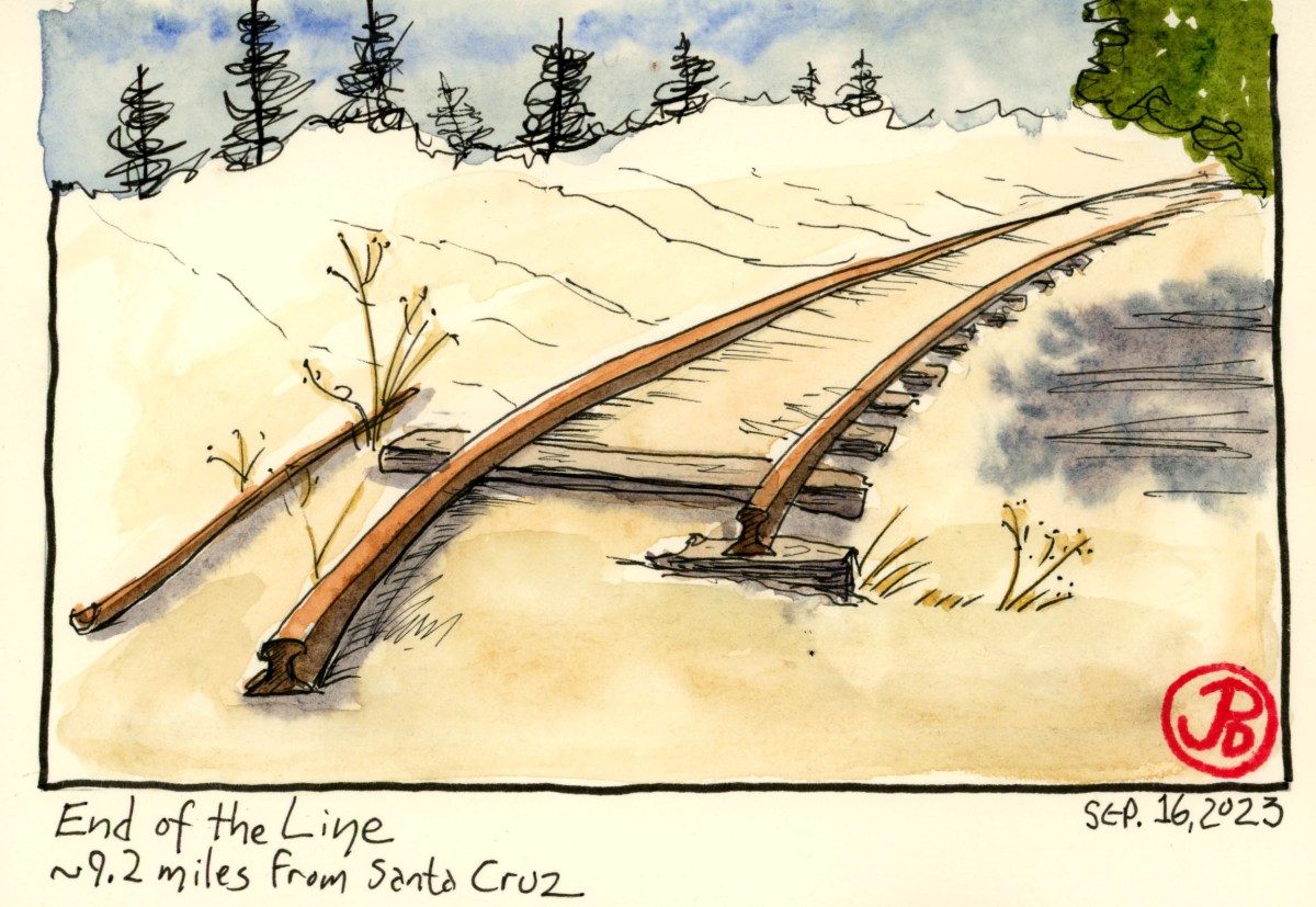
On a gray Saturday morning I decided to explore a recently opened section (opened in December 2020) of the Coastal Rail Trail in Santa Cruz.
The section I was exploring (Segment 7) is between Natural Bridges Drive and Bay Street. The walk takes about 30 minutes and the round trip covers about two miles.
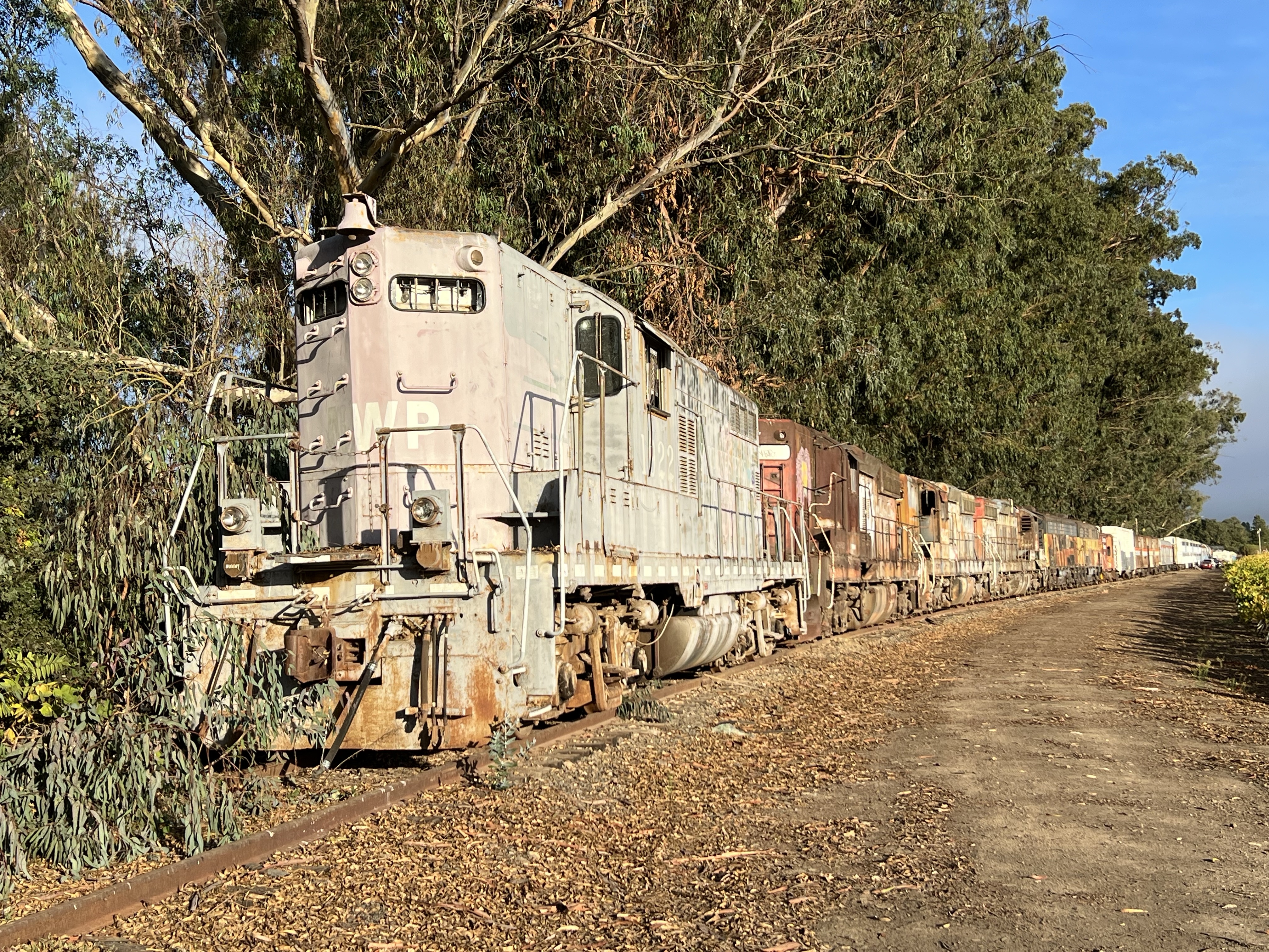
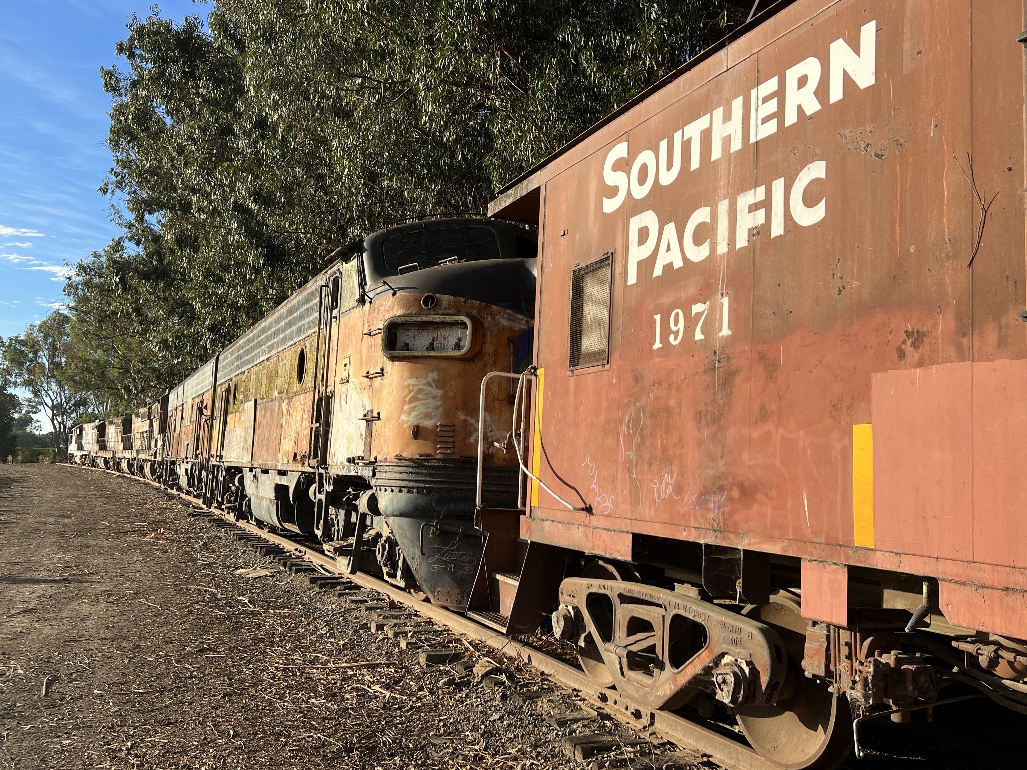
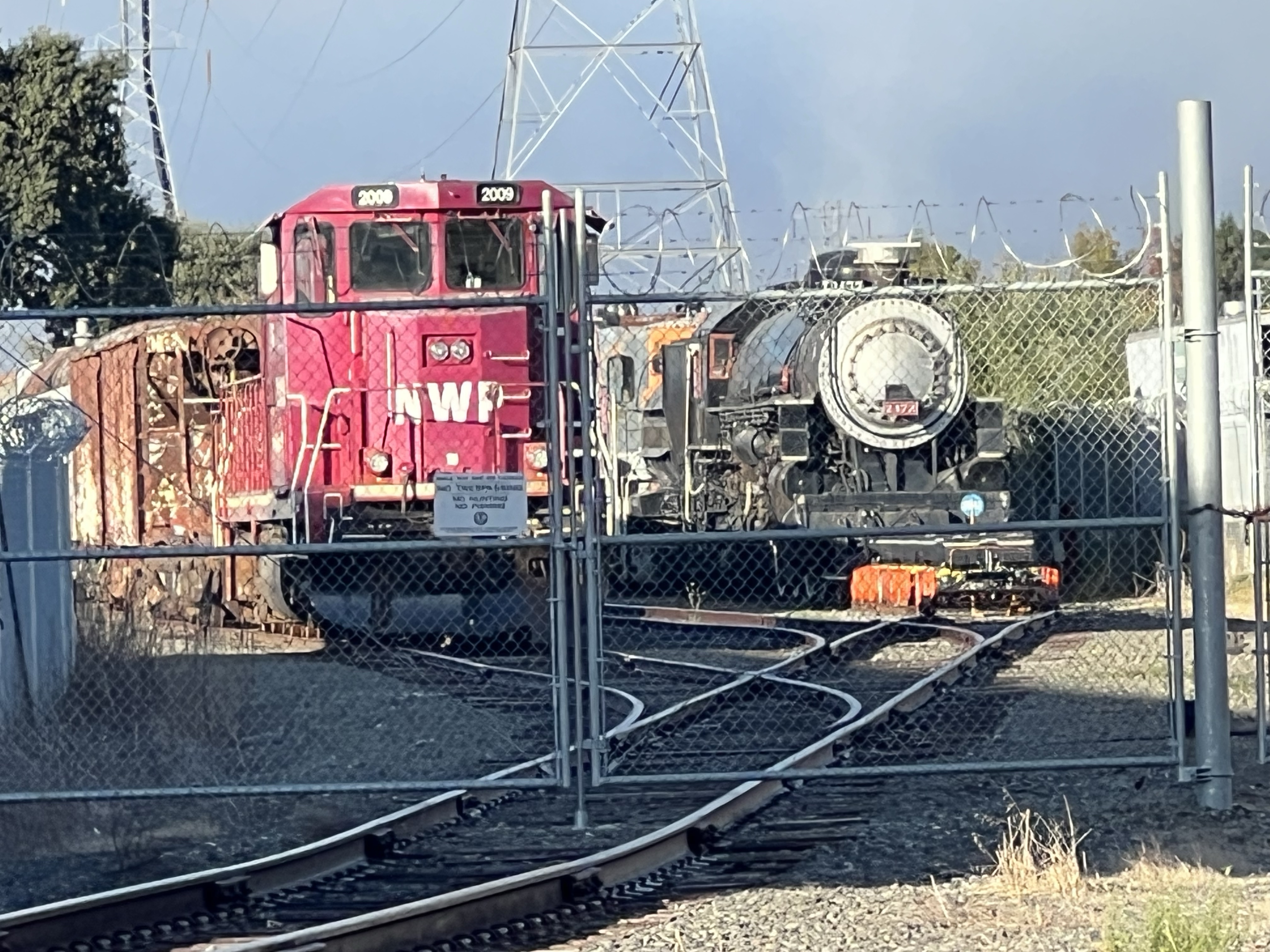
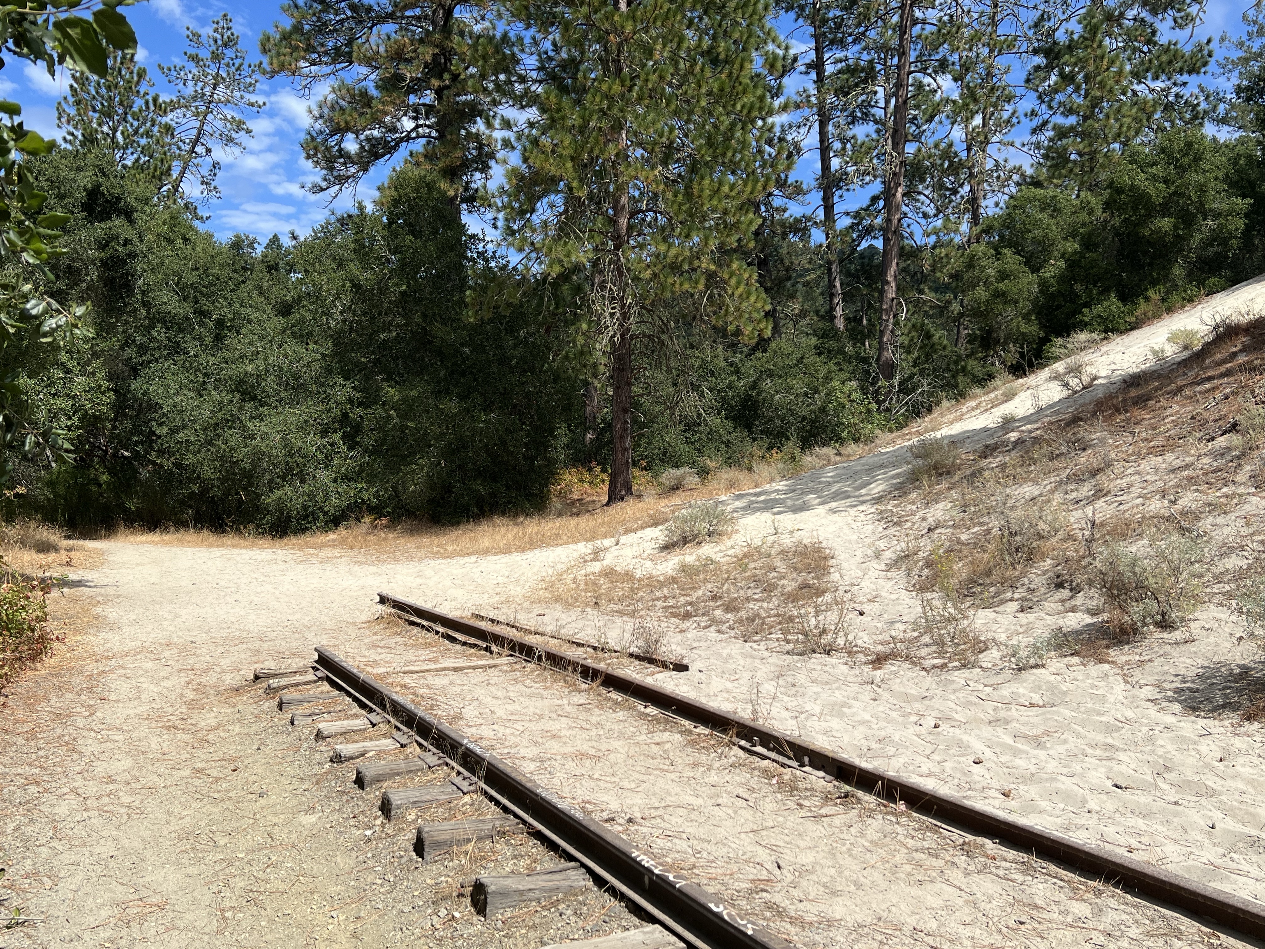
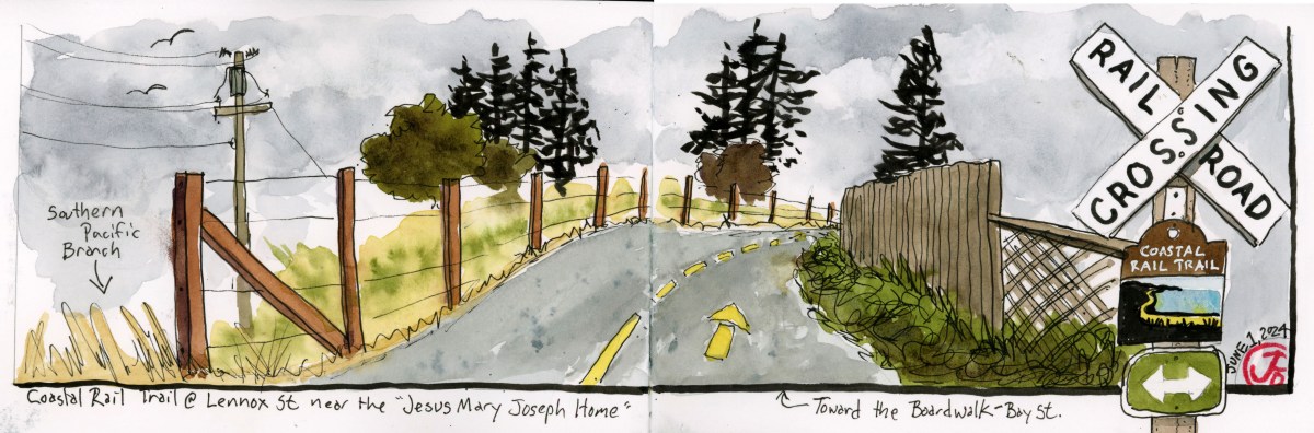
As the name implies, the paved pedestrian trail parallels the former Southern Pacific Davenport branch line from Watsonville to Davenport.
As of the date of writing only two sections of the trail have been opened, one in Watsonville and the section I was walking on in Santa Cruz.
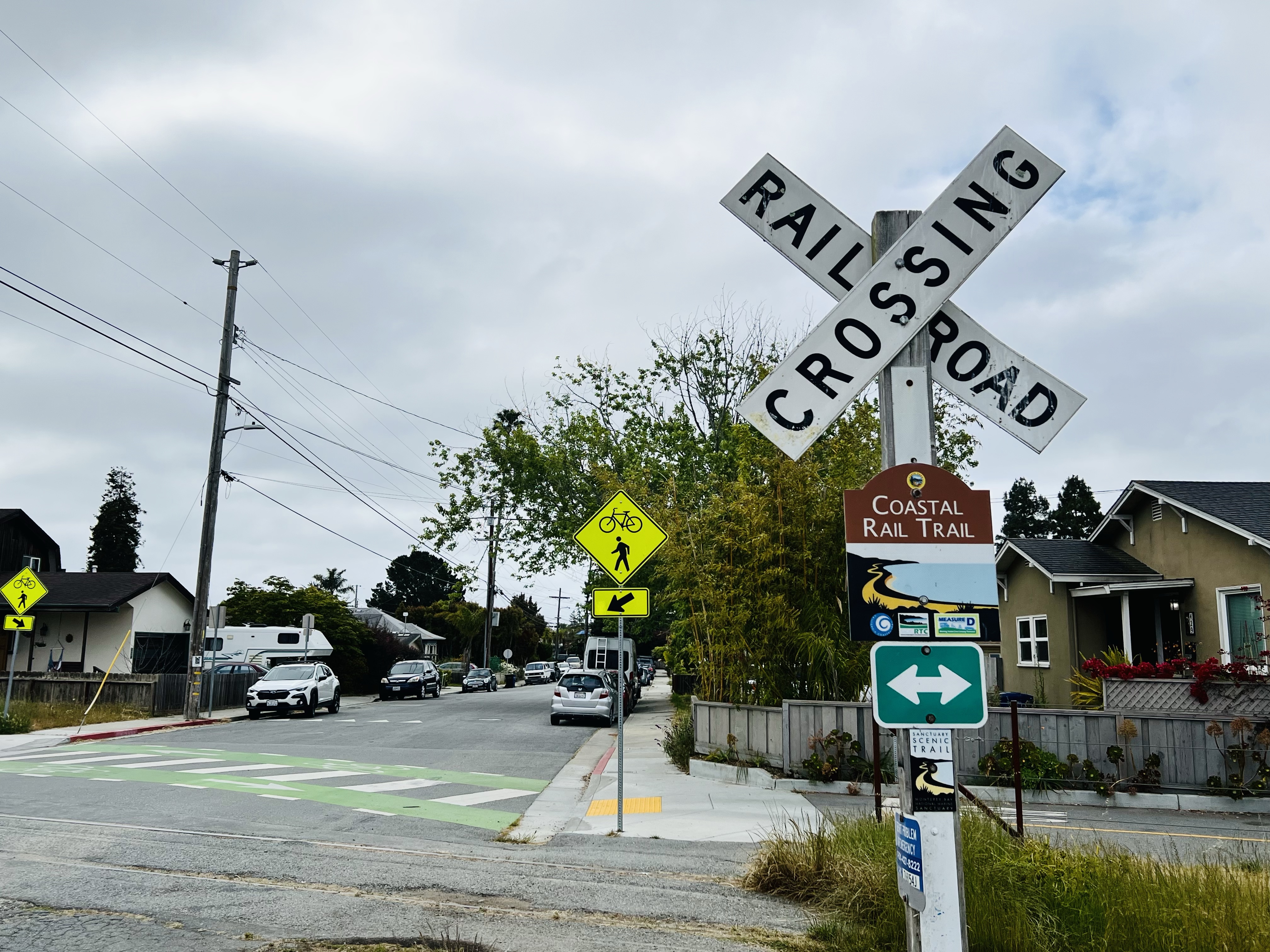
At grade crossings there are pedestrian signals that stops cars so you can cross the street safely. Well that’s the theory anyway. With the trail recently open, pedestrians should still use caution and not assume all vehicles will stop for you.
When the trail is completed, it will cover 32 miles from Davenport to Watsonville. There are also plans to introduce electric rail service using the former Southern Pacific right of way and trackage.
I started where the rail trail ends: Natural Bridges Way.
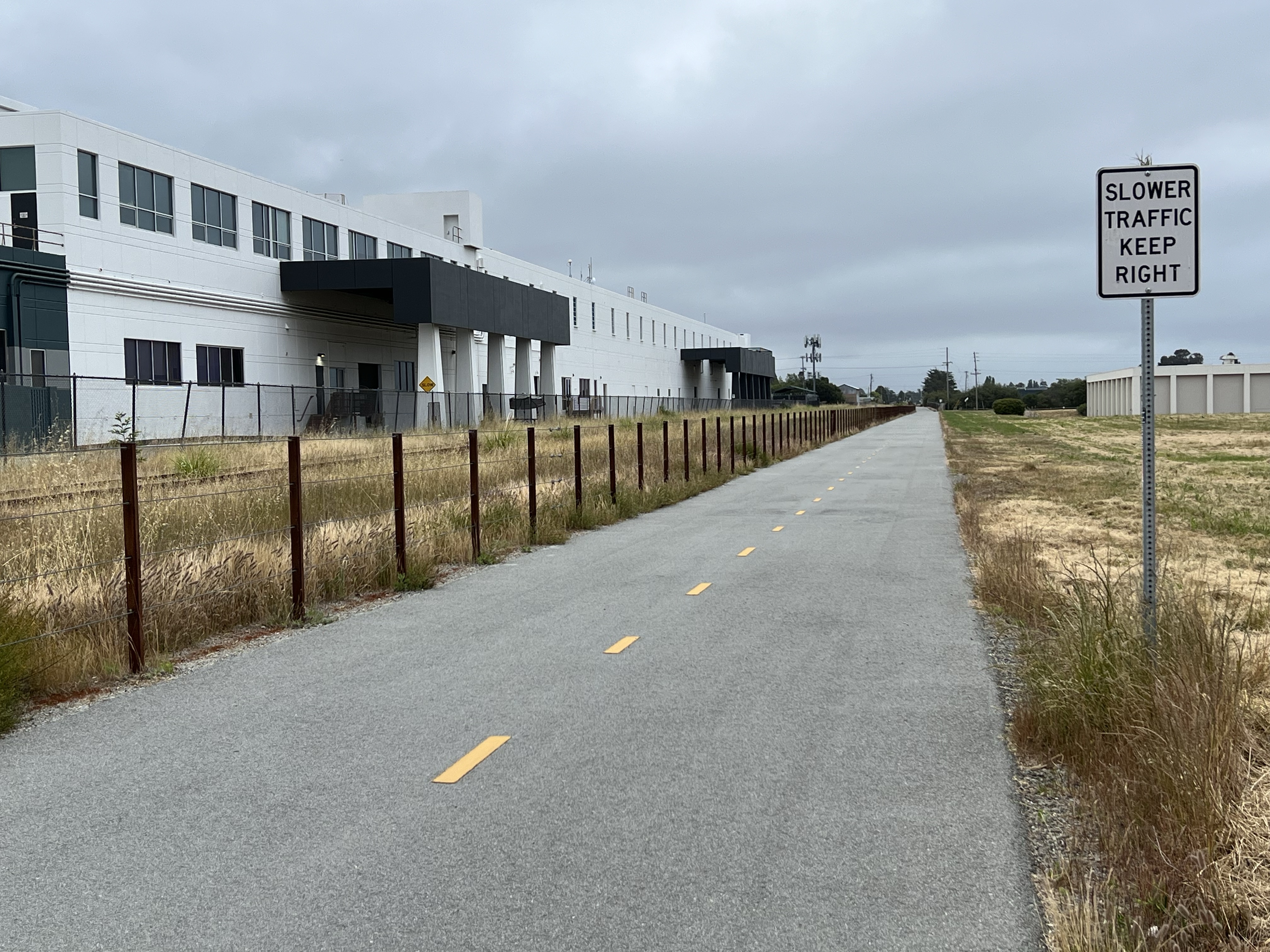
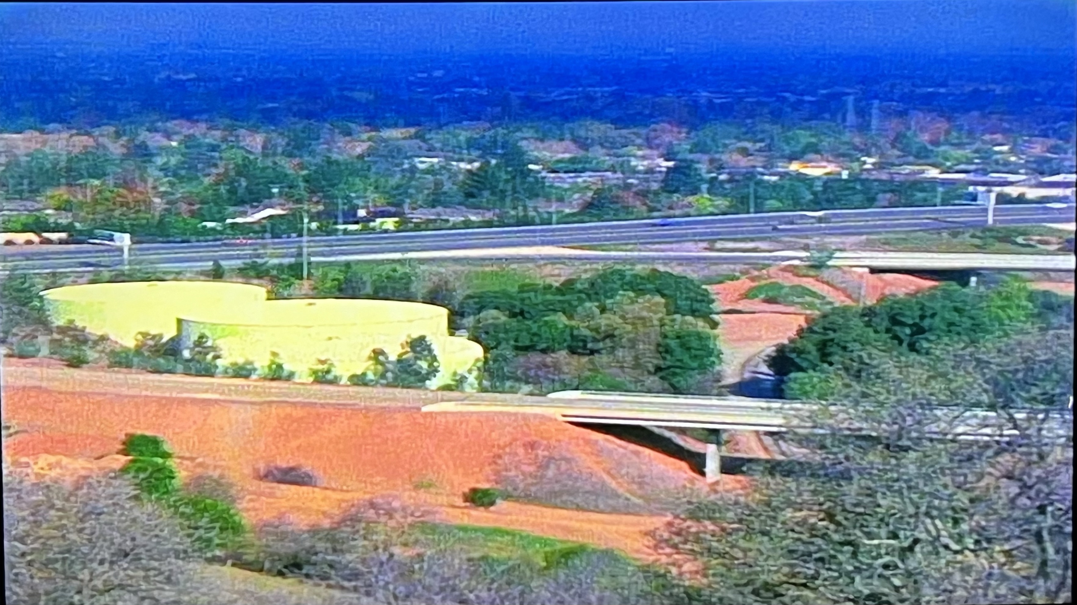
The Rail Trail passes by the former Wrigley Chewing Gum plant (left). The plant was in operation for more than 40 years and produced 20 million sticks of gum per day. The plant had a rail siding that is still visible today.
In my college days I remember visiting the gum factory with my roommate in an unsuccessful attempt to get a plant tour. The receptionist told us that they didn’t give tours but asked us if we would like some gum! We answered in the affirmative and then opened a drawer full of gum. I went for Big Red while my roommate picked Juicy Fruit.
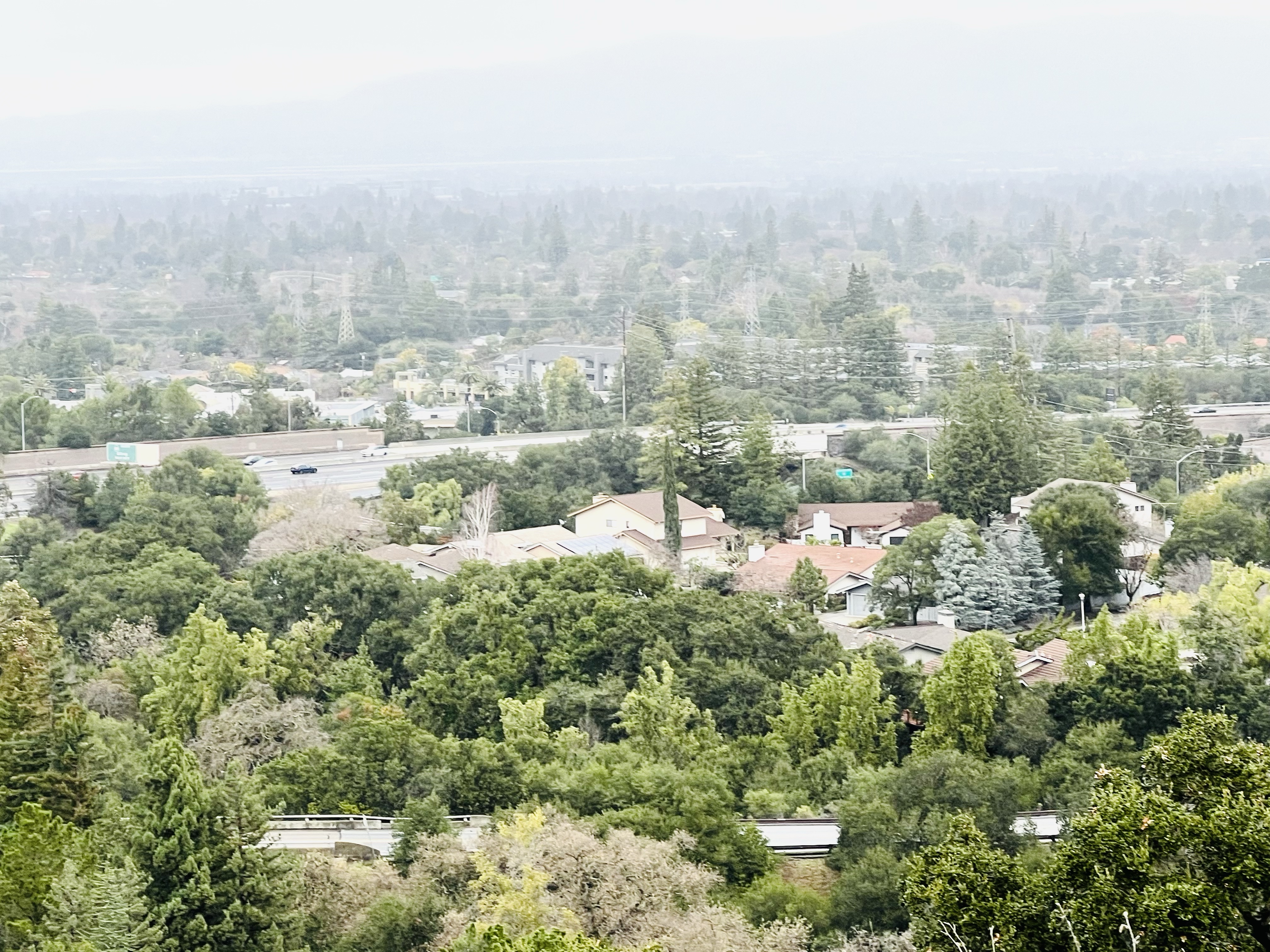
The trail is level as it parallels the rail grade. Railroad grades normally don’t exceed 2%. The steepest mainline railroad grade is 3.3% on the Raton Pass grade in New Mexico. A railroad grade is expressed as a percentage the grade rises or falls over 100 feet of horizontal distance. So a 2% grade rises and falls two feet over a 100 feet distance. These gentle grades are ideal for walking and biking.
I passed by the New Leaf Market at Fair Ave, often my first stop when I head into town, as the trail and line turns slightly to the left skirting the Westside Circles neighborhood.
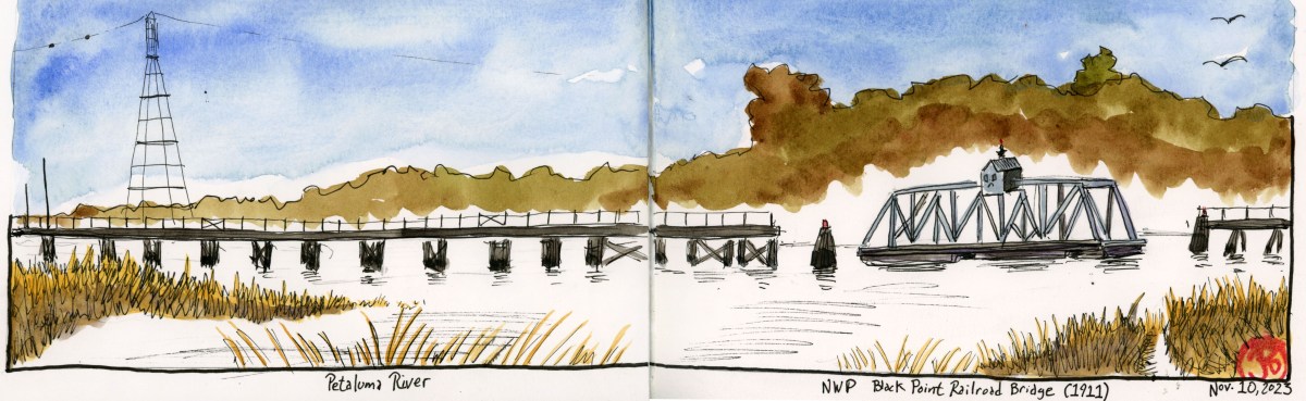
I came upon a scenic curve in the trail at Lennox Street as the rails and trail curve off to the right as it nears Bay Street. I pulled my sketchbook out of my bag and started sketching the view (featured sketch).
On the right of the spread I sketched the grade crossing sign at Dufour Street with Coastal Rail Trail sign below the crossbuck.