I look forward to seeing and sketching the world’s largest volcano on the planet earth, Mauna Loa, the Long Mountain.
The volcano is so big, and such a major part of the island of Hawaii, that is tough to get a firm perspective of the mountain, so I was going to have to get a little creative with my viewpoints on how to capture the mountain in sketch.
I before I stand before the mighty mountain, pencil and sketchbook in hand, I wanted to do a pre trip sketch to help put the scale of Mauna Loa into perspective.
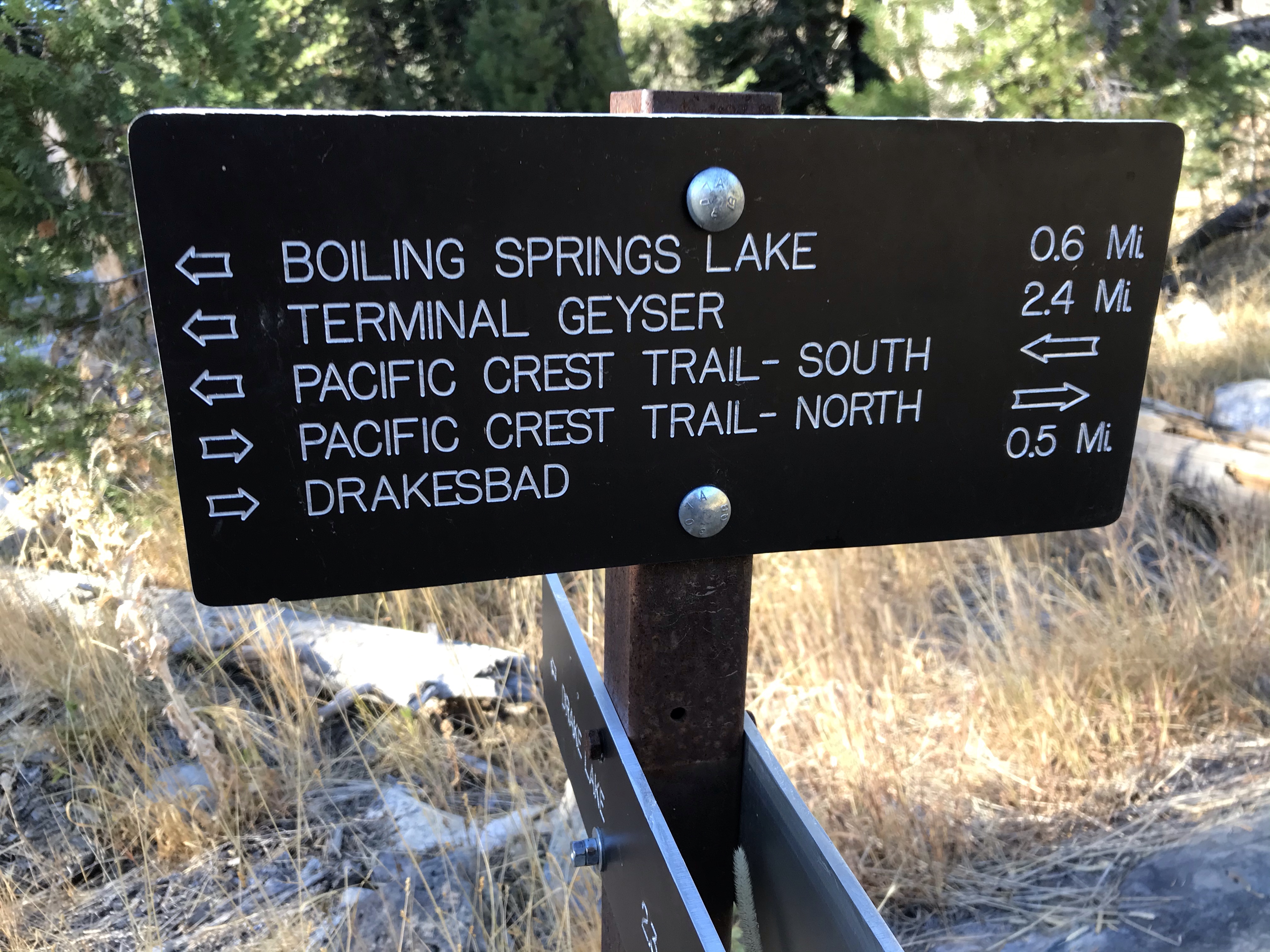
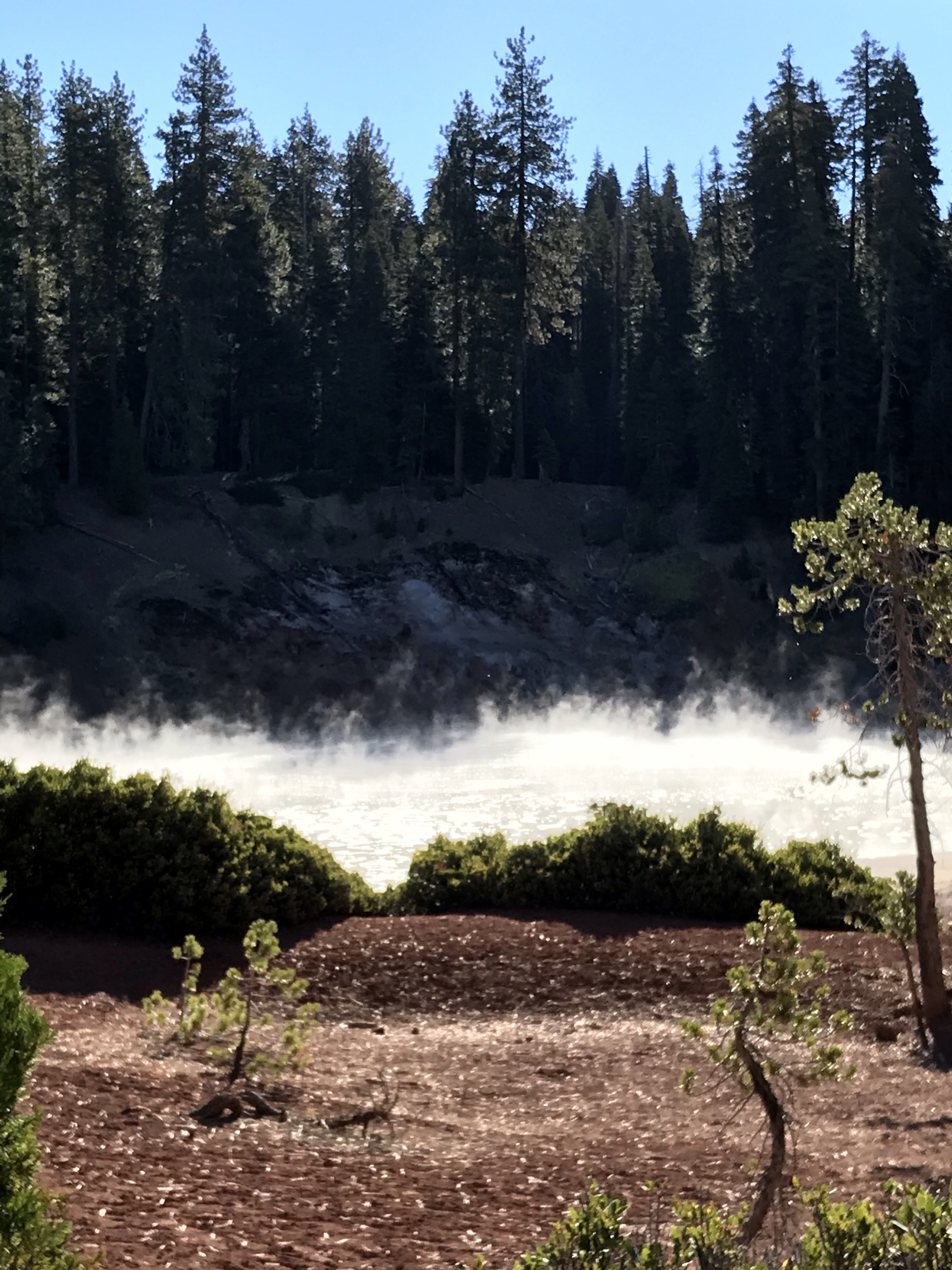
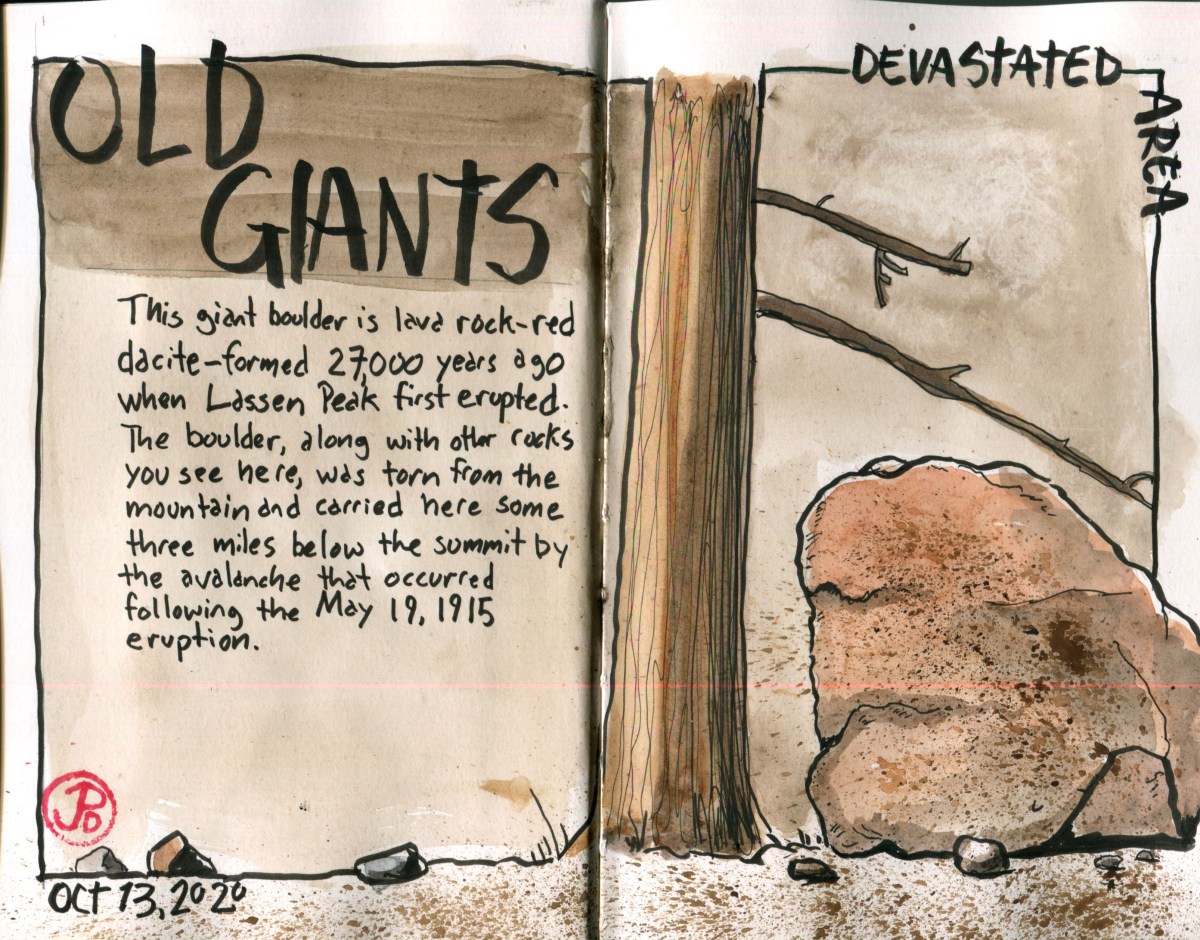
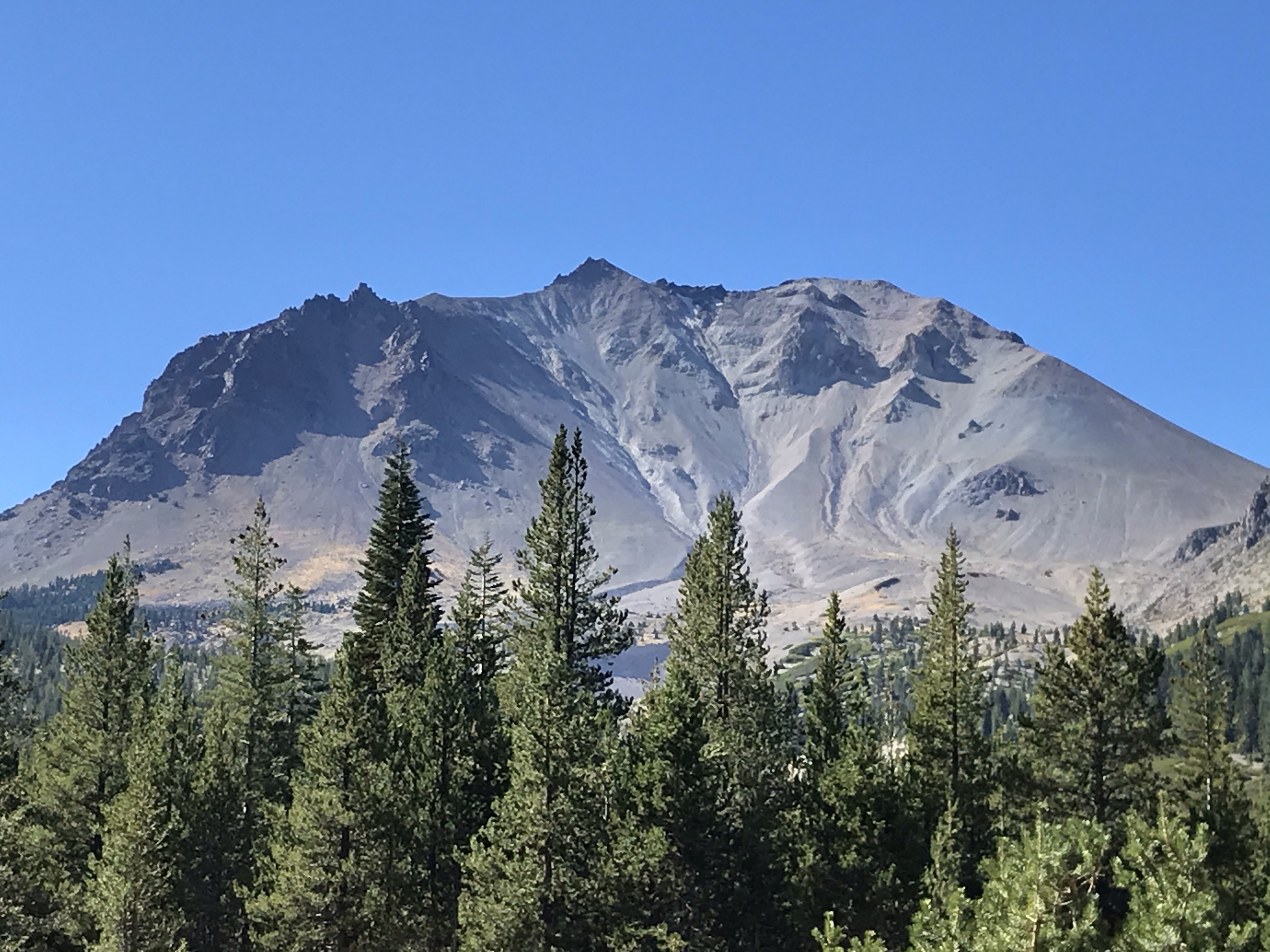
A volcano I had visited in recent memory was Mount Lassen. This was a volcano that had erupted sometime ago (in May of 1917) but it was clear to see in quite easy to sketch. I was looking forward to comparing both of these volcanoes and how they were alike and different.


For my spread about Mauna Loa, I based of my sketch on part of a map I picked up at REI. The map was produced by Franko Maps and is titled “Hawaii Adventure Guide”.
The specs of Mauna Loa are incredible. It’s the largest active volcano in the world. It rises 13,100 feet above sea level. But if you look at the base of the seafloor where Mauna Loa rises, it is a 32,000 ft making it the largest mountain on planet Earth. That is almost 3,000 feet taller than Everest. Mauna Loa extends for 74 miles and covers half of the island of Hawai’i and it’s area adds up to about 85% of the area of all the other Hawaiian Island combines.
One of Mauna Loa’s eruptions produced the largest earthquake in Hawaiian history.
Mauna Loa is a very active volcano having erupted 33 times in recorded geologic history. It’s last eruption was in 1984, which is a extremely short time ago on the geological timeline. That eruption came within seven miles of Hilo.
Will Mauna Loa erupt again? It is not a question of “if” but “when”.