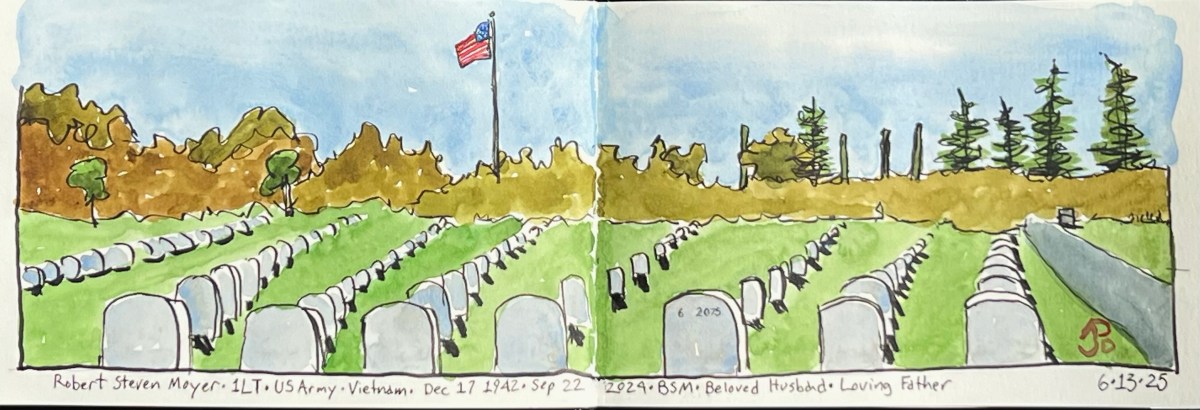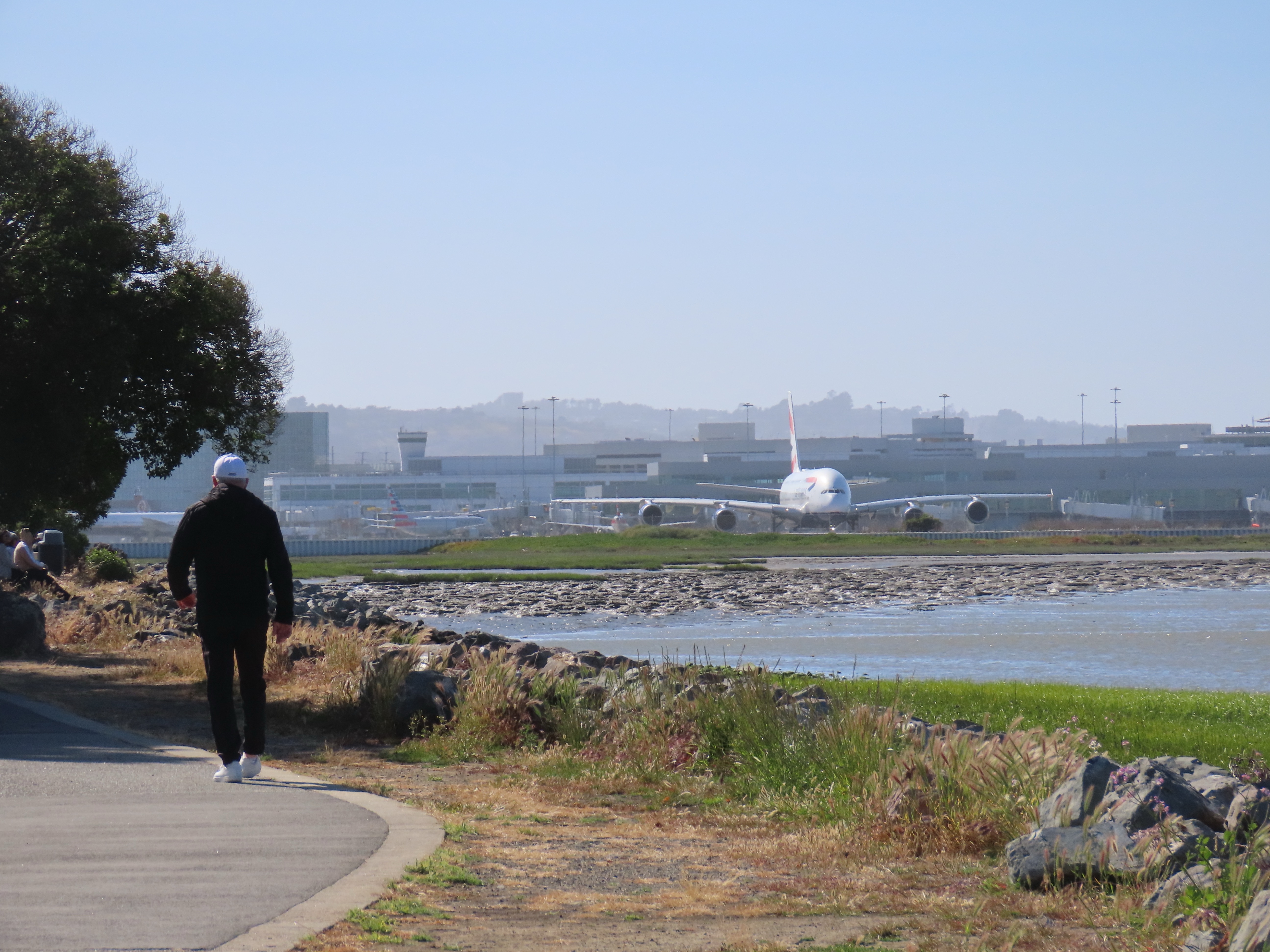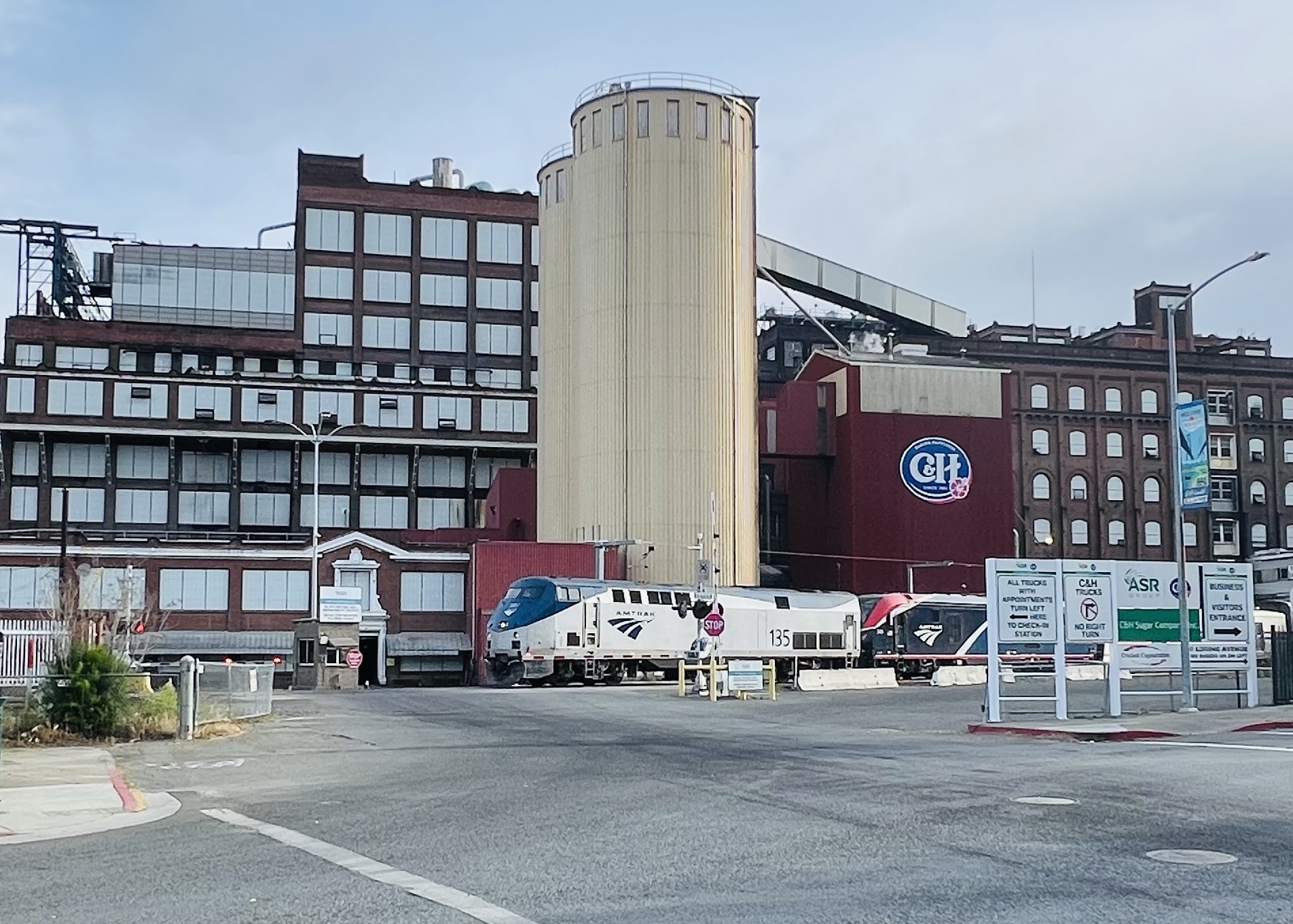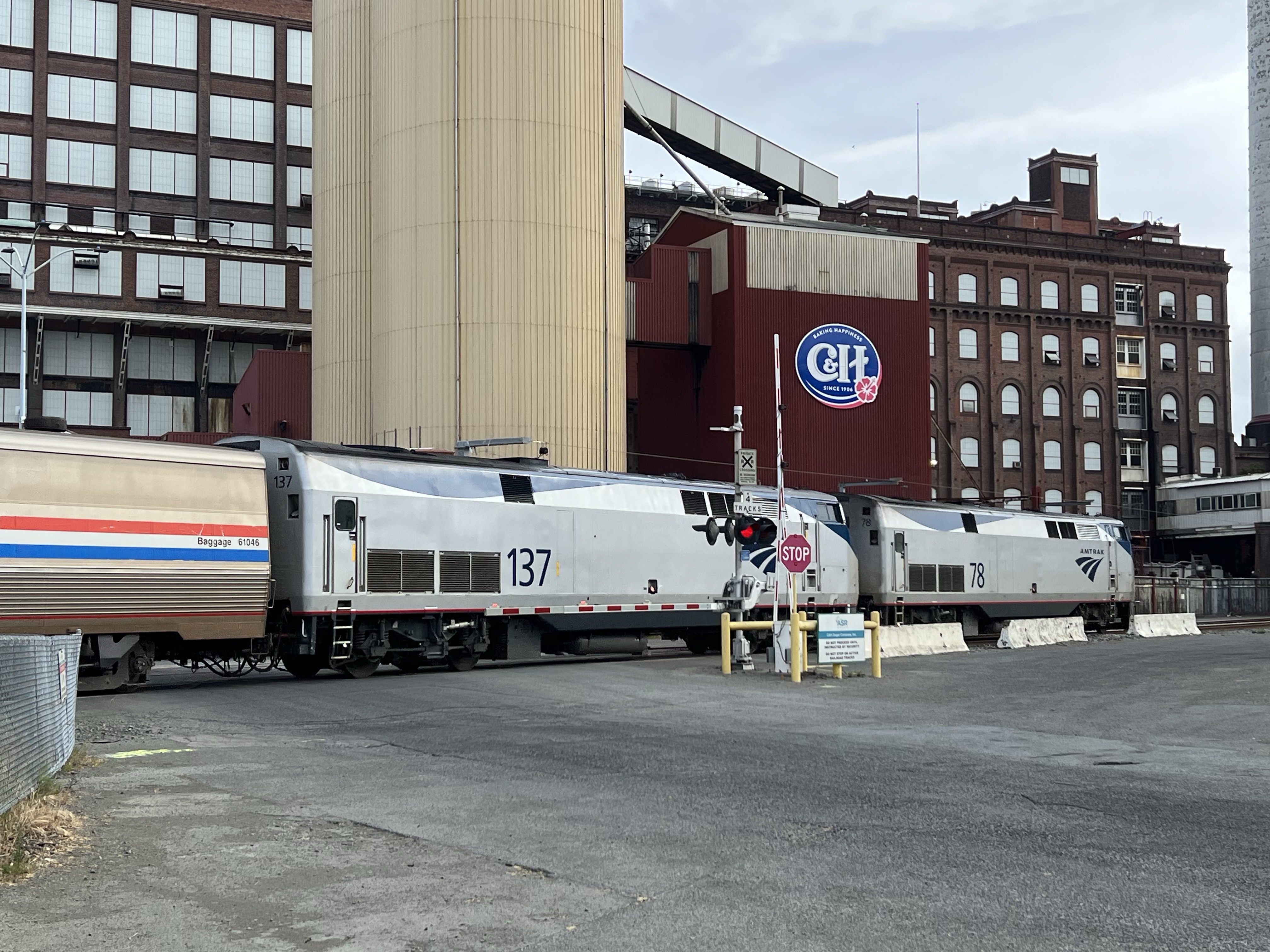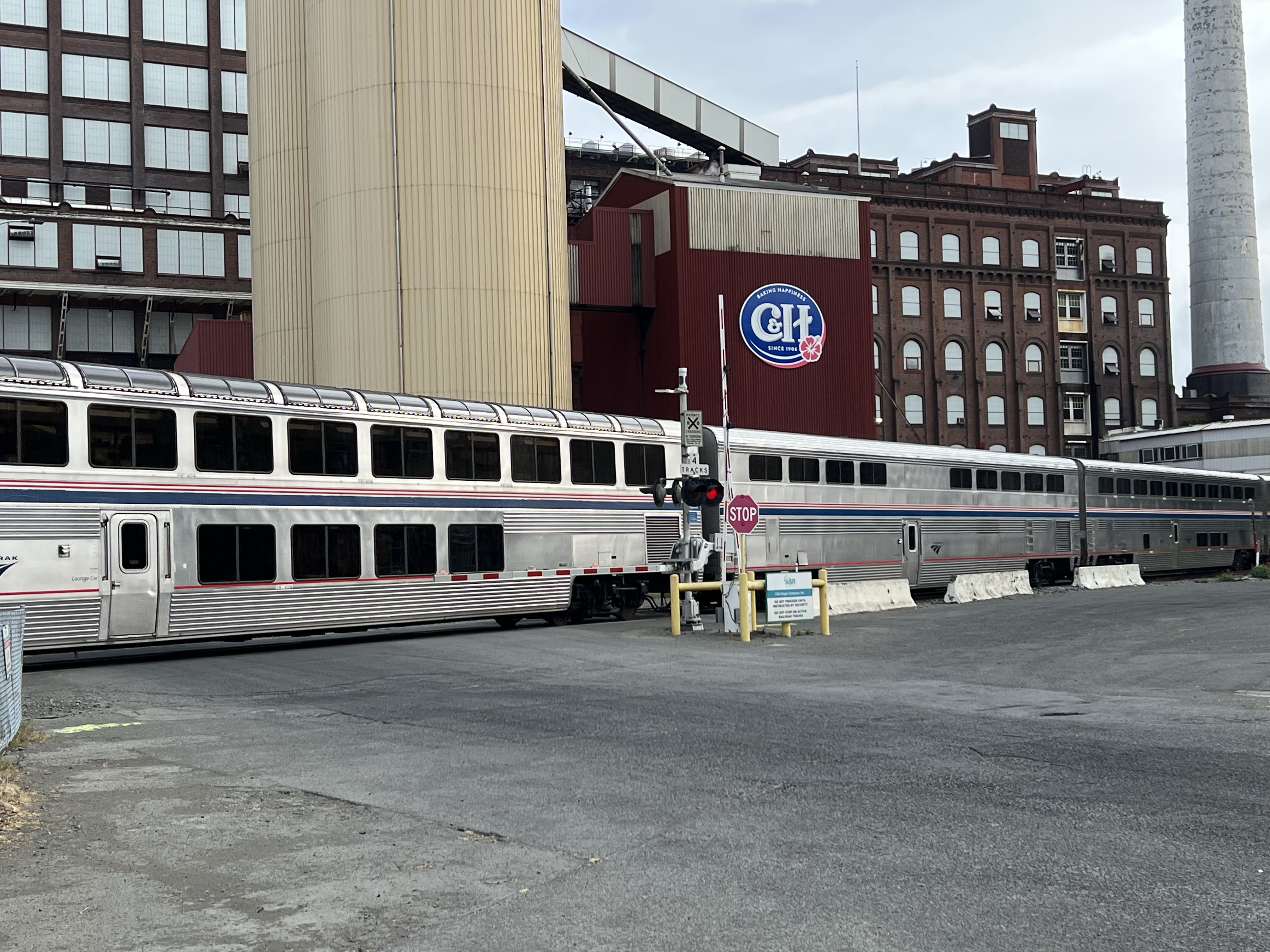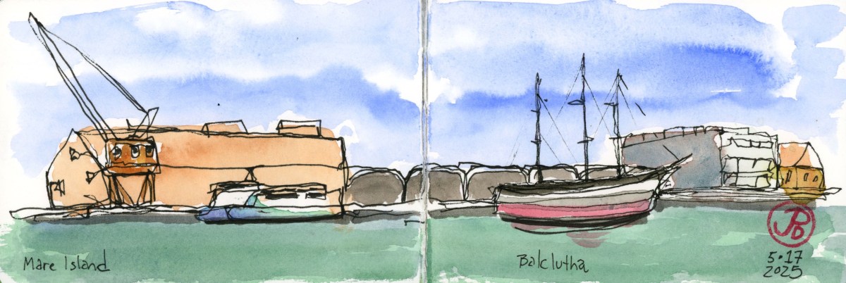
The former Naval base on Mare Island is a sketcher’s paradise. It’s full of cranes, condemned buildings, dry docks, bridges and rusted rails. Plenty of shapes and perspectives to add to my sketchbook.
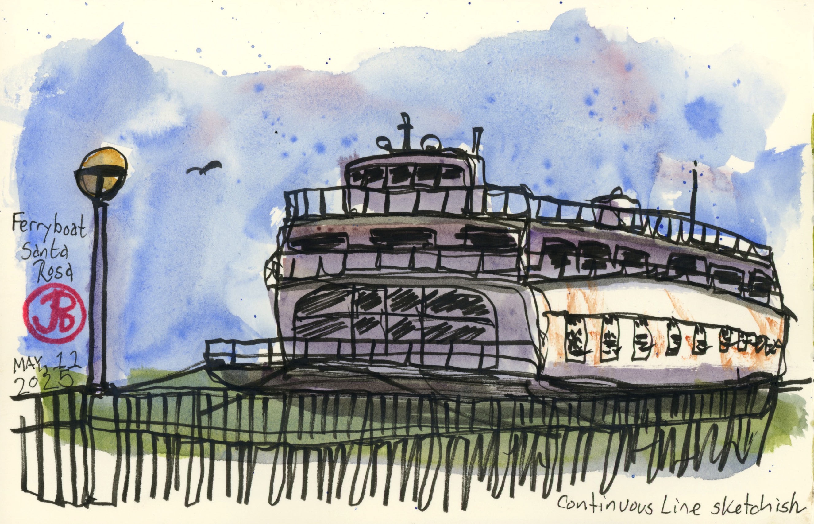
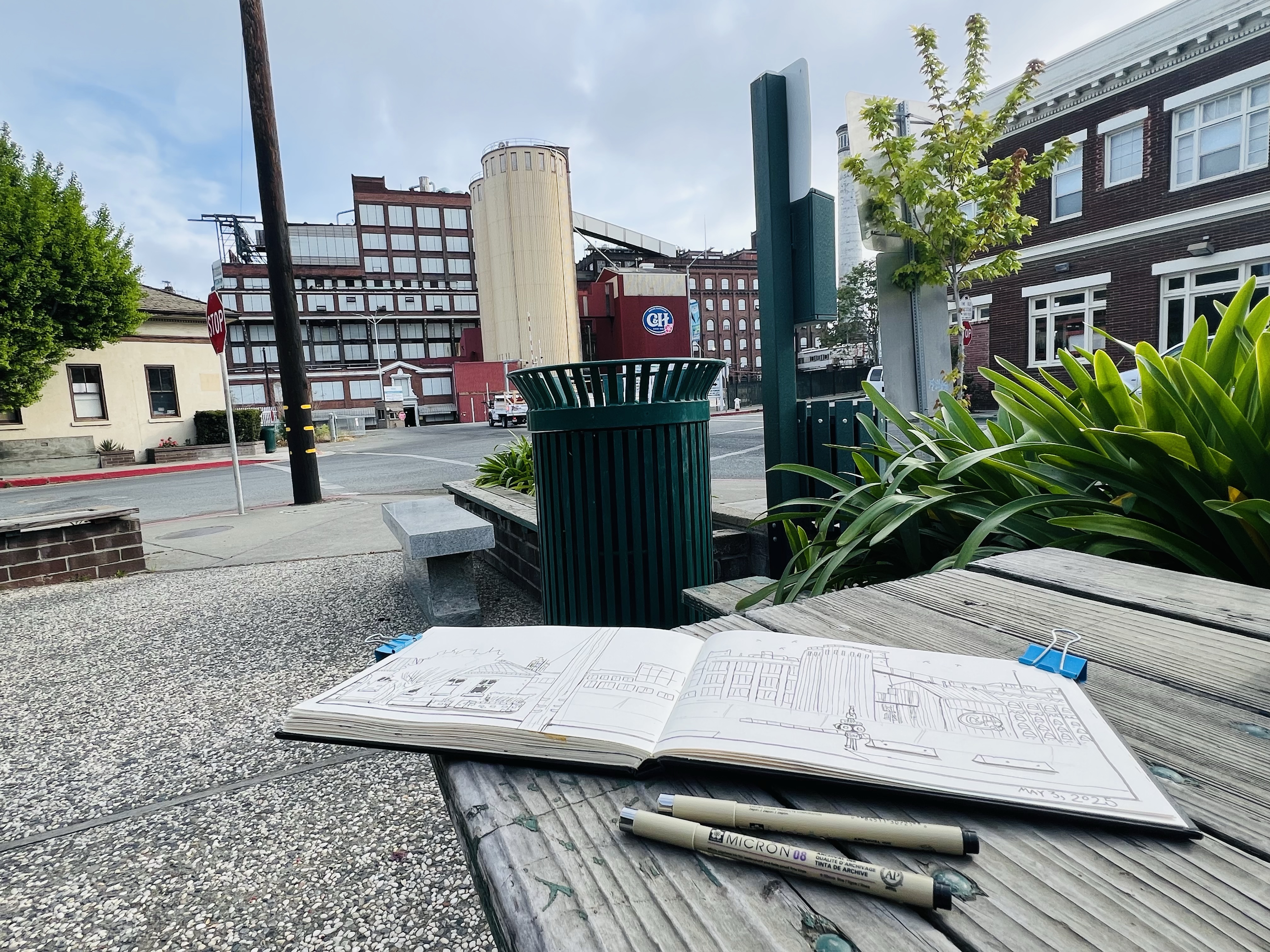
On a recent journey to Vallejo to visit a friend, I headed to the ferry terminal across the Napa River from Mare Island to do a park bench continuous line sketch of the river front with the Balclutha moored to the dock (featured sketch).
The 1886 three master (aka Star of Alaska) is temporarily on display here while the pier at the San Francisco Maritime National Historic Park is rebuilt.
Also moored nearby is a modern bay ferry which I included in the sketch as a bookend to Bay Area maritime history.
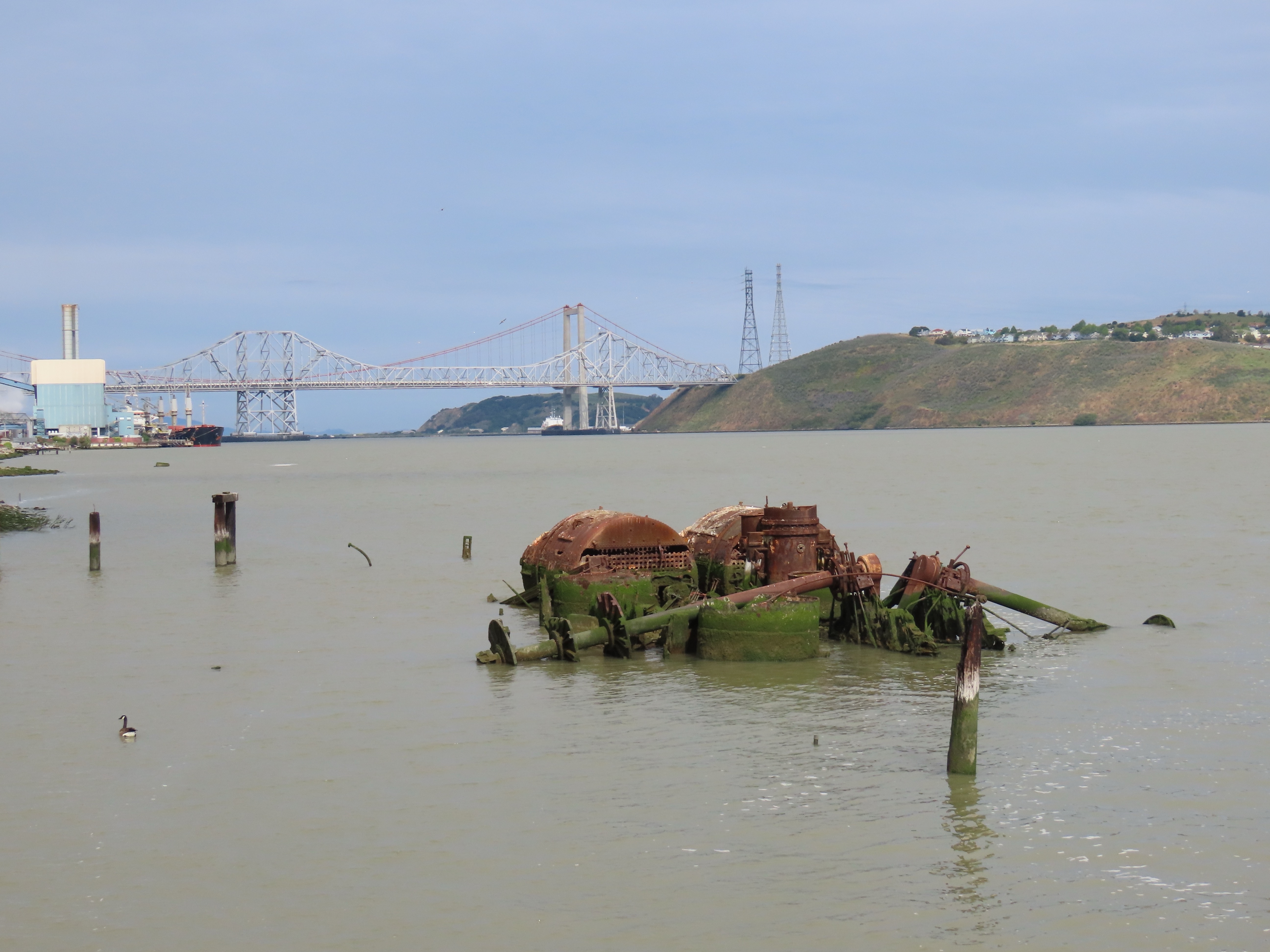
Mare Island Mud Puppy
From my sketching position near the Vallejo Ferry Terminal I was looking across the Napa River towards the location of one of the most infamous sinkings in Mare Island history.
On May 15, 1969 the Sturgeon-class nuclear submarine the USS Guitarro was moored to the pier in the Napa River. The sub had been built and launched (July 27, 1968) on Mare Island and now was still under construction.
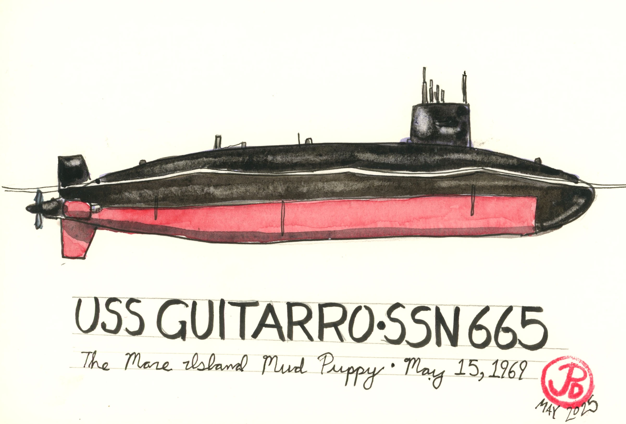
Two construction groups were working on different parts of the sub at the same time. They began adding water to the ballast tanks, unbeknownst to each other. The construction groups were warned that the Guitarro was riding low in the water but did not heed the warnings.
At 20:30 (8:30 PM) the groups, after returning from lunch, noticed the sub taking a downward angle and the Guitarro was taking on water from her forward hatches. At 20:55 the Guitarro sank to the bottom of the river leaving her sail above the waterline thus earning the dubious nickname: “Mare Island Mud Puppy”.
The sub was refloated a few days later and damages were estimated to be between $15 and $22 million. The sinking of the Guitarro put an end to submarine construction and repair at Mare Island. Mare Island Naval Shipyard was once the premier West Coast submarine port. The last sub built at Mare Island was the USS Drum in 1970.
The USS Guitarro was commissioned (32 months late) on September 9, 1972. She was in service until 1992 when she was decommissioned and scrapped at Puget Sound, Washington in 1994.