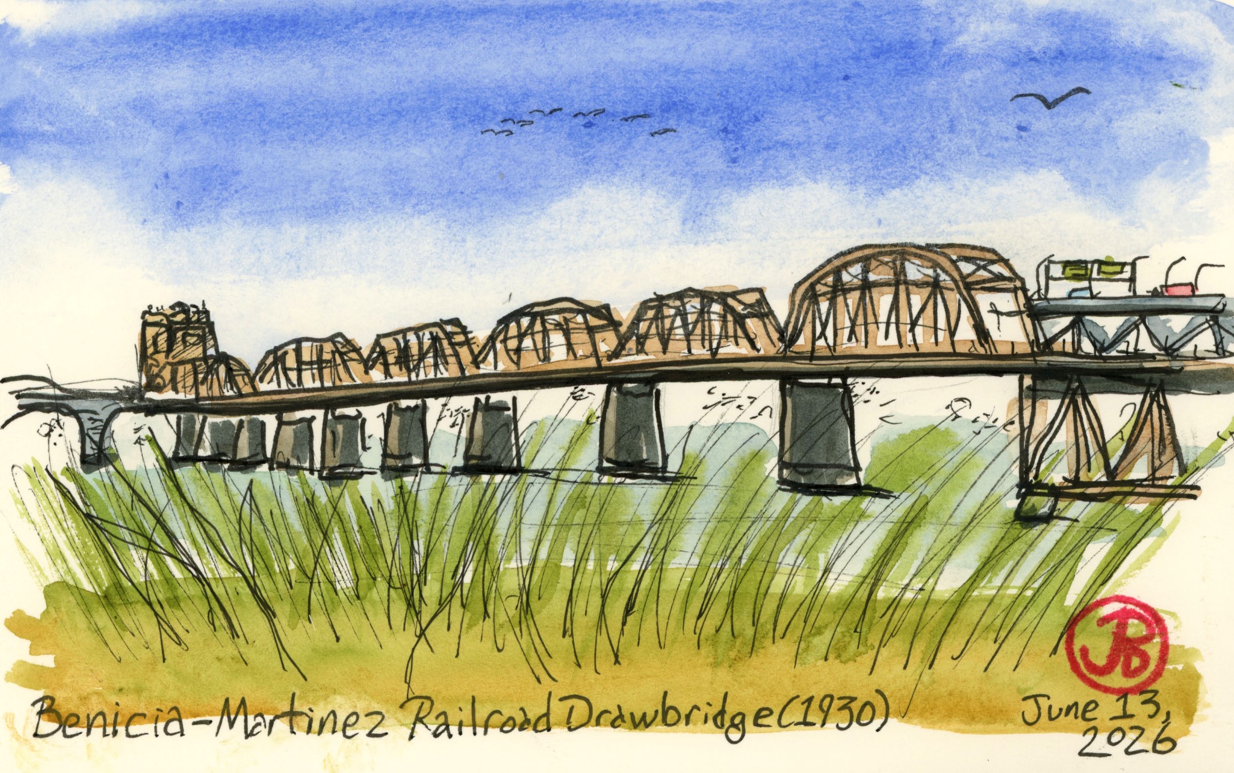
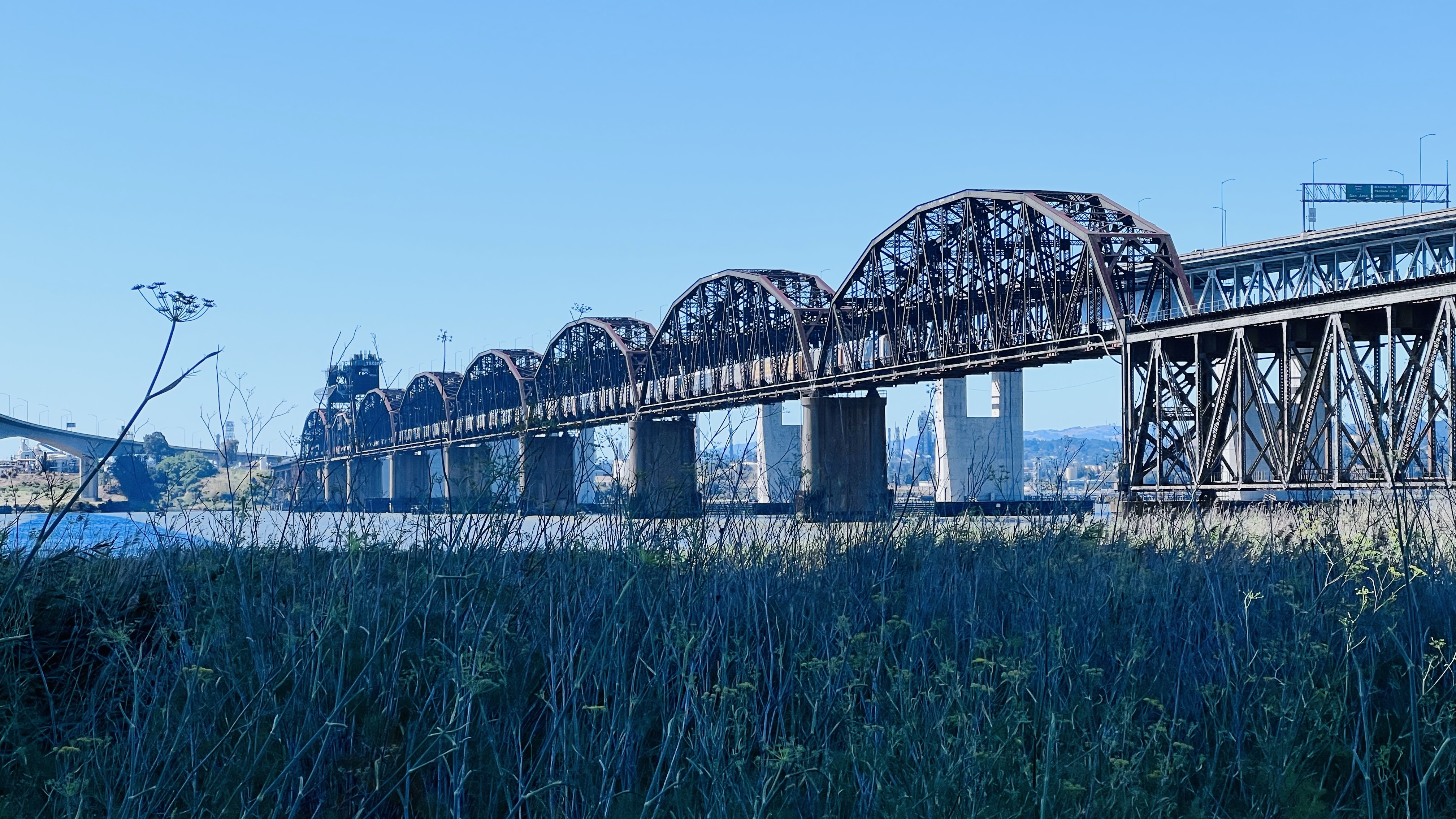
After sketching some Bay Area railroad ferry history, I wanted to sketch the 1930 railroad bridge that killed off the ferry between Benicia and Port Costa.
As rail traffic increased (both passenger and freight) and the rail ferries aged and needed repair or replacement, this caused more delays on the Overland Route (not to mention delays caused by fog). Southern Pacific looked into building another ferry but soon realized that a rail bridge spanning the strait was the best solution.
The railroad bridge was built for Southern Pacific Railroad between the years 1928 to 1930.
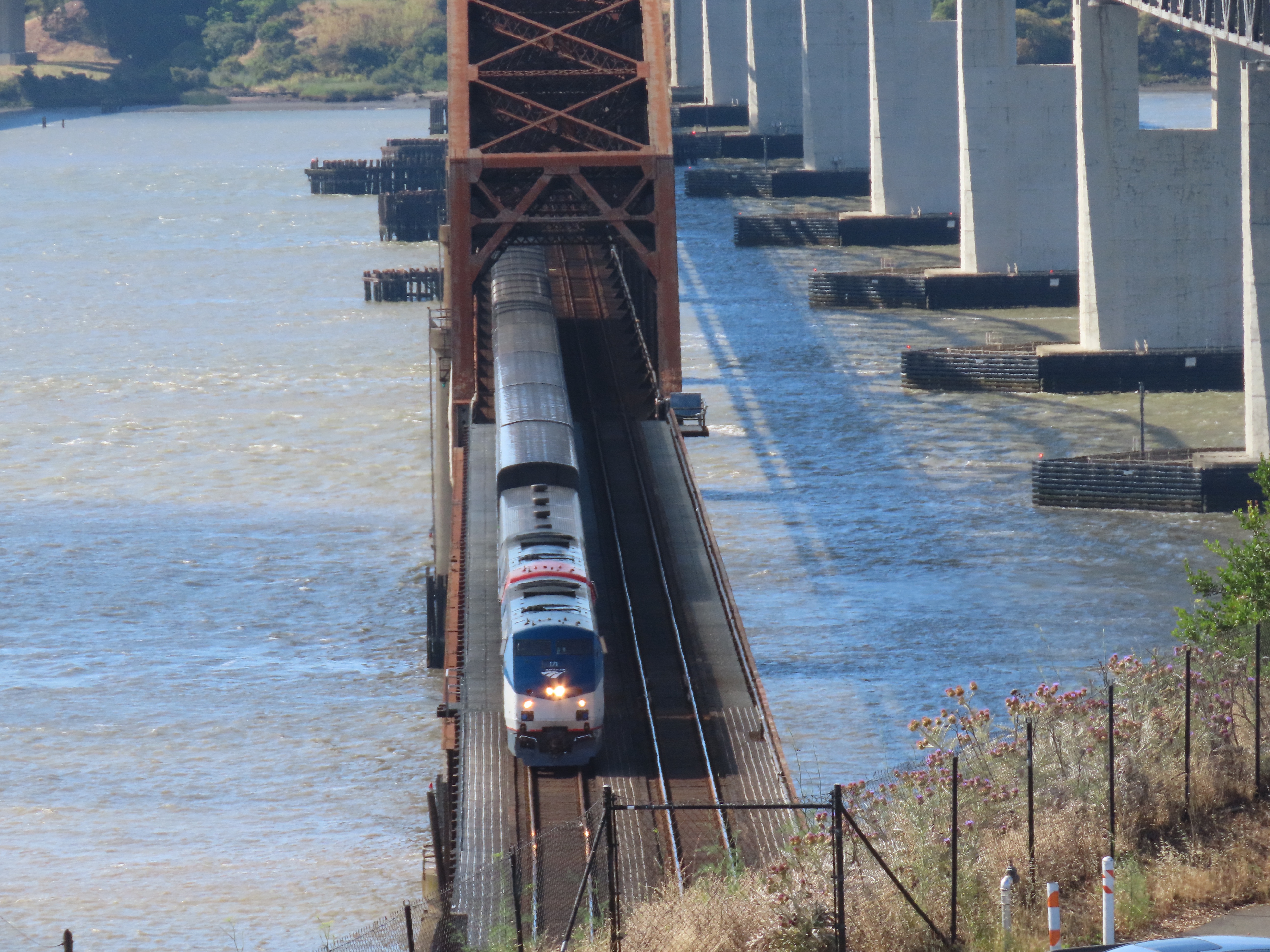
The bridge is impressive because it is the second longest railroad bridge (5,603 ft 6in long) in the country and the longest west of the Mississippi.
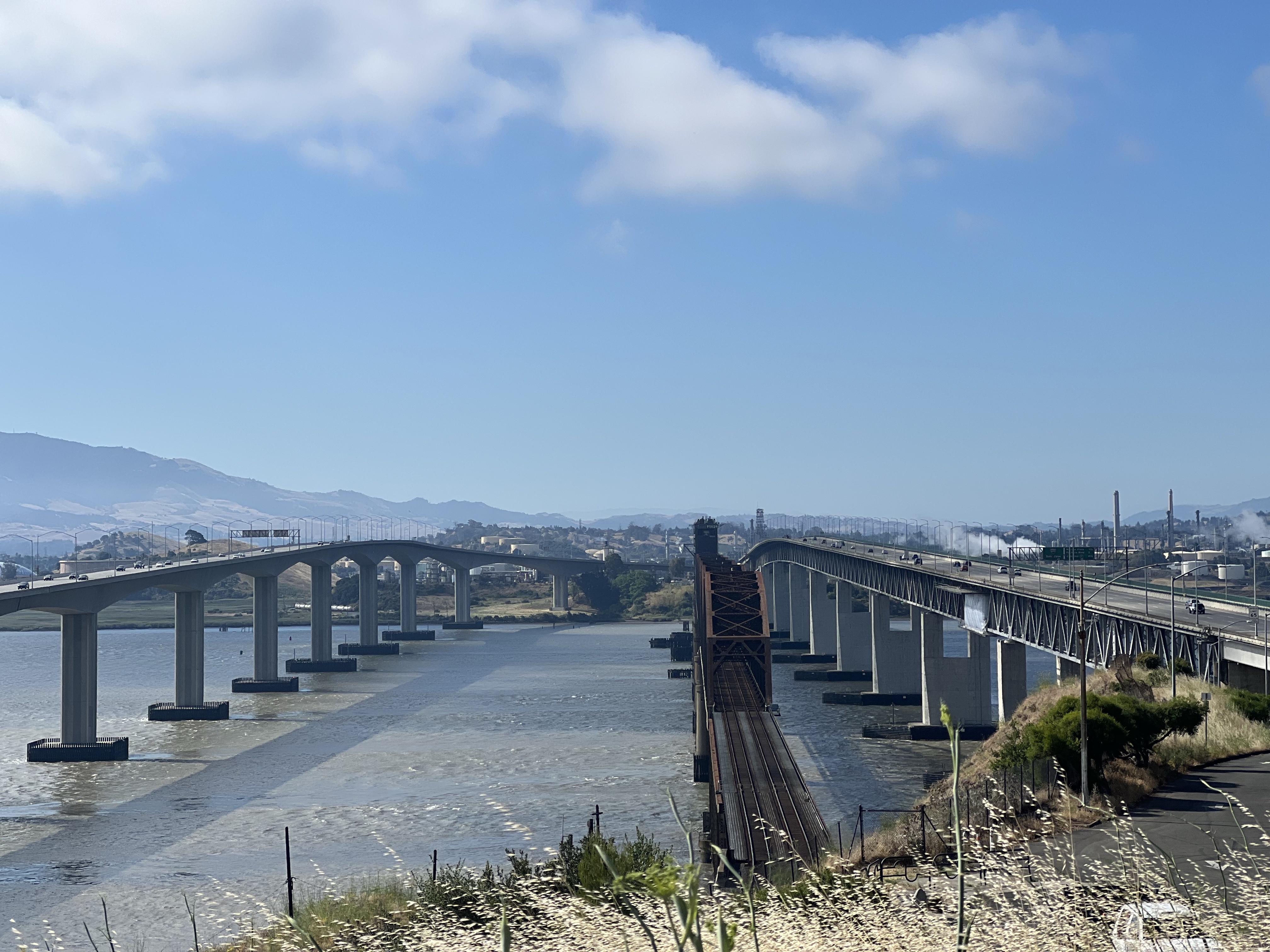
The railroad bridge is now flanked to two automobile bridges that cross the Carquinez Strait. One span was built in 1962 while the other completed in 2007.
The longest railroad bridge west of the Mississippi.
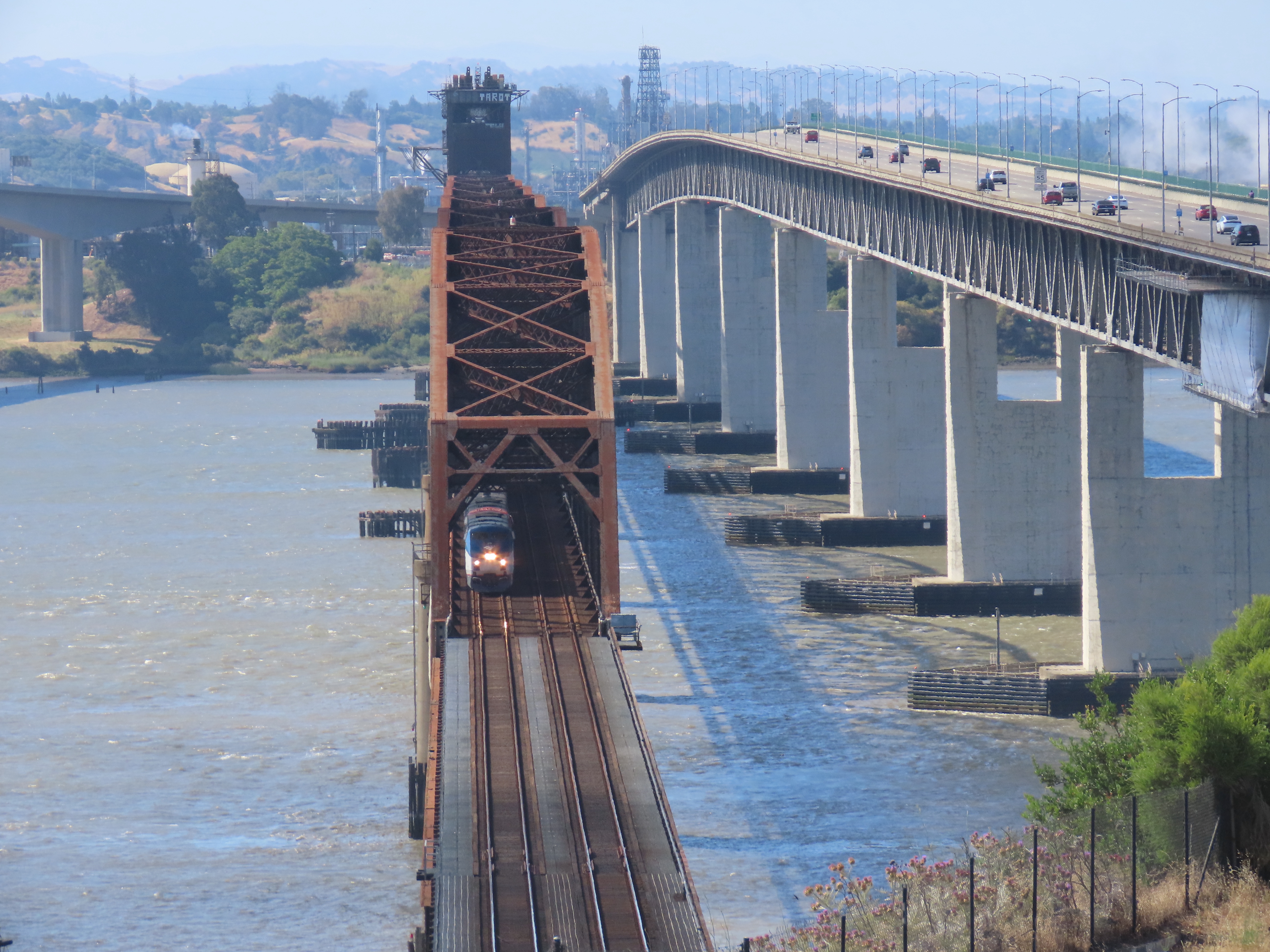
Because the bridge is relatively low to the water, 70 feet in fact, a midsection is a drawbridge that allows tall ships to pass through the strait. When the drawbridge is opened, it gives passing ships 135 feet of clearance.
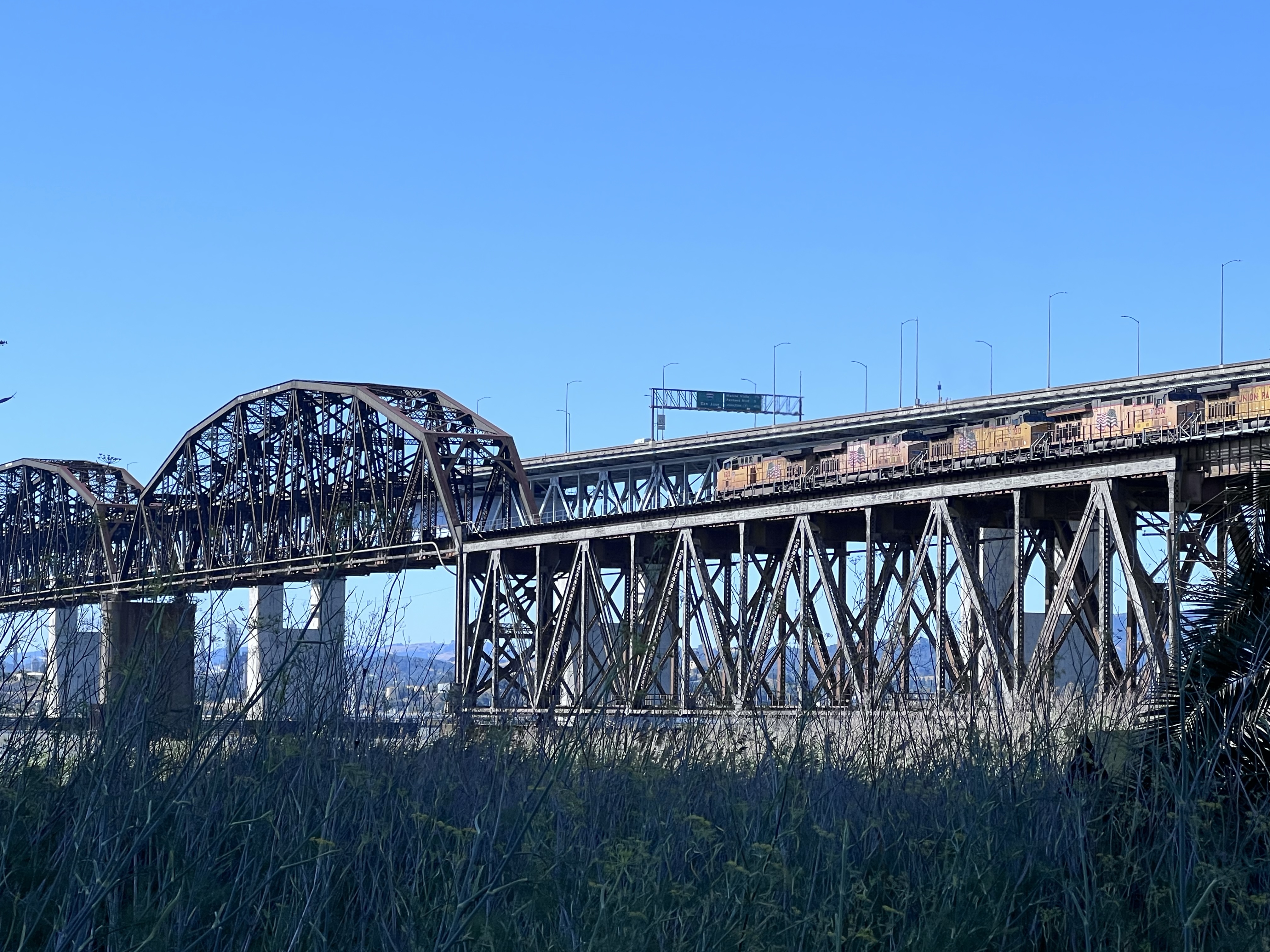
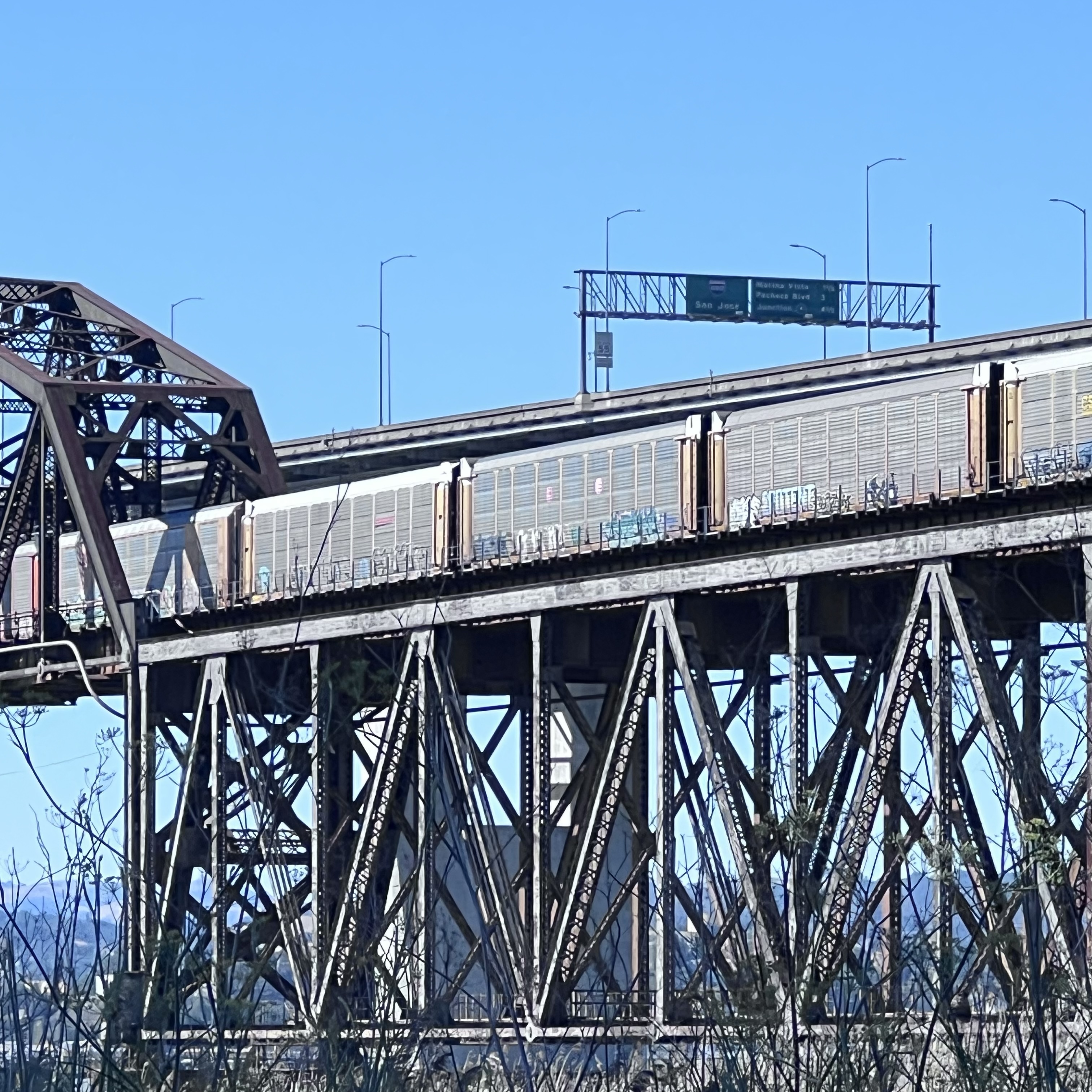
Five locomotives are on point of this Union Pacific westbound mixed consist freight as it comes onto the bridge. This long freight train would take quite a few ferry passages to shuttle across the strait before the bridge was built in 1930. Modern freight trains can be one to two miles long.There were quite a few car carriers on the consist. The area on the Benicia side is new car transfer point.
Foamer at the Bridge
On a Sunday morning I headed up to the northern side of the Benicia- Martinez Railroad Bridge to the vista point, flanked by the two road bridges, to watch some trains transit the historic bridge.
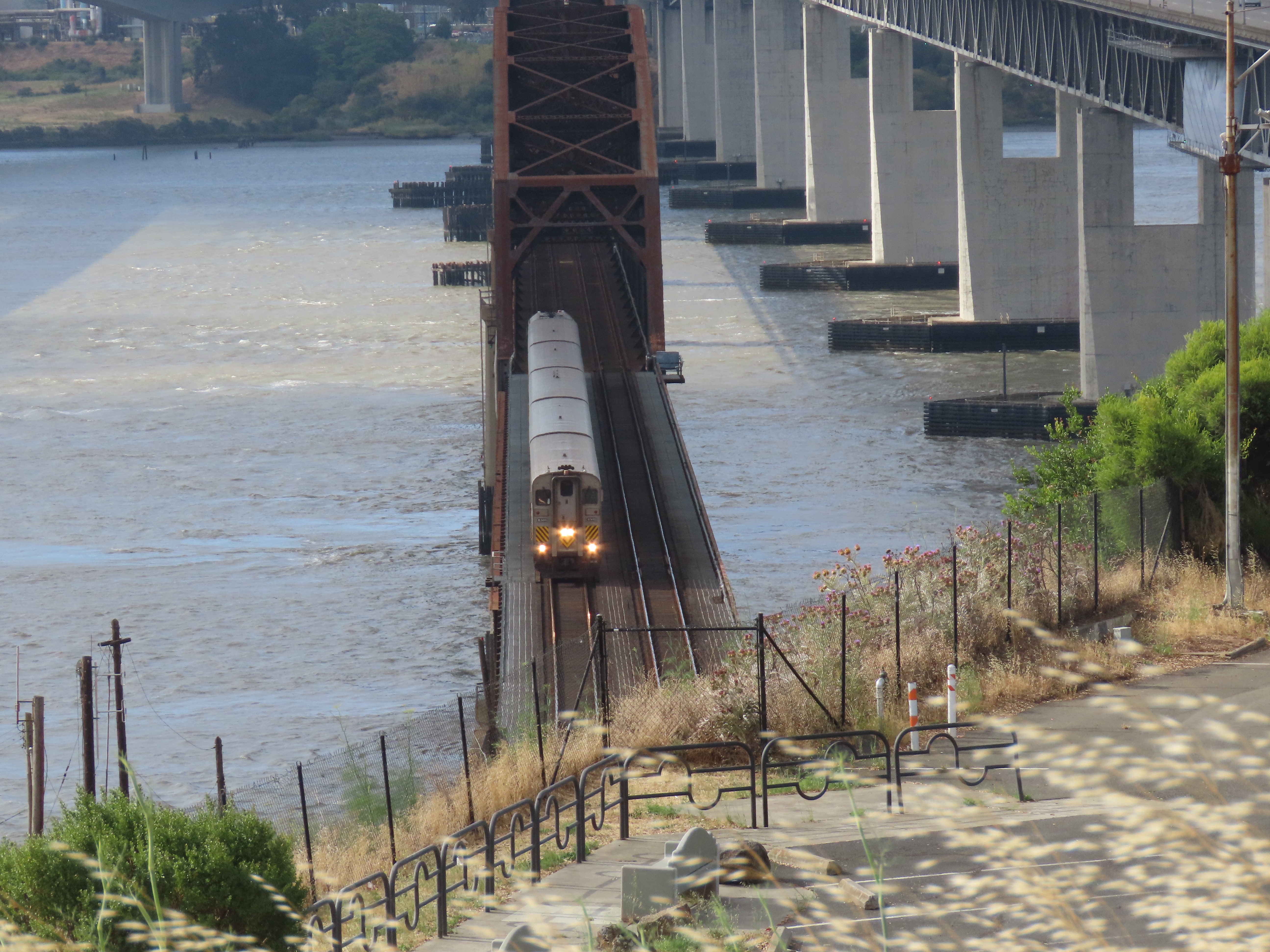
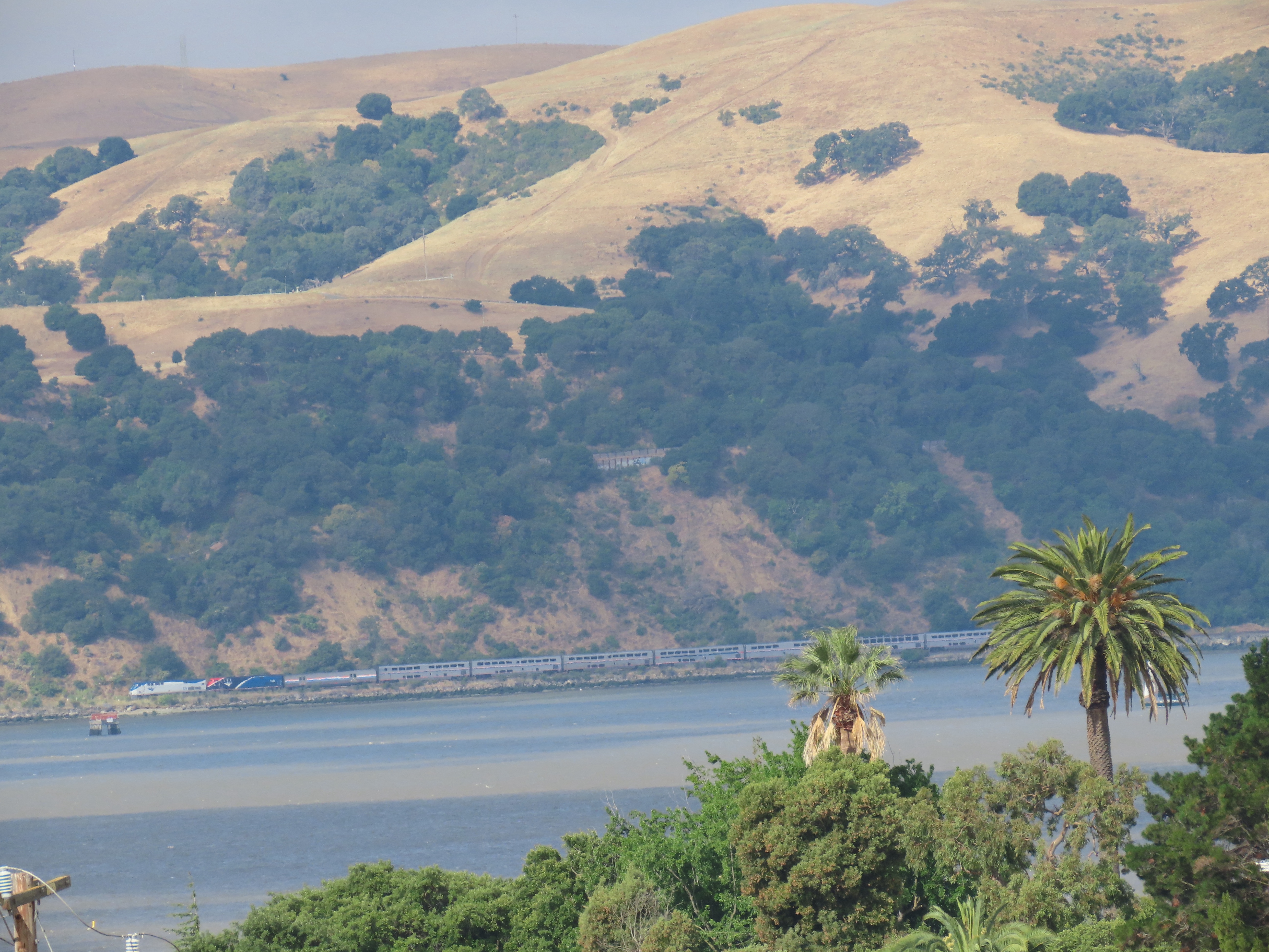
The view southeast from Vista Point. The railroad bridge is in the middle. The newer road bridge (2007) is on the left, the other (1962) is on the right. A northbound Capital Corridor train number 720 crossing the bridge. This trains’s final destination is Sacramento. The good thing about the Vista Point is that you can see northbound trains approaching across the Carquinez Strait like California Zephyr train number 6 running three minutes late. Once the train departs Martinez it will cross the bridge about four minutes later. California Zephyr Number 6 crossing the bridge. Next stop Davis.I have yet to cross the bridge on the Zephyr as I usually board the train further north in Colfax.
The “downtown” of Port Costa is only about a block long. The historic buildings here only hint at the size and importance of the town over 120 years ago.
Standing in front of the massive McNear’s Warehouse you get a sense of the scale of importance of Port Costa.
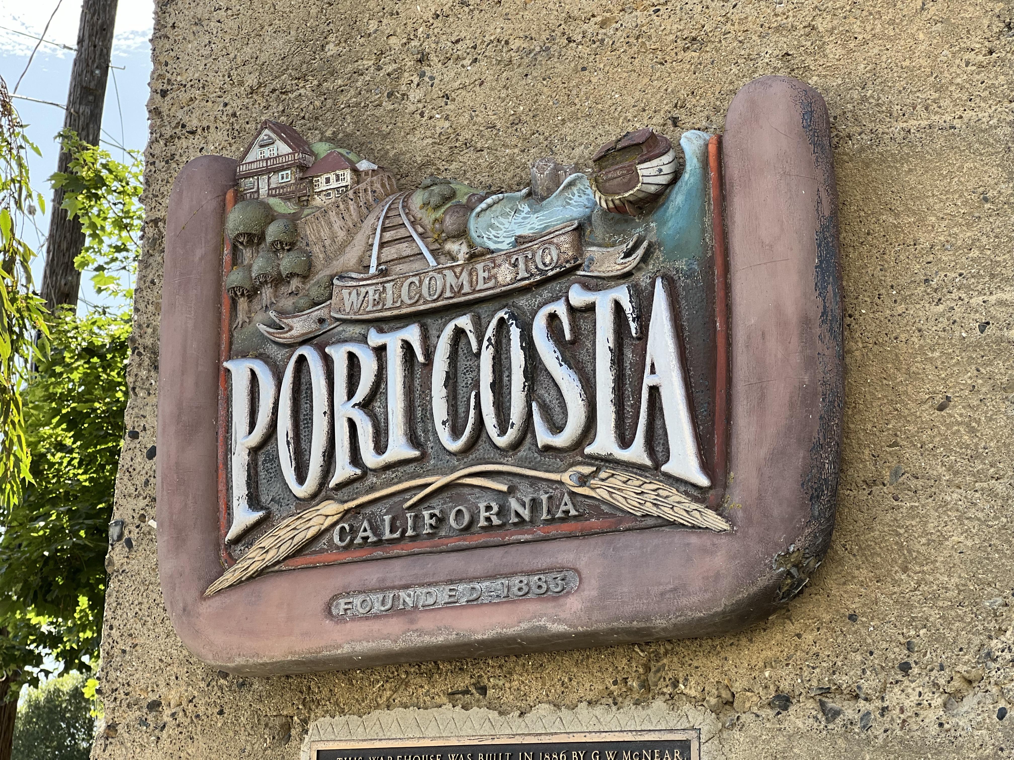
The wonderful sign on McNear’s Warehouse. The railroad is both central to the sign and to the history of Port Costa.
In the distant past, that one block contained a grocery store, a barber shop, a shoemaker, a Wells Fargo office, three hotels, a department store, and eight saloons!
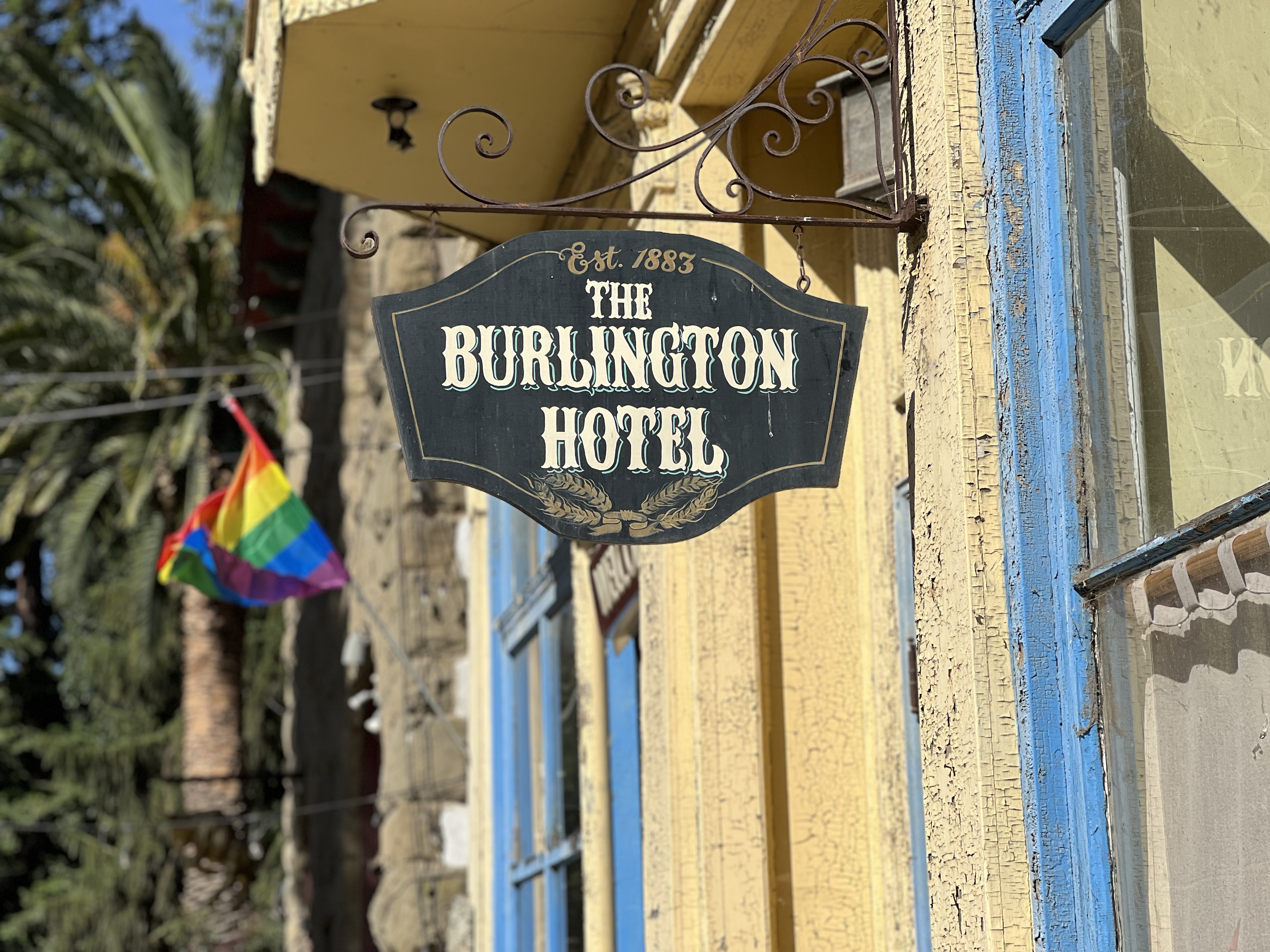
Now Port Costa has only one hotel and I’m not sure it’s open.
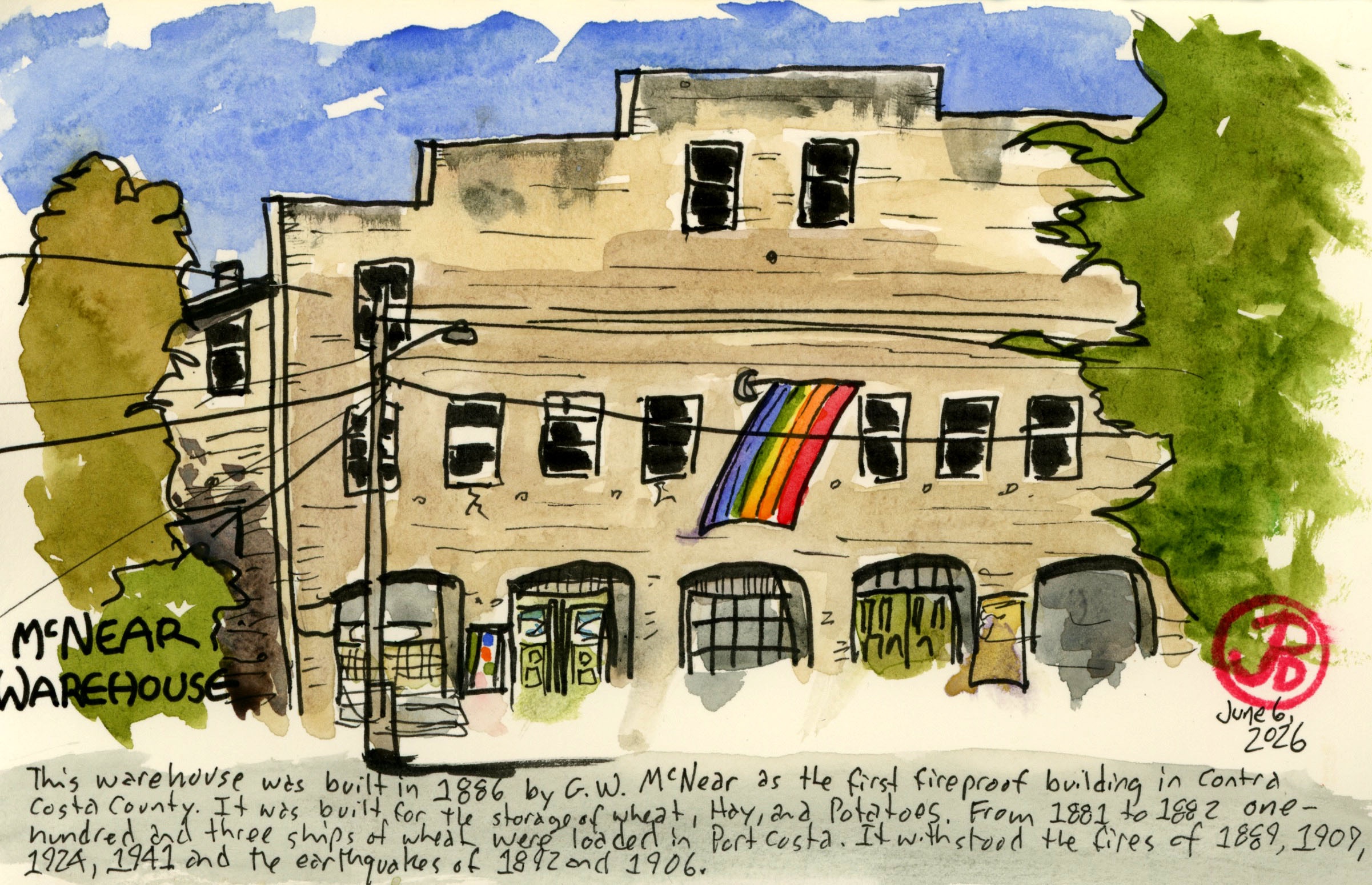
The concrete warehouse was built in 1886 by G. W. McNear. It was the first fireproof building in Contra Costa County having survived the fires of 1889, 1909, 1924, and 1941 (as well as withstanding two major earthquakes). It was built to store wheat, hay, and potatoes.
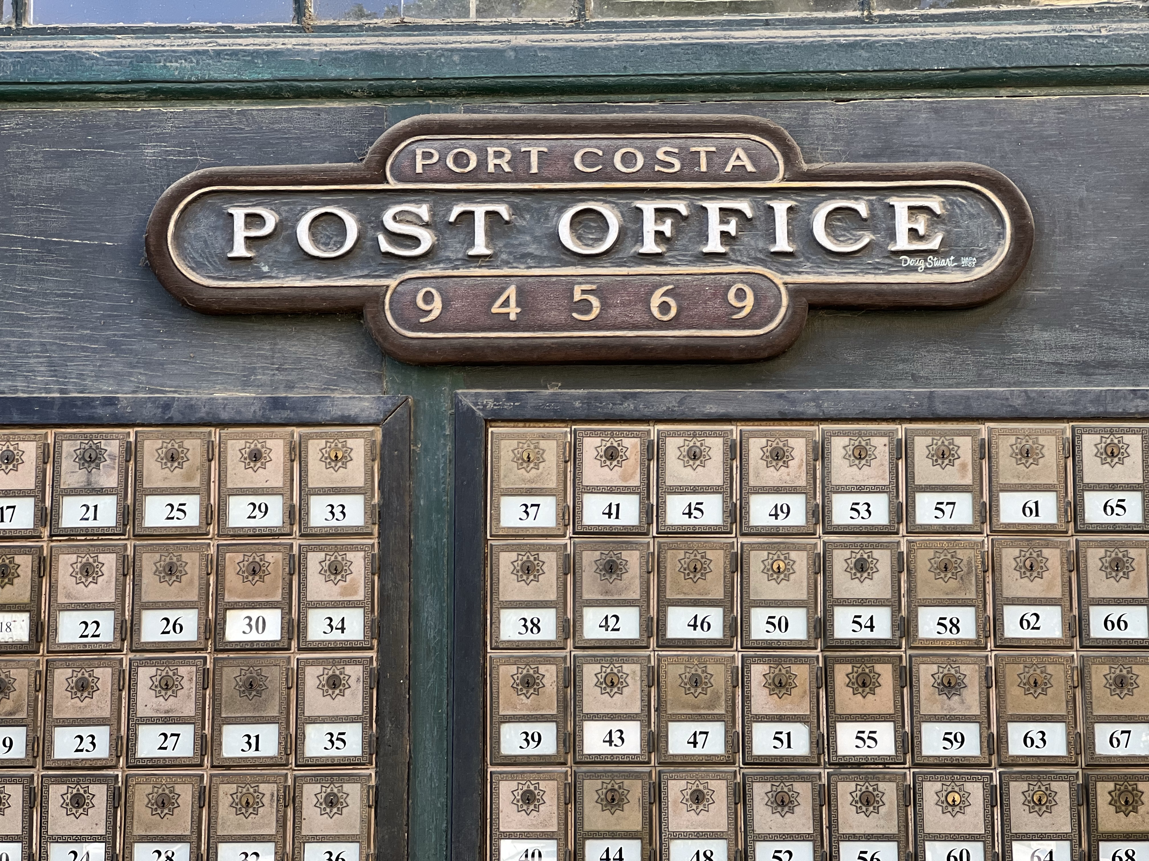
The warehouse now serves many purposes; restaurant, bar, post office, and apartments.
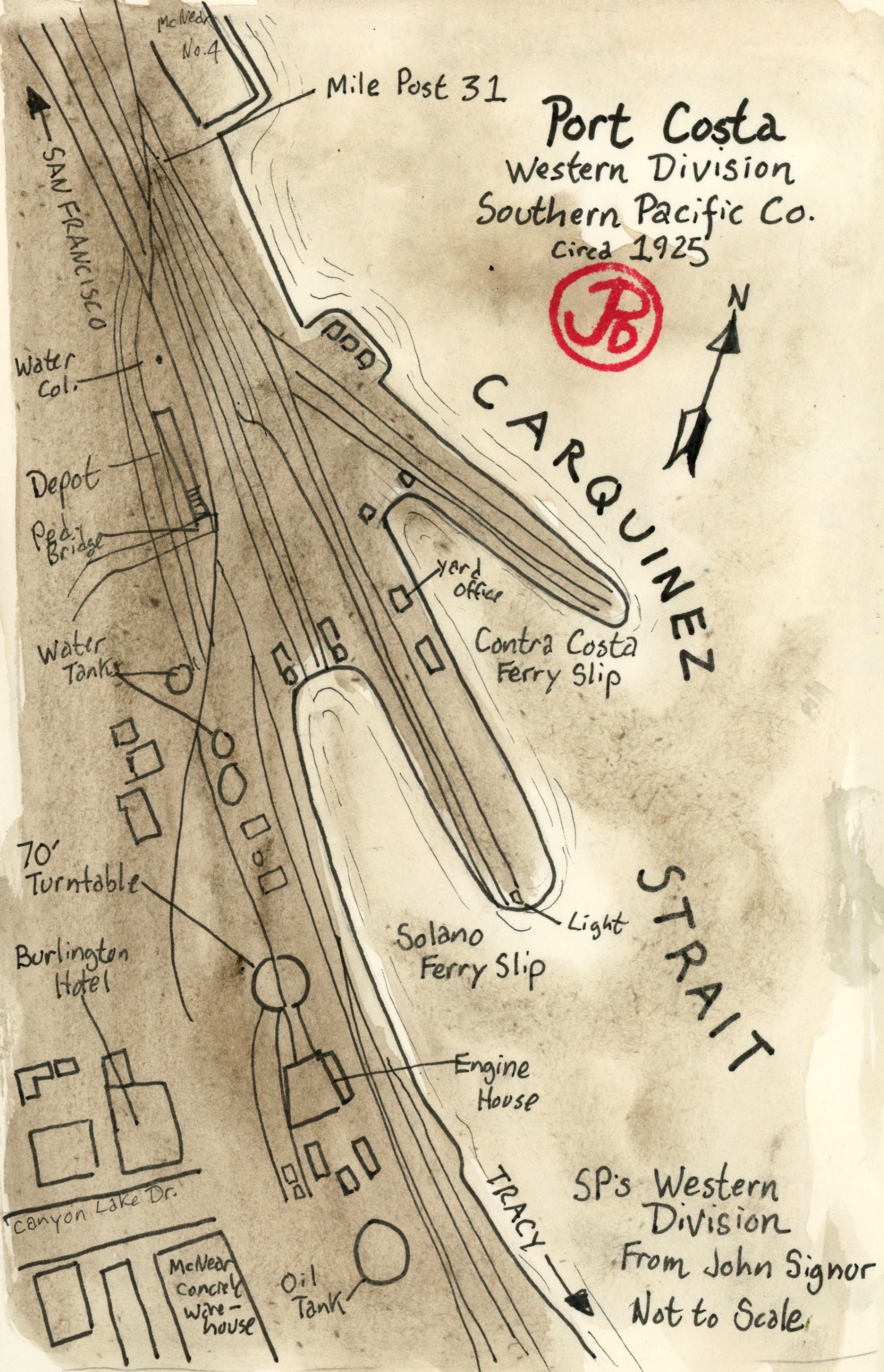
Port Costa was a busy railroad center and port. The railroad facilities included many spur tracks, a 70 foot turntable, an engine house, oil and water tanks, a passenger and freight depot, and many warehouses.
Map of Port Costa circa 1925, based on a John Signor illustration.
What made Port Costa tick was the railroad. At the edge of the Carquinez Strait there were two ferry boat slips where ferry boats loaded and unloaded trains, both passenger and freight, from the 10 minute crossing to Benicia. Because there was no railroad bridges spanning the strait, this was only way to cross and save time and many miles.
The train ferry Solano served for 51 years until the Benicia-Martinez Railroad Bridge was completed in 1930 for Southern Pacific, rendering the ferry obsolete.
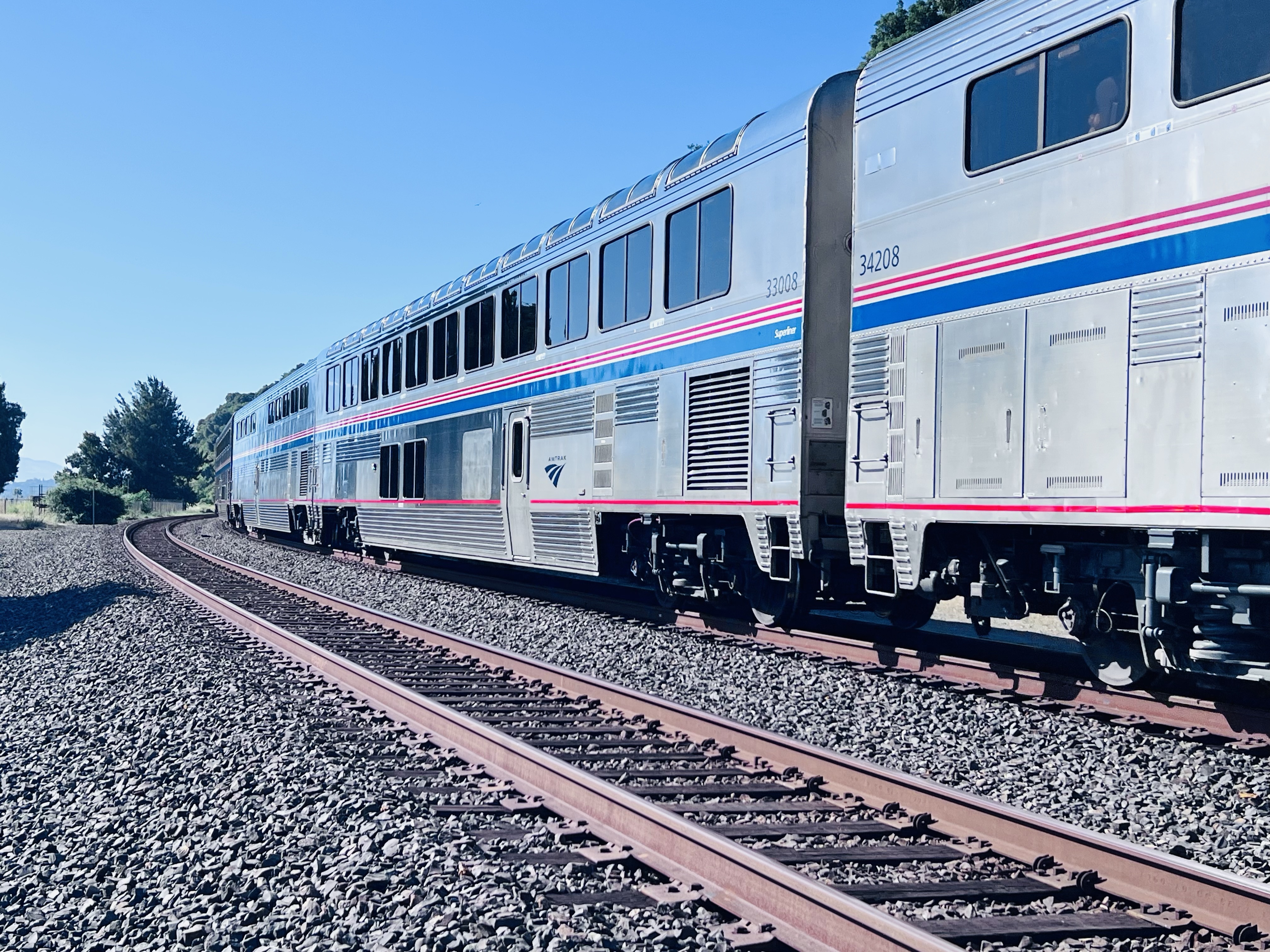
The Chicago bound California Zephyr passing through the former location of the ferry slips on the south side of Carquinez Strait. The train will cross over to the north side just past Martinez on the Benicia-Martinez Railroad Bridge (more about this bridge in the next post).
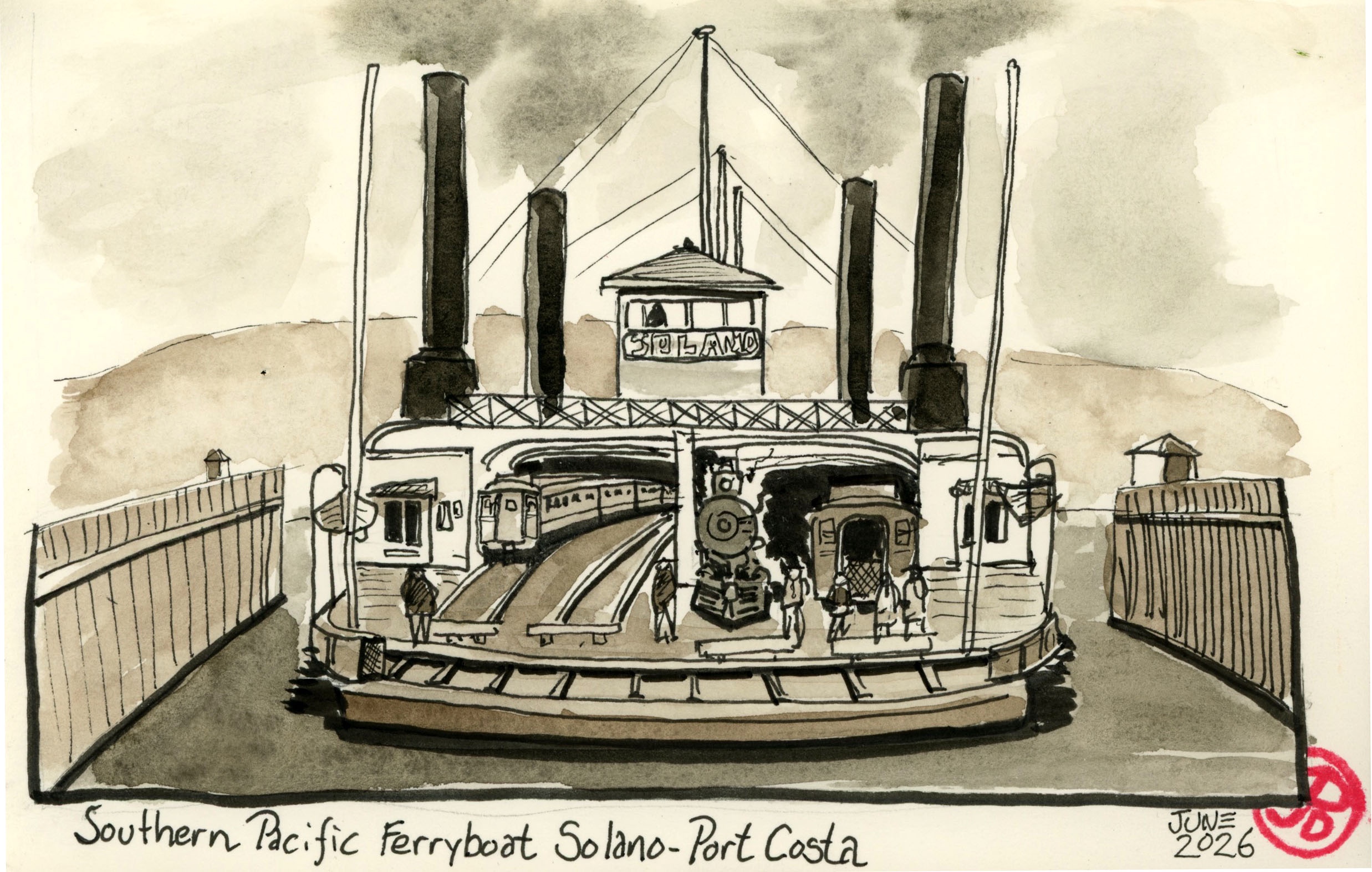
The first train ferry to operated between Benicia and Port Costa was the Solano which was built by the Central Pacific Railroad (later Southern Pacific) in 1879. She was 425 feet long and 116 feet wide. The steam powered side-wheeler was that largest train ferry of its type. It could ferry a 24 car passenger train with its locomotive or a 48 car freight train on the four sets of tracks on the lower deck. In a 24 hour period, the Solano would make 36 to 46 crossings. She was a real workhorse.
Sketched based on a period postcard of the Solano.
The Solano’s last run was on November 1, 1930 and she was decommissioned along with her sister ship the Contra Costa.
There were many steam powered ferries that moved people and freight on the waterways of the Bay Area. Today, very few exist. The Eureka at Hyde Street Pier and the Berkeley in San Diego come to mind. Some were turned into floating hotels and gambling boats but have since burned and been destroyed. Most were scrapped, very few were preserved for posterity.
I was amazing to find out that the Solano still existed! She was not preserved and is a far cry from her proud days as the largest train ferry in the world. She is to be found about 25 miles east of Port Costa in Antioch.
In 1931 the Solano was moved upstream to be used as a breakwater for a marina in Antioch. The hull was sunk where it remains to this day.
Looking at the massive hull it appears to be a verdant island and the only giveaway that it was once a mighty train ferry is a rusted A-shaped structure projecting above the green “island”.
The A-shaped structure is the walking beam of her engine. The second walking beam has fallen over.
The first Saturday morning in June found me trackside in Port Costa sketching some California history.
I parked near the historic McNear’s Warehouse (more about this in another post) and walked west along the double parallel tracks looking for a sketching spot along the beach that spoke to me.
I had to be very aware here because my path is on the main line with a lot of passenger and freight traffic.
After about a five minute walk I found a short path down from the railbed to the shoreline with a nice sketching log to perch on and a great view before me.
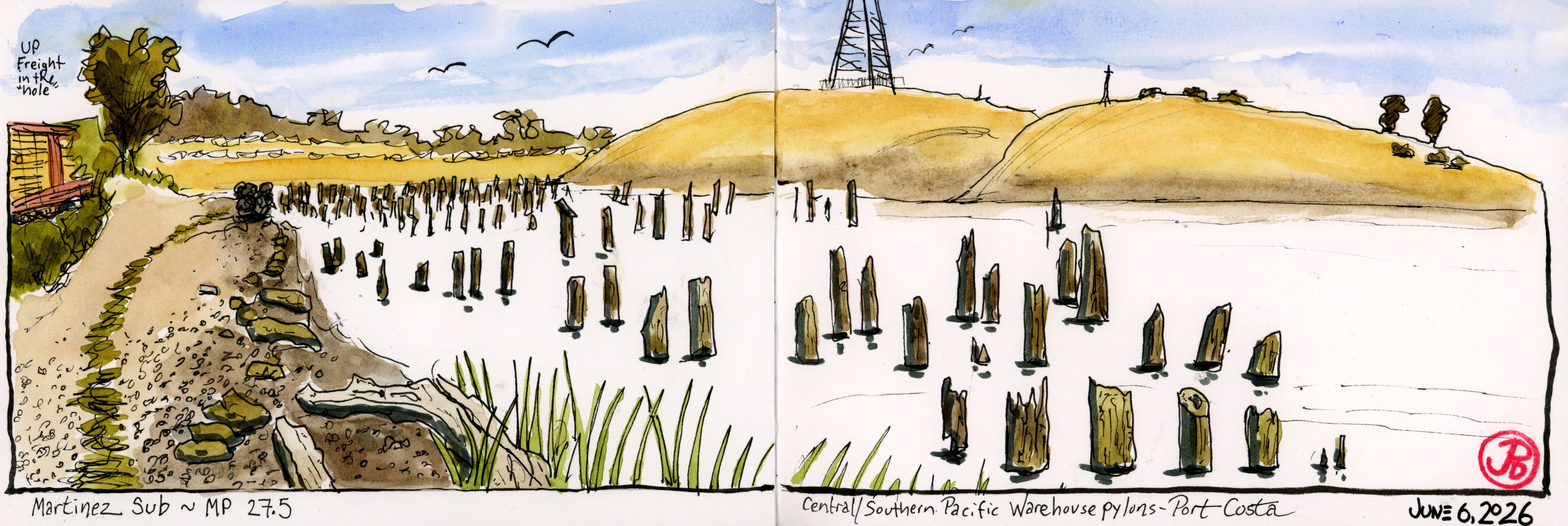
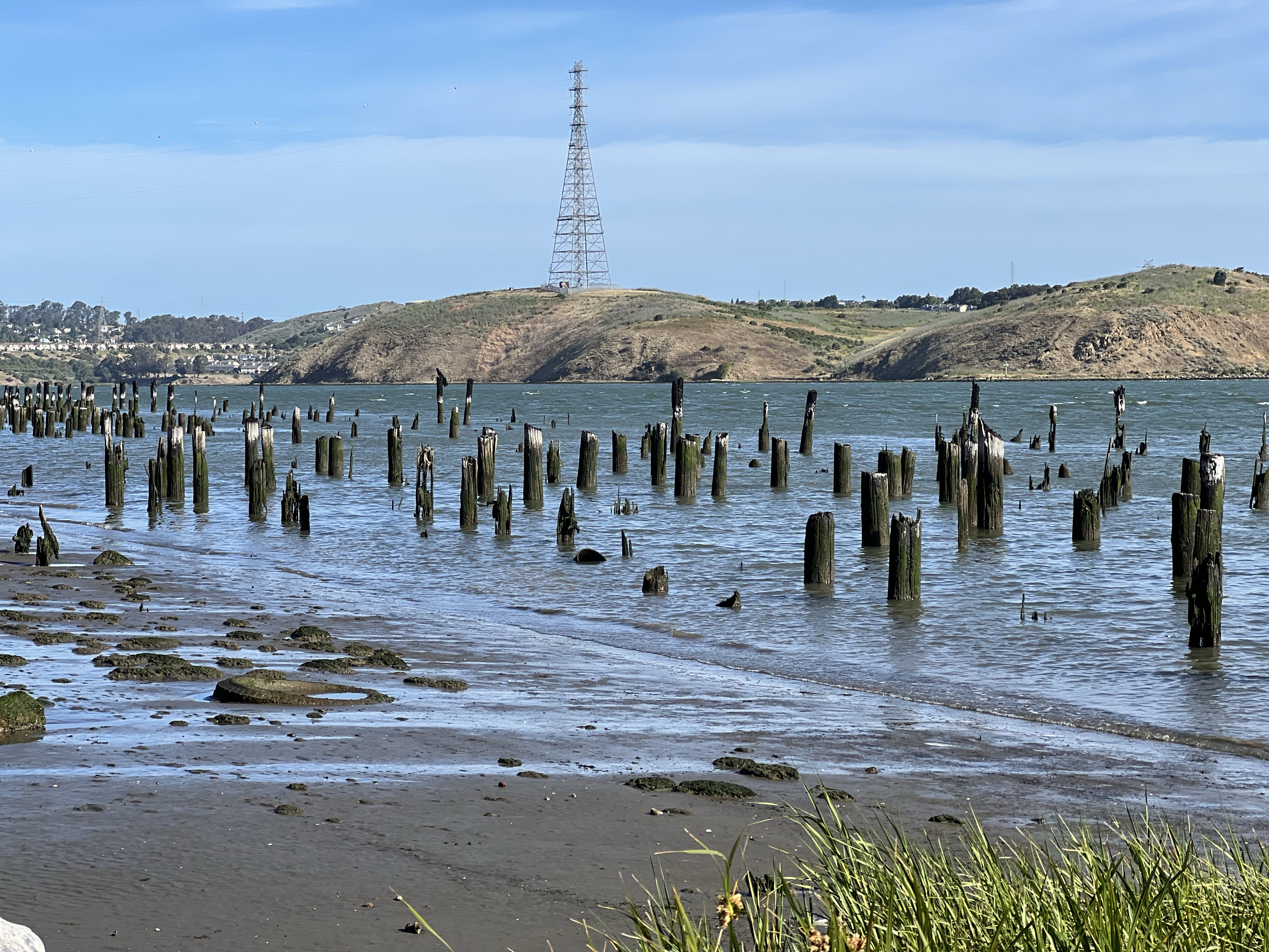
Before me were many wooden pylons breaking above the tide. So what’s the deal with a bunch of sticks?
Bunch of sticks!
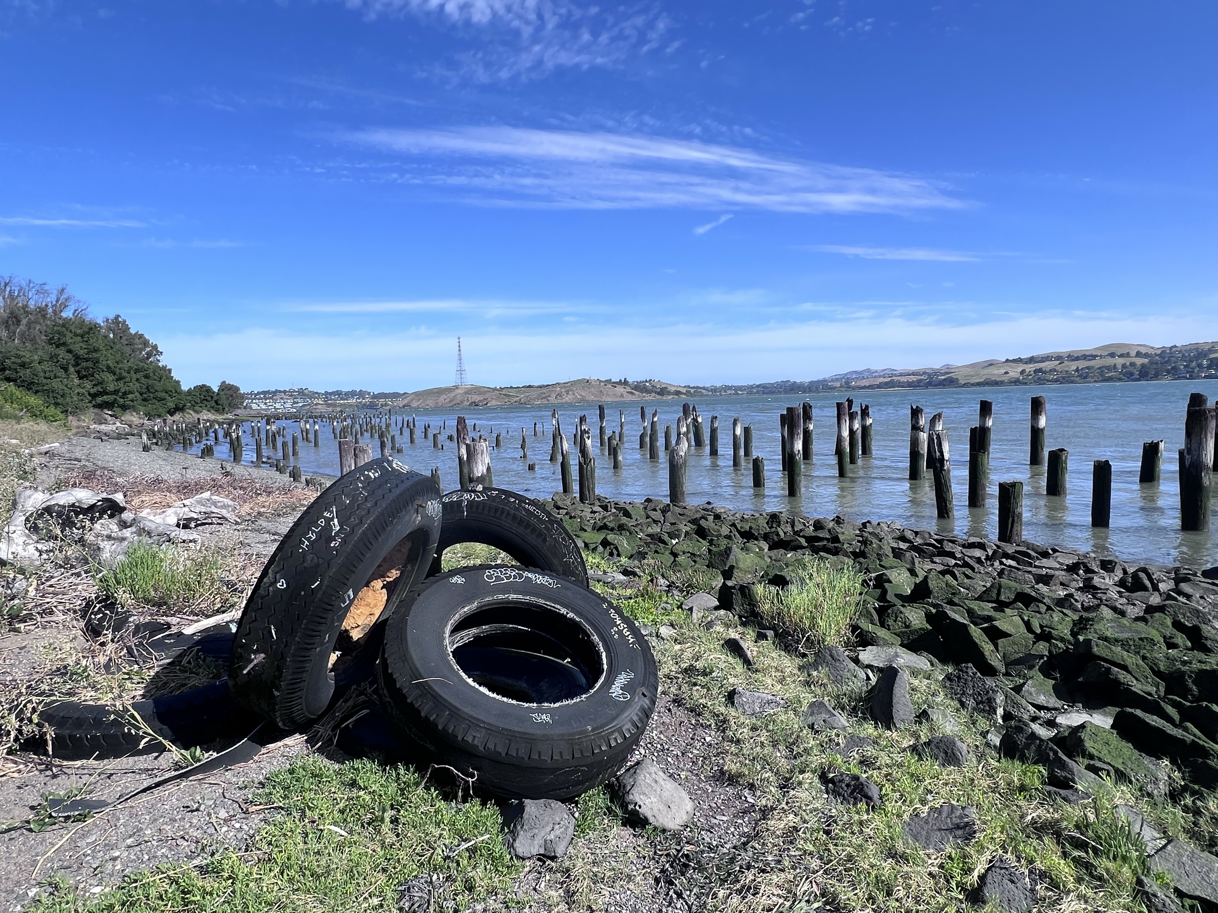
The pylons were what remains of the railroad, storage warehouses, and ferry complex and spoke of a very busy past at Port Costa.
Engineers had a challenge fitting warehouses, ferry slips, and railroad maintenance buildings and tracks into the narrow strip of land between the shoreline and the steep hills on the southern edge of the Carquinez Strait. The solution was to build out into the water.
The pylons are the only evidence of the Central/Southern Pacific Railroad complex.
Of course any chapter of historical wooden structures involve one common element: fire. The complex burned and wood rot took what remained.
Before there where any rail bridges crossing the strait they had to use ferry boats that travelled a mile from Benicia to Port Costa, a trip that took about ten minutes.
Instead of unloading trains of their passengers or freight and reloading them onto boats for the short crossing, the trains themselves were loaded onto train ferry boats (locomotives and all) on four separate tracks.
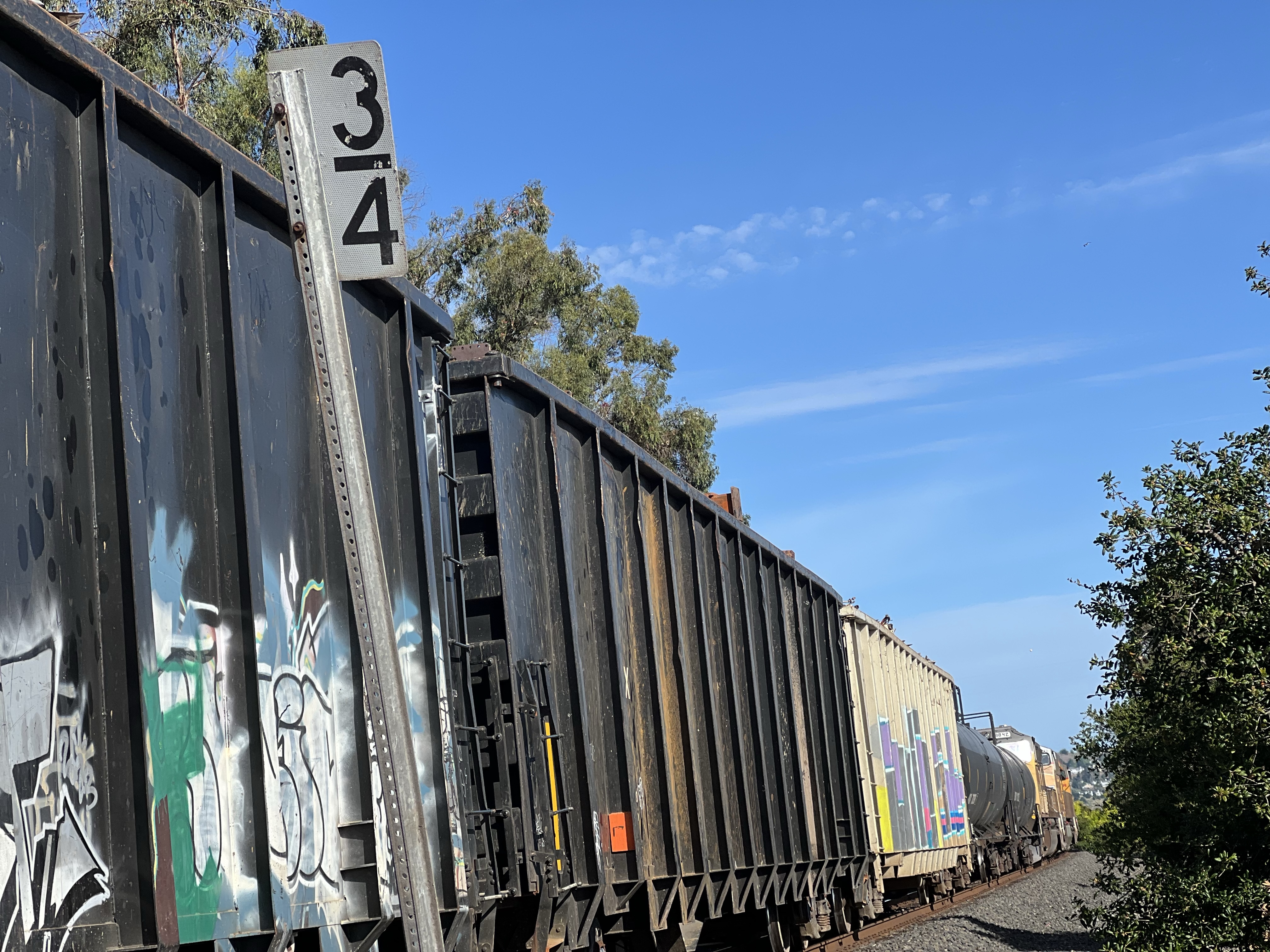
I started my sketch at mile marker 3/4 at 8:15 AM. I was keeping my eyes and ears on the double tracks to my left, especially as the clock approached 9 because the eastbound California Zephyr was due to pass Port Costa at about that time.
From previous posts it’s plain, I love the California Zephyr. I have traveled on the longest AMTRAK route four times and it was always a great experience.
In that 45 minutes, four trains passed (three passenger and one freight). This is a busy part of the high iron!
At 8:30 a mixed consist freight pulled into the “hole” to let two Capital Corridors pass.
A westbound freight waiting at mile post 3/4 for two passenger trains to pass.
The freight was stopped long enough for me to climb aboard and there were a few good rides on the consist but I resisted the urge to abandon teaching to take up the hobo life.
After the passenger trains passed, the UP freight got the high ball and the hiss of the brakes being released told me that the freight was about to move. The cars creaked to life and the train took up slack and resumed its westward journey.
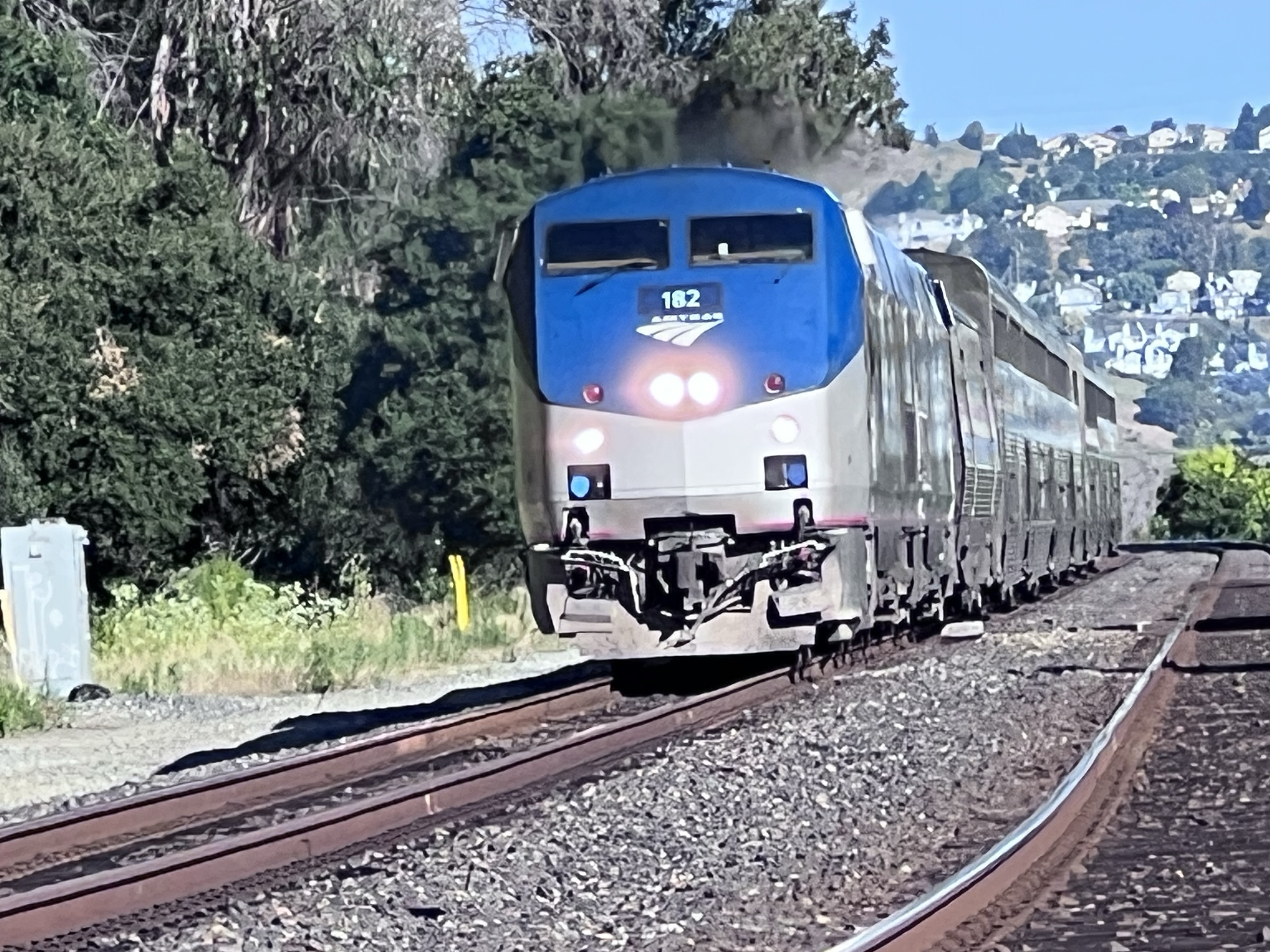
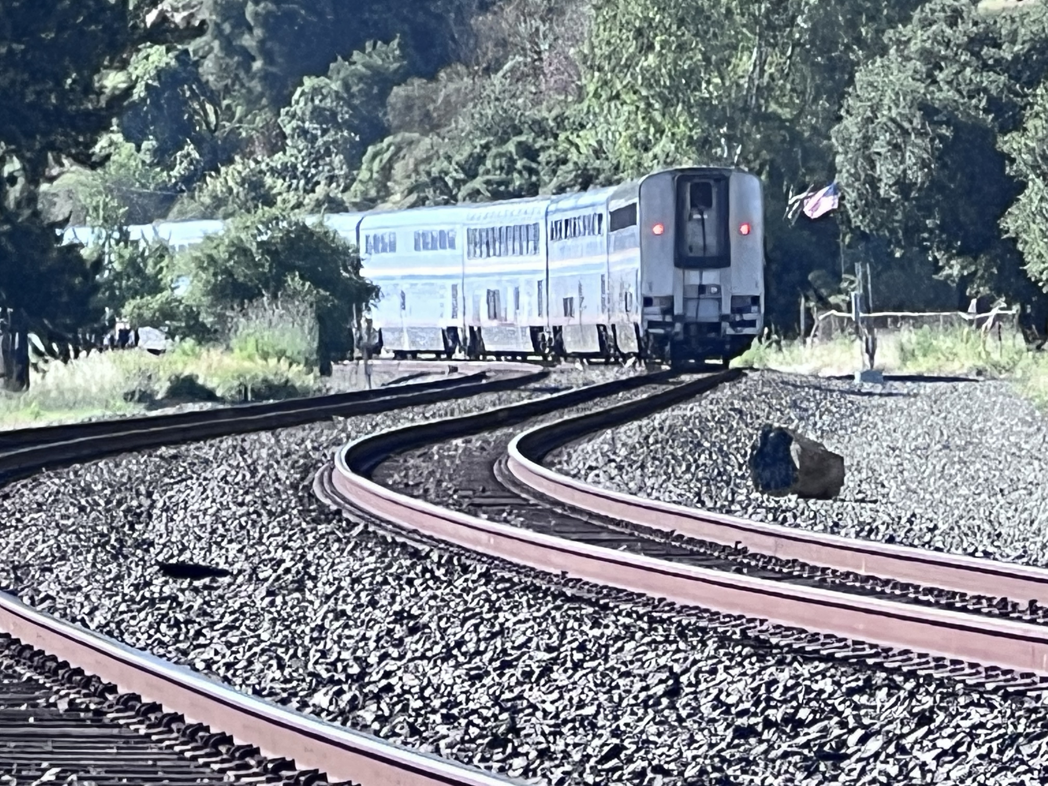
California Zephyr Train No. 6 passing the remains of the train and ferry complex at Port Costa. Final destination, Chicago, Illinois. Just to the right of the end of the Zephyr is the town of Port Costa. More about this historic town in my next post.
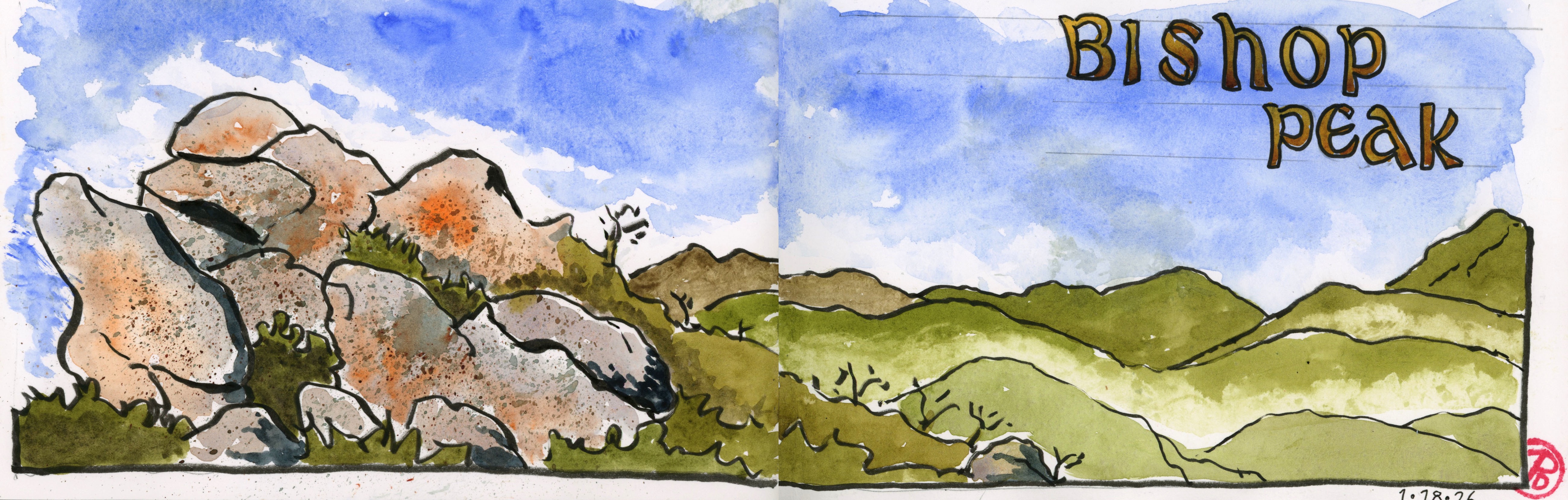
One SLO goal on my three day weekend visit was to summit Bishop Peak, and at 1,546 feet tall, it’s the tallest of the Nine Sisters.
The Nine Sisters, aka the Morros, are volcanic peaks stretching from Morro Bay to San Luis Obispo. Bishop Peak, named after the shape of the summit rocks, is a much sought after destination for hikers and climbers.
With forecasts for the day in the high 70s, I got an early start, hitting the trailhead at Highland Drive at 7:30 AM.
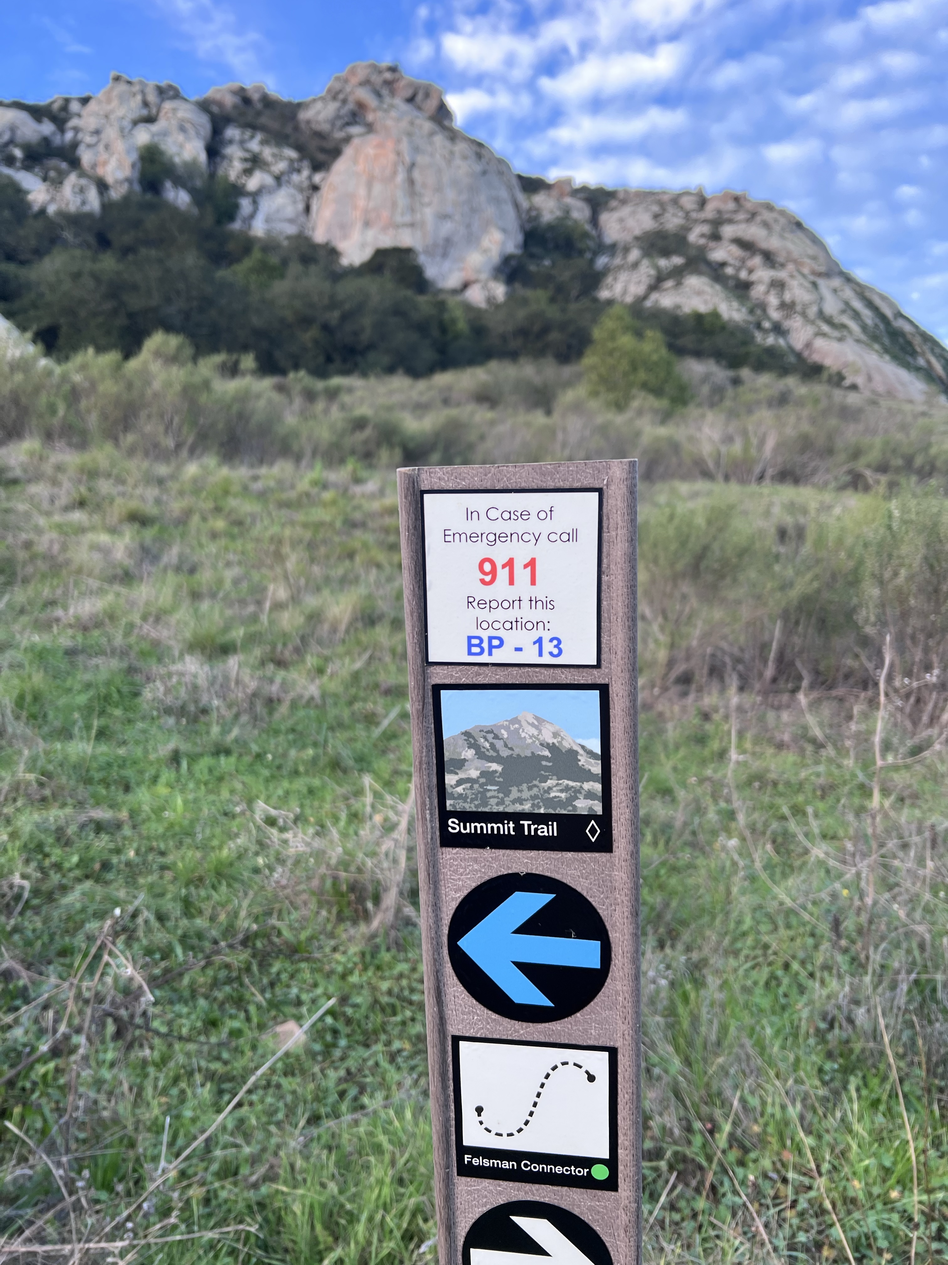
The trail marker lists the Summit Trail as a black diamond. This is not for the weak kneed and out of shape (which could describe me). I duly noted the 911 sign, giving me my location.
One change in my fairly recent hiking gear is trekking poles. I once ridiculed them as useless pieces of hiking chic. But as I grew older I now see them as an essential part of my hiking get up, so much so that I keep a pair in the trunk of my car at all times. They give me more points of contact, improve balance, and take pressure off the knees. And in a pinch I recommend they could fend off a mountain lion or bear. All of which is very necessary on the over 1,200 feet elevation gain thought uneven boulder terrain that is the Summit hike.
The first part of the hike led me to the base of the peak, past a cattle pond. At the top I could see a few hikers that had already summited. They must have gotten a much earlier start and hiked under headlamps. Cal Poly student no doubt.
I passed a climbing wall to my right and my climb to the peak really began in earnest when I reached the first of many switchbacks.
The first of many switchbacks to the summit.
There was a dad with his two teenage sons who passed me. They had far less gear and no trekking poles!! I used them as a pacer, a reminder of my much slower pace, as I saw them on the switchbacks above mine. I would see their heads always moving forward above the chaparral. They were getting farther and farther ahead.
I soon started passing hikers coming down from the summit who had gone up to watch the sunrise. They had far less gear, water, and some were not even wearing hiking shoes. One group of girls had forgotten their headlamps so they had to use their phone light instead. Ah youth!
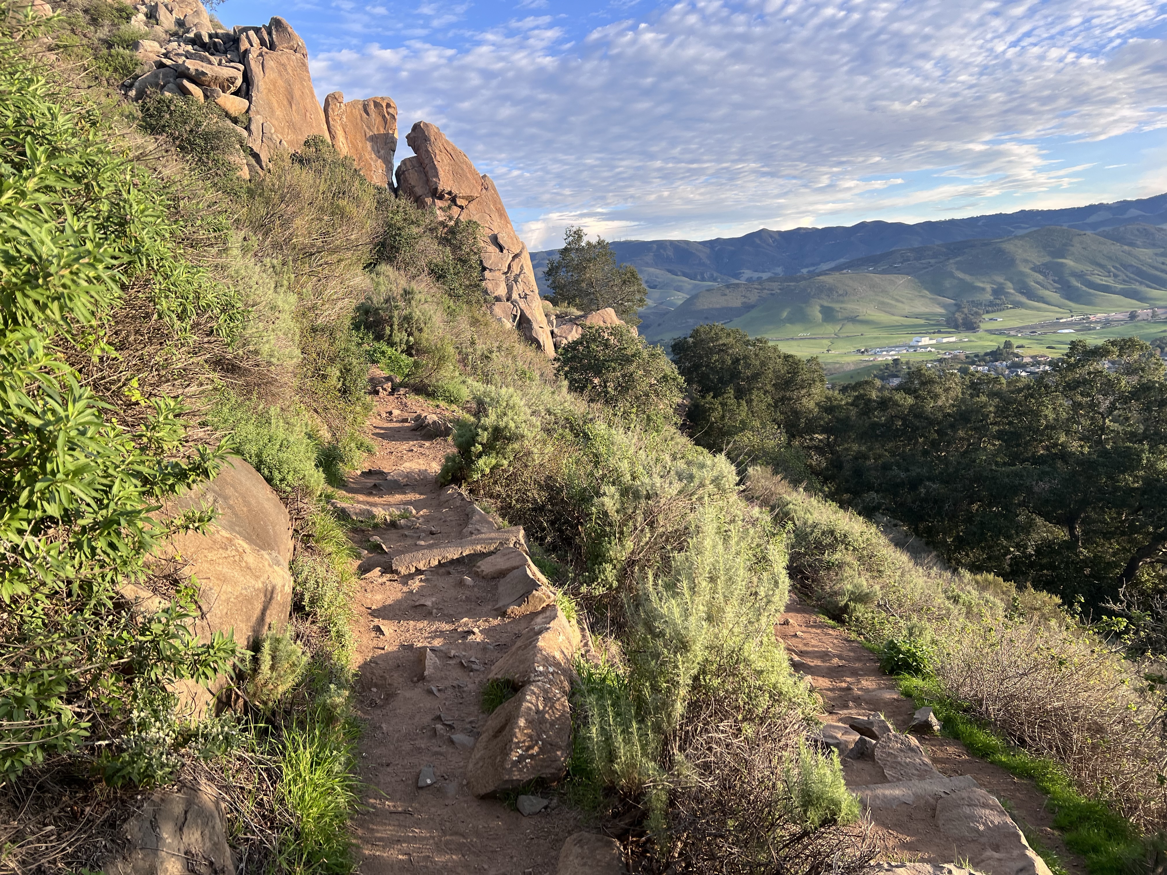
I was glad to have full sunlight and the views kept getting better and better the higher I climbed.
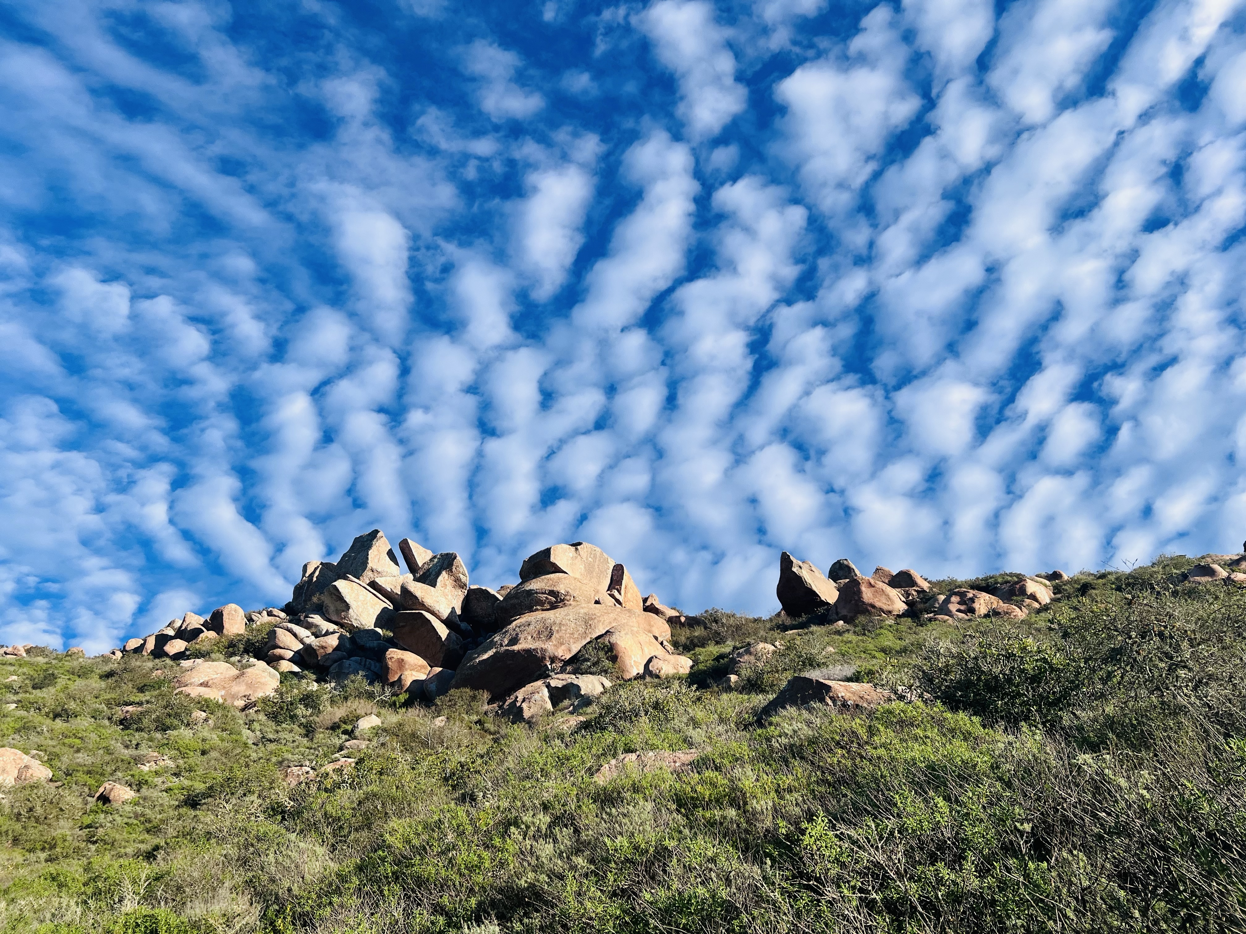
After hiking an hour, I could see the reddish rocks of the summit. The rocks that give the peak it’s name.
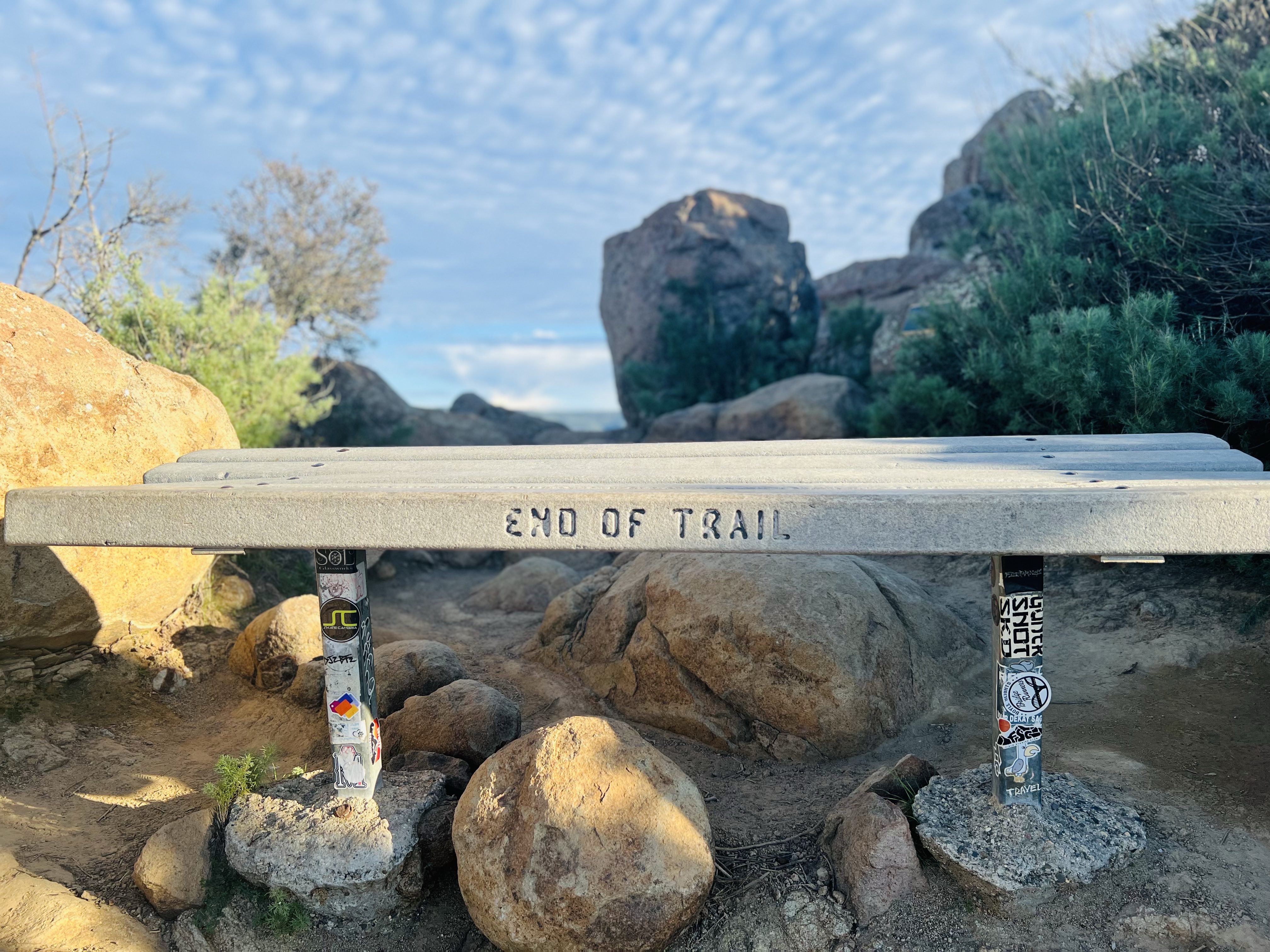
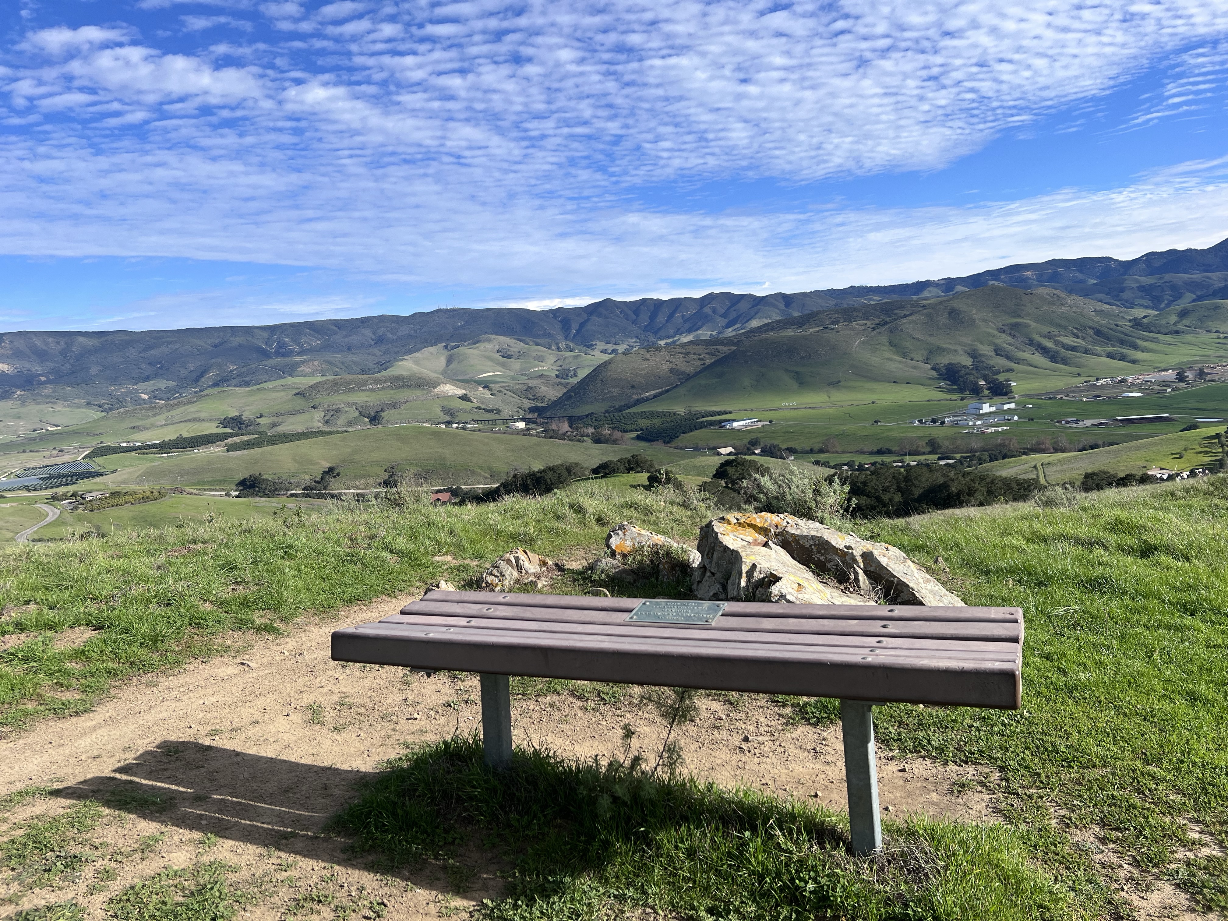
As I got closer to the summit there seemed to be a few false summits and the trail branched off in different directions, hemmed in by brush. One final scramble and I was greeted by a much appreciated bench. It was 8:35 and I had reached the top!
The much appreciated “End of Trail” bench at the summit.
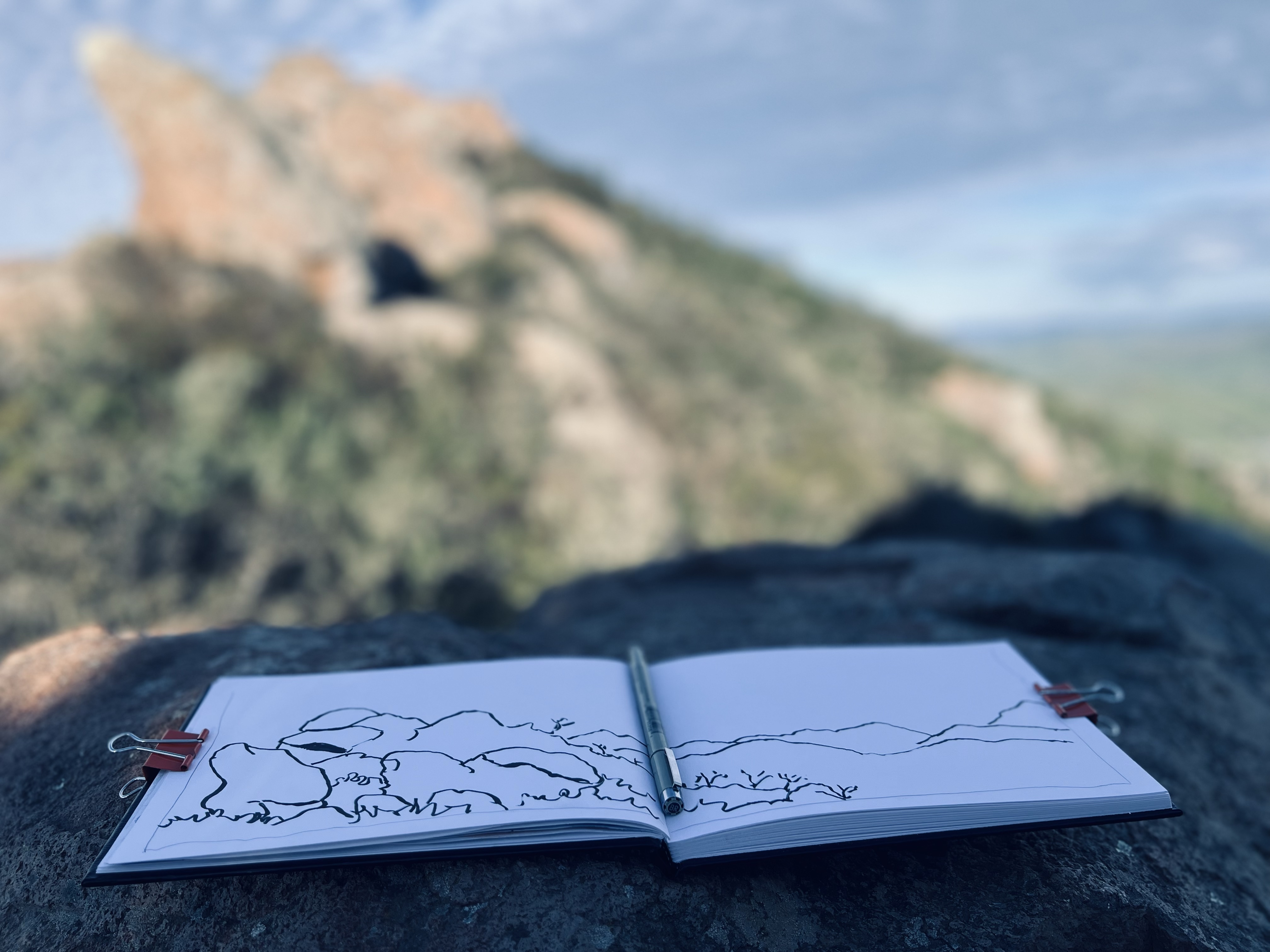
I drank some water, had some trail mix, and unpacked my panoramic sketchbook. It was sketch time.
After my sketch, it was time to descend, which I figured would be much easier than the climb up. It was five minutes to nine.
On my way down I passed about 30 people on their way up, including two large families with toddlers. The summit was soon to be one crowded place. Another great reason for an early start.
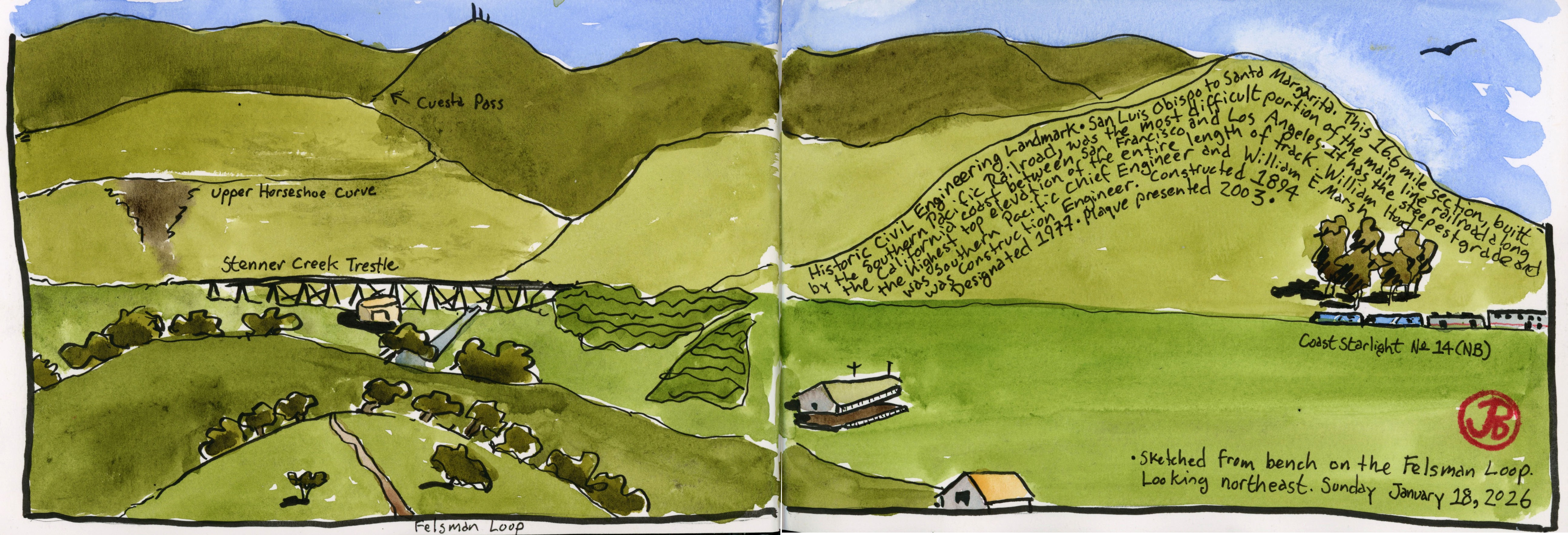
At the end of my descent, I turned left at the cattle pond and walked out on the Felsman Loop Trail toward a sketching bench.
The view before me was an acknowledged Historic Civil Engineering Landmark, the 16.6 mile portion of railroad that climbs the Cuesta Grade and the series of tunnels near the summit. From my vantage point, Stenner Creek Trestle was before me and the line snakes around in the famous Horseshoe Curve.
I sketched the beautiful green Californian curvaceous hills. This was a great time to be here!
Early on a Monday morning I drove to Historic Highway 40, around Donner Summit, to do some sketching.
I love this highway corridor, it’s full of deep California history (native, pioneer, railroad, and highway) as well as personal family history. My parents met at the South Bay Ski Club whose cabin is on Highway 40 near Soda Springs. Without this ski club I would not have come into being.
Historic indeed, there is so much depth of history here.
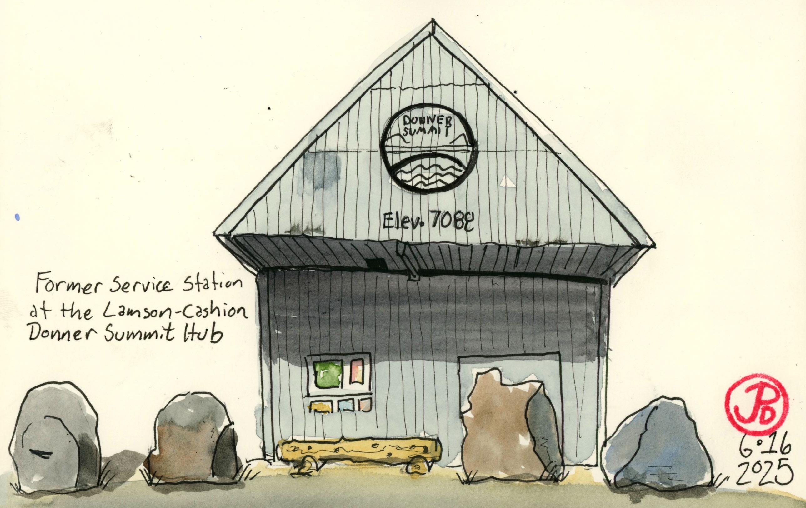
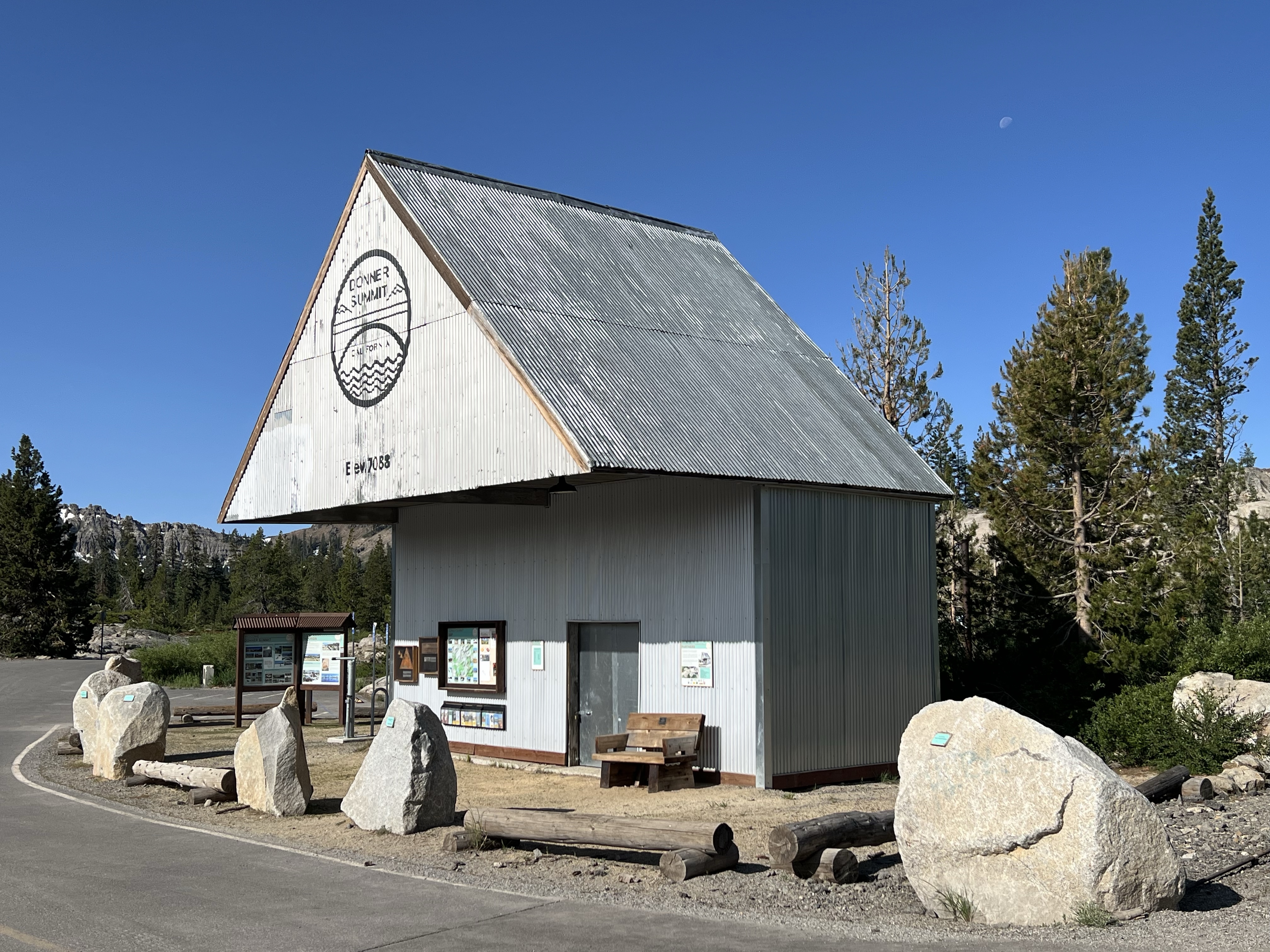
At the summit I sketched a former gas station. The station was used to fuel highway snow clearing equipment used to keep the highway open in the winter.
The Lamson Cashion Donner Summit Hub is where a lot of the threads of Donner Pass come together (hence the name). Just a short list of the points of interest in this general area are: the petroglyphs, Pacific Crest Trail, the Donner Summit Bridge (the Rainbow Bridge), west entrance of Summit Tunnel 6, central shaft of Tunnel 6, and the Donner Summit Trail.
The repurposed gas station is now an information center at the Lamson Cashion Donner Summit Hub.
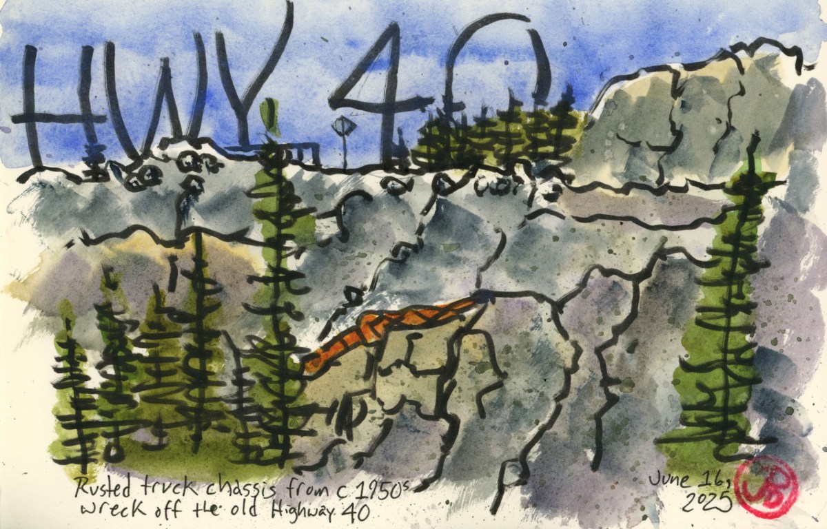
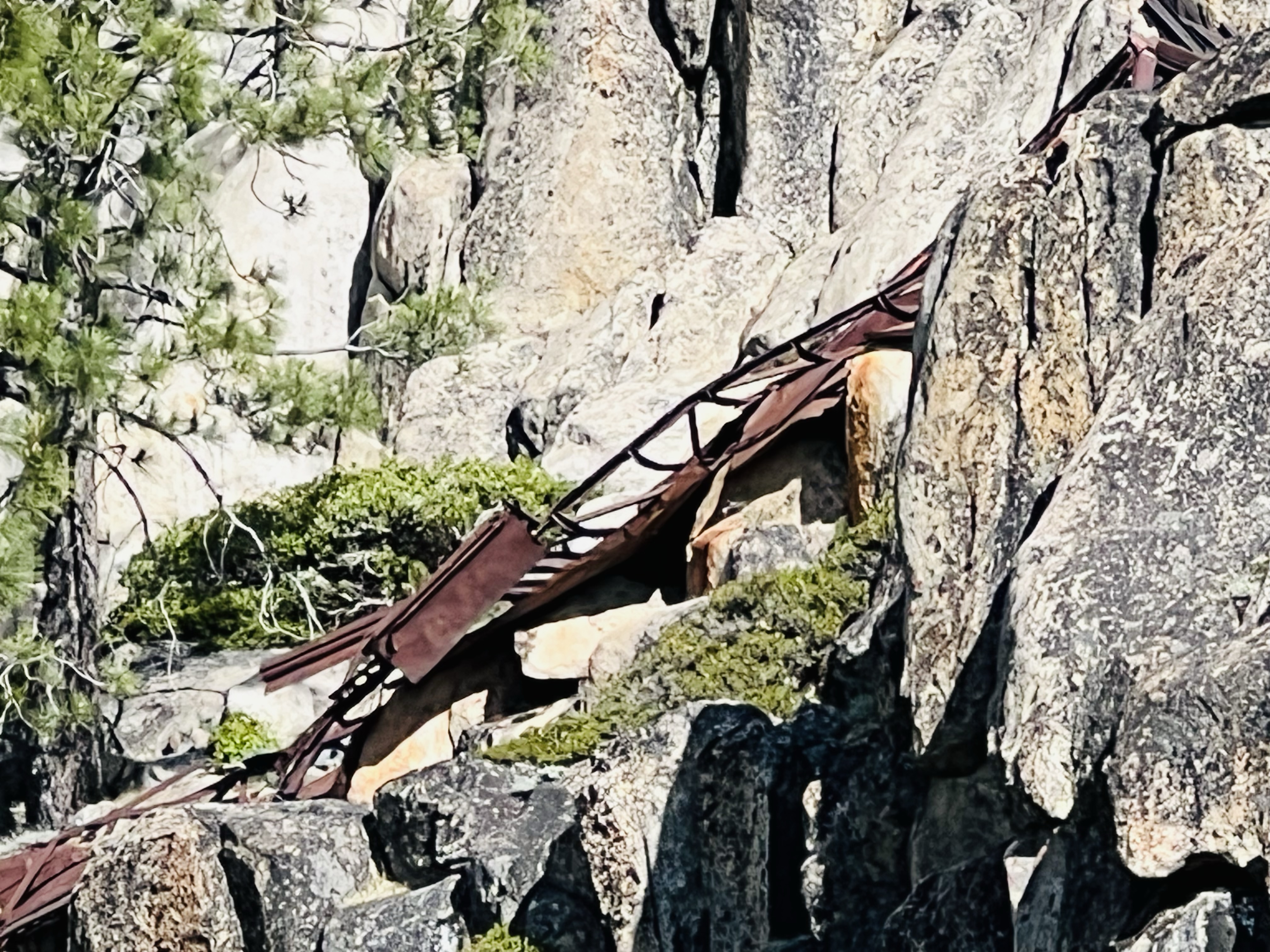
I then headed down the pass and over the famed “Rainbow Bridge”. I was keeping my eyes (at least one eye) to my left, searching for the mass of rusted metal that has been here for about 75 years. There it was.
My father always pointed out this ominous artifact when we would summer here on the shores of Donner Lake. We were historic rubberneckers.
There it is, rusted and compacted by heavy snow loads for almost 75 years.
Highway 40, east of Donner Summit is treacherous, as the Donner Party found out when they attempted to scale the pass in 1846. It is also treacherous for auto traffic on the winding, wet, and icy roadbed while heading down grade.
The wreck that my father pointed out is the truck chassis that went over the roadway and settled on a granite shelf sometime in the 1950s. There is not a lot of information about the truck, just that it’s not the “Turkey Truck”. That’s a story for a different post!
I pulled over and found a boulder seat to sketch from using a brush pen to keep it loose and sketchy to the soundtrack of the cooling winds through the pine branches and a male Wilson’s warbler emphatically singing from those branches. I was in Sierra heaven (featured sketch).
After sketching I headed down 40 towards Donner Lake and the Southern Pacific Railroad historic town of Truckee.
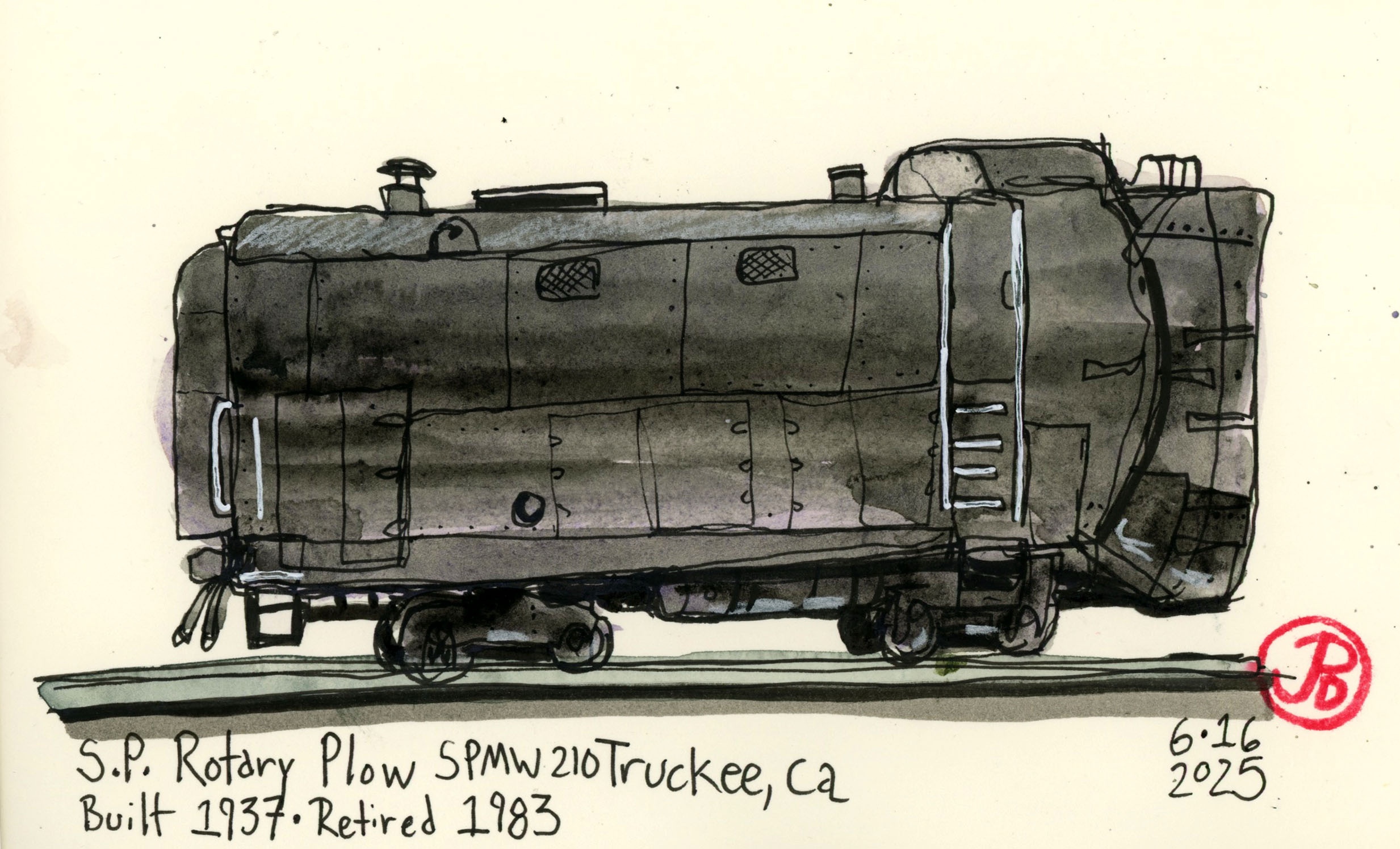
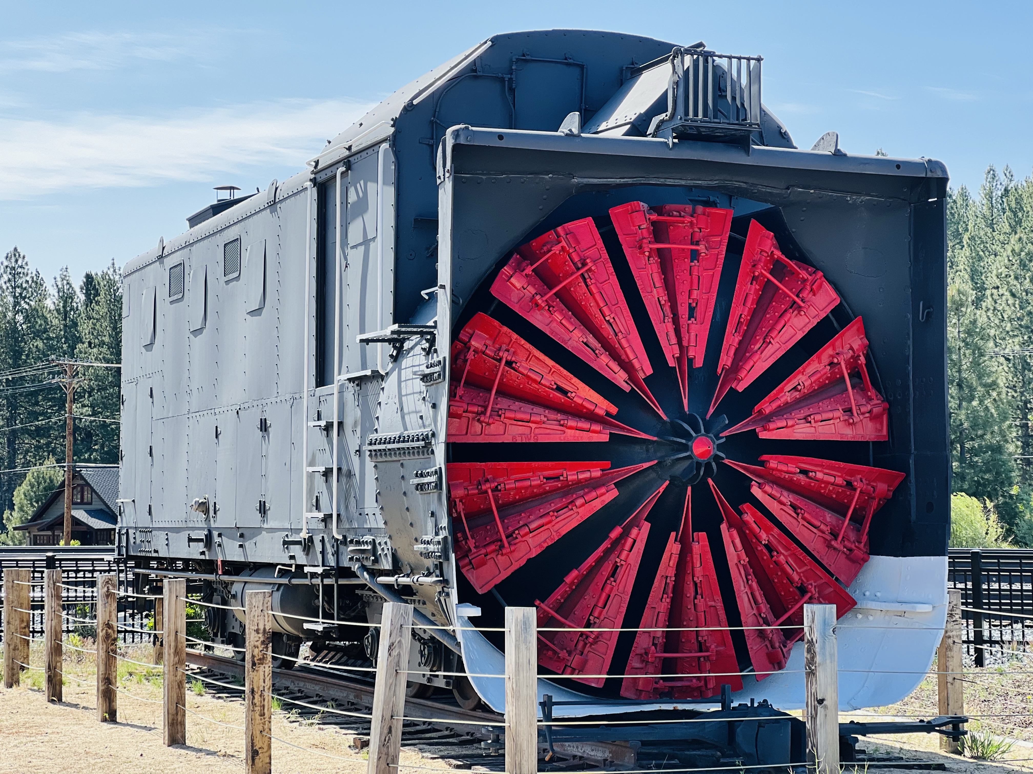
Aside from SP’s iconic cab forward locomotives, no other piece of railroad equipment is as renowned as the rotary snowplow for conquering the grades and gales of Donner Summit.
The rotary plow kept the line open in the deepest winters. And the California State Railroad Museum donated Southern Pacific’s SPMW 210. This historic piece of rail equipment now is on static display alongside the tracks it once kept open in the winter time.
This monster could cut through heavy snow. I usually sketch these plows head on but I decided on a different perspective.
While I have sketched these plows many times before, I decided to try from a different angle with a broken continuous-line sketch.
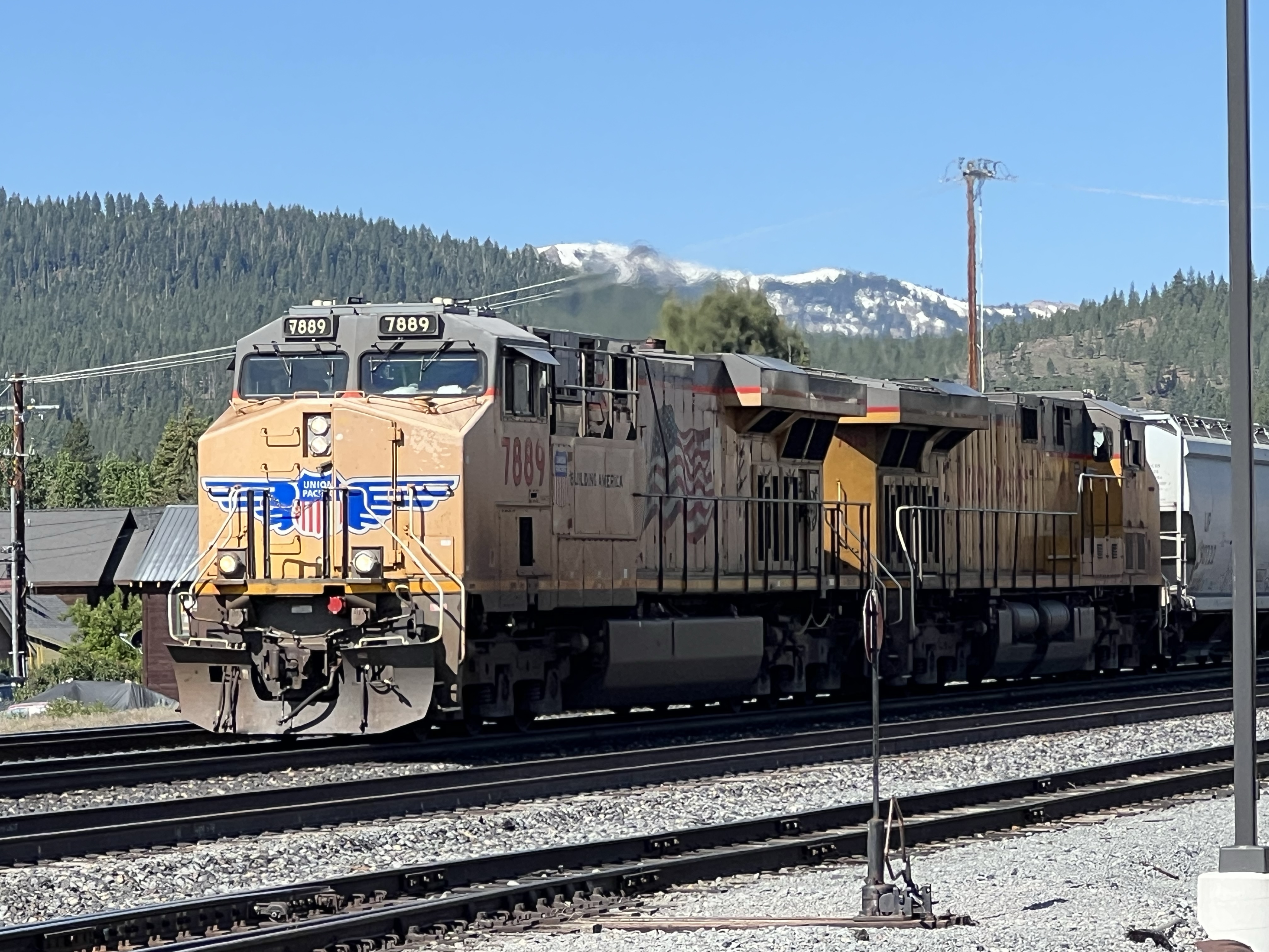
A reminder, courtesy of Union Pacific, that Truckee still remains a rail town. The eastbound freight was an empty covered hopper consist. How do I know it’s empty? Motive power. Only two locomotives on point and one at the end. If the consist was fully loaded, they would need more motive power to travel over Donner Summit.
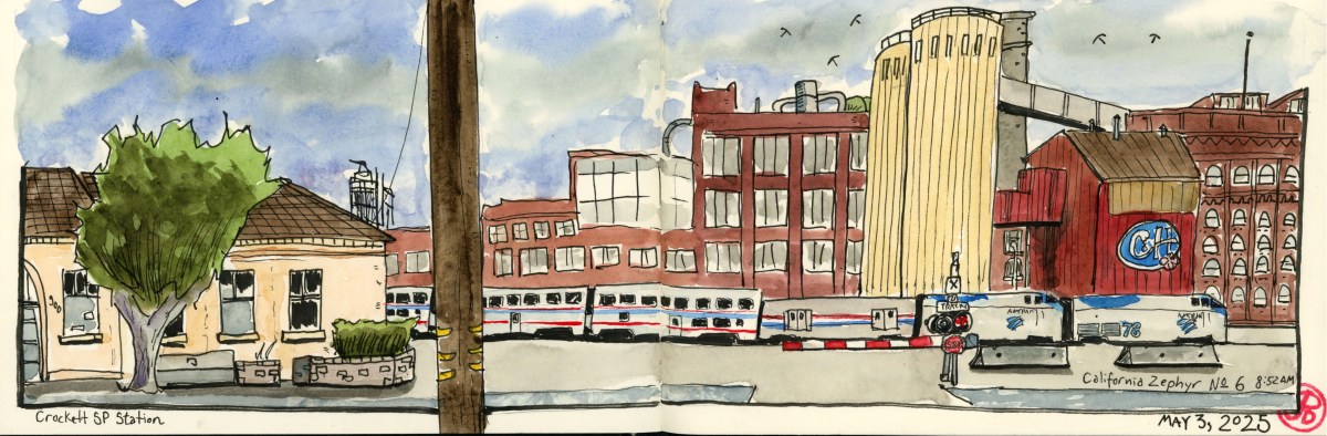
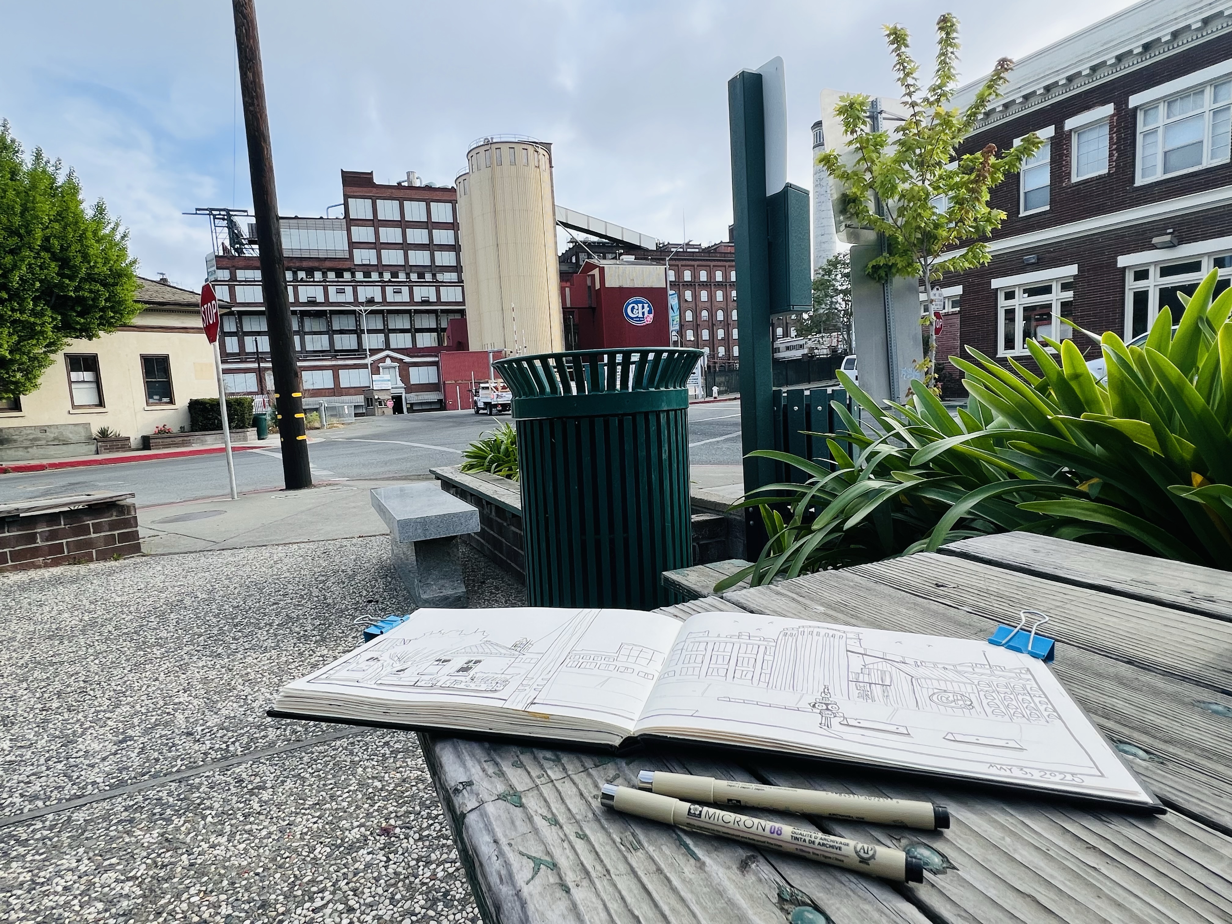
My Saturday morning sketch found me at the corner of Loring and Rolph Ave in the little corner park in Crockett.
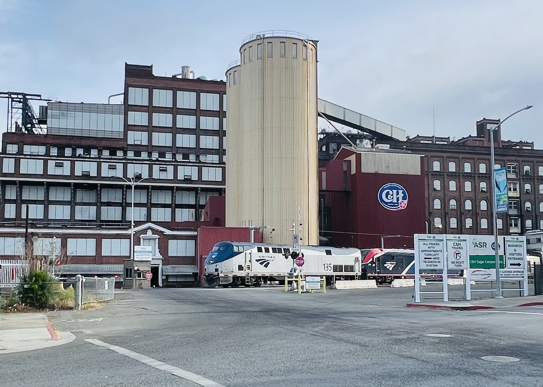
Before me was the C & H factory with the Union Pacific mainline passing in front. To my left was the former Southern Pacific station (sketched on a previous Saturday) and is now a historical museum.
I planned to add my park perspective to my Stillman & Birn Delta panoramic journal. The factory is full of complicated angles and shapes as if the factory was built in stages and at different times (which it probably was). I employed a little sketcher’s shorthand to simplify the details.
In 1906 Crockett became “Sugar Town” when a cooperative of Hawaiian sugarcane growers bought a sugar beet factory and turned it into the California and Hawaiian Sugar Company (C & H). At the company’s peak, 95% of the town’s residents were C & H employees.
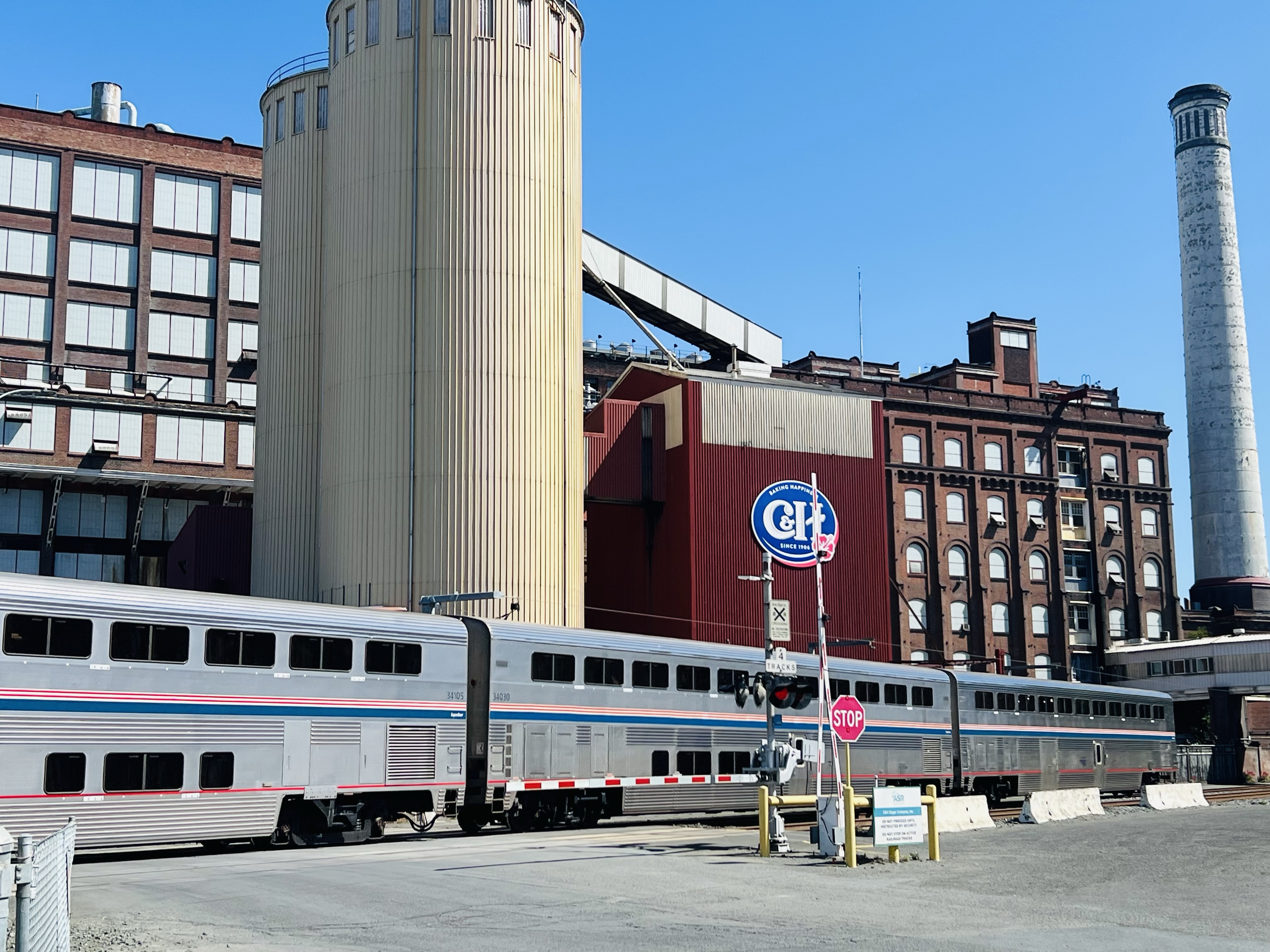
The southbound Coast Starlight No. 11 passes by the complex jumble of the C & H sugar factory at 8:01 AM.
Sketching the factory was a wonderful meditation, as it often is, turning chaos into order. I can think of few other pursuits that offers such satisfaction and peace of mind. I can almost feel my blood pressure drop when I put pen to paper.
Parkside sketching.
I employed a similar sketching techniques to past posts with putting a moving train in my sketch. I draw in the foreground and background and then add the train after it passes (usually from a photo reference).
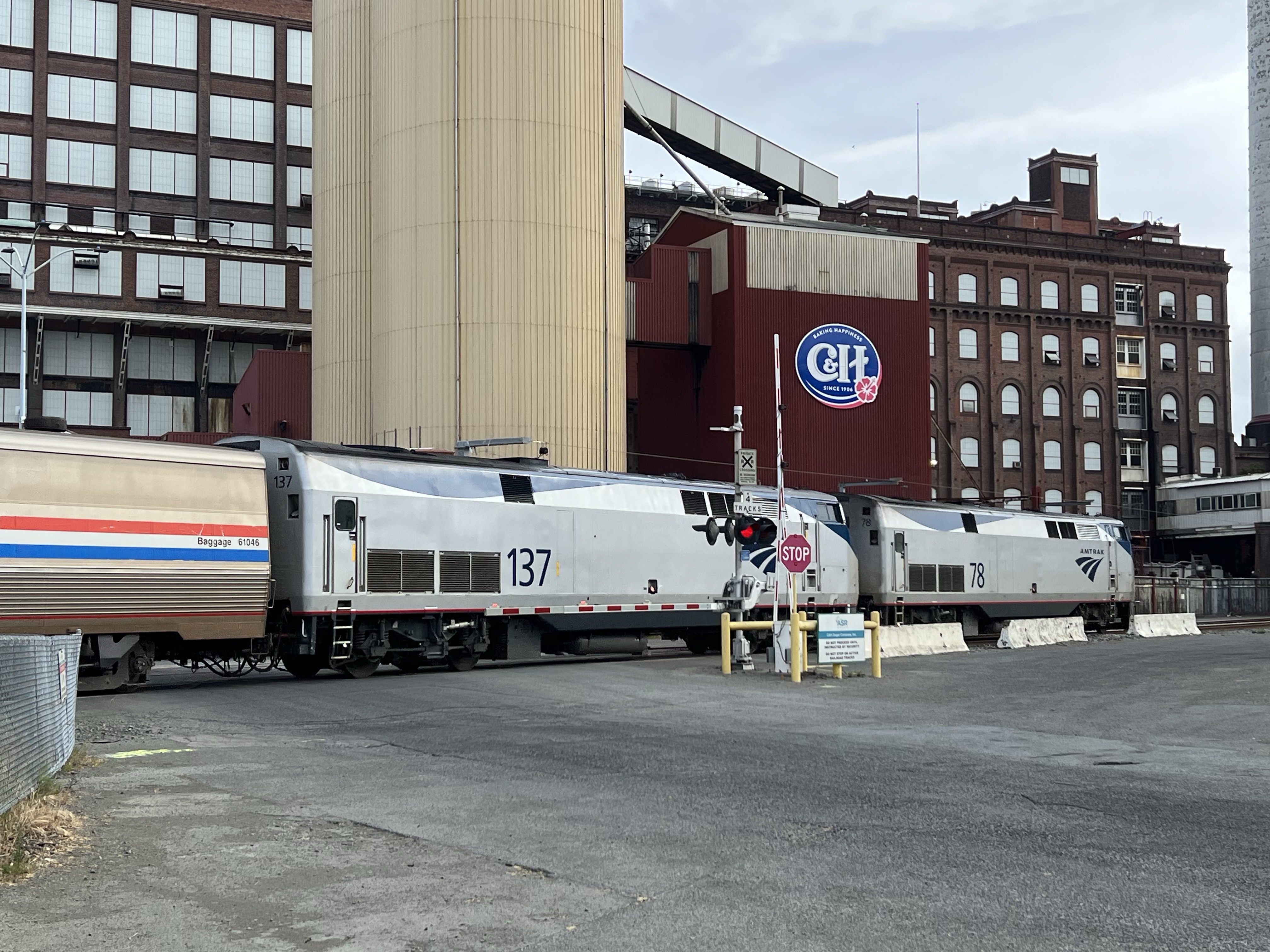
Two GE P42DCs (No. 78 and 137) on point of the California Zephyr. Next stop: Martinez, final destination: Chicago, Illinois.
The passenger train I sketched into the scene was California Zephyr No. 6. I guess I should explain my fascination with AMTRAK’s longest daily route.
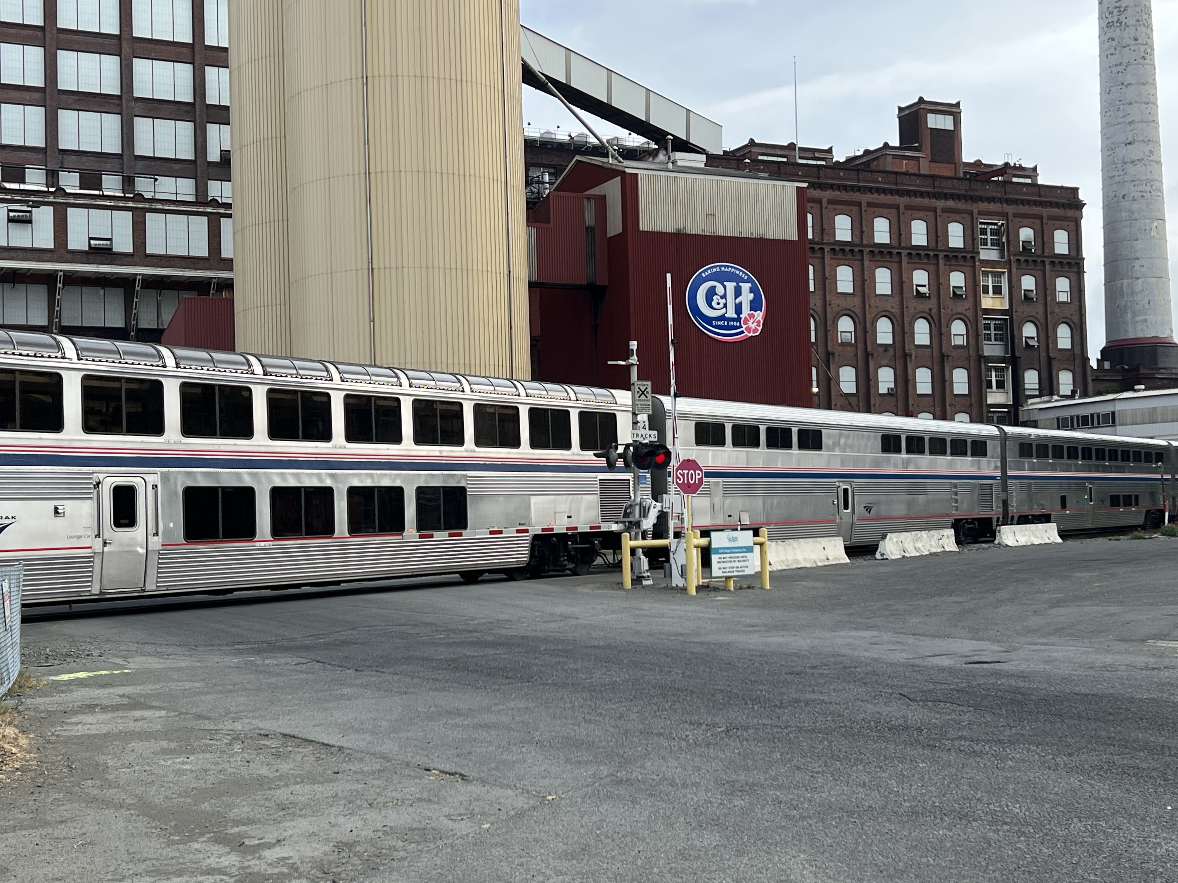
The Zephyr observation car crossing the entrance access to the C & H factory.
I have taken the Zephyr round trip twice, from Colfax, Ca to Denver, Co. The first time was for some Colorado birding and we where up in the Rocky Mountains at Loveland Pass looking for the elusive white-tailed ptarmigan.
It was here that I got a call from my mom and learned that my younger brother had died. I was leaving the next day from Union Station and it was a beautiful if not bittersweet rail journey.
The last trip I took with my stepdad was on the Zephyr and it was a great trip through one of the most scenic stretches of tracks in the United States. So whenever I see the Zephyr pass by, it puts a smile on my face.
On a Saturday morning I headed up to Sugar Town on the Carquinez Strait.
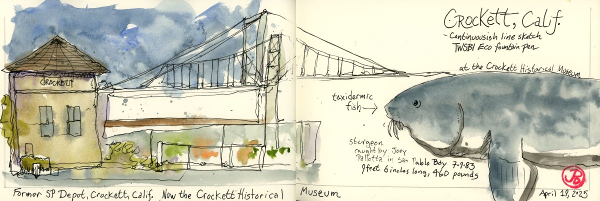
My sketching target: the former Crockett Southern Pacific Depot with the two parallel spans of the Carquinez Bridges in the background. The depot is now home to the Crockett Historical Museum. Open Wednesday and Saturday from 10am to 3pm. Ish!
This is a busy place for rail with seven trains passing by including a California Zephyr, a Coast Starlight, a San Joaquin, Capital Corridors, and a Union Pacific freight during my two hours visit.
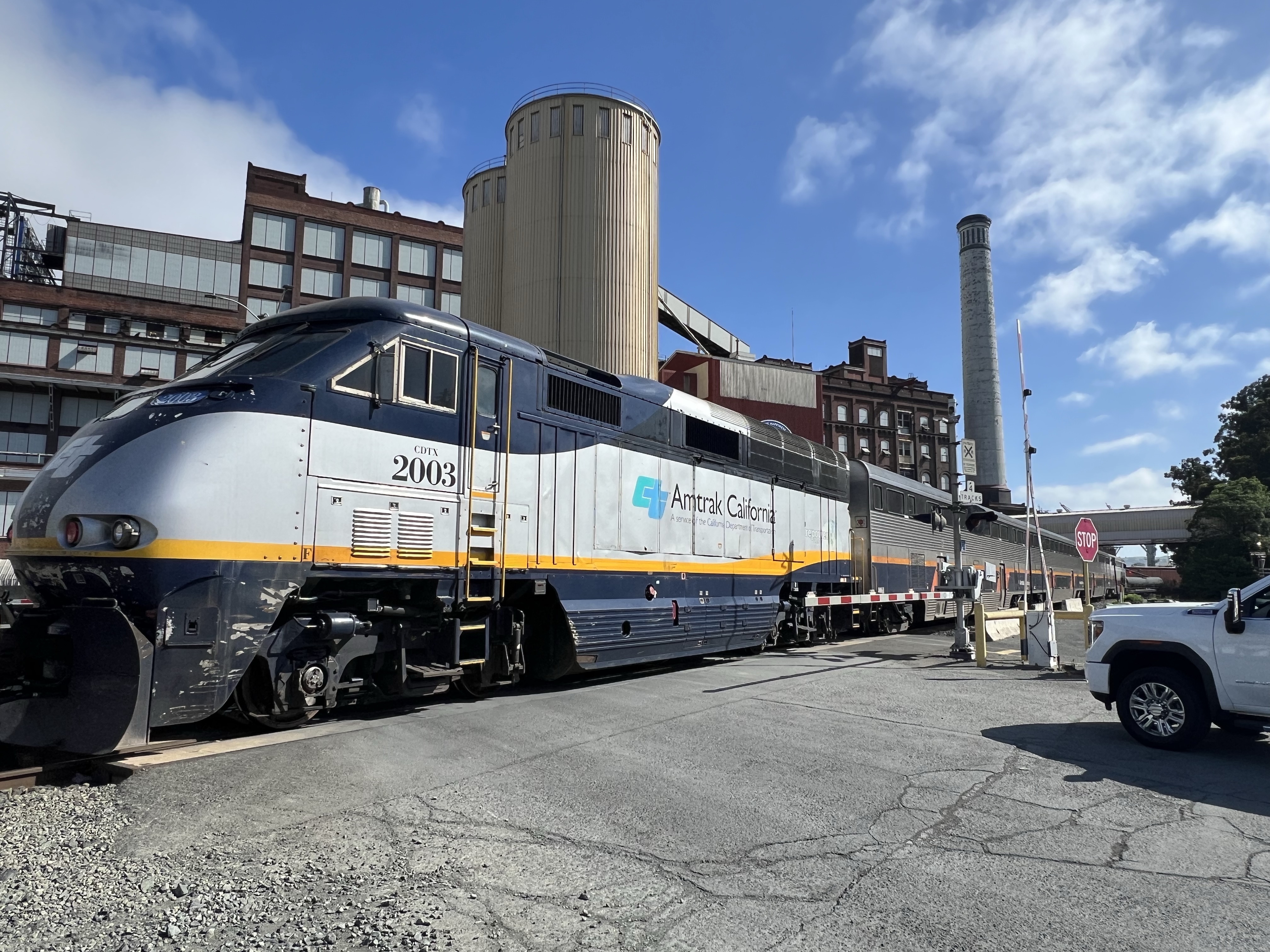
Coast Starlight No. 11 passes by the C & H Factory to its final destination of Los Angeles’ Union Station. The train was running a little late. Shocker!
My sketching goal was to render the scene in a continuous line sketch. This means you never lift your pen for the entire sketch. No pencil, no erasing, no going back, this is truly sketching without a net!
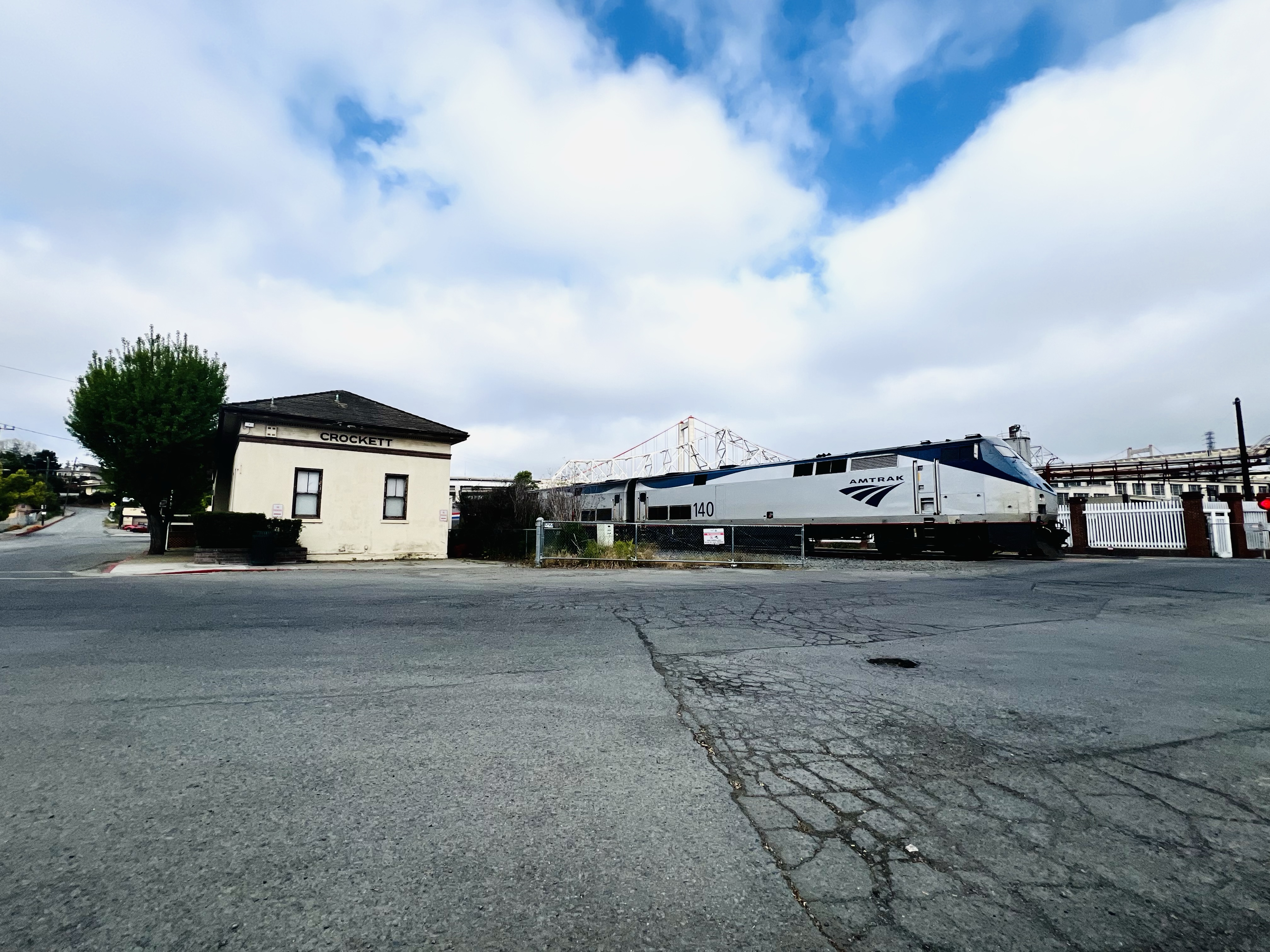
Eastbound California Zephyr Number 6 passing the former SP Depot at 8:56 AM without stopping. Final destination: Chicago.
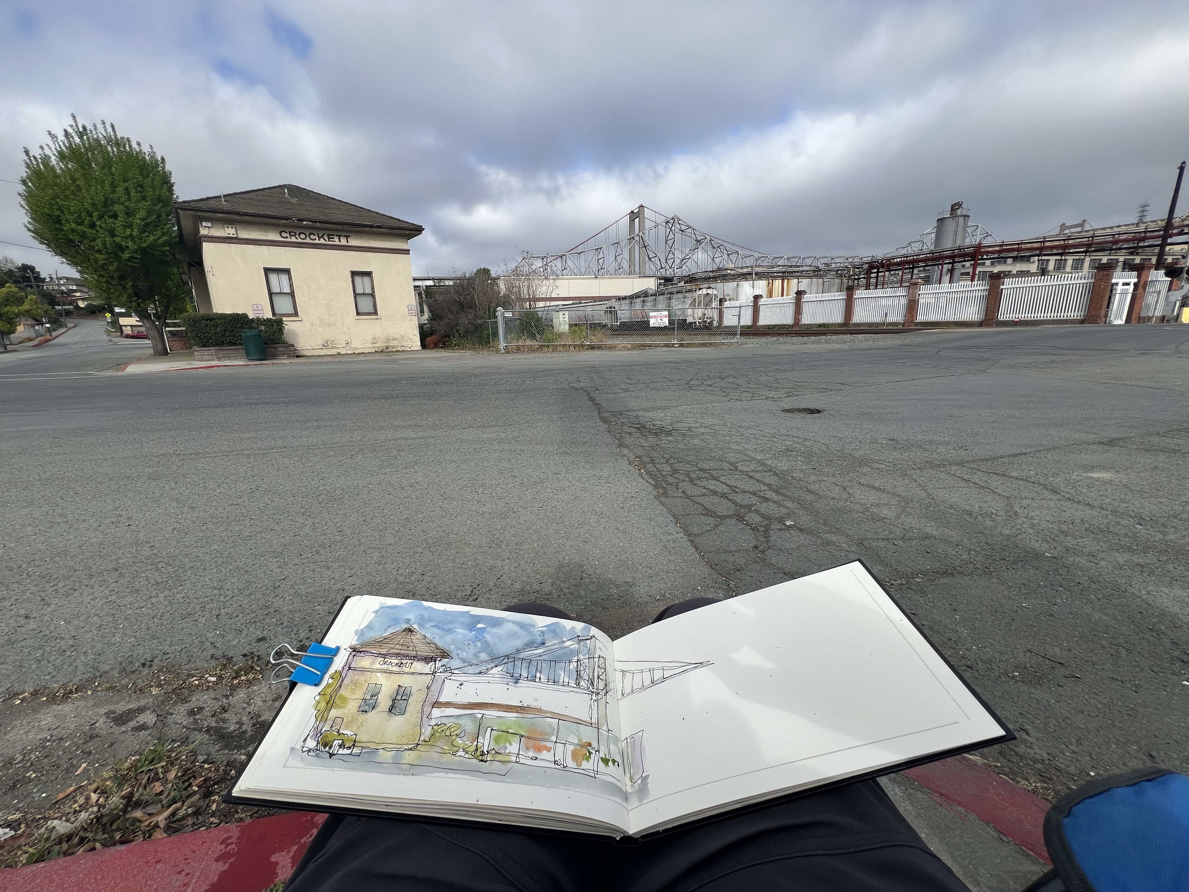
I set up my sketching chair across the street from the depot just at the entrance to the company that made Crockett a company town, the C & H (California & Hawaii) sugar factory. For my sketch I used my TWSBI Eco fountain pen.
Nothing like starting the weekend with a field sketch!
Continuous line sketching can be challenging and I lifted my pen off the page once or twice (to photograph Zephyr Number 6) but I restarted where I left off. So my sketch is really a broken continuous line sketch.
In the end I like the imperfect lines of the sketch. This technique is a great way to loosen up your line work and in the end I am pleased with the result. It may not be the most accurate form of sketching but it sure has a lot of soul!
I added some wet on wet washes and paint splatter, which looseness, matches the line work.
When the museum finally opened at 10:25, I was drawn to the large 460 pound taxidermy sturgeon in a glass case. So I added it to the right side of the spread.
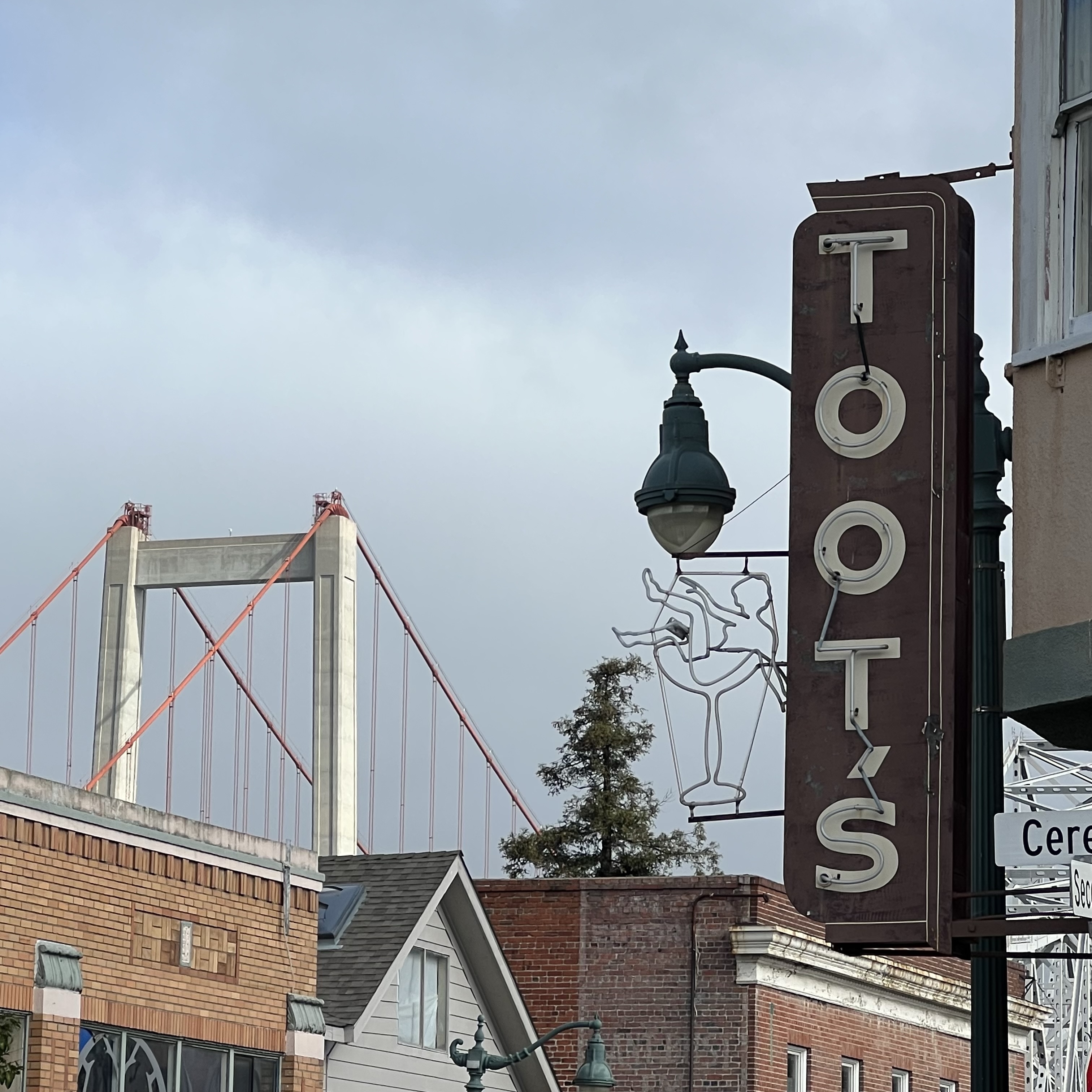
Main Street Crockett with Toot’s bar and the new span of the 2003 Carquinez Bridge towering over the town.
The trains never stop rolling through Crockett. This is a Sacramento-bound Capital Corridor train passing the sugar factory.
There has been a museum on my sketch list for a long time and I used my fall break to finally visit it.
The National Museum of Transportation is in the St. Louis suburb of Kirkwood, Missouri. The 42 acre museum was founded in 1944 and has a large collection of railroad history (and cars and planes).
The museum has it’s own railroad spur to the Union Pacific mainline (formerly Missouri Pacific Railroad) so the larger locomotives in its collection can be shipped on rail.
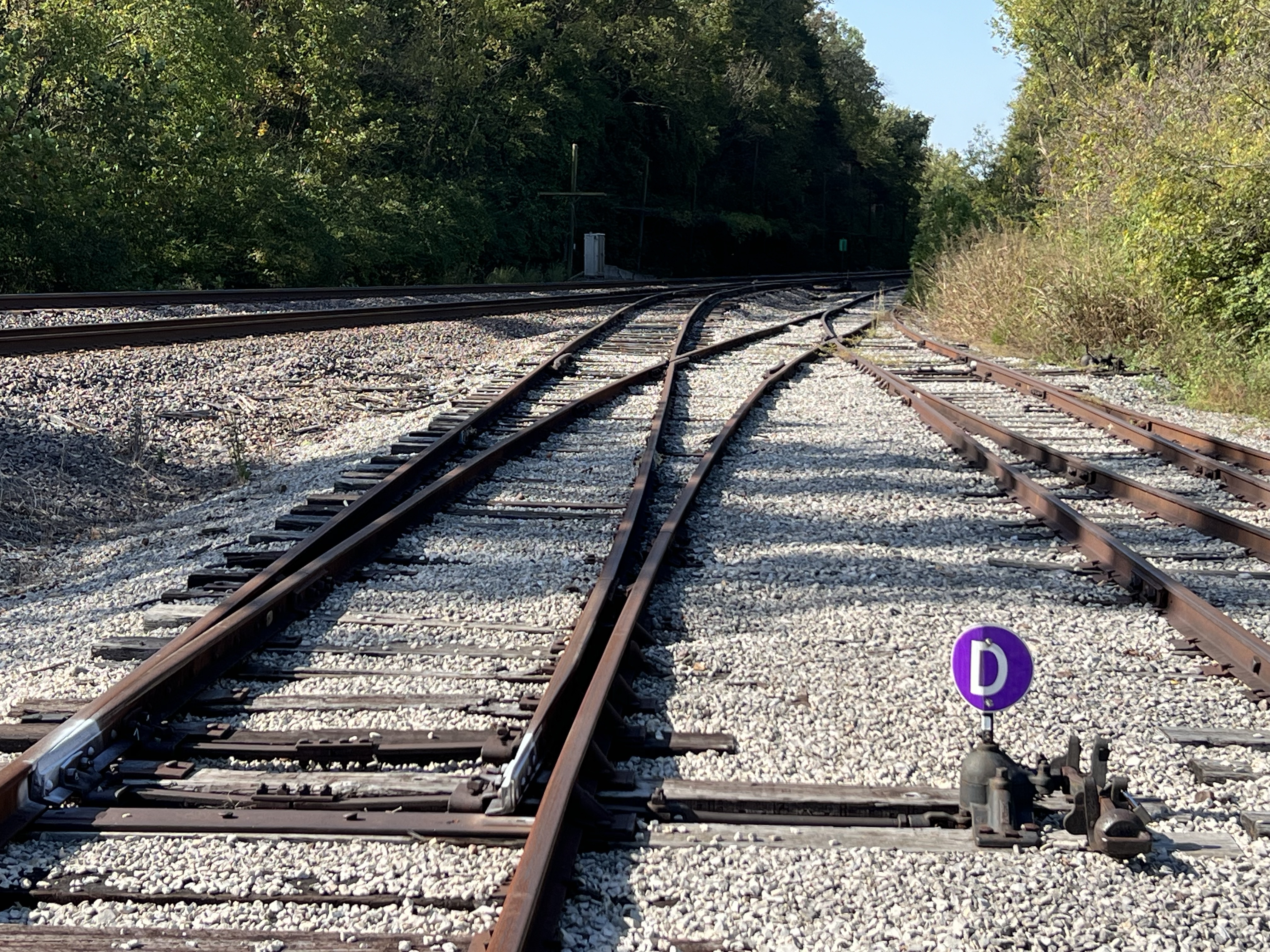
The railroad spur connecting the museum to the UP mainline.
I made up a sketch list before my visit and there were a lot of iconic locomotives to render in ink and watercolor.
I was going to be busy, very busy!
Visiting this museum is like having my favorite train book as a child, The Illustrated Encyclopedia of North American Locomotives by Brian Hollingsworth, come to life. As a child I thought: “I’d like to see that locomotive!” And now I was about to! In fact the museum has 13 iconic locomotives featured in this book. The reason I knew this museum even existed was the common refrain in the book, “now displayed at the Museum of Transportation at St. Louis, Missouri”.
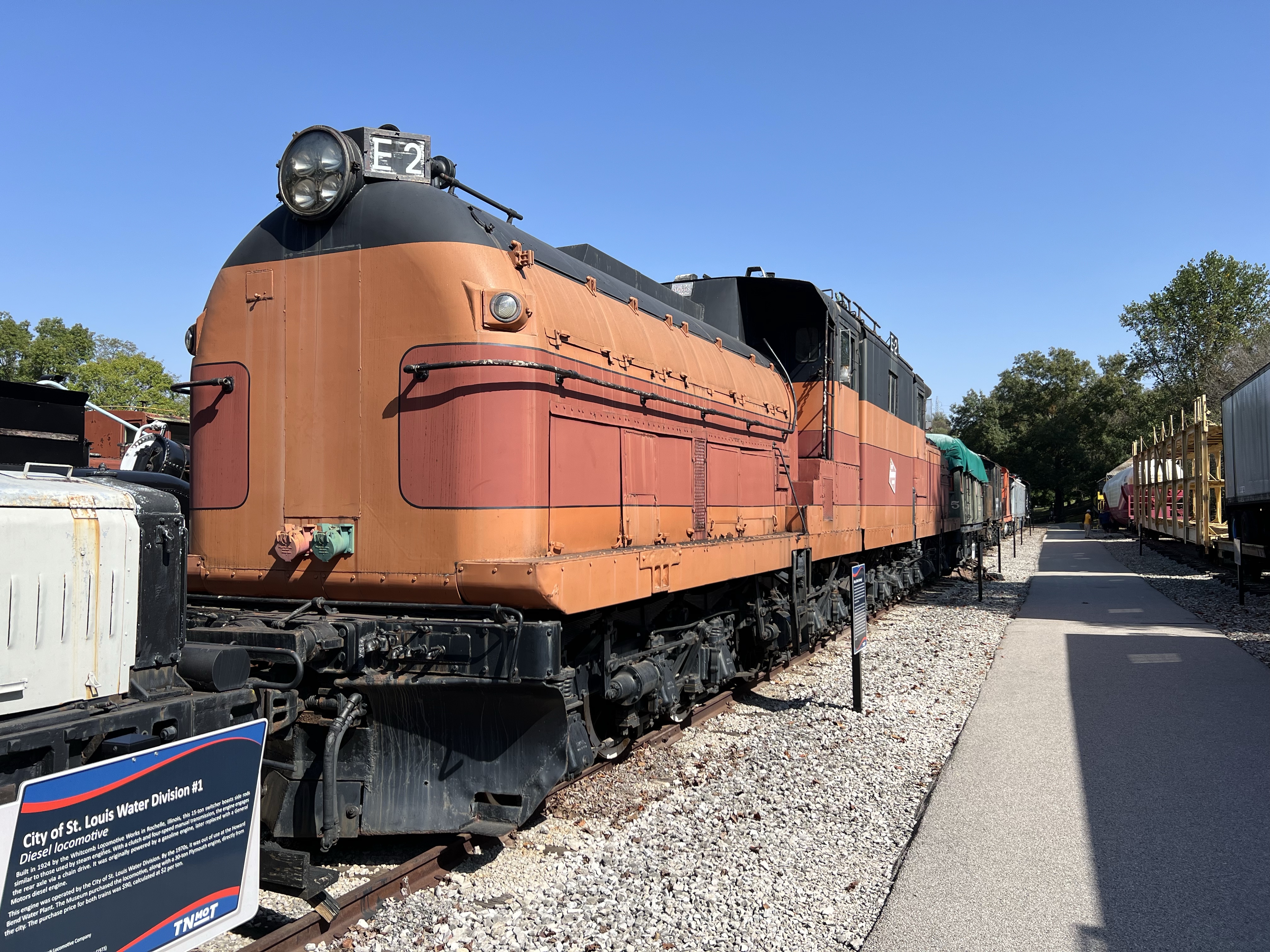
One of the electric locomotives featured in the book is the Chicago, Milwaukee, St. Paul & Pacific Railroad’s Class EP-2. This is the only preserved unit in its class in existence.
I planned to spend a good deal of time on my Sunday visit at the museum sketching. I would do all the line work in the field and then add watercolor back at my hotel.
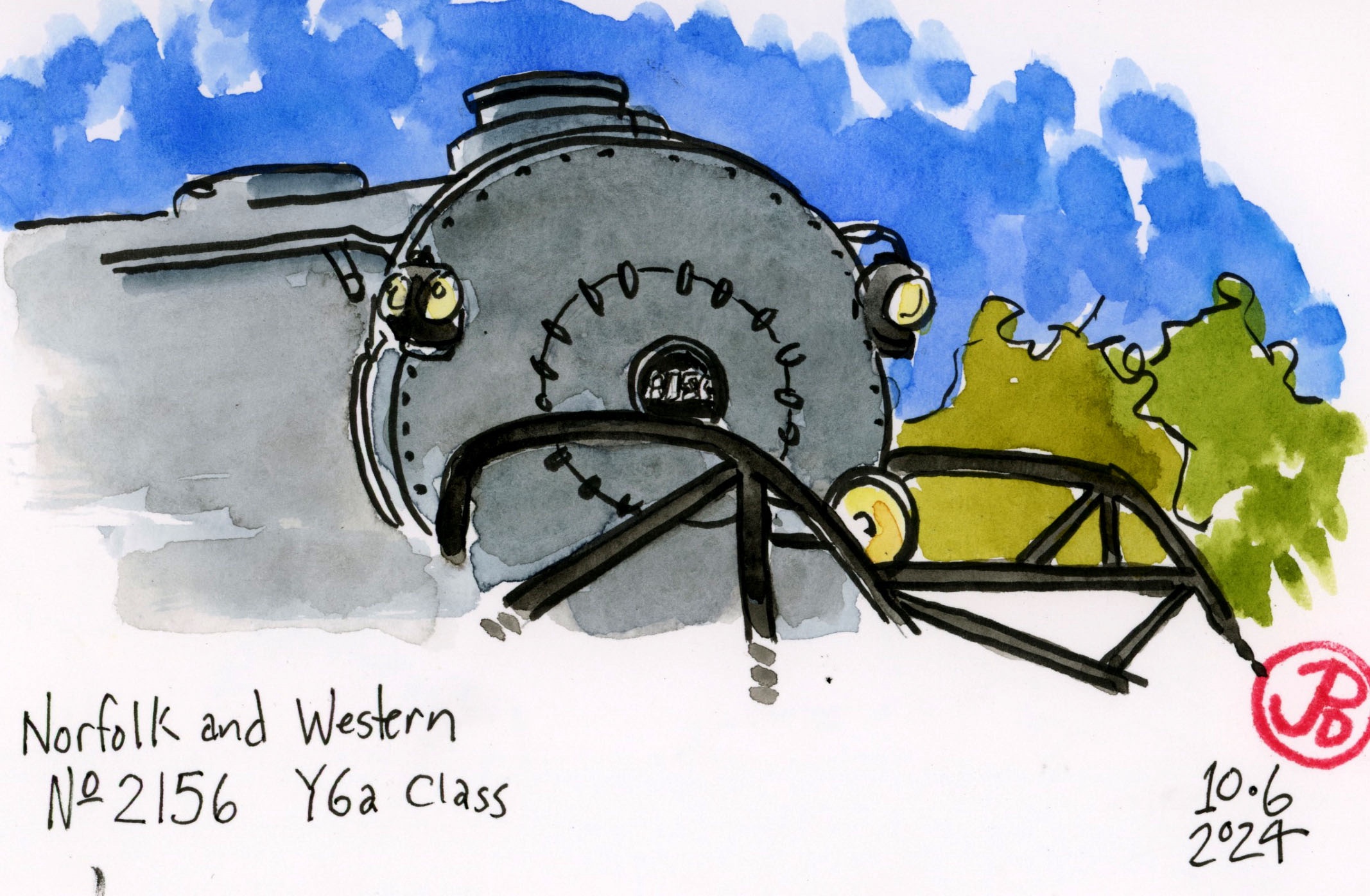
The museum has an amazing collection of large steam and diesel locomotives to sketch. One of those sketches completed the Norfolk & Western triad of A- Class, J-Class, and now Y-Class.
The N & W Y-Class was designed to haul long and heavy coal trains. While it is slightly smaller than Union Pacific’s Big Boys, the Y Class is more powerful than the UP articulated.
The NMOT is also one of the places to see a Union Pacific Big Boy. I have now seen and sketched four of the eight remaining Big Boys.
Freshly painted Big Boy No. 4006 with Centennial No. 6944 reflected in her black livery. This museum is one of the few places to see one of the largest diesels and largest steam locomotives displayed side-by-side.
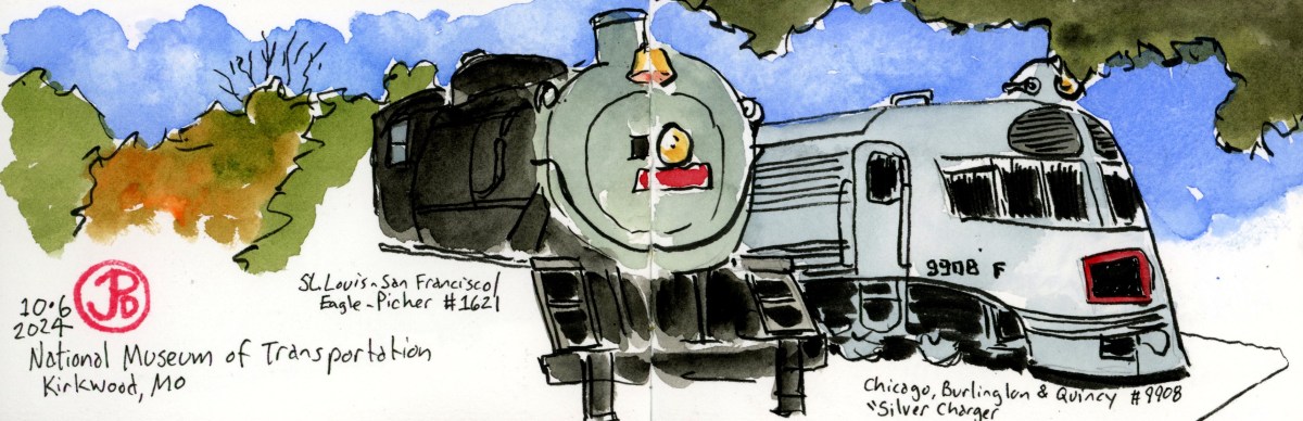
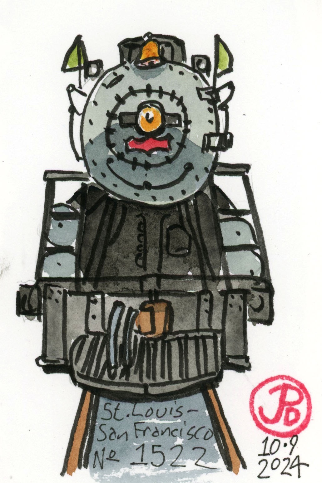
While the Big Boy is a big draw to the museum, there is one locomotive that is the most loved and best known. This is the St. Louis-San Francisco Railway (“Frisco”) No. 1522. This 4-8-2 Mountain type was built in 1926 by Baldwin. The locomotive logged over 1.7 million miles in passenger and freight service. She was restored to working order and was in excursion service from 1988 to 2002 around the Midwest, where many saw and rode behind her.
I was meeting a friend in the East Bay city of Martinez and I had a little time to sketch before lunch.
Martinez is a hotbed of railroading with both the Union Pacific and BNSF passing through as well as some marquee passenger trains such as the Coast Starlight and the California Zephyr making stops at the Martinez AMTRAK station. And the Capitol Corridor commuter takes on passengers traveling north and south on shorter journeys.
The California Zephyr Train No. 6, at the old Southern Pacific Depot in Martinez. This train is heading east to Chicago. To the right in the background is SP switcher 1258 on static display.
There would certainly be something to sketch here and I was going to start with a historic train trestle.
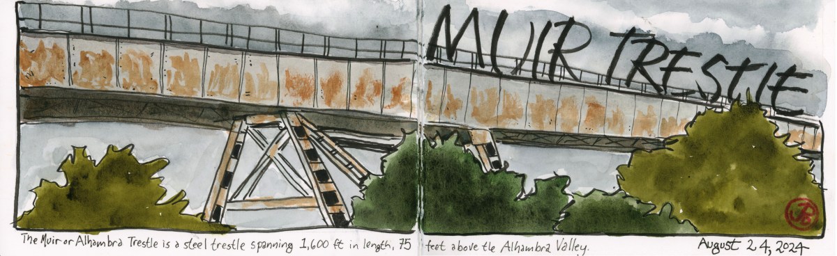
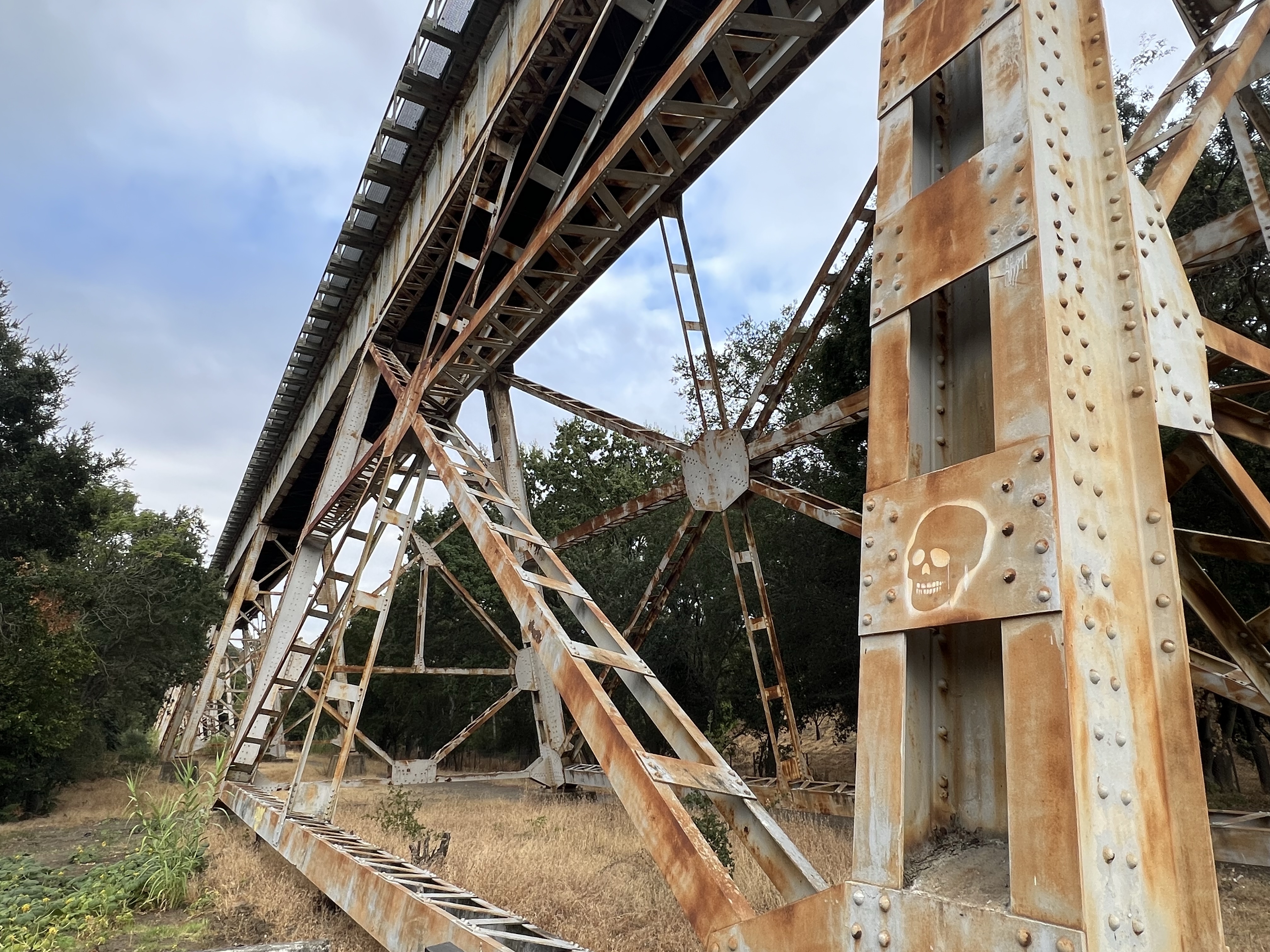
I parked at the Mount Walda Trailhead. Soaring above me was the 1,600 foot long steel Muir Trestle (aka the Alhambra Trestle). The single track trestle was so long that I could only see and sketch one section of it before it disappeared into the trees to the east. The trestle rises 75 feet above the roads, trees, and houses it crosses over.
A detailed view of the steel supports of the Muir Trestle.
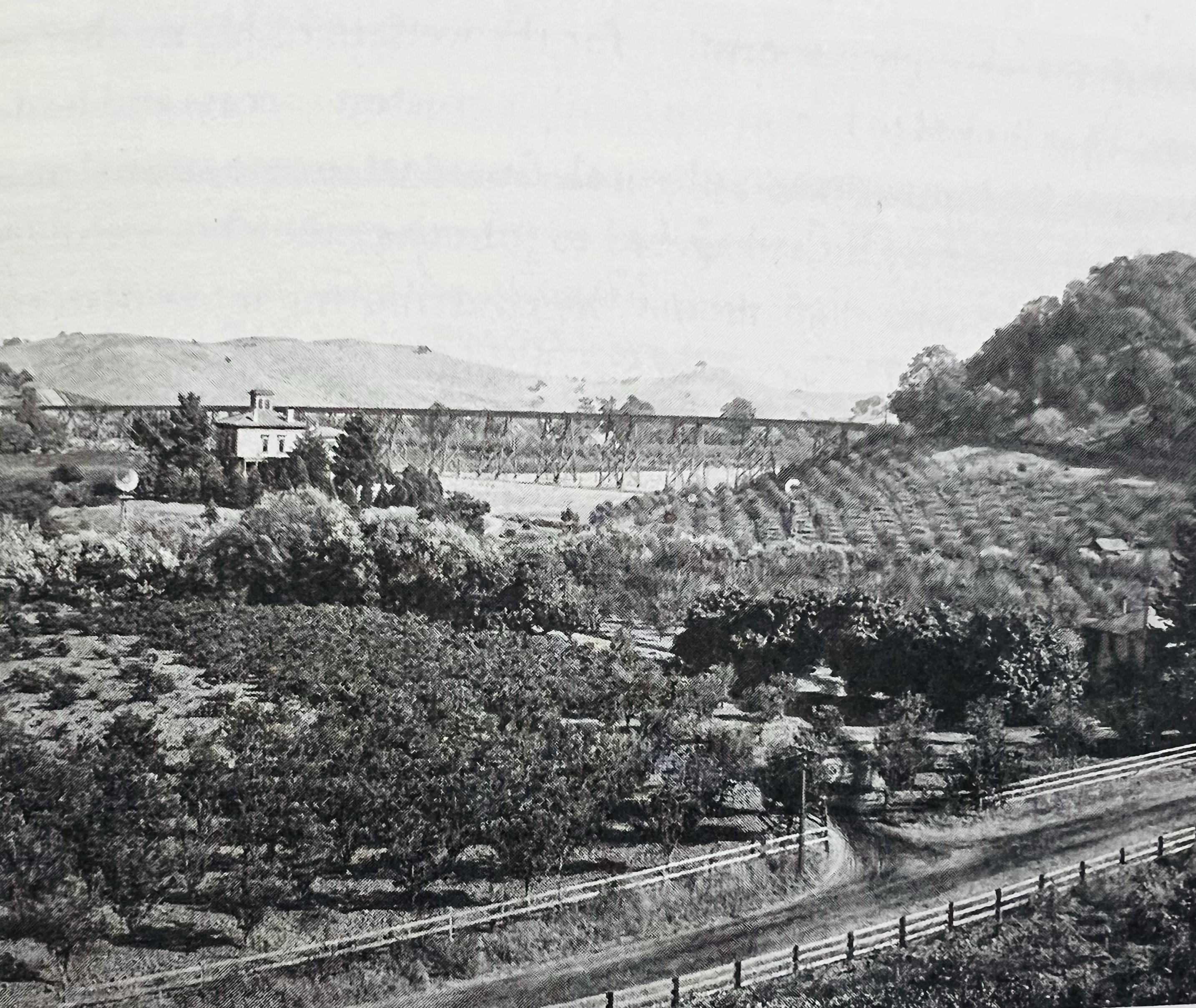
The trestle is within the John Muir National Historic Site. To the north is Muir’s Martinez home. Muir and his wife Wanda sold the land for the trestle for $10 and a lifetime rail pass to the San Francisco and San Joaquin Valley Railway. The original wooden trestle was built through a pear orchard and completed in 1897.
This is a historic photograph of the Stengel-Muir ranch in 1897. The Muir house is on the top left and the trestle is viable behind the house. At the time of the photograph, the trestle was constructed of wood.
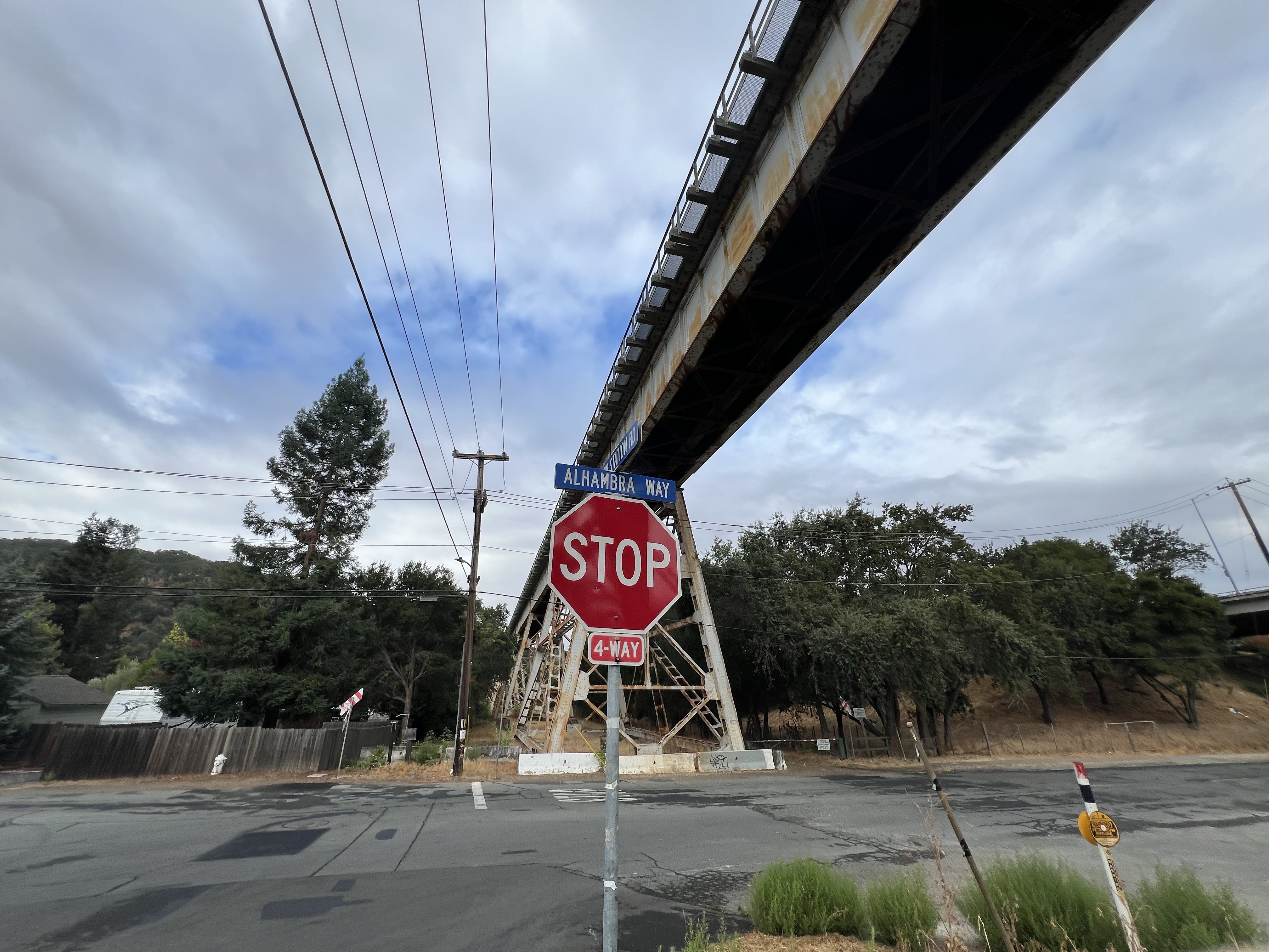
At the eastern end of the trestle there was a passenger and freight station named Muir Station. The station is now long gone but is immortalized in a street that parallels the rails named Muir Station Road.
From this station Muir could ship his produce to Oakland or to the port in Martinez.
One of Muir’s neighbors in the Alhambra Valley was John Swett, Muir close friend. Swett was the State Superintendent of Public Education and is known as the “Father of California Public School”.
In 1898, Santa Fe purchased the line and it became their Valley Division. This division still exists as BNSF’s route from Richmond to Fresno.
The Muir Trestle from the intersection of Alhambra Way and Muir Station Road.
I took up a sketching position near the trailhead and started my drawing. The trestle above me is on the Stockton subdivision and is used by BNSF intermodal freight. There was no train crossing during my sketch.
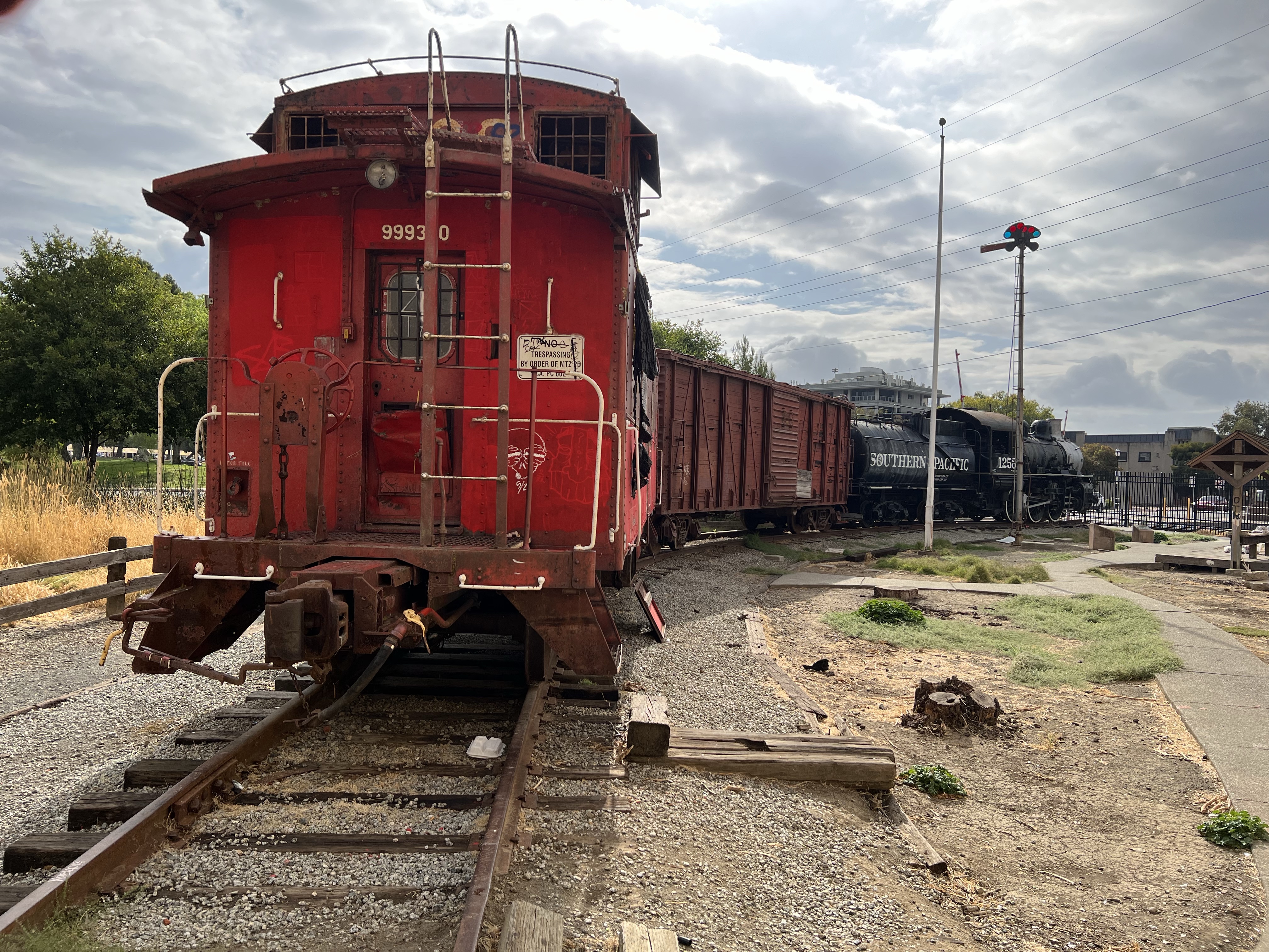
SP 0-6-0 switcher No. 1258 and its consist of a wooden box card and Santa Fe caboose 390 on display across the tracks from the AMTRAK station. The locomotive is in sad shape, missing some hardware like her bell and whistle.
One of the Seven Marvels of the Feather River Route is to be found a few miles north of Quincey.
The Feather River Route, also known as the Canyon Subdivision, stretches between Oroville and Portola, Ca and competed with Southern Pacific’s route over the Sierras at Donner Pass.
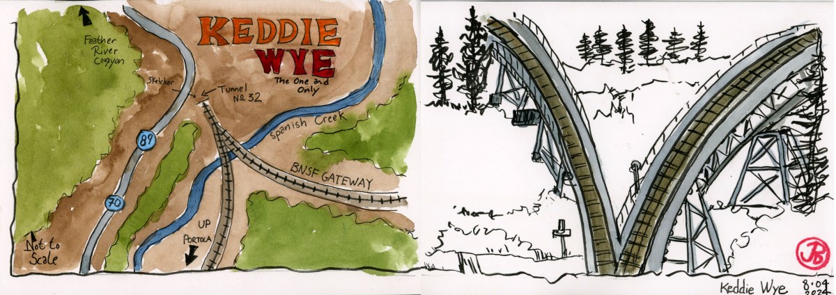
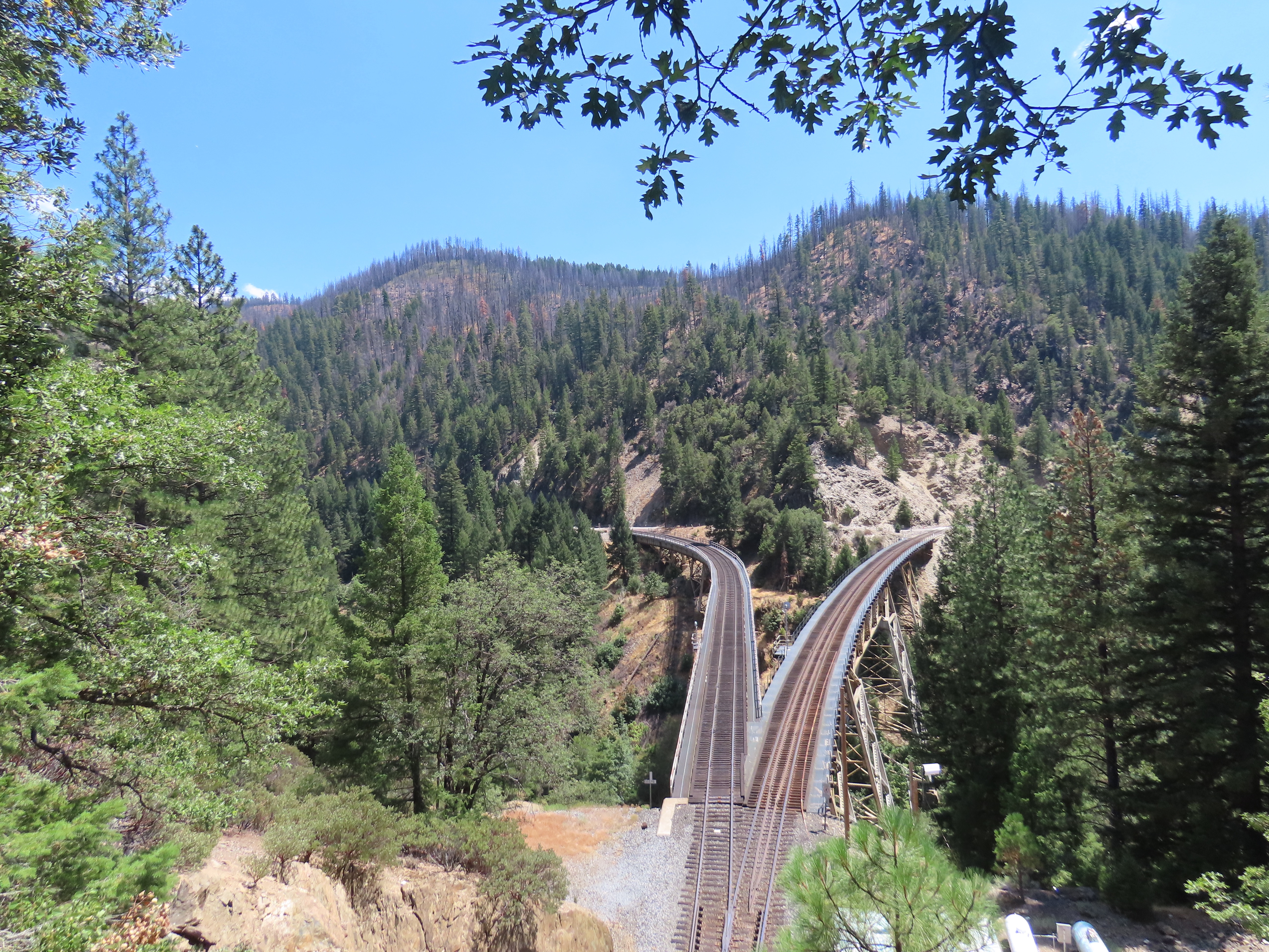
The Marvel is known as the Keddie Wye. This is where two tracks comes together to form one track, looking like the letter “Y”. Now this in itself isn’t much to write home about but when both sides of the “Y” are on trestles above a creek that joins together before entering a tunnel and then you know this is a special piece of railroad engineering.
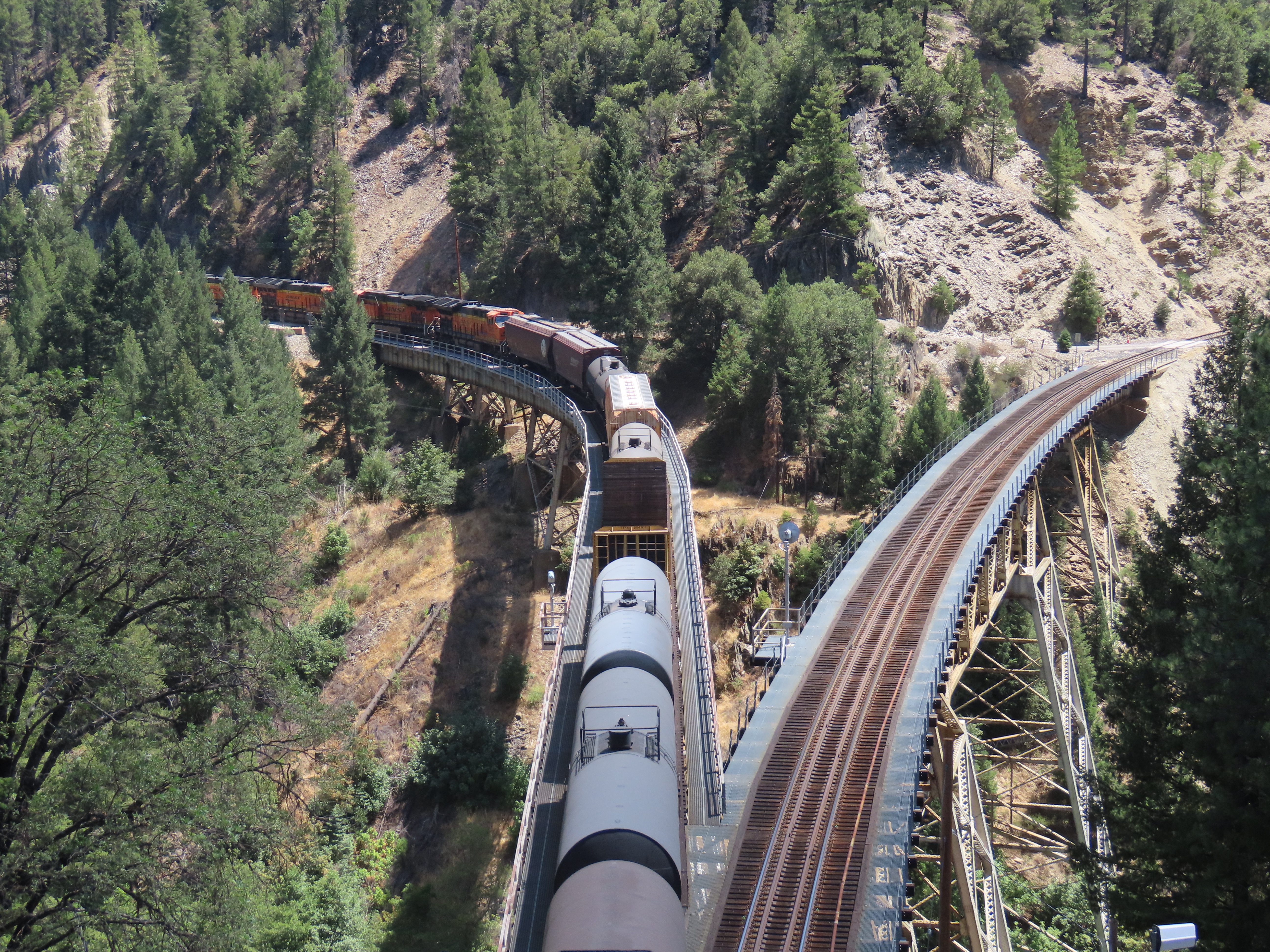
The two forks of the “Y” are also where two different railroads meet. On the right is the former Western Pacific Railroad, now Union Pacific, and one the left is the BNSF (Burlington Northern and Santa Fe).
After about a 45 minute drive from Portola on Highway 70, the famous Keddie Wye appeared to my right. I pulled over and found a vantage point to sketch. I perched on a narrow trail above Tunnel No. 32 looking out to the two forks of the wye.
Now the only thing missing was a freight train. It would have been nice to see a train traverse one side of the “Y”. As I was told at the Western Pacific Railroad Museum, Sunday is a quiet day on the high iron.
After my sketch (right side of the spread), I headed down Highway 70 into the Feather River Canyon proper. The Highway parallels the railroad and the Feather River. This is a beautiful drive and I periodically looked off to left at the rails across the river. No trains.
I was about 20 minutes from the wye when I heard the screech of steel wheels on rail. I looked to the left and a Burlington Northern and Santa Fe (BNSF) was climbing up the canyon with a mixed freight consist.
I found the nearest pullout and then reversed direction as I chased the BNSF up canyon. I wasn’t going to miss the freight on Keddie Wye!
As I climbed up Feather River Canyon I kept an eye to my right for glimpses of the train. I should have no problem overtaking the train as the line speed limit was 25-30 mph.
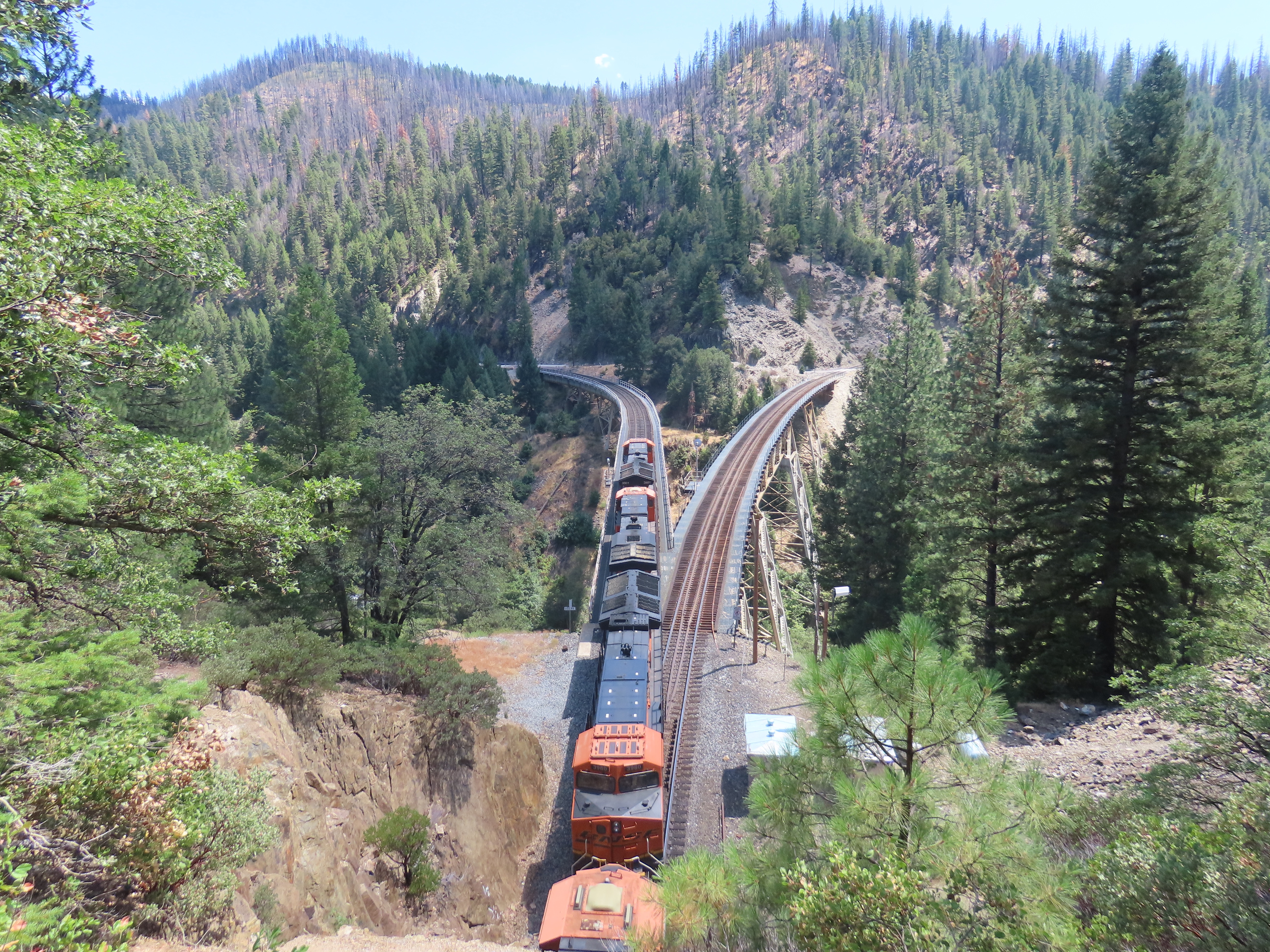
I soon came to the end of the train and before long I was approaching the five bright orange diesels on point. I passed them with time to spare.
Once I reached the wye I reversed direction again and parked at the pull out. I figured I was about ten to fifteen minutes ahead of the freight and I took my position on the narrow path above Tunnel 32. Now I had to just wait, wondering if I would be able to hear the approaching freight from my position.
Within ten minutes I could hear the diesels working up grade and the first locomotive appeared below me. The train headed onto the left side of Keddie Wye onto the BNSF Gateway heading north towards Lookout and Klamath Falls.
What a memorable experience to see a piece of railroad history that is not a static museum piece isolated in time but in use today.