“Kookaburra sits in the old gum tree, / Merry, merry king of the bush is he, / Laugh, Kookaburra, laugh. . .”
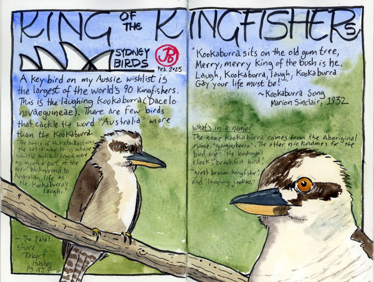
When it comes to a list of Australian birds that anyone from around the world can list, I bet the laughing kookaburra is in the top two.
This is a species that is commonly held in zoo’s collections. And then there is the song we sing in music class, quoted above.
Of course I have seen a real kookaburra at the San Francisco Zoo but I have never seen one free flying in the wild.
Oddly enough the kookaburra is a kingfisher. Out of the world’s 118 kingfishers, the kookaburra is the world’s largest and heaviest kingfisher, yet fish are a very small part of their diet. The “Bushman’s Clock” mainly eats rodents, insects, worms, snakes, and lizards.
The kookaburra’s laughing calls have been made famous as it is often used as jungle foley in films such as Tarzan, Wizard of Oz, The Treasure of Sierra Madre, and The Lost World: Jurassic Park.
For my kookaburra spread I included the first verse of the Kookaburra Song by Marion Sinclair. The song was composed in 1932 and is sung by children all around the world.
There was some controversy involving the song when the flute riff from Men At Work’s hit “Down Under” was deemed to plagiarize the melody of Sinclair’s ditty.
Now all I need is a Vegemite sandwich!
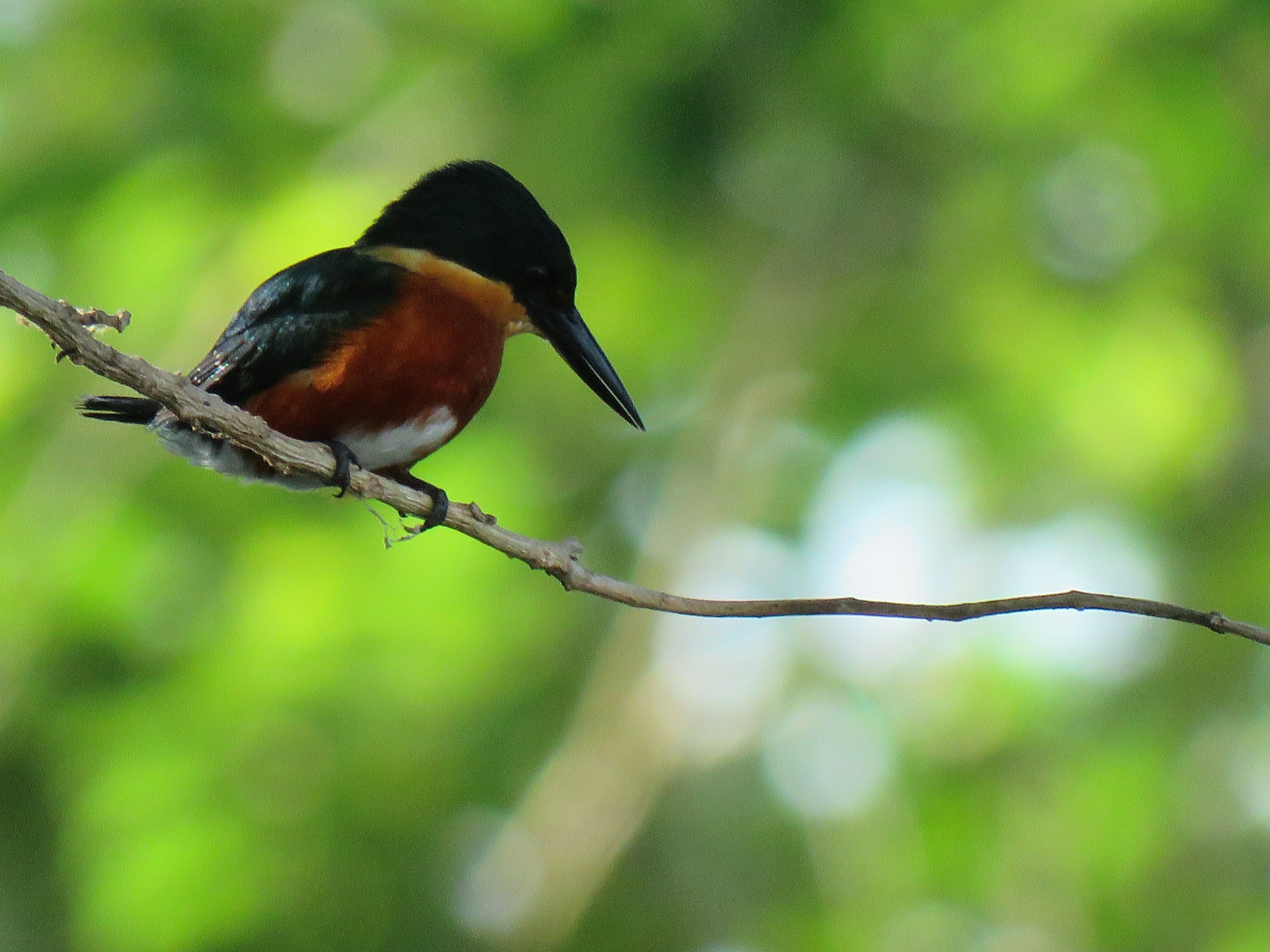
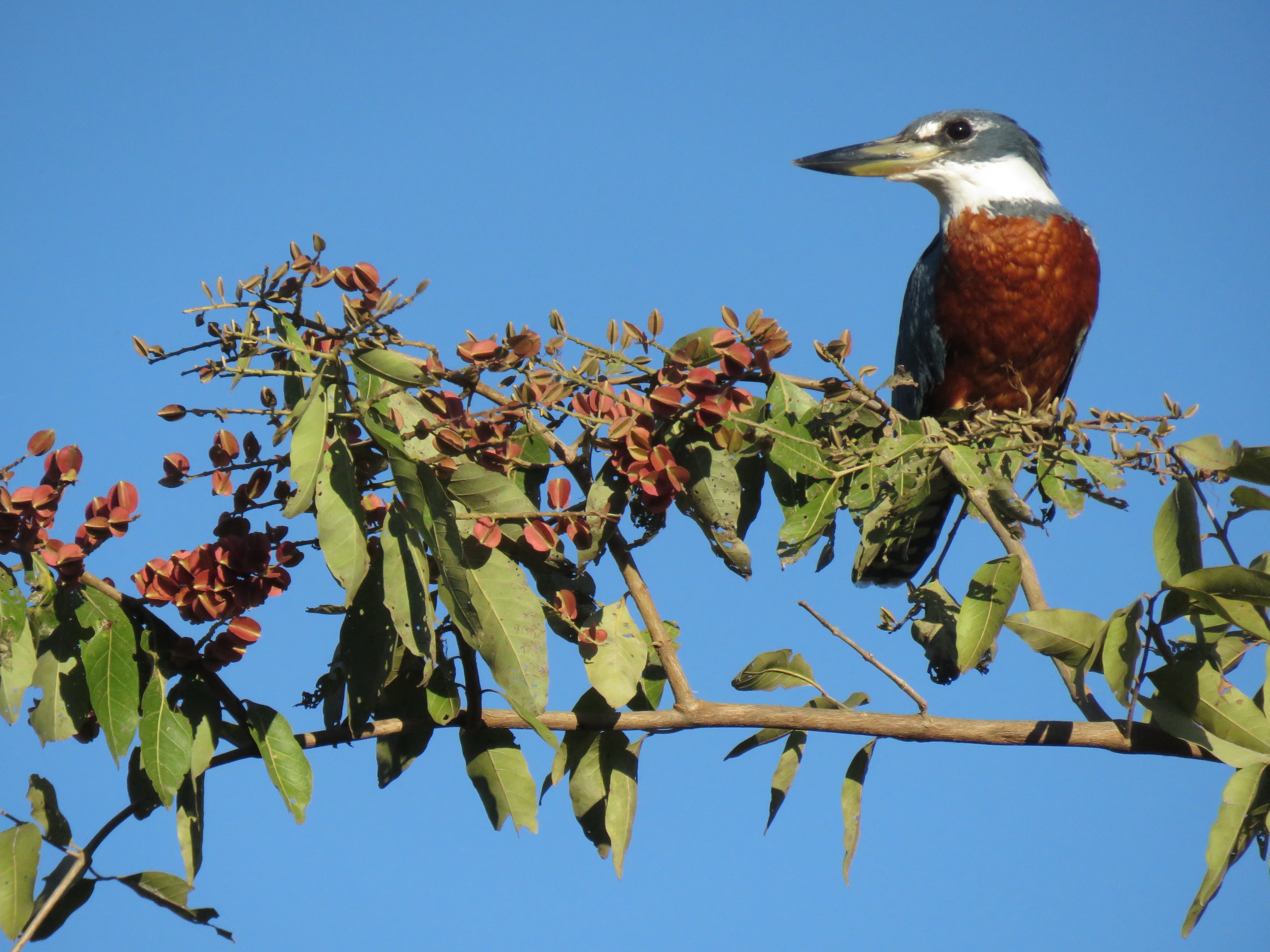
On my Aussie adventures I hope to add a few other kingfishers to my lifelist: azure, little, forest, red-backed, sacred, and collared kingfisher. And I aimed to add the other kookaburra of Australia to my wishlist: the blue-winged kookaburra. This would more than double my current number of kingfishers (7).