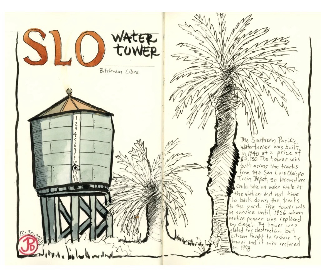
Sometimes sketching is a form of time traveling; A way to time travel to your own past.
On a March Saturday morning, before the sun was above the horizon, I found myself at the end of the Santa Cruz Municipal Wharf.
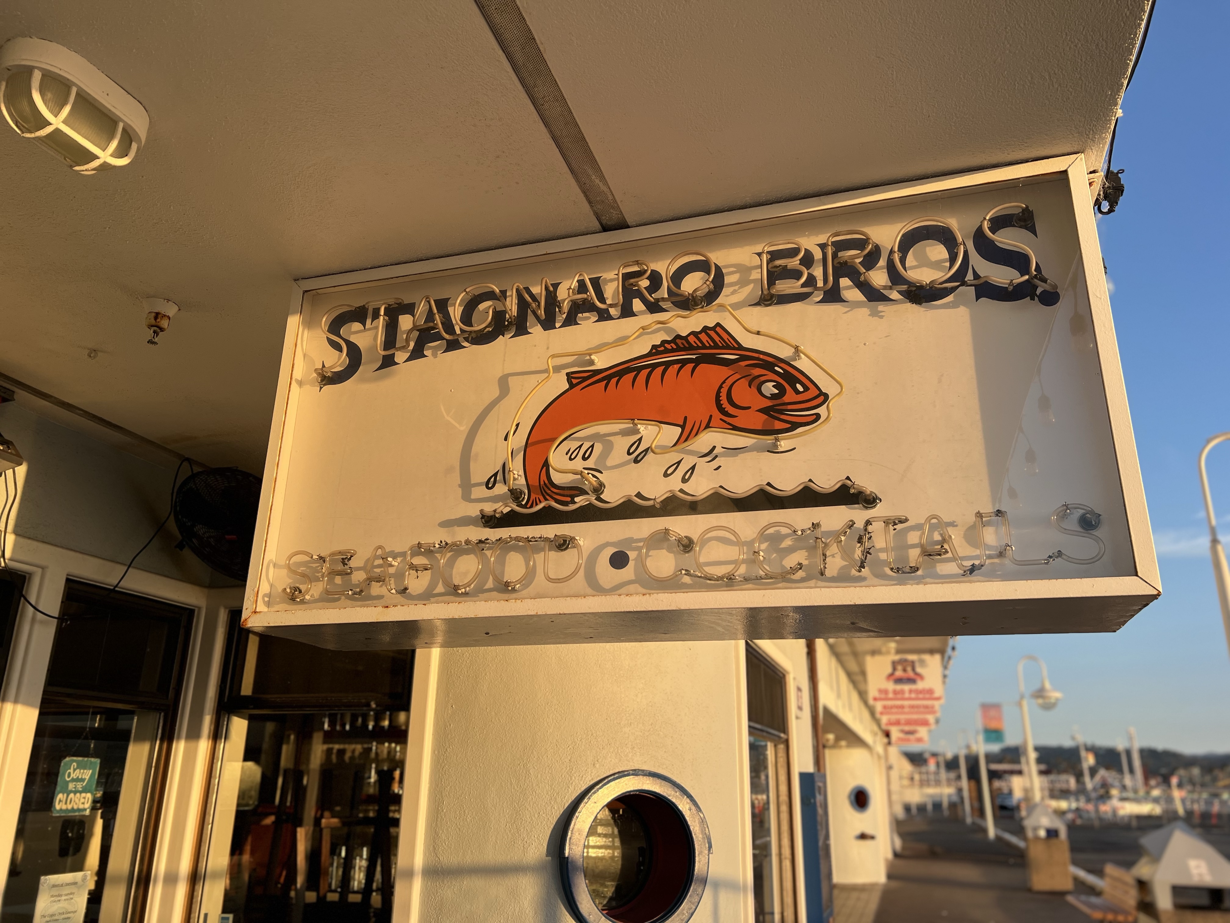
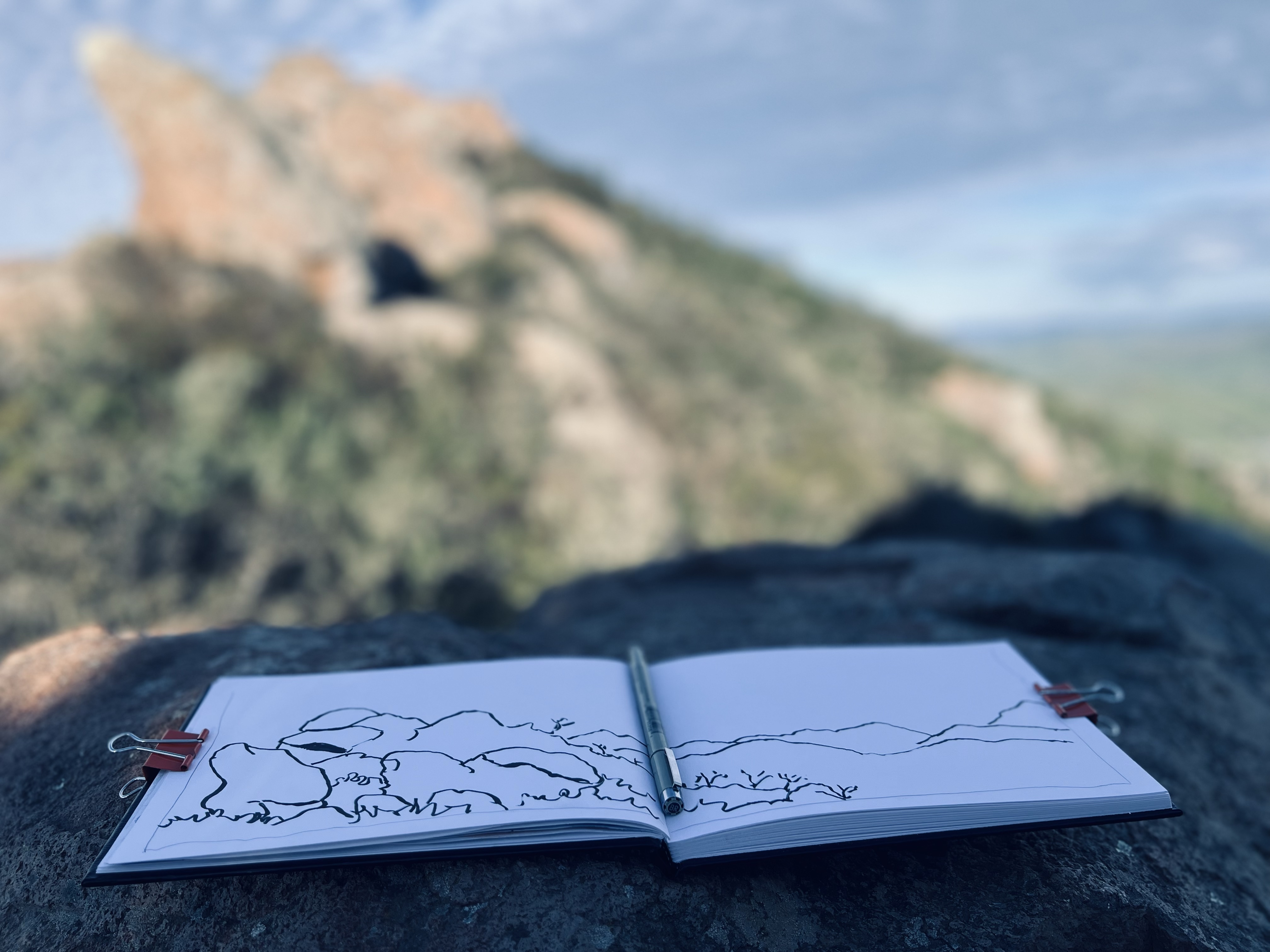
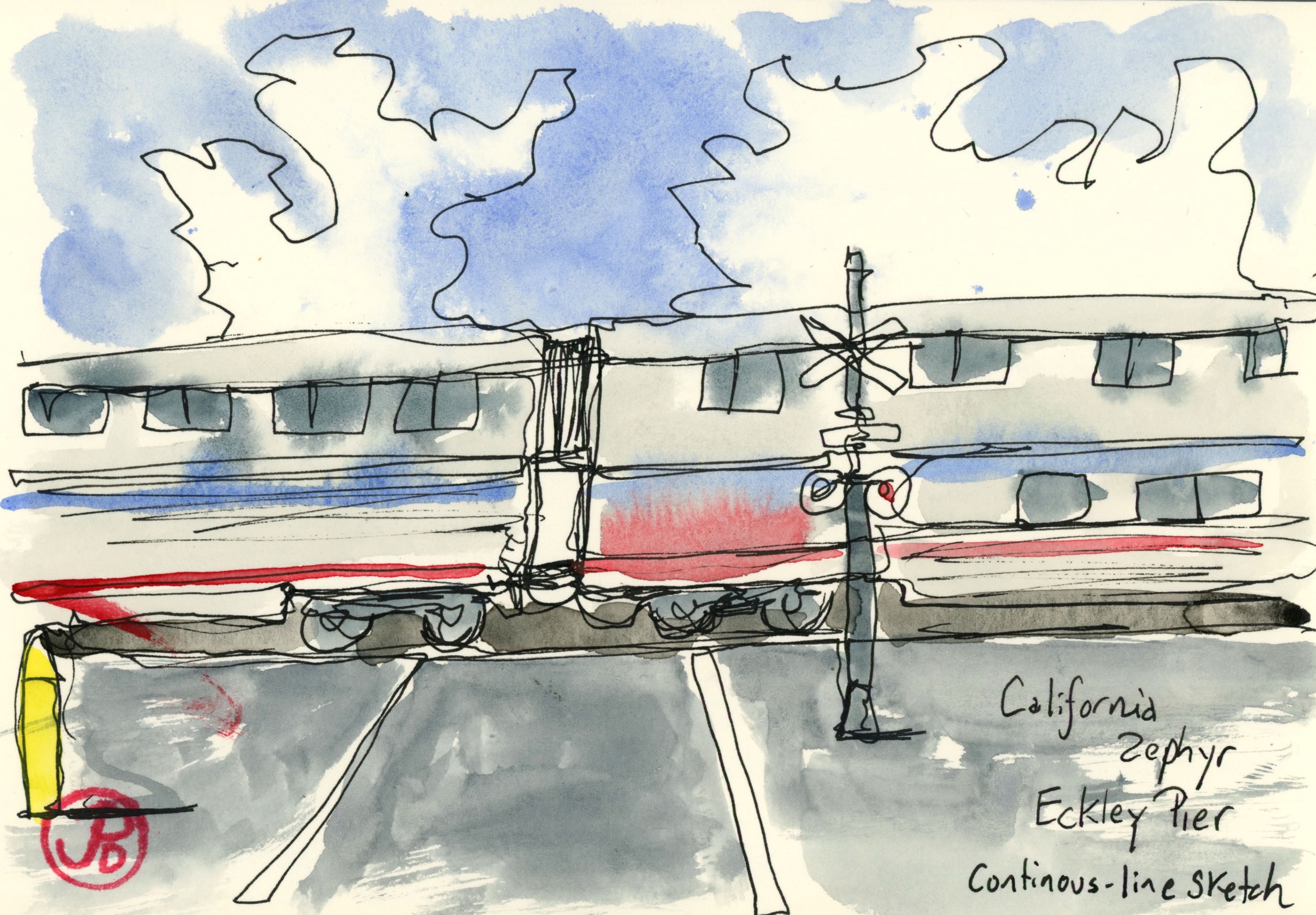
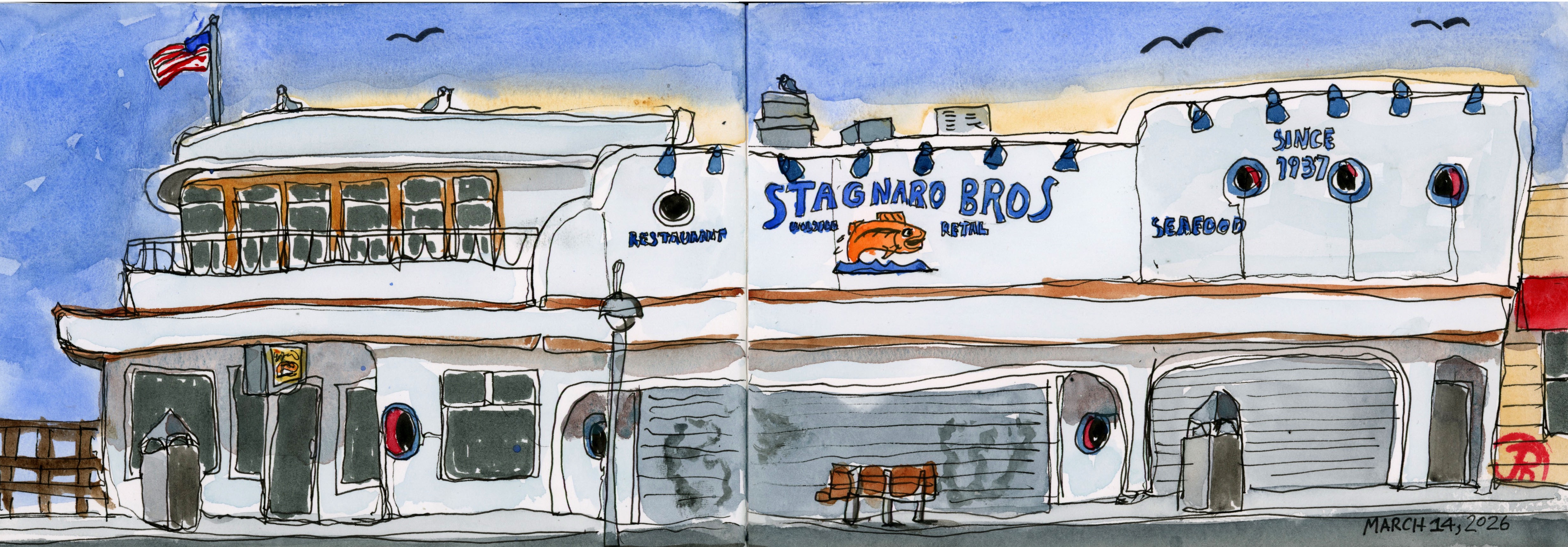
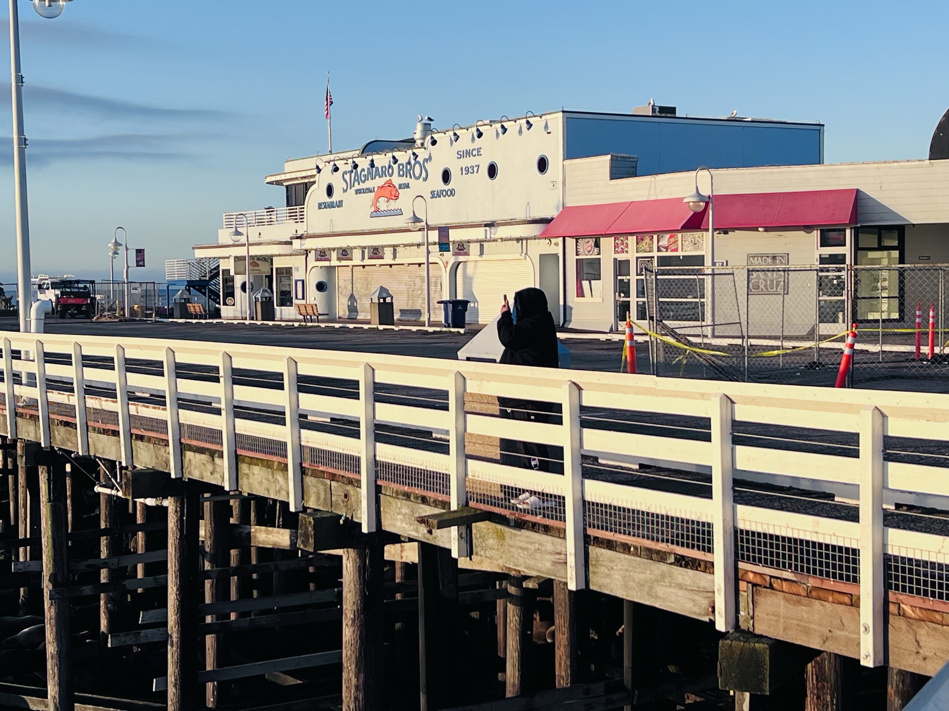
Before me was a long building that looked more like a seagoing vessel than a restaurant. My panoramic sketchbook was open and I started my continuous line sketch as the day was coming to life.
This is Stagnero Bros, a Santa Cruz institution.
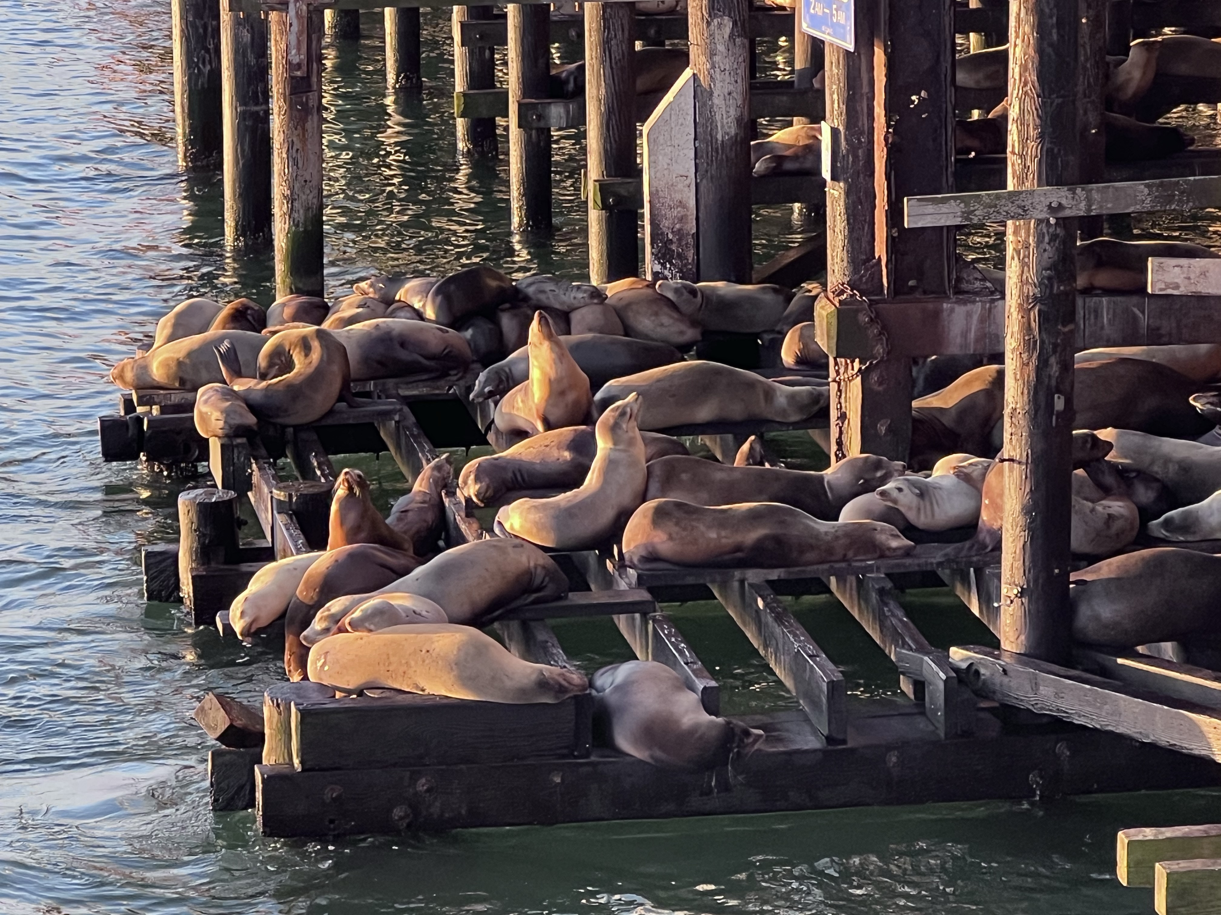
In my youth I spend much time with my dad and brother on the wharf watching the sea lions, inspecting what fisherman were reeling in, looking at the fish on ice at Stagneros, and eating burgers at Nelson’s.
A lot has changed in those 40 odd years. Nelson’s is gone and so are my father and brother and I don’t eat burgers anymore.
But the business on the wharf has been going since 1937.
The Stagnero’s was founded by Italian immigrants from a small fishing village in the province of Genoa.
Matteo Stagnero worked various jobs including fishing in the waters of the bay before opening a seafood market and cocktail room on the wharf in 1937.
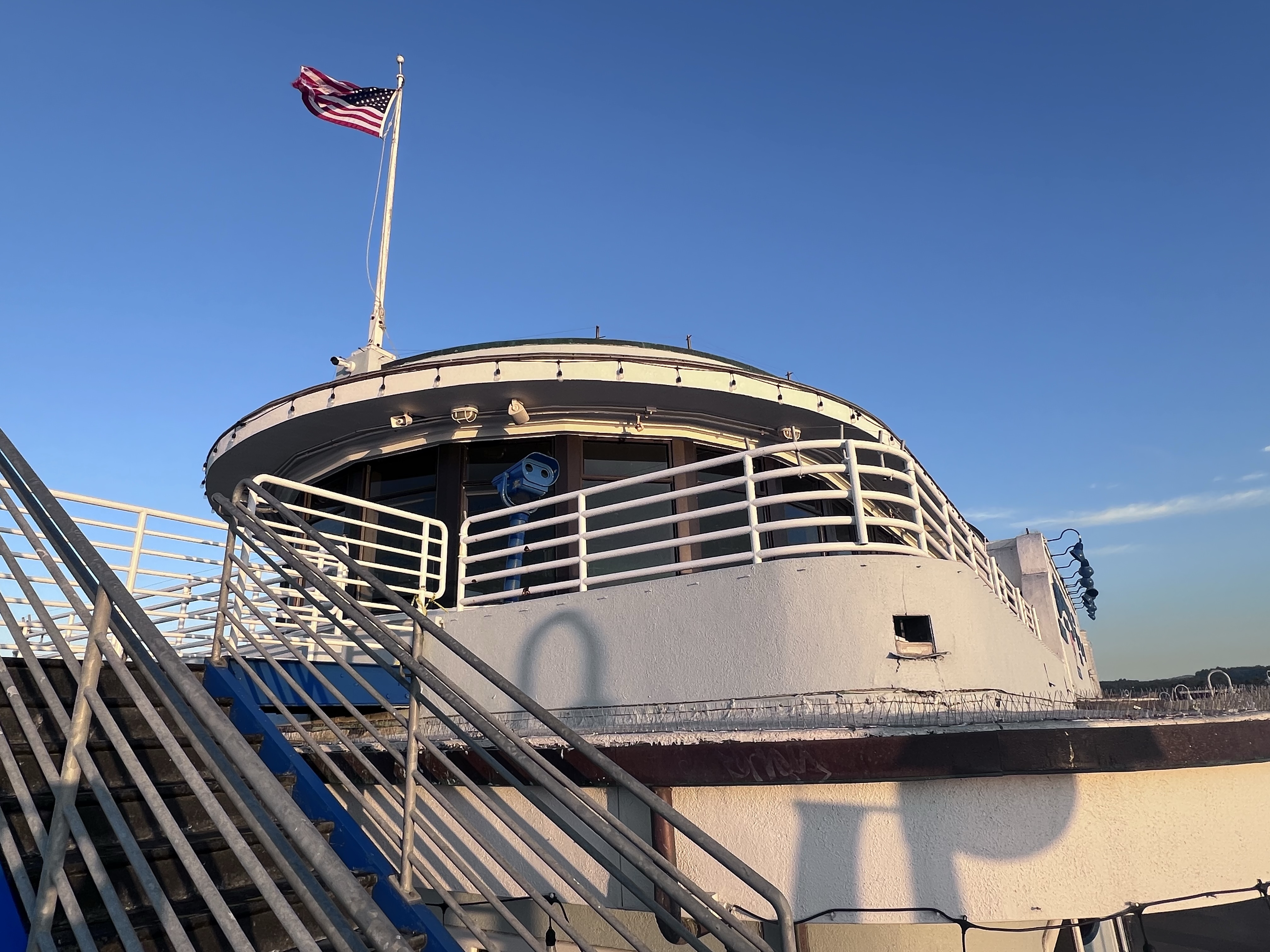
The restaurant and seafood market has expanded since then with it’s latest Streamline Moderne building.
I love sketching the curved lines and portholes of this style of architecture. This style also lends itself nicely to a continuous line sketch.
The restaurant and fish market has some cinematic pedigree as well. It was featured in the highest grossing Dirty Harry film, Sudden Impact, of “Go ahead, make my day” fame. Sudden Impact (1983), was the only film in the series directed by it’s star, Clint Eastwood.
Three scenes were filmed here. It was at the fish market that two of the baddies are employed that Harry dispatches at the Boardwalk during the climactic ending. Perhaps this is why no mention of the film is to found on the restaurant’s website.
When the filming took place in the spring of 1983, the restaurant looked a bit different. Since then, the restaurant was remodeled in its neo-Streamline Moderne style but I have not found information on when the renovation took place.