4014 would be spending two nights in the important rail hub of Roseville.
Roseville is at the base of the climb up the Sierra Nevada Mountains to Donner Pass. It is here where the tools to conquer the Donner extreme winters are kept. Across the tracks, near the depot, the spreaders and flangers could be seen. A little further down the siding, the ultimate snow fighting machine could be seen: the rotary plows.
But on this July Friday and Saturday an army of foamers, rail fans, history buffs, and the curious would be invading the city of Roseville.
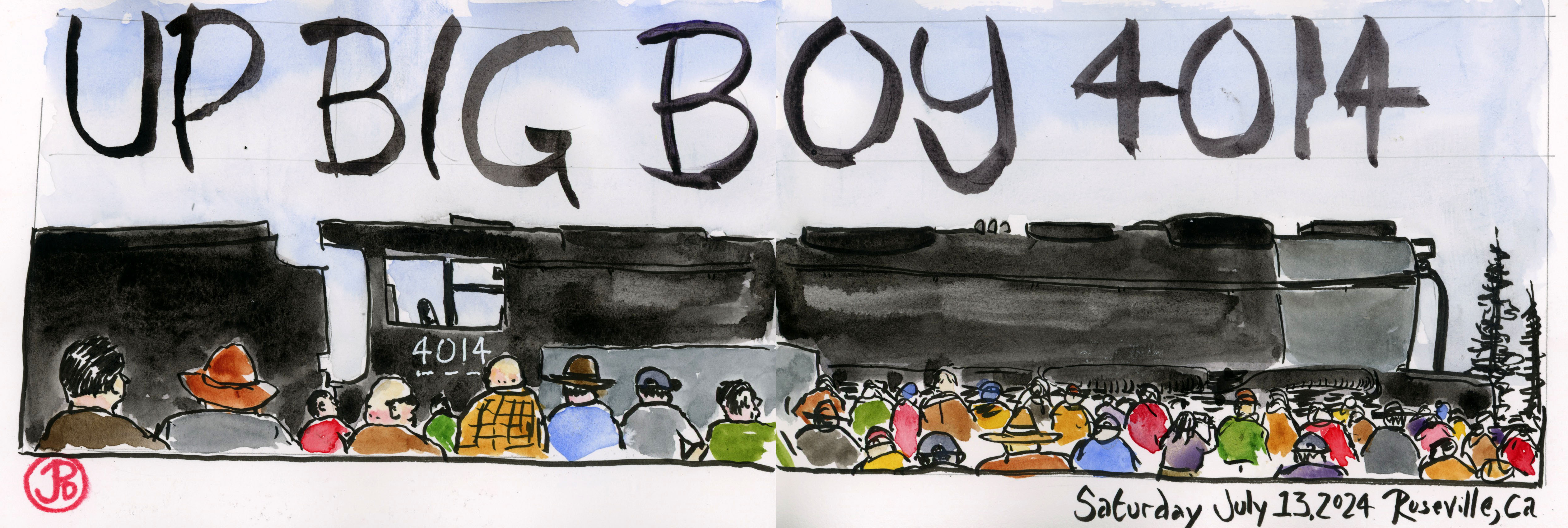
They were all here to see the largest steam locomotive in the world, Union Pacific’s Big Boy No. 4014. For the two display days the largest operable locomotive would be static and not moving. The Goliath would be brought up to steam and boiler pressure to conquer the Sierra Nevadas on Sunday.
I arrived early on Saturday to find a parking spot and to spend some quality time with the 4-8-8-4 before she, or he, was besieged.
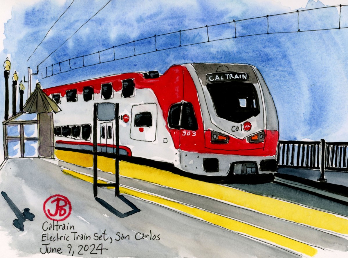
Roseville is a busy point on the railroad with many freight trains starting the climb or descending the Sierra Nevadas. The passenger service is alive and well in Roseville with the California Zephyr and the Capital Corridor stopping at the passenger depot.
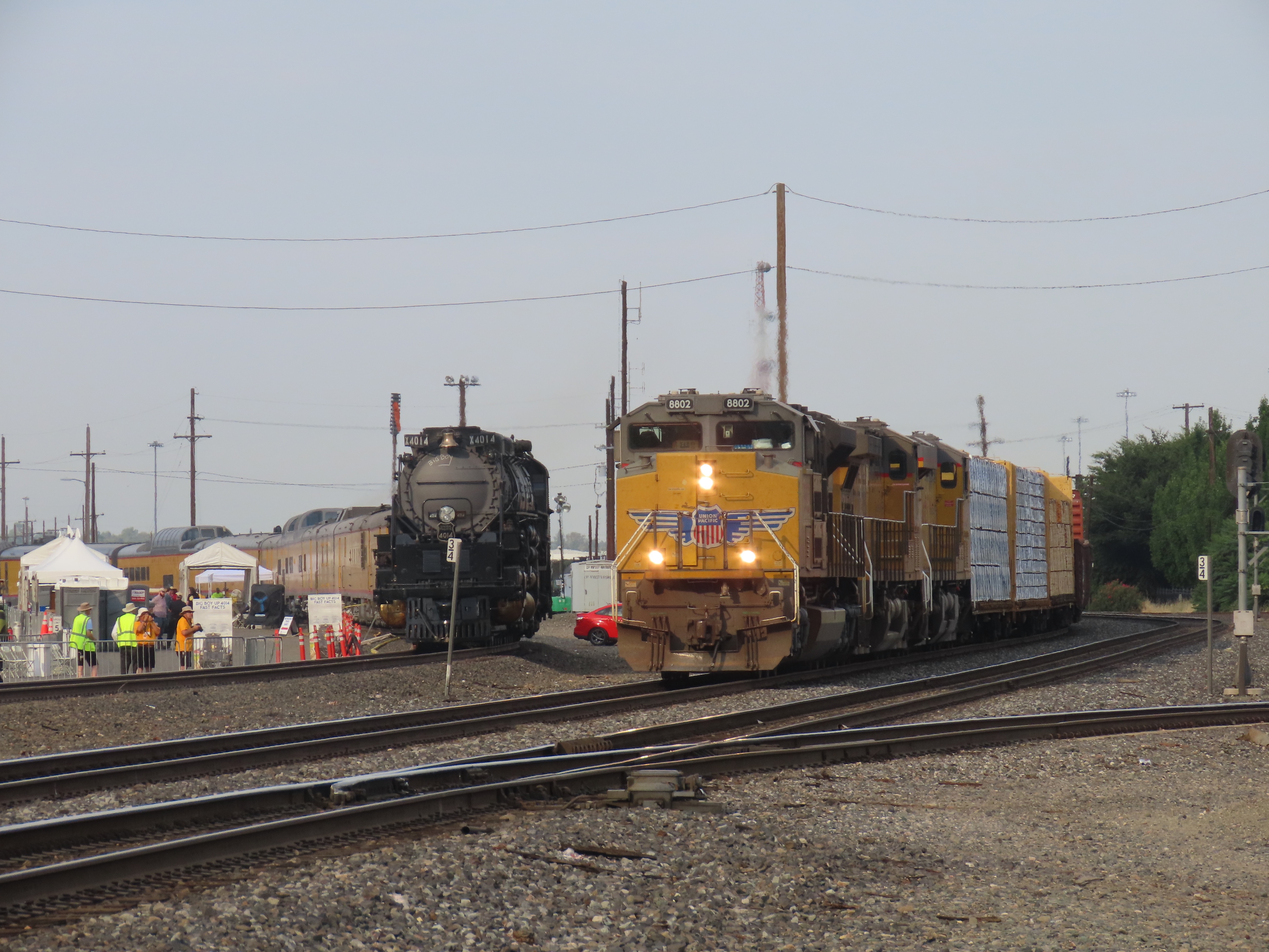
4014 now had a consist of Union Pacific passenger cars. I heard a ticket for the trip from Roseville to Reno, Nevada would set you back $700. The train was parked near the intersection of Atlantic and Vernon Streets near Southern Pacific’s 2252 and a rotary snowplow on display.
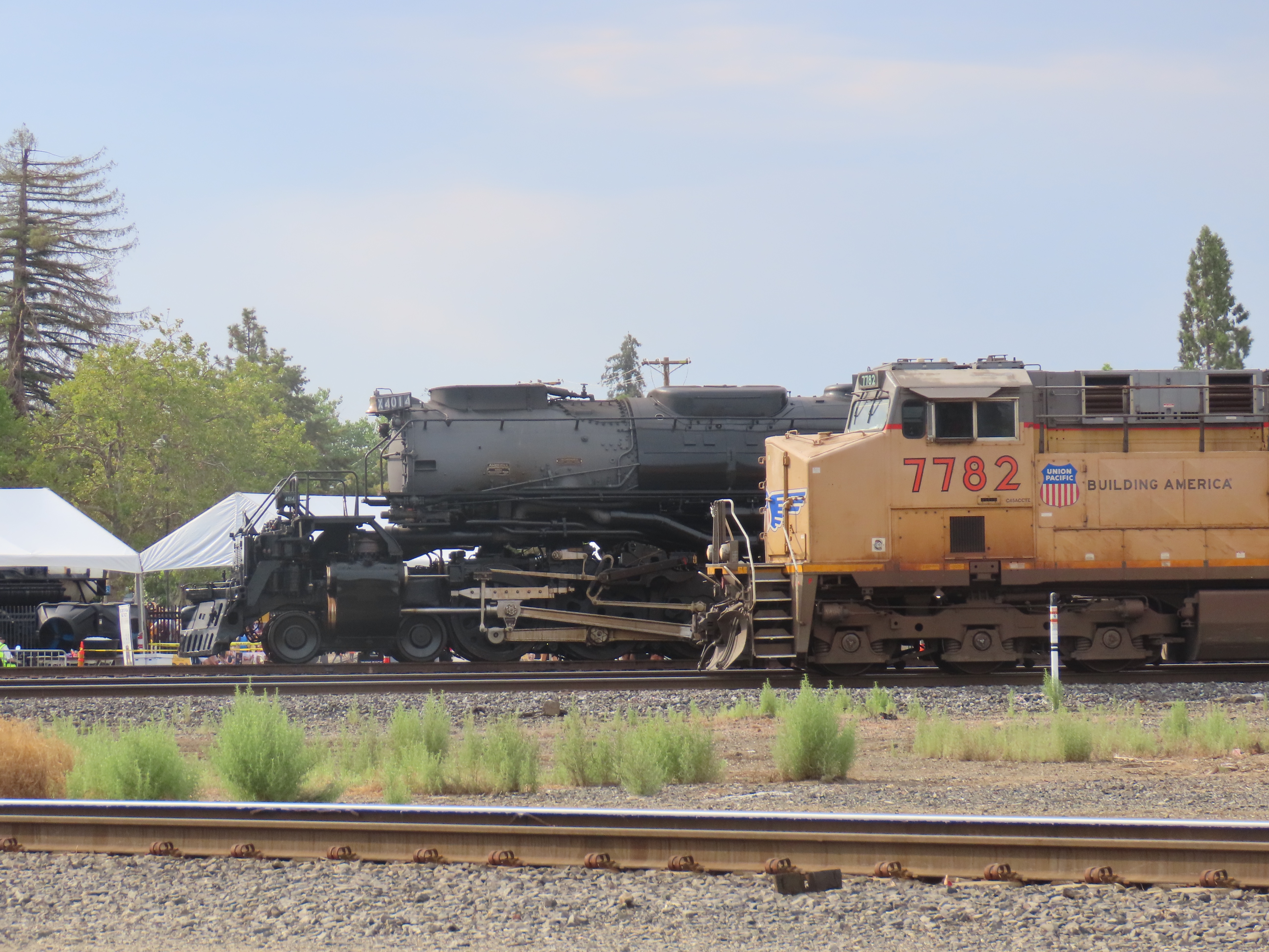
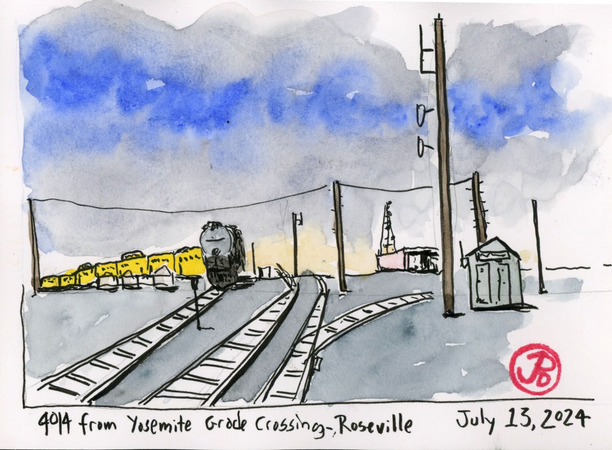
I walked to the grade crossing at Yosemite Street and looked west (towards Sacramento) and sketched 4014 and the Roseville yard (featured sketch).
The viewing of 4014 officially opened at 9:00 AM and there was already a group lined up to get a closer look at the Big Boy.
As the clock ticked closer to 9:00 AM, more and more people were showing up to see the first visit of a Big Boy to Roseville.
This important railroad town was the home of Southern Pacific’s articulated, the cab forward. These massive locomotives were designed to haul freight over the pass and the locomotive was reversed with the cab in front (hence the name) so the crew would not suffer from smoke asphyxiation while traveling through the many tunnels and snow sheds on the route. In the age of steam Roseville had two roundhouses, one was specifically designed for servicing the labor intensive cab forwards. At one point Roseville was home to 60 cab forwards.
Only one Southern Pacific cab forward still exists, the AC-12 No. 4294. She is on static display at the California State Railroad Museum in Sacramento. But unlike Union Pacific’s 4014, 4294 is not operable.
Soon it was hard to see the Big Boy through the forest of people surrounding it. So I did a sketch to capture the experience.