The town of Mendocino is really a sketcher’s paradise.
I have sketched this town many times and there are endless angles, perspectives, and hidden gems to add to my sketchbook.
As a sketcher you can either “zoom” in or “zoom” out depending on what strikes your fancy (no zoom lens required). For much of my panoramic sketches I chose to zoom out with a wide angle perspective.
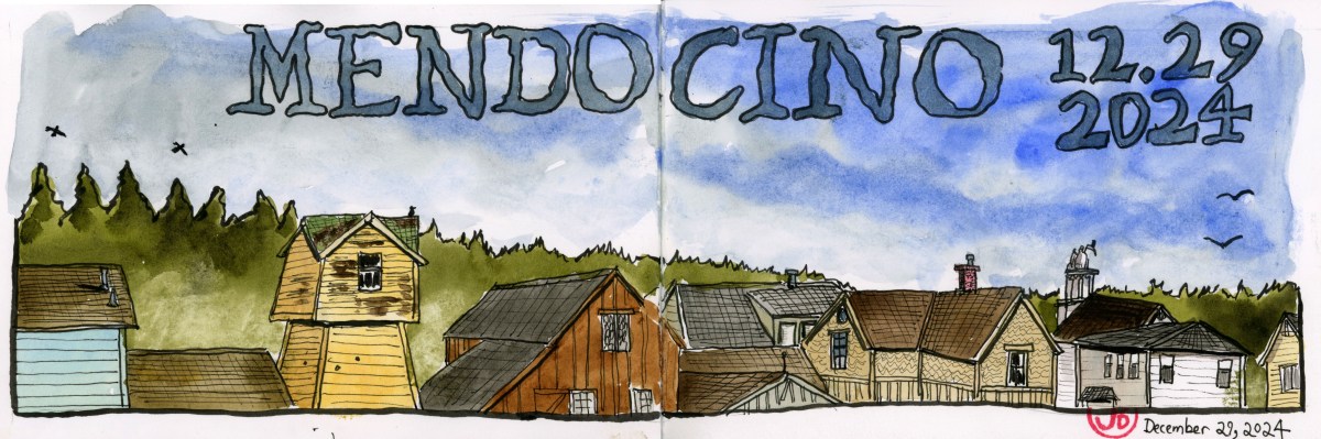
For the featured sketch I positioned myself across the street from the Blair House (used in Murder, She Wrote) right beside Heider Field. The sketch looks towards Lansing Street at a water tower, old buildings, and the Masonic Lodge. A rustic townscape.
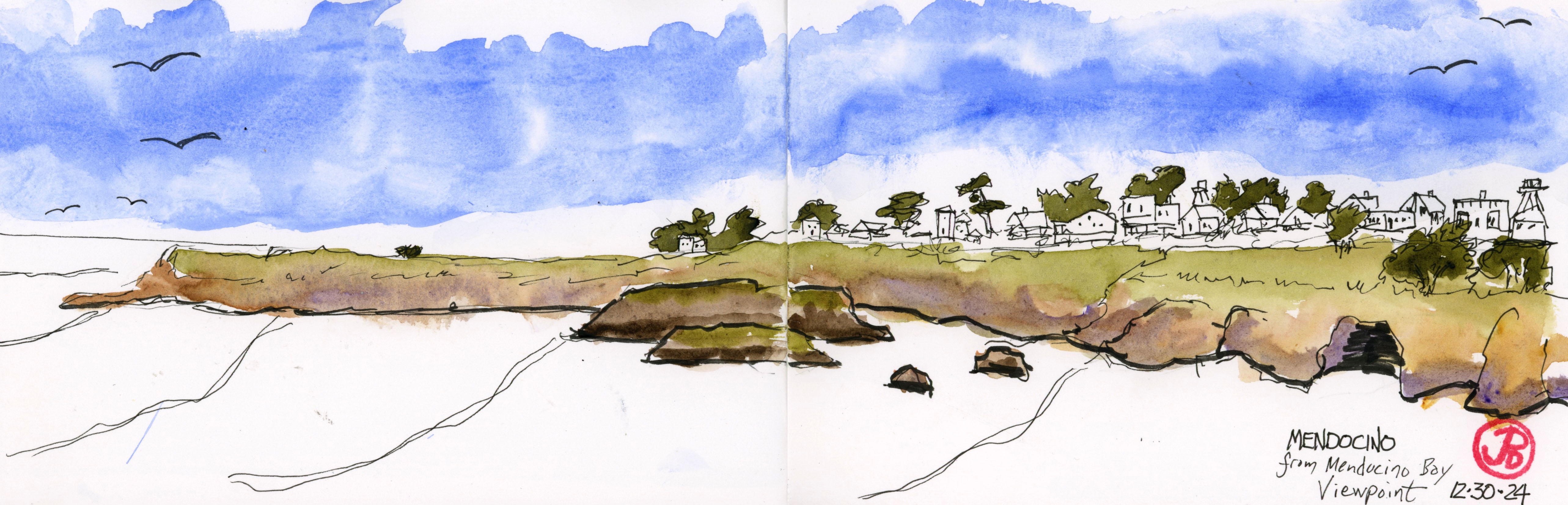
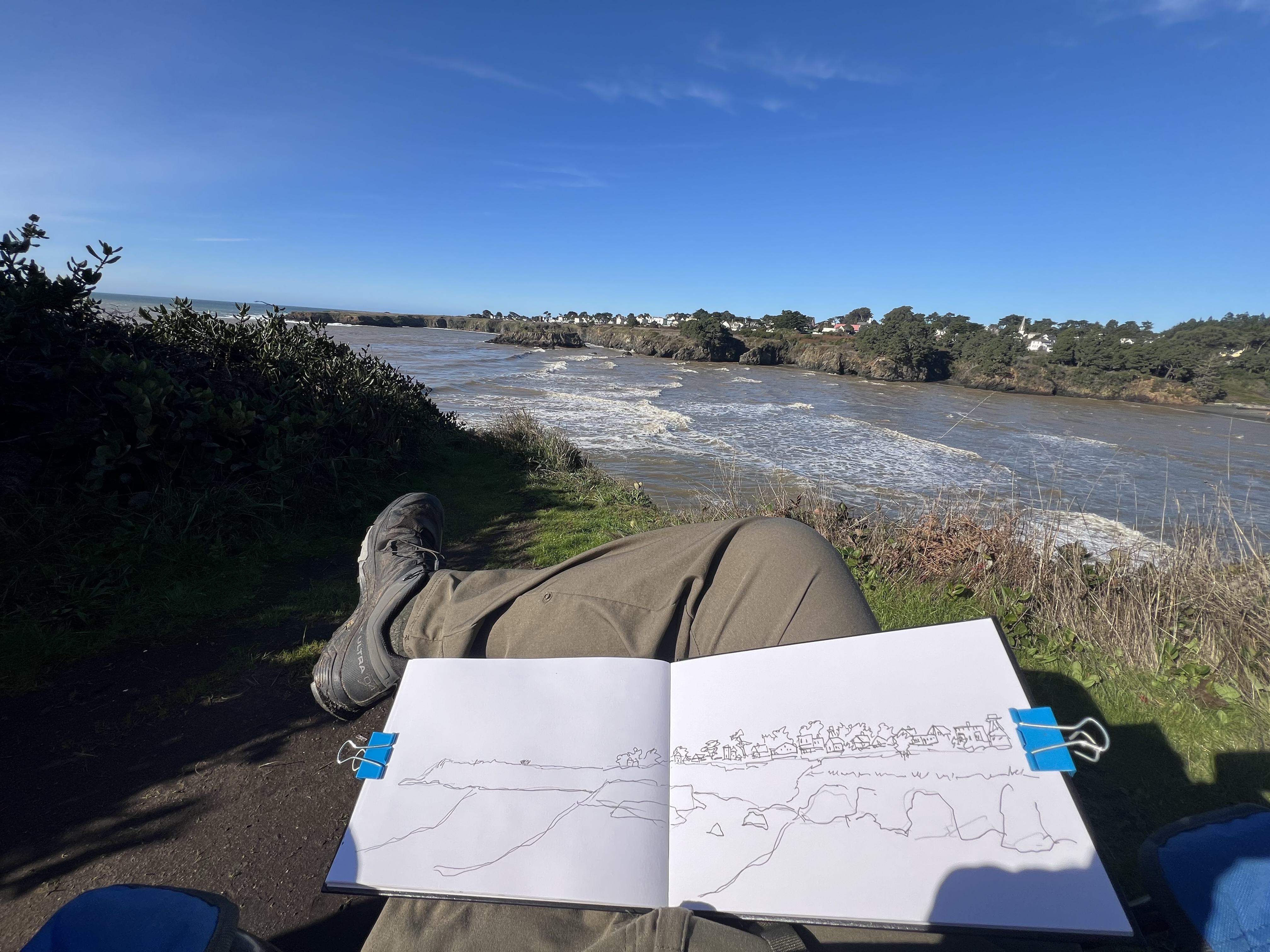
On another day I took a wide angle perspective from the small park across the Big River mouth to draw the bluffs and the town (below).
A panoramic sketch of Mendocino. What a view!
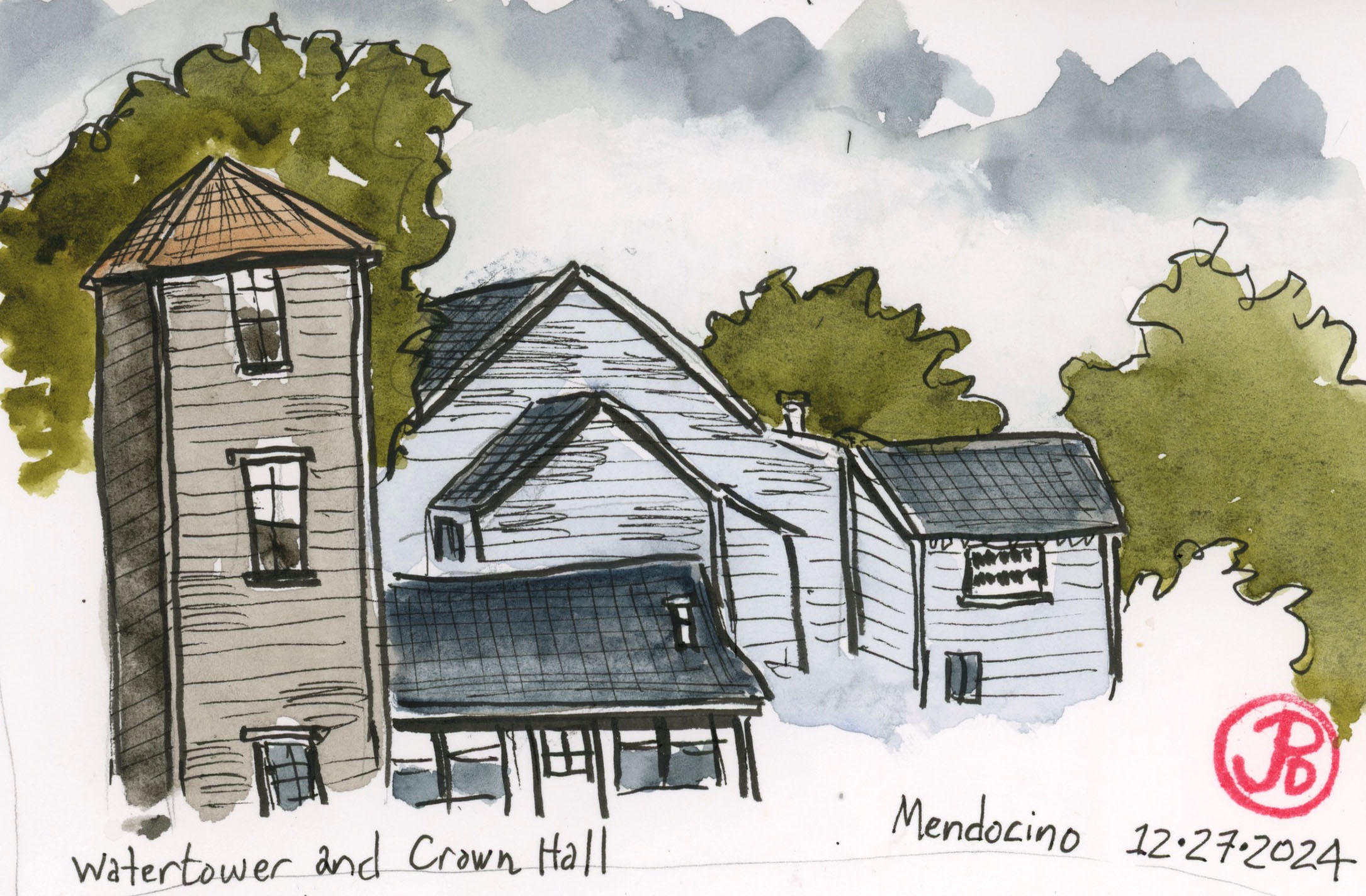
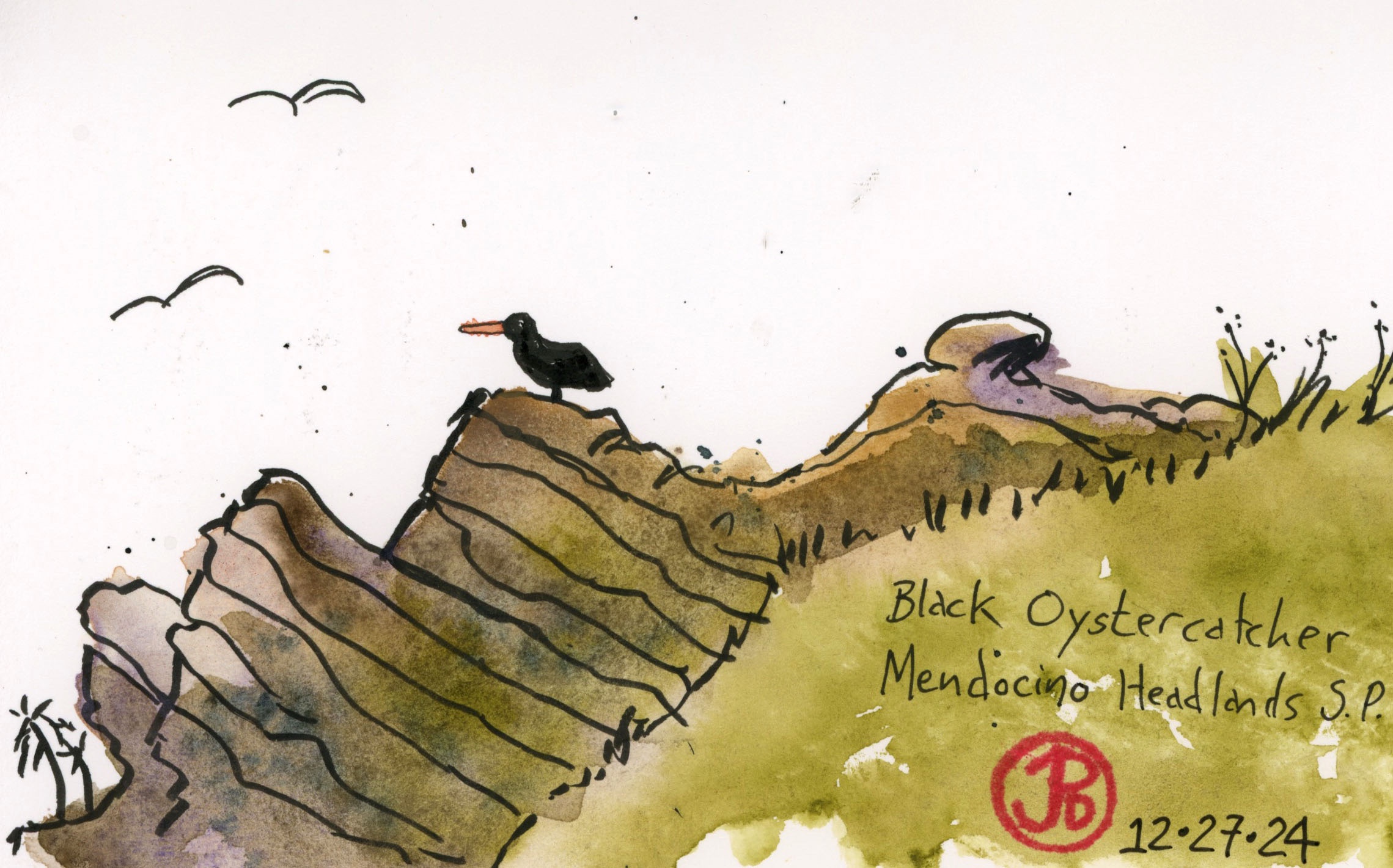
I did do a few sketches a little more “zoomed in”. One was of a water tower and the back of the Crown Hall and the other is at the Mendocino Headlands State Park and a black oystercatcher.
Black oystercatchers are easy to see at the Mendocino Bluffs.
While many painters, sculptors, and artists are attracted to the picturesque town to the south, Ft. Bragg has plenty of objects to sketch.
And I added a few to my sketchbook.
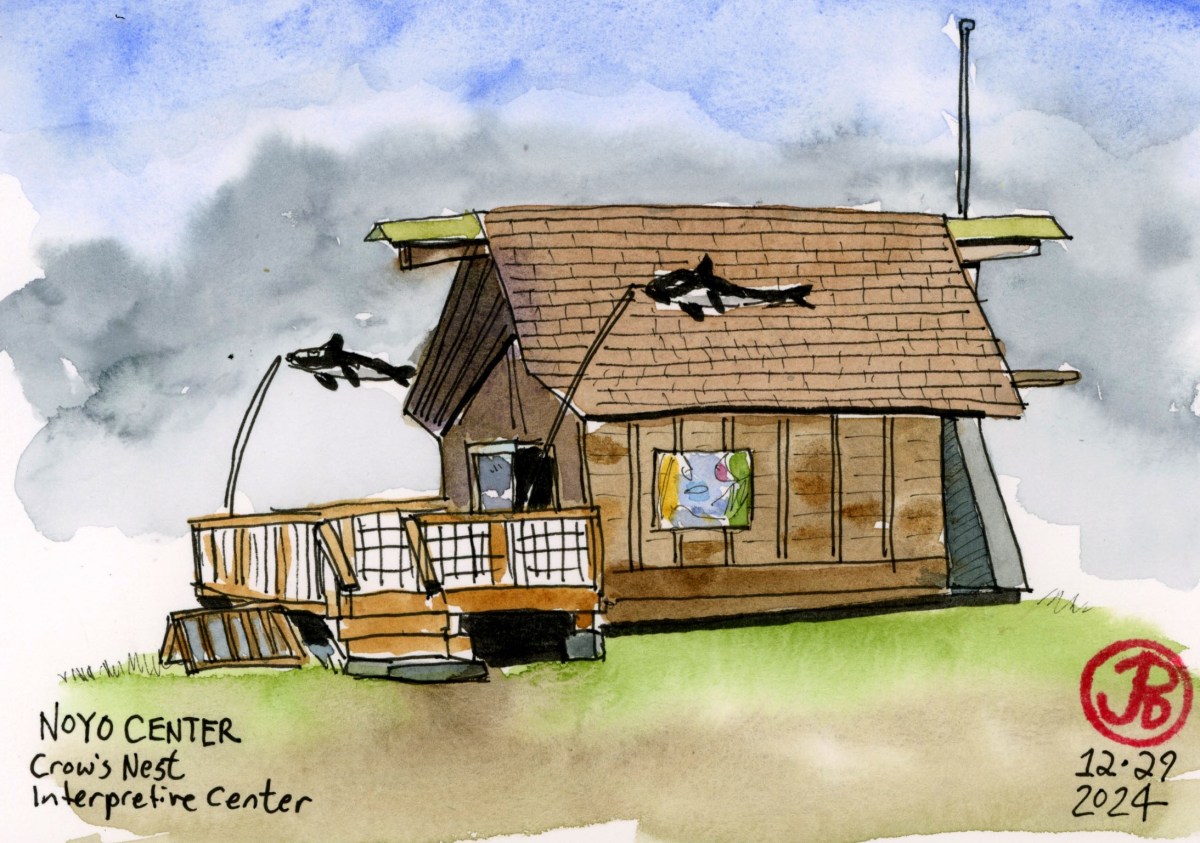
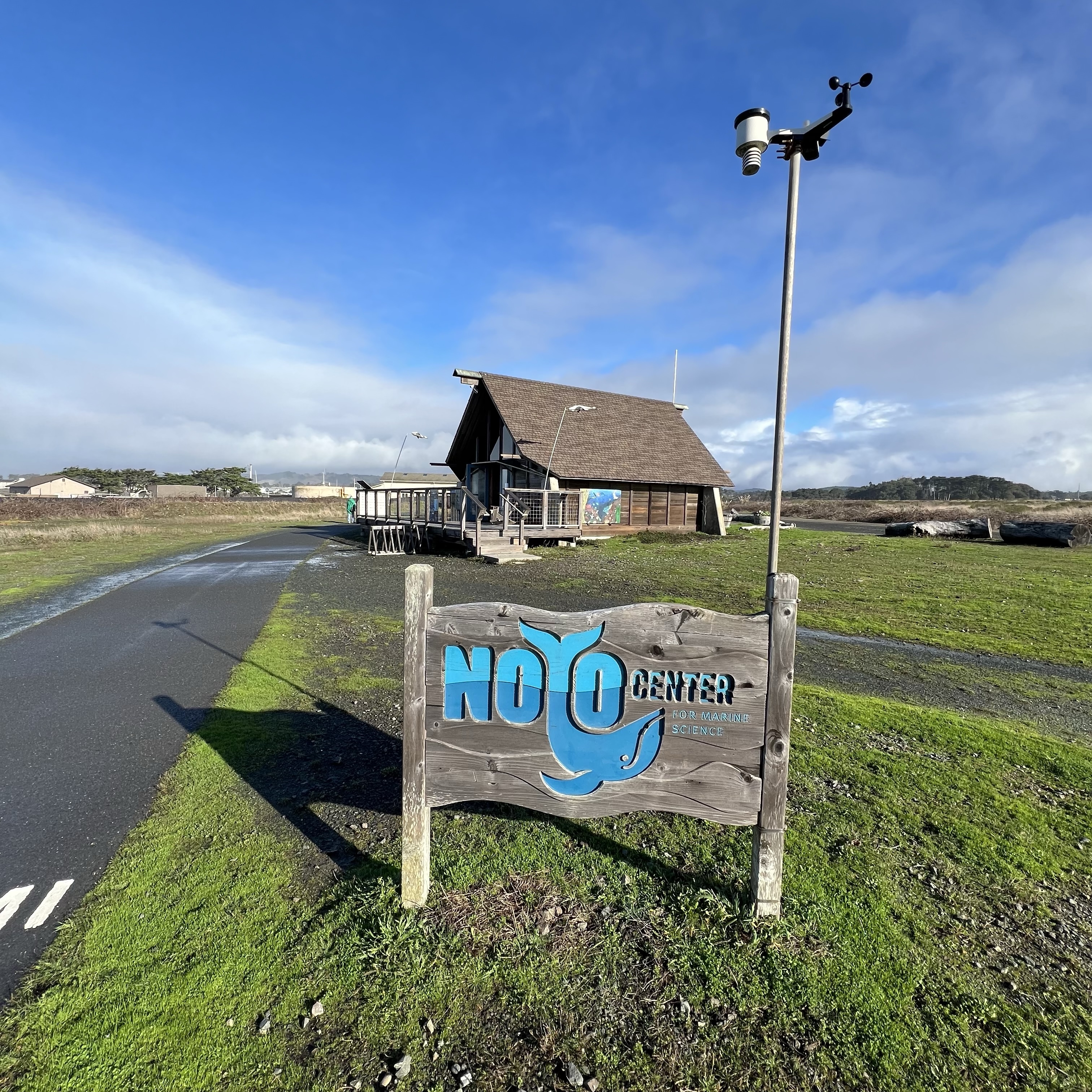
I hiked out on the Noyo Bluffs, north of the river mouth. My destination was the Noyo Center’s Crow’s Nest Interpretive Center.
This center has marine mammal skulls and bones, maps and diagrams, a tide pool tank, and a deck for whale watching.
I sat at a picnic table and sketched the interpretive center. All this hiking and sketching makes me thirsty.
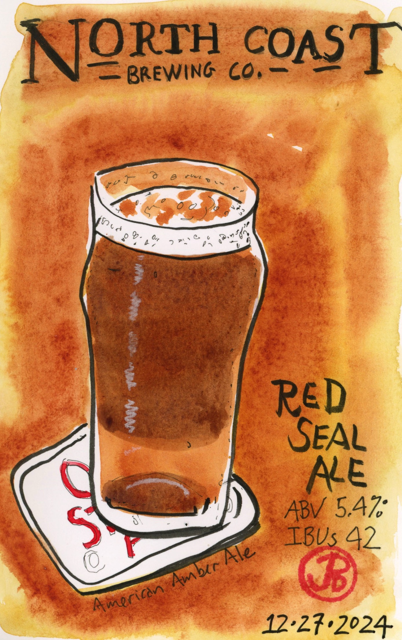
Good thing I was in Fort Bragg, because on Highway One, near the train depot, is the North Coast Brewing Company. Across the street from the brewery is their pub where you can get a bite to eat and sample their brews.
North Coast has been brewing since 1988, well before I could legally drink. They always have creative names for their brews such as Scrimshaw, Old Rasputin, Brother Thelonious, Old No. 38 Stout (named after a California Western Railroad steam locomotive), and my favorite Red Seal Ale (sketched above).
I have enjoyed sketching in the town of Fort Bragg, just to the north of Mendocino.
The genesis of Fort Bragg as a town was the huge strands of coast redwoods and lumber mills sprang up to harvest the timber.
Now how to get the lumber to markets like San Francisco to help build the growing city?
Lumber was shipped south by boat but once the California Pacific connected Ft. Bragg with Willitis and the Northwestern Pacific, milled lumber could be shipped by rail.
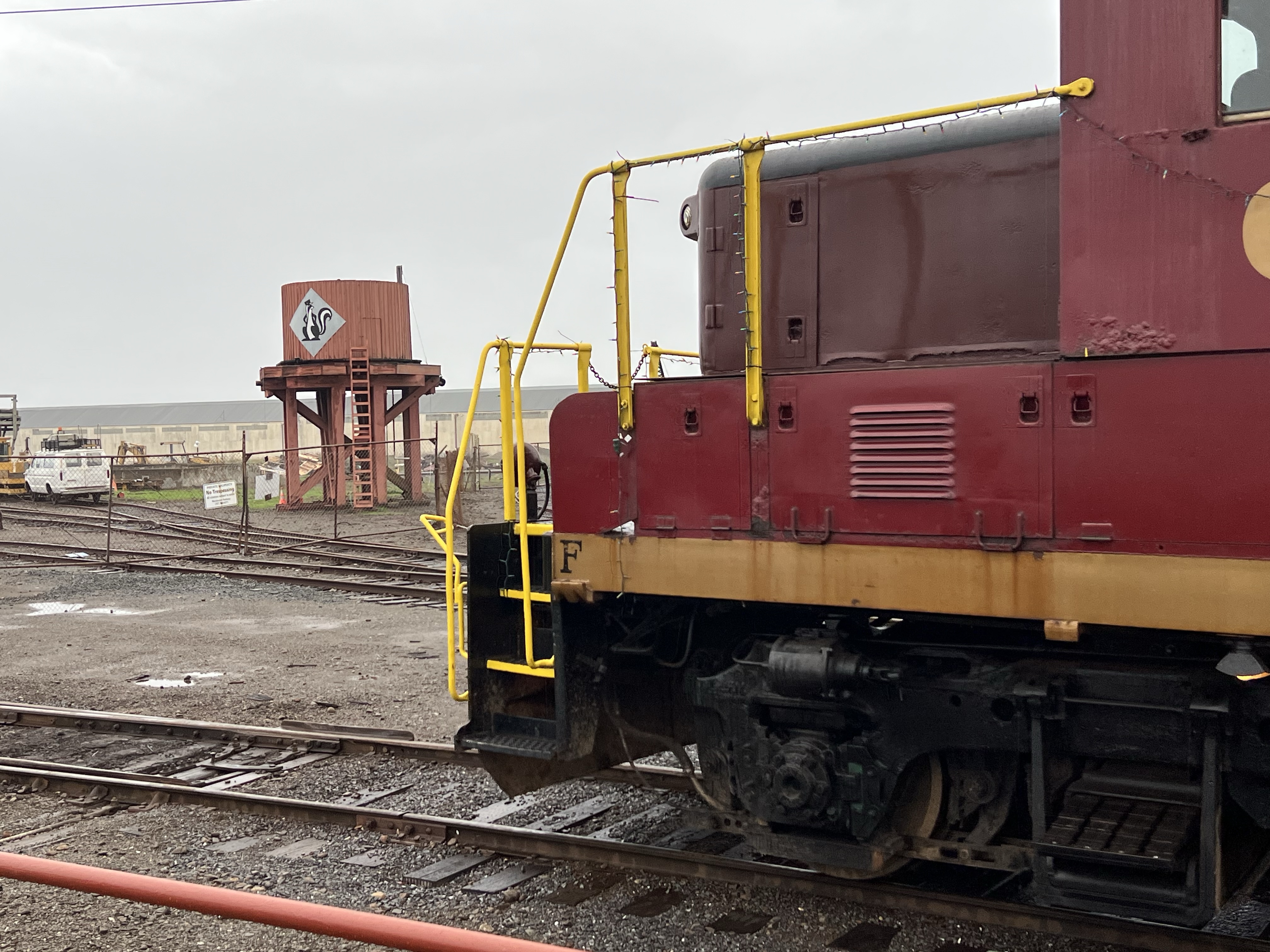
The rails of the past lives on as the Skunk Train. Now a tourist railroad.
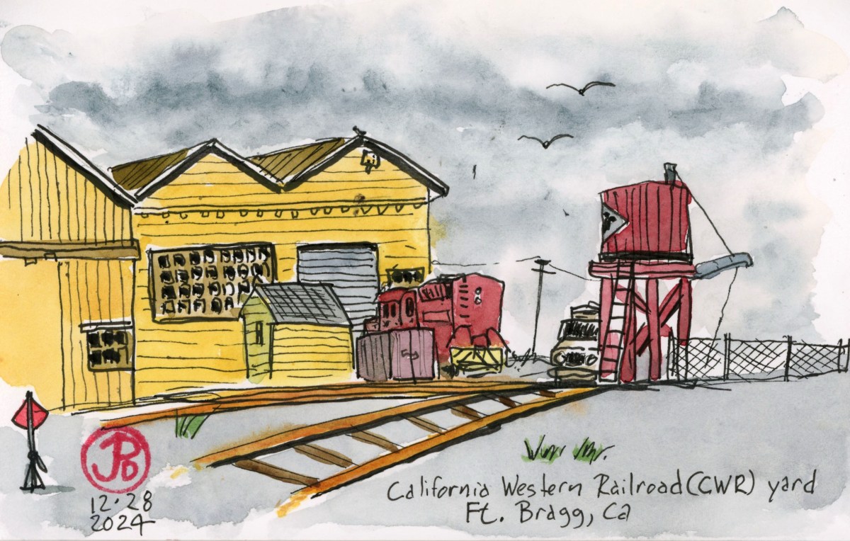
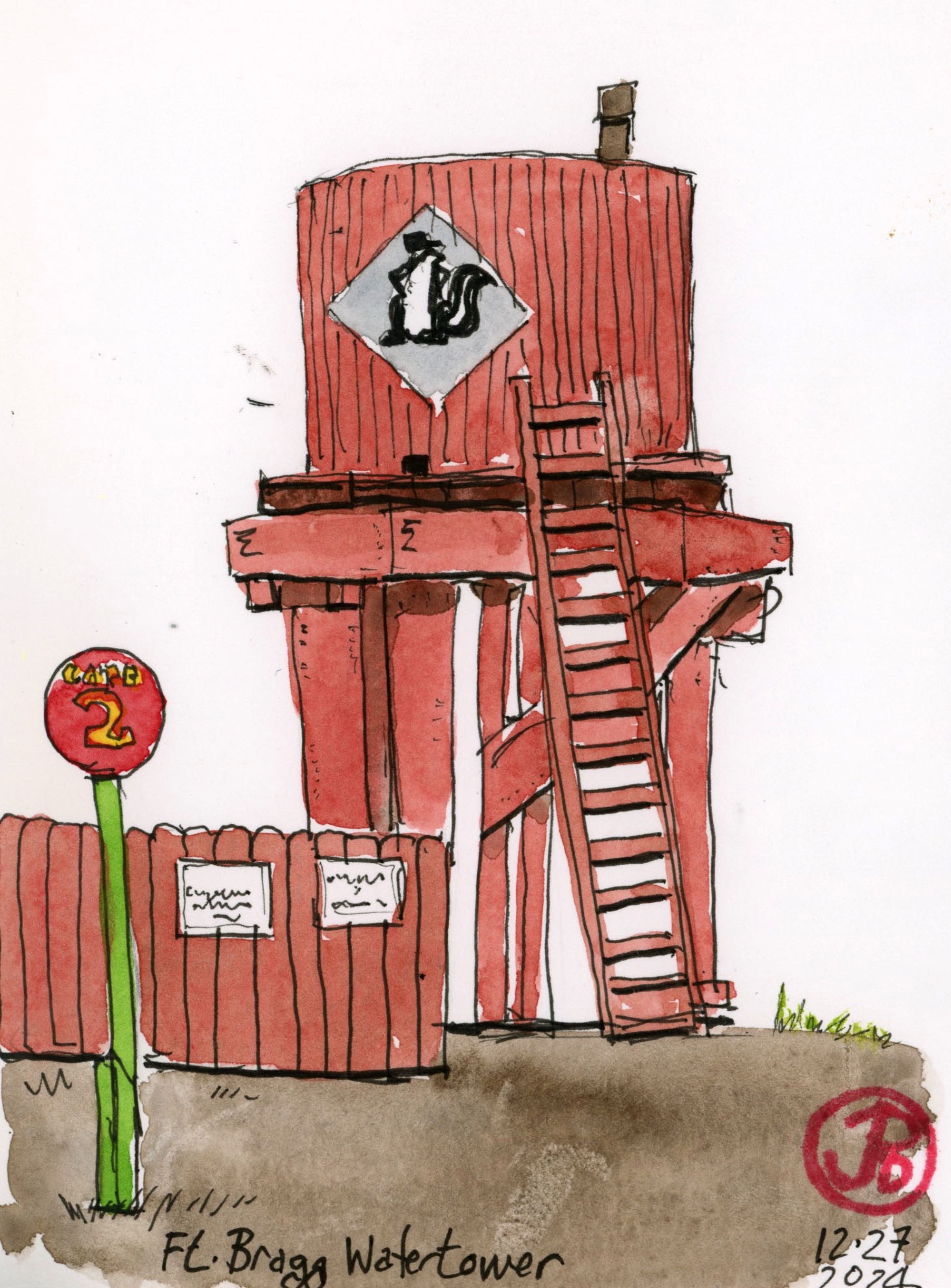
I did some sketching at the train yard (featured sketch) including the water tower with the skunk logo.
The past and present of Skunk Train. A diesel pulling into the station with a water tower of the steam age in the background.
My Christmas morning tradition does not entail waking early and opening gifts under the lighted Christmas tree but waking early and heading west to find some feather gifts at Gray Lodge Wildlife Area.
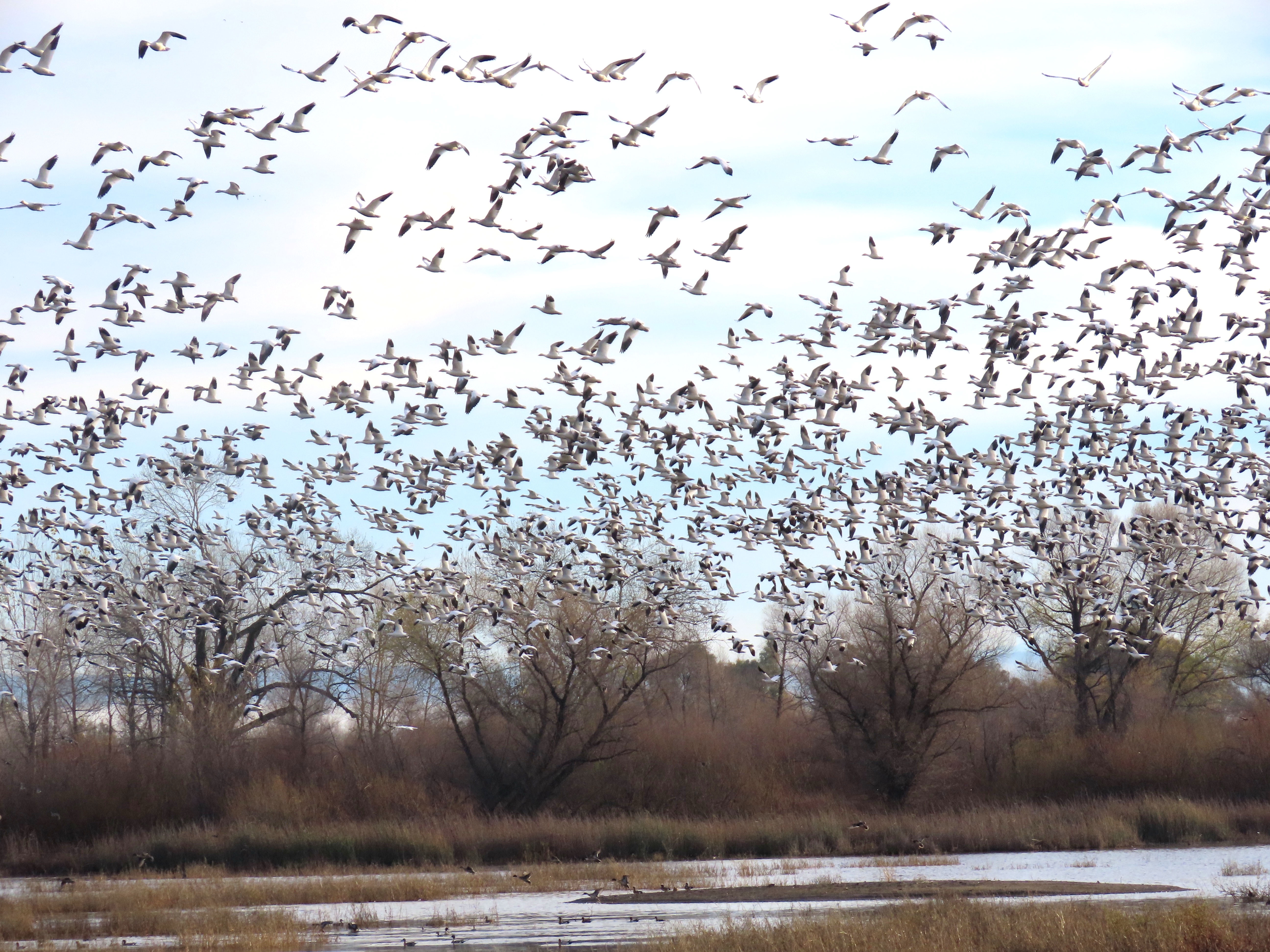
The main draw of driving the auto route is the thousands of wintering waterfowl that can be seen from my movable birding blind.
There is nothing like the sight and sound of thousands of snow geese bursting into flight!
There also a lot of wintering raptors at Gray Lodge. On my visit I saw red-tailed, red-shouldered, sharp-shinned, and Cooper’s hawks, peregrine falcon, American kestrel, and bald eagle.
While not considered a raptor, there are plenty of turkey vultures about, including this one sunning itself.
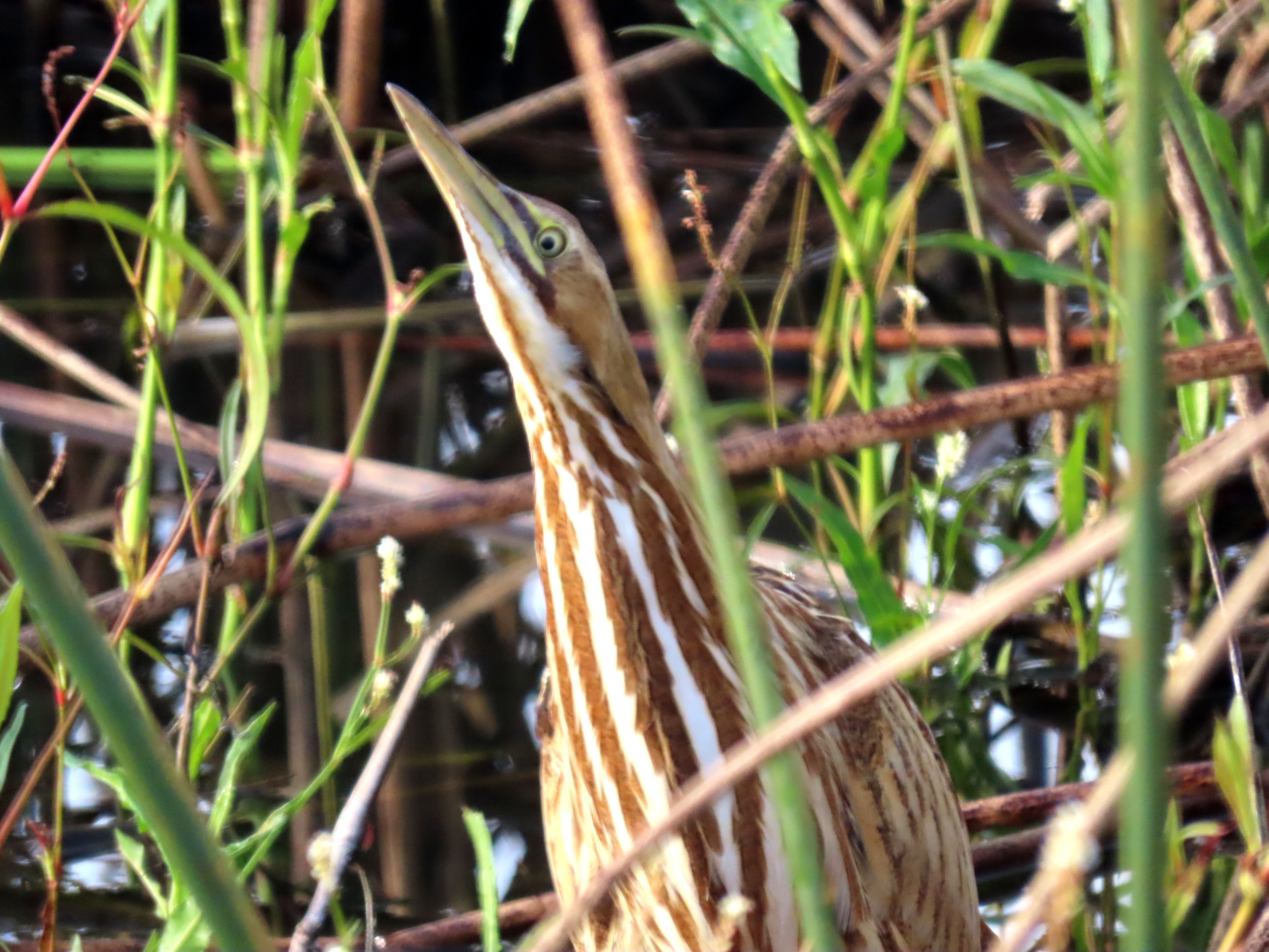
During my morning visit I notched up 63 species of birds including some species that I don’t regularly encounter at Gray Lodge including the secretive sora and American bittern (below).
On a Thursday morning I was on the hunt for two sculptures near the Ferry Building at the base of Market Street.
It wasn’t going to be a tough hunt because sculptures don’t move.
About a week earlier I had done some sketching at the de Young Museum. I had sketched two pieces in the Sculpture Garden by Henry Moore and Clars Oldenburg.
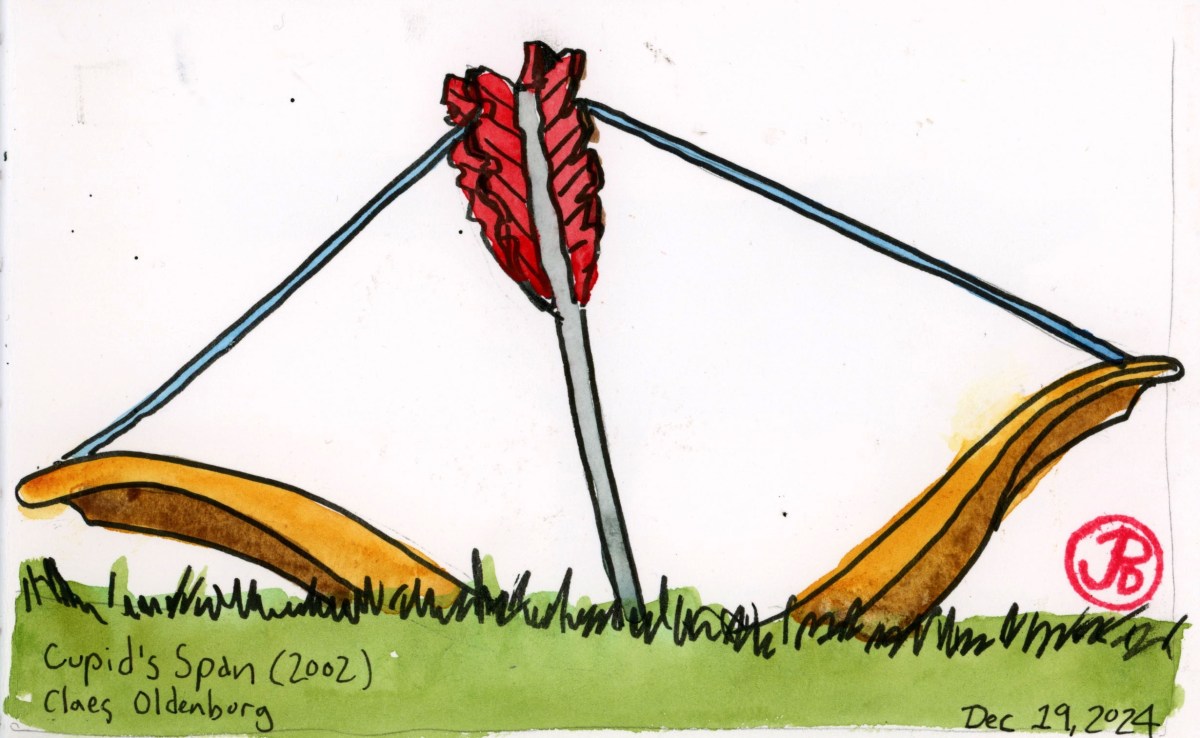
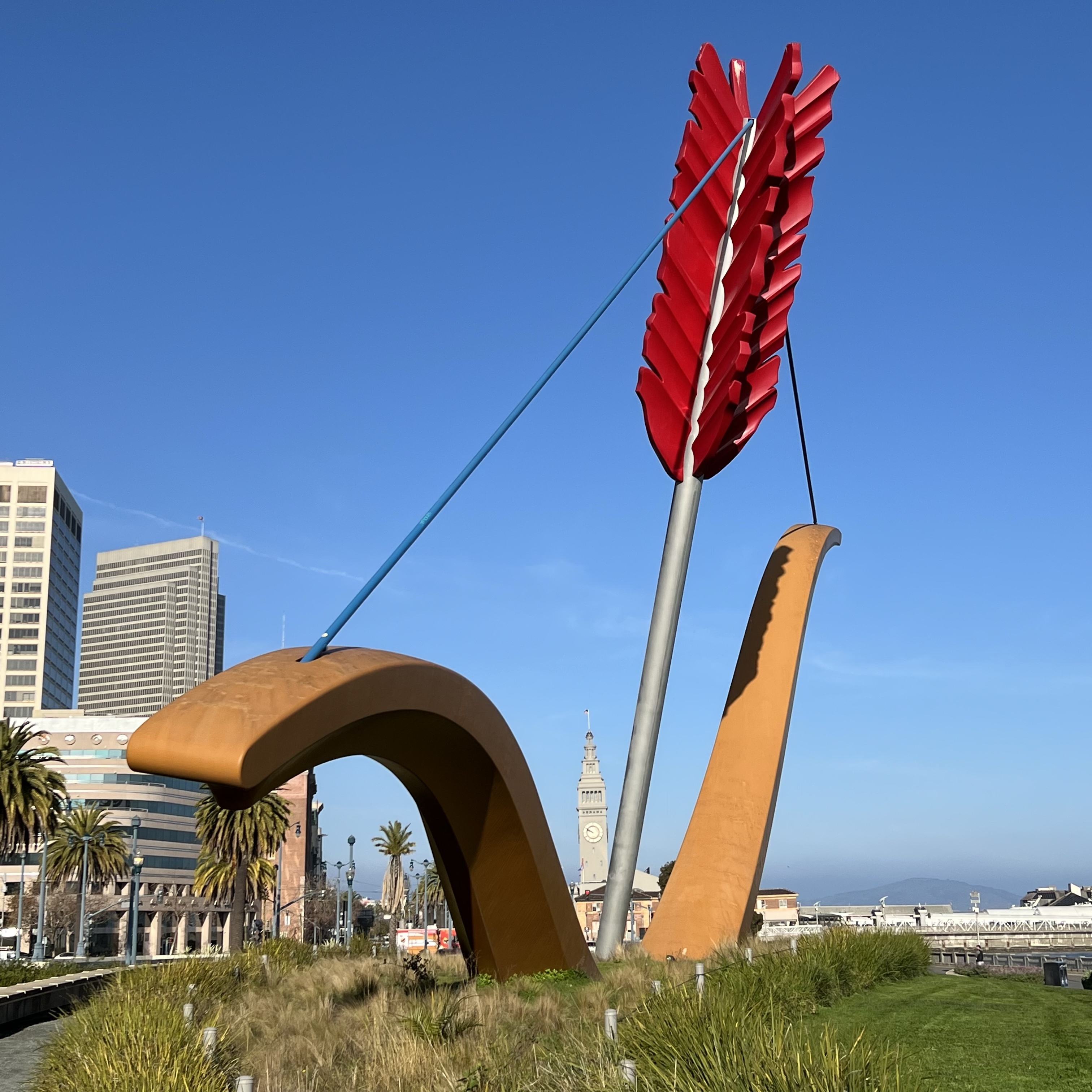
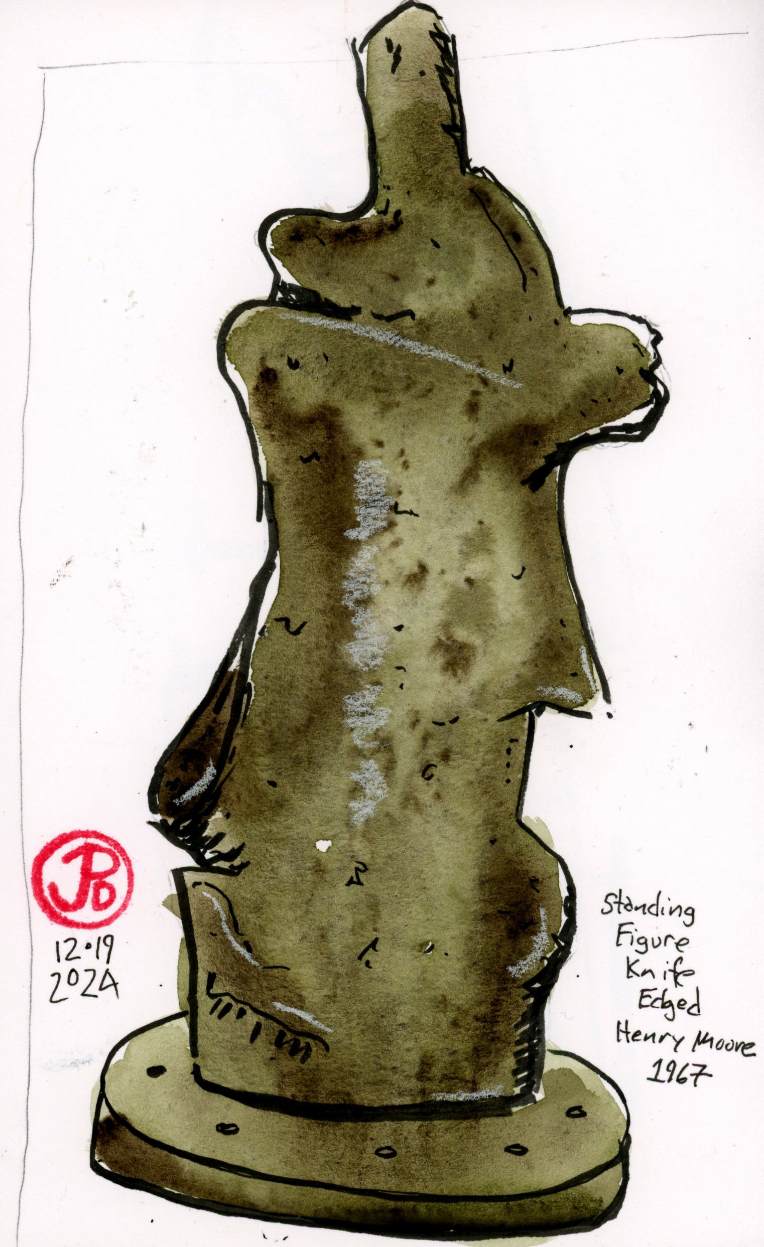
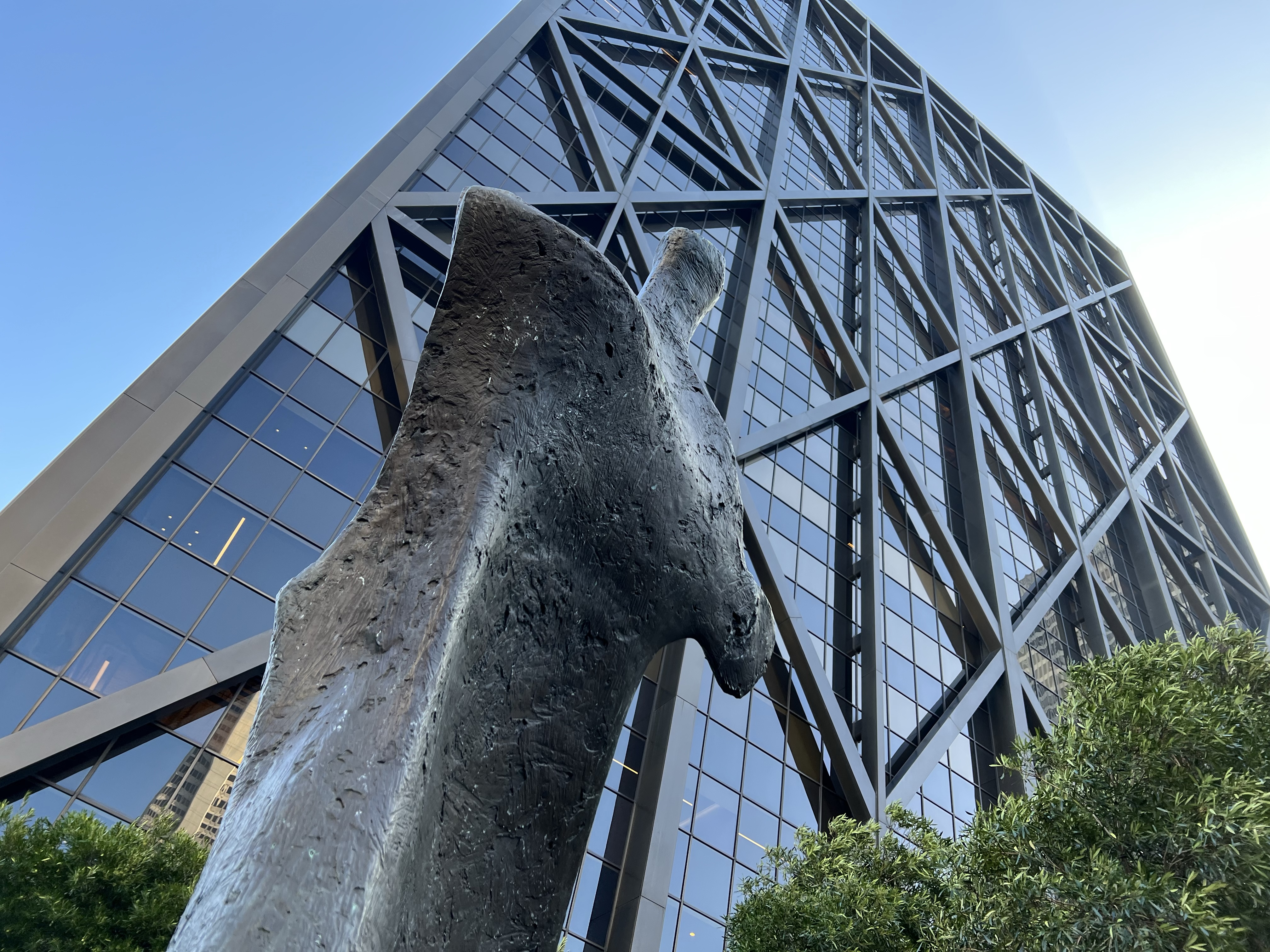
There were other pieces by these artists in San Francisco. One, Cupid’s Span (Oldenburg), near the Bay Bridge and the other Standing Figure Knife Edged (Moore) at Maritime Plaza. Both were within easy walking distance.
Oldenburg’s bow with the Ferry Building in the background.
I took the N Judah towards the Caltrain station and 50 minutes later Cupid’s Span appeared to the left. This was really Muni front door service to this large piece of outdoor public art.
Riding Muni after experiencing the spectacular trams of Oslo over the summer made the City by the Bay’s transit system seem amateurish and unreliable. We could certainly learn something from Europe’s exemplary transit. If you want to be late for work, take Muni!
I sat in the little park before Cupid’s Span. I liked sketching the curves of the bow and the feathers of the arrow. I have always wondered at the meaning of an arrow pulled taunt against a bowstring aimed into the earth. Still wondering what, if anything, it means.
After sketching I headed along the Embarcadero past the Ferry Building. My destination was Maritime Center near the Embarcadero Center (featured in Coppola’s The Conversation).
I was searching for the Yorkshire sculptor Henry Moore’s piece Standing Figure Knife Edged. This was a bit of public art that took a bit more searching than Oldenburg’s oversized bow and arrow.
Adding another Henry Moore sculpture to my sketchbook.
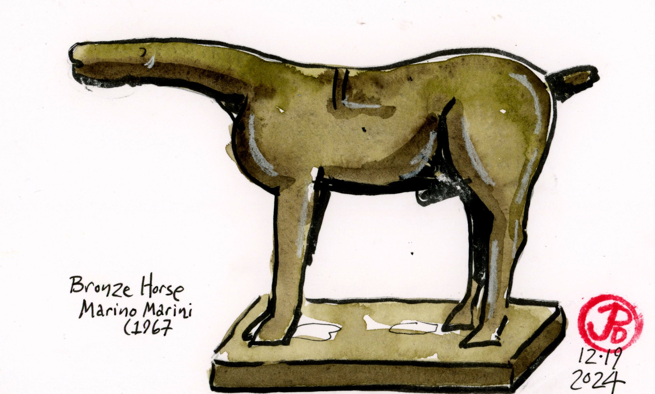
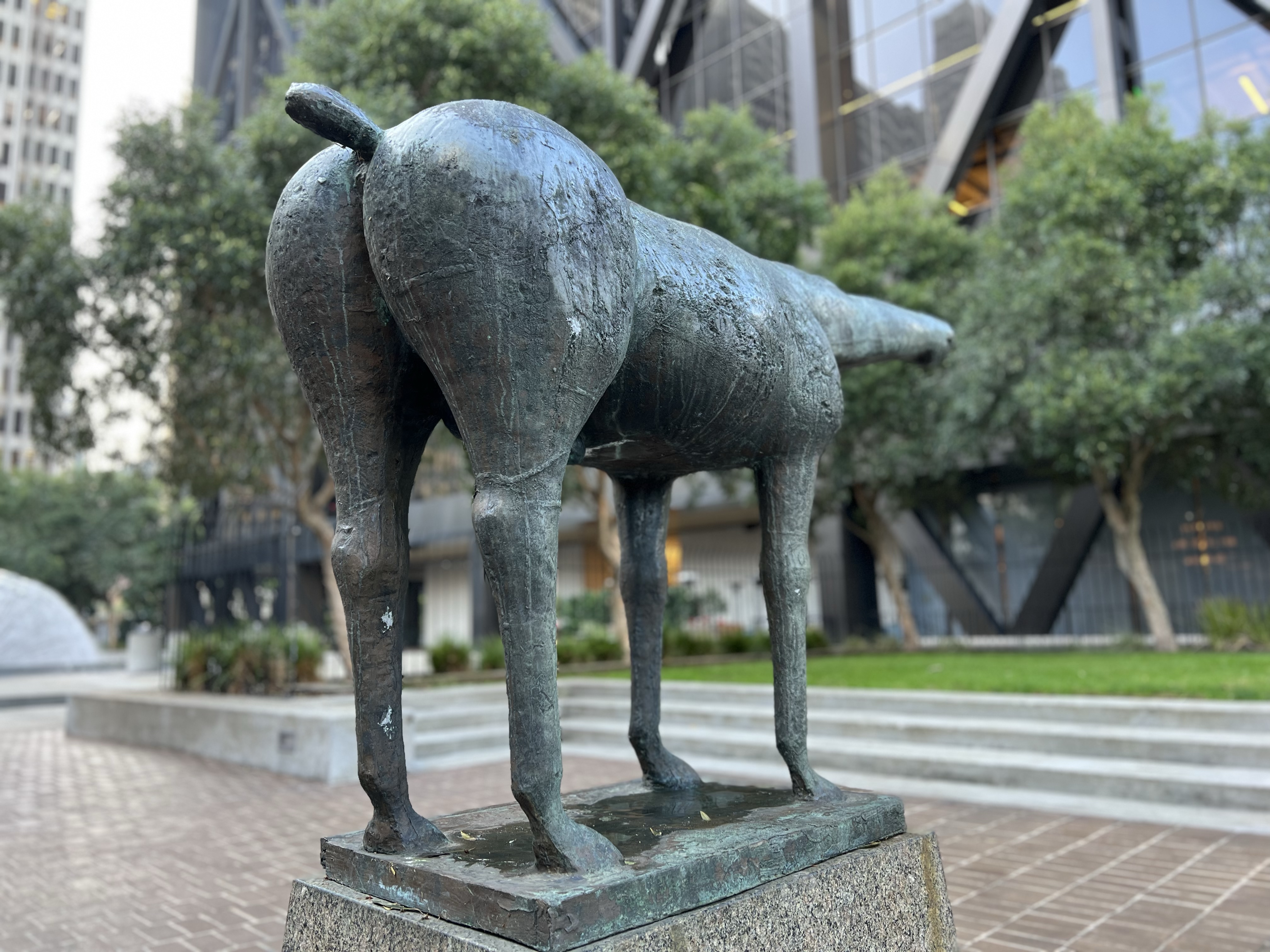
After sketching Moore’s piece I wandered to the other side of the plaza and found another whimsical sculpture, Bronze Horse by Italian sculptor Marino Marini. The sculpture looks like a giant anteater crossed with a horse.
Ever since my babysitter let me stay up and watch Halloween on television (mom sure knew how to pick a babysitter), I have loved the films of John Carpenter.
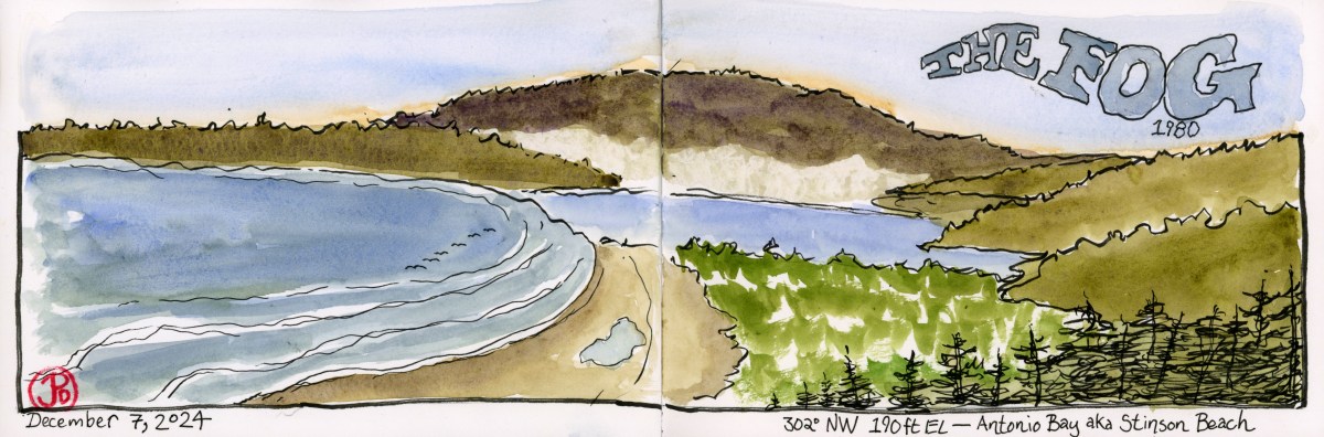
One of Carpenter’s lesser known films was filmed on location in the Northern Bay Area. This is The Fog (1980).
This paranormal ghost thriller was filmed in Marin and Sonoma Counties, north of San Francisco. I wanted to revisit some these beautiful locations and do some Saturday morning sketching so I headed north over the Golden Gate Bridge.
The fictional town of Antonio Bay were really the west Marin towns of Stinson Beach, Olema, Pt. Reyes Station, and Inverness.
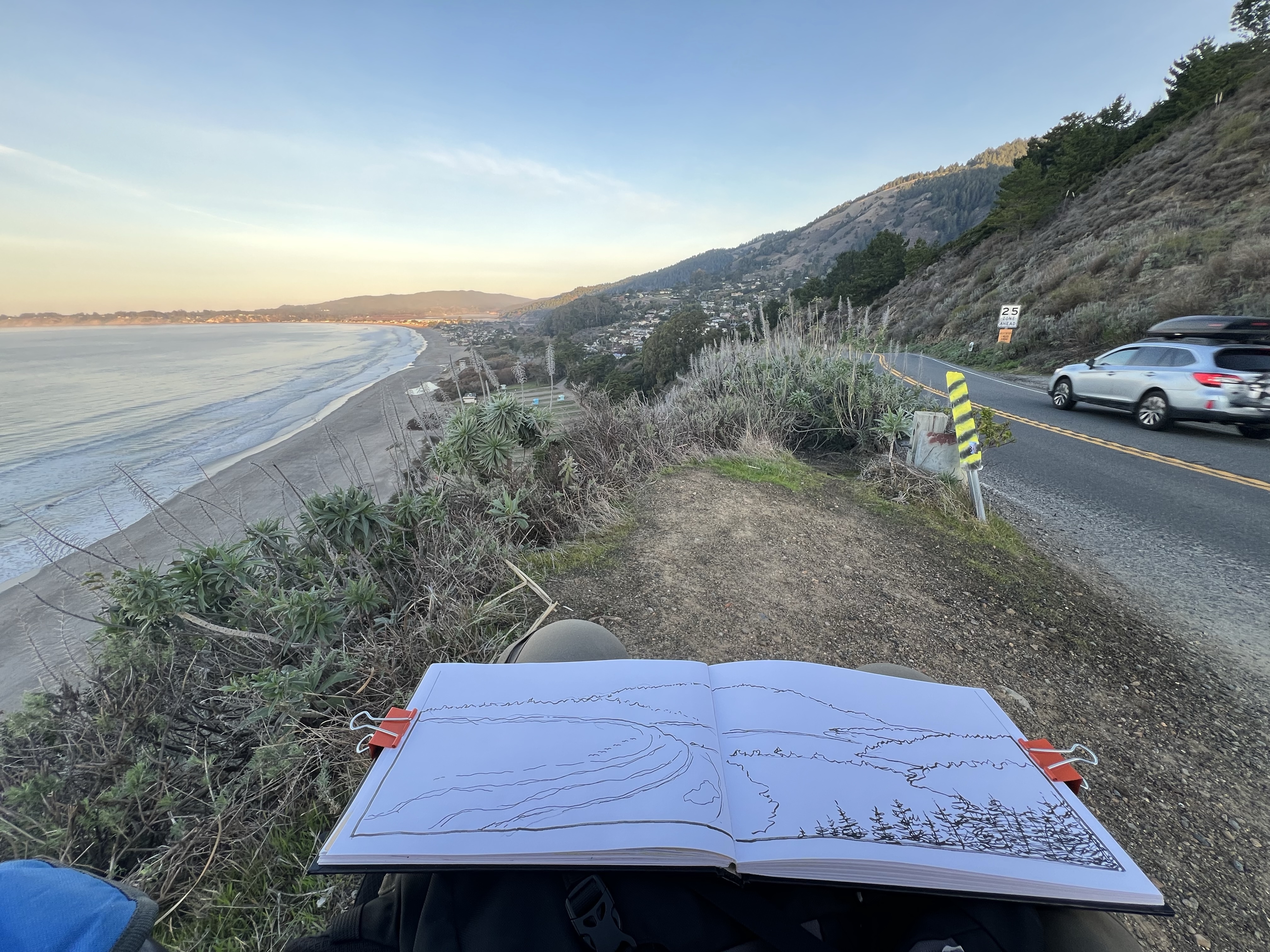
My first stop was Stinson Beach, or more accurately just southeast of Stinson Beach on Highway One.
About 50 minutes from leaving my Sunset digs, I was sitting in my sketching chair sketching the town of Stinson Beach.
The scene before me that I was adding to my panoramic sketchbook was the same view used for the title sequence for The Fog.
After finishing my sketch (featured sketch), I drove north on Highway One through Stinson and then skirted the shoreline of Bolinas Lagoon on my way to Olema.
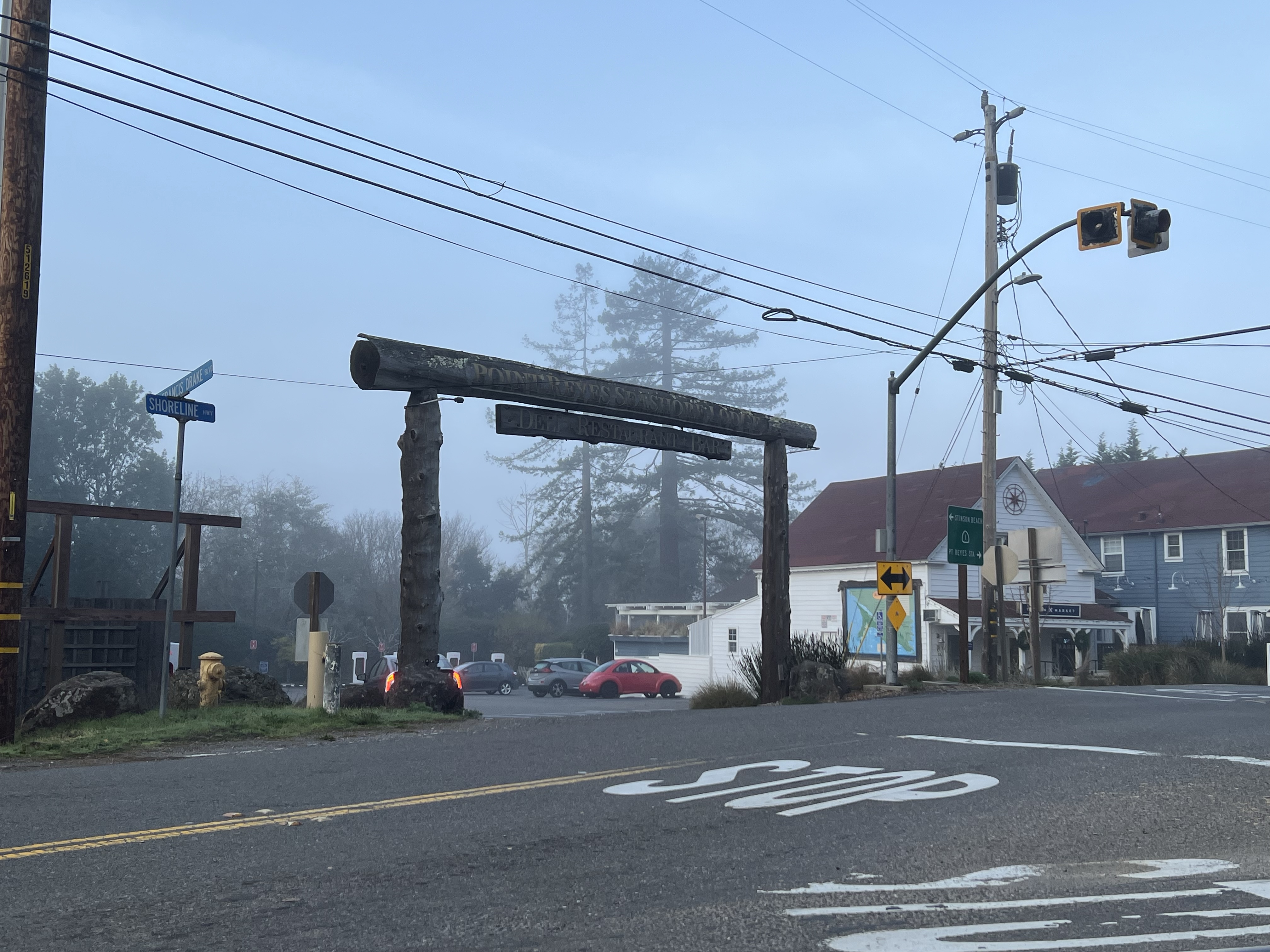
Scenes were filmed in this area at the junction of Highway One and Sir Francis Drake Boulevard. The location featured two generations of scream queens who happen to be mother and daughter: Janet Leigh (Psycho) and Jamie Lee Curtis (Halloween). Neither did much screaming in The Fog.
Olema parking lot. The parking lot and the bar in the blue building to the right were used as filming locations in The Fog.
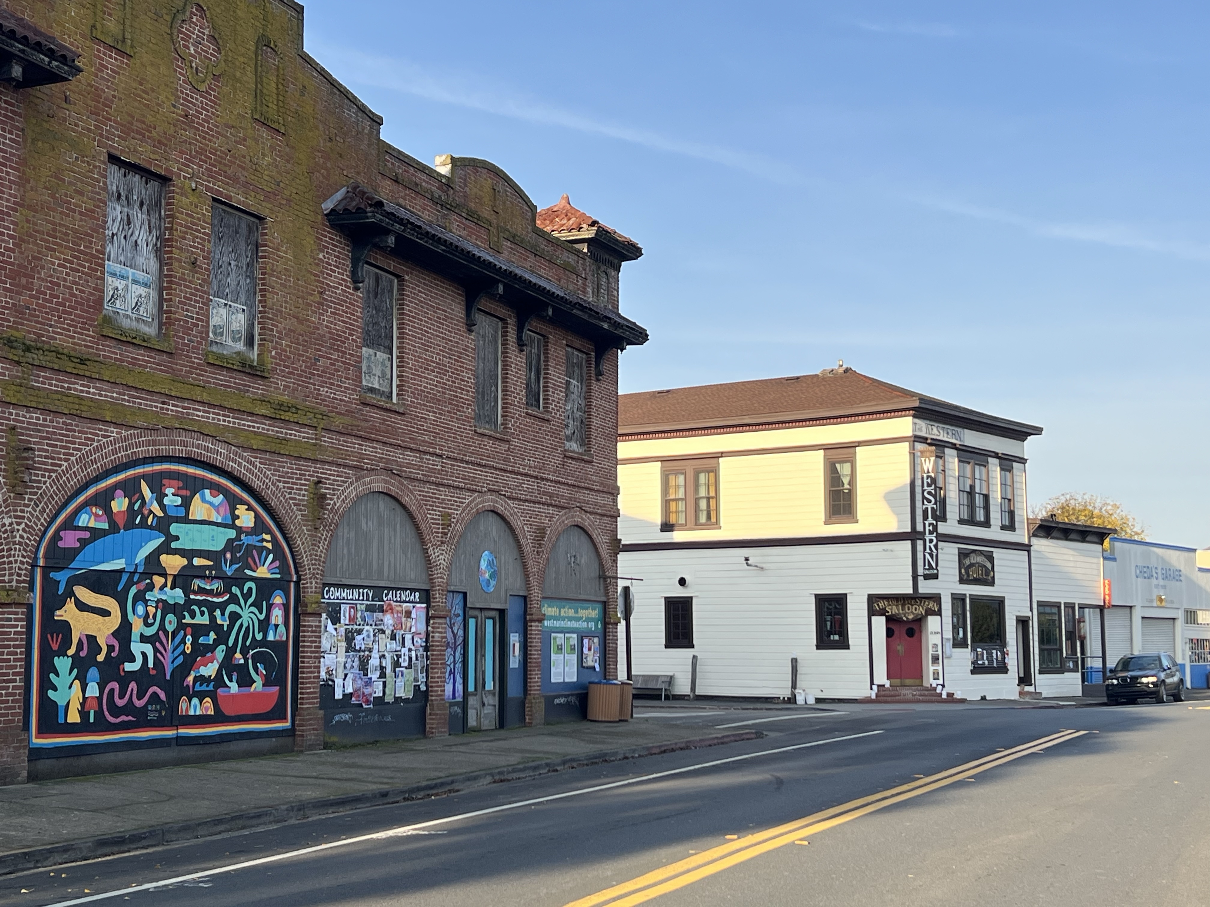
I continued on to Pt. Reyes Station where the “downtown” of Antonio Bay was filmed. The Fog demonstrates the patchwork nature of how location filming is used to create one whole location is is not usually geographically accurate.
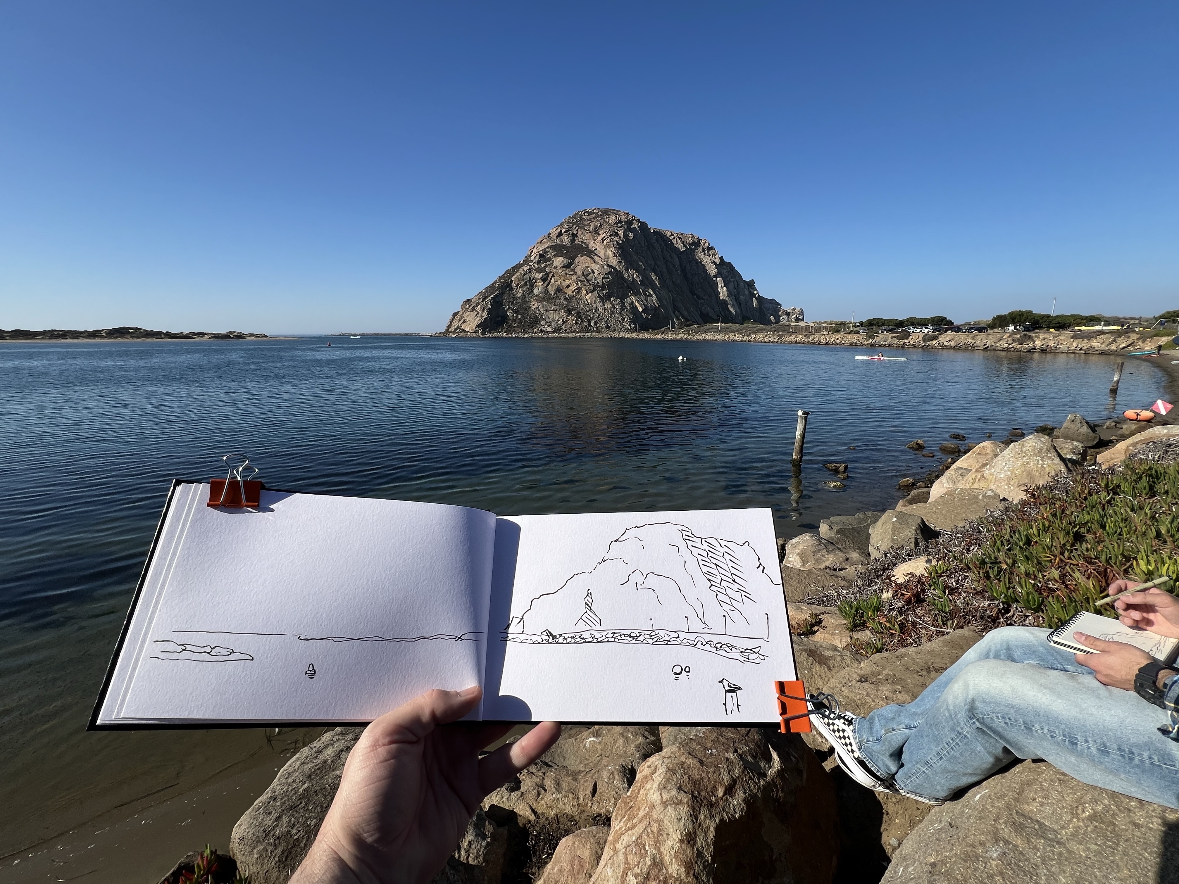
On a SLO Saturday morning with a breakfast at the Copper Cafe at the Madonna Inn (celebrity sighting: Steve Perry), Grasshopper and I headed out west past the Men’s Colony to do some birding-hiking-sketching at Morro Rock.
The 581 foot tall Morro Rock is a volcanic plug on California’s coast. A volcanic plug is the extinct neck of a volcano. It is a prominent landform that is a beacon for wildlife. The extinct volcano formed about 23 million years ago.
We birded around the rock. Avian highlights included white-throated swift, Bewick’s wren with common loons on Morro Bay and willets, black oystercatchers, and brown pelicans on the breakwater.
Around the base of the rock were “No Climbing” signs because Morro Rock is a peregrine falcon reserve. On our visit there were no signs of peregrine falcons.
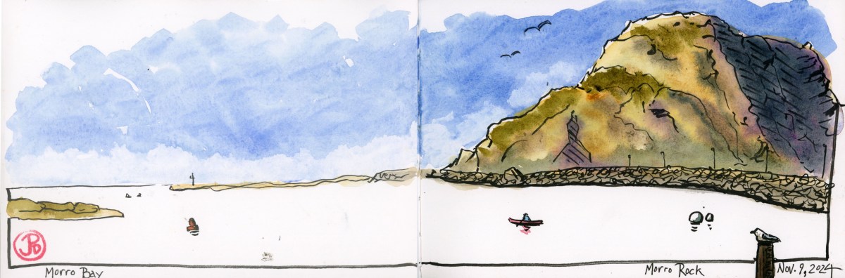
Sketching Morro Rock with Grasshopper.
We left the trailhead and found a sketching perspective with Morro Bay in the foreground and found a sketching boulder to sketch from (featured sketch).
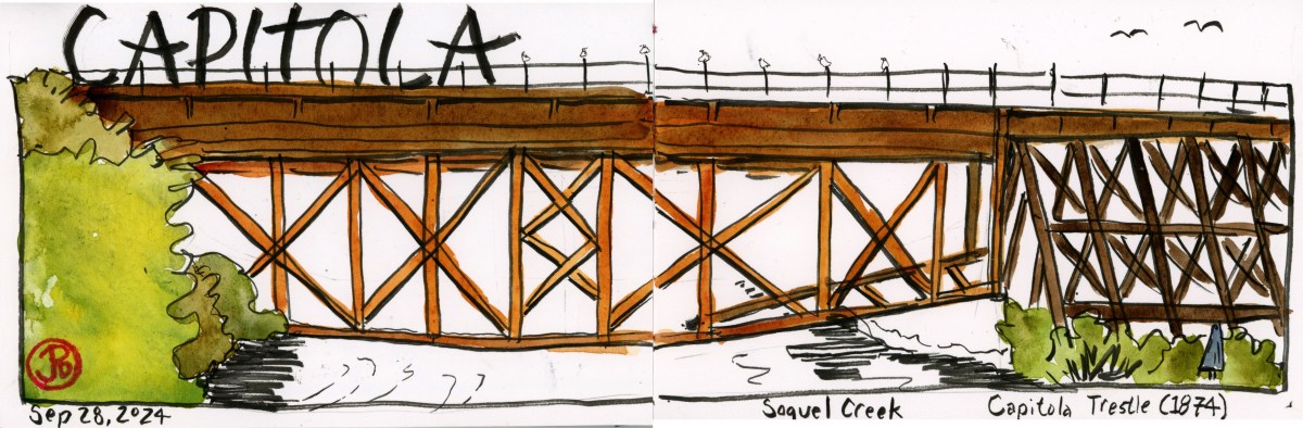
Early Saturday morning found me in Capitola Village.
Capitola was founded in 1874 as a beachside resort and in the age before the personal automobile it owed its early popularity to the railroad.
The Santa Cruz Railroad, opened in 1876 and brought sun worshippers to Camp Capitola.
Southern Pacific took over the railroad in 1882. The SP brought beach goers to the small seaside town, passengers detraining at the new depot near the east end of the trestle, this location is known as Depot Hill.
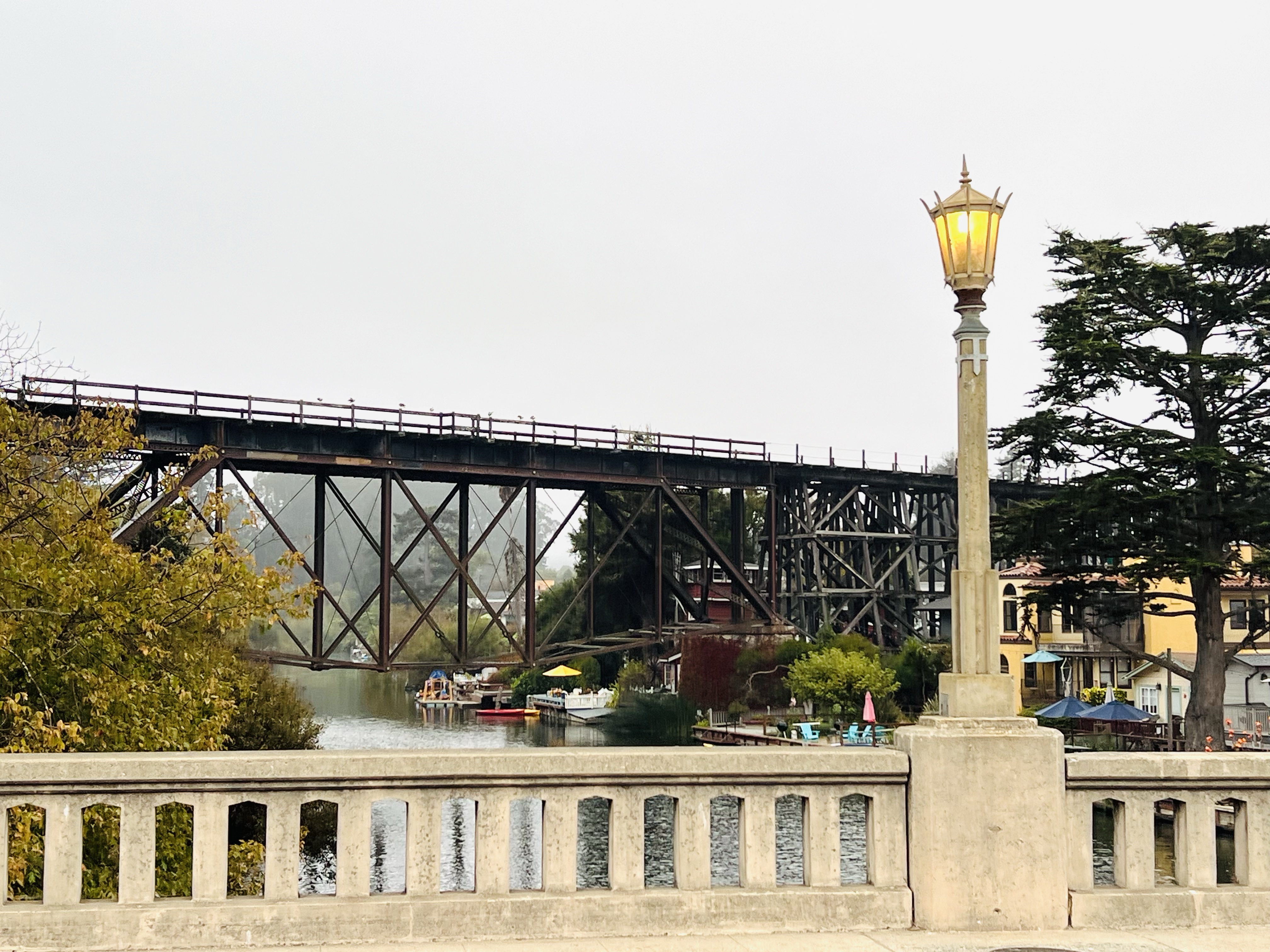
I chose my sketching position above Soquel Creek on the historic Stockton Avenue Bridge (1934) which parallels the trestle. The seaside air was wet with fog, I hoped it wouldn’t smear my ink drawing.
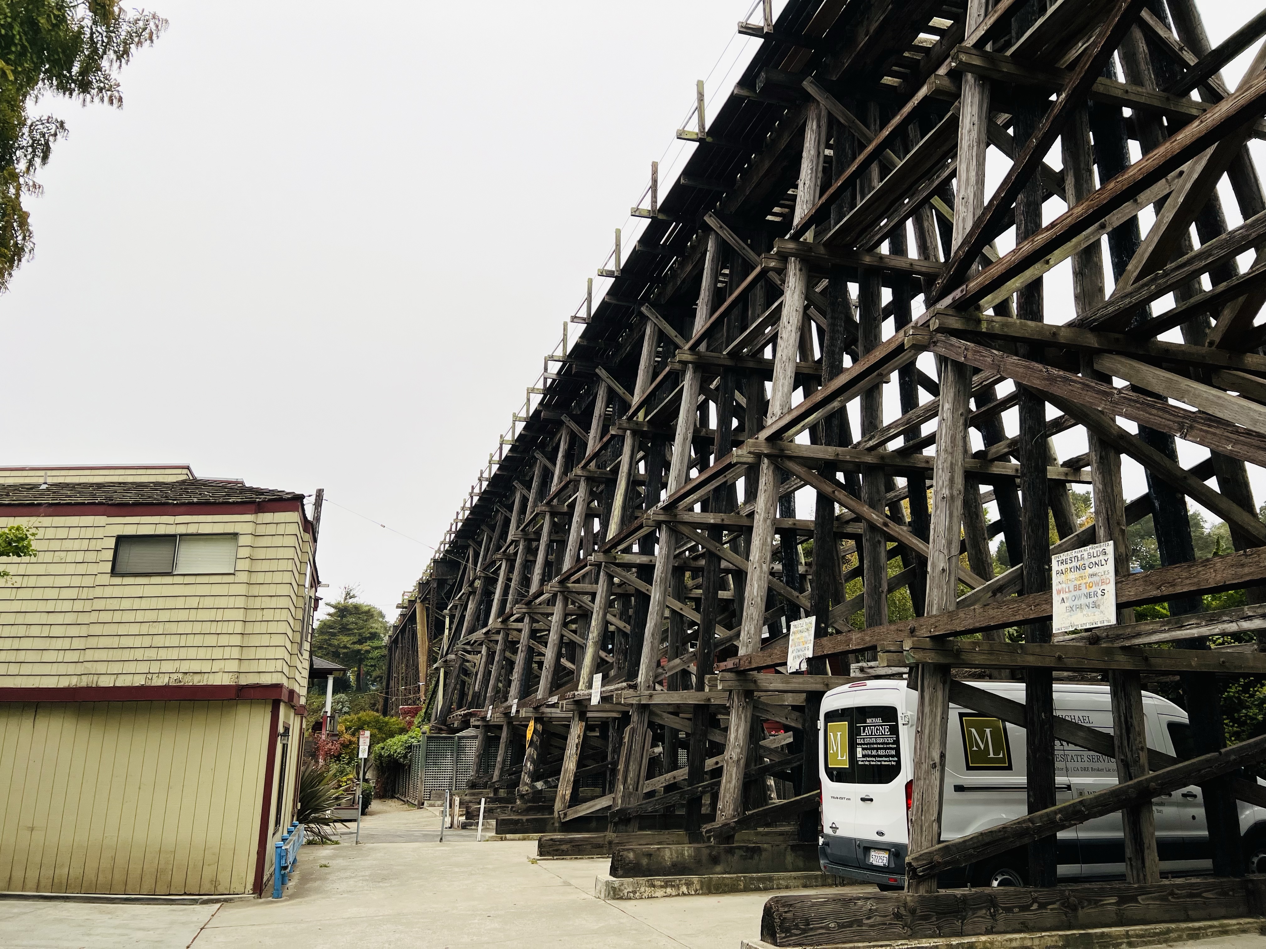
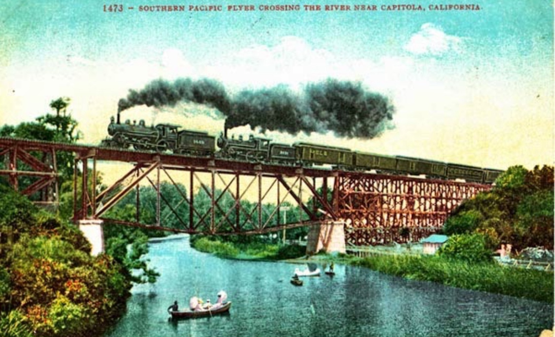
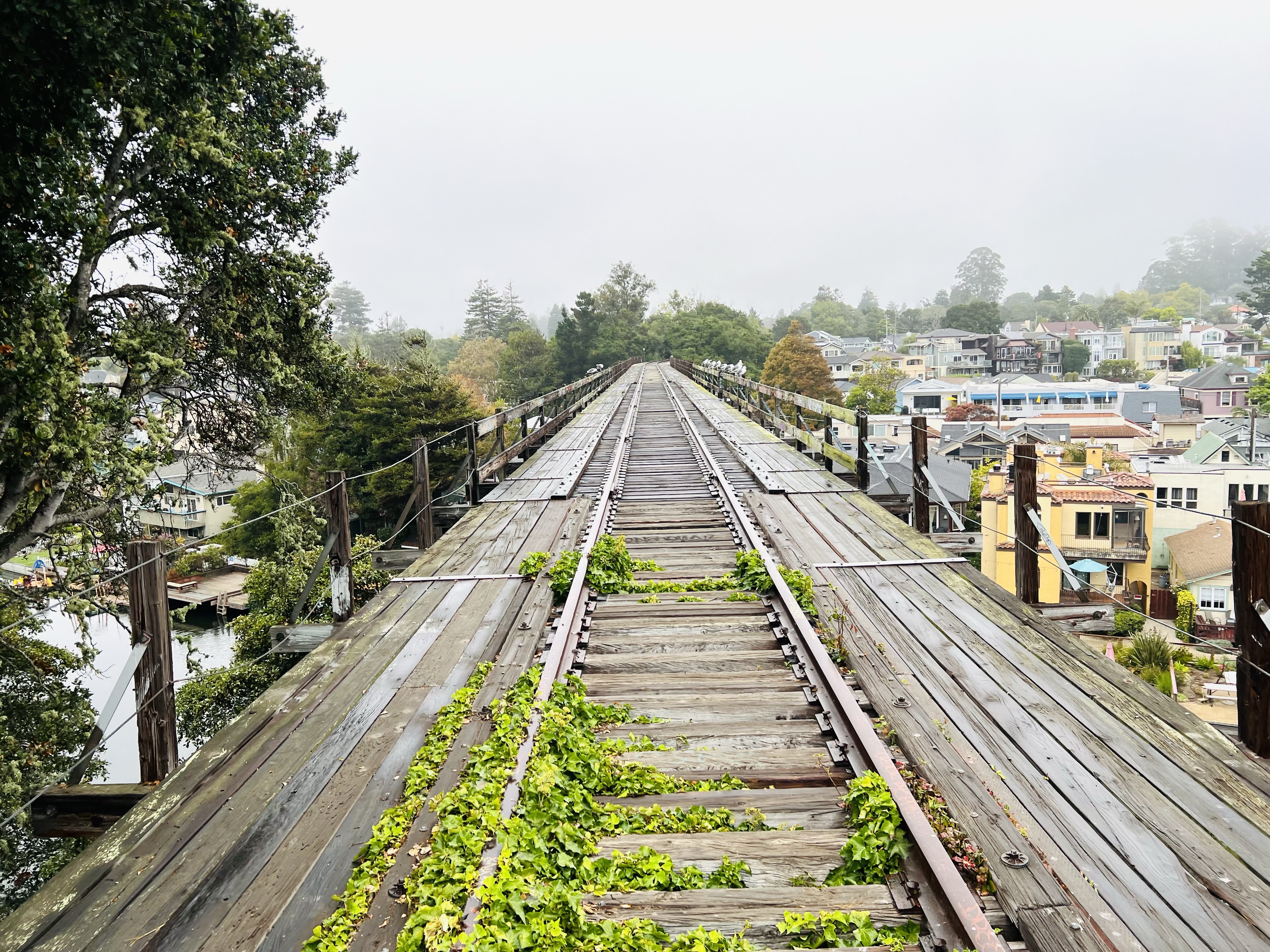
The wooden trestle over Capitola Avenue looking towards Soquel Creek. The Capitola Depot is about 100 yards behind me and up the hill. I have always loved the parking spots under the trestle (parking is a premium in Capitola Village).Colorized postcard (early 20th Century) of a double header passenger train with three baggage cars, crossing the trestle over Soquel Creek taking beach goers to Santa Cruz. This perspective is close to where I chose to sketch. Looking down the trestle in direction of the Capitola Depot and beyond, the connection to the mainline at Watsonville Junction (15.7 miles down the line). The green growth around the tracks shows this track has not been active in over ten years.
I was meeting a friend in the East Bay city of Martinez and I had a little time to sketch before lunch.
Martinez is a hotbed of railroading with both the Union Pacific and BNSF passing through as well as some marquee passenger trains such as the Coast Starlight and the California Zephyr making stops at the Martinez AMTRAK station. And the Capitol Corridor commuter takes on passengers traveling north and south on shorter journeys.
The California Zephyr Train No. 6, at the old Southern Pacific Depot in Martinez. This train is heading east to Chicago. To the right in the background is SP switcher 1258 on static display.
There would certainly be something to sketch here and I was going to start with a historic train trestle.
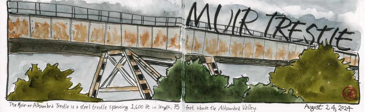
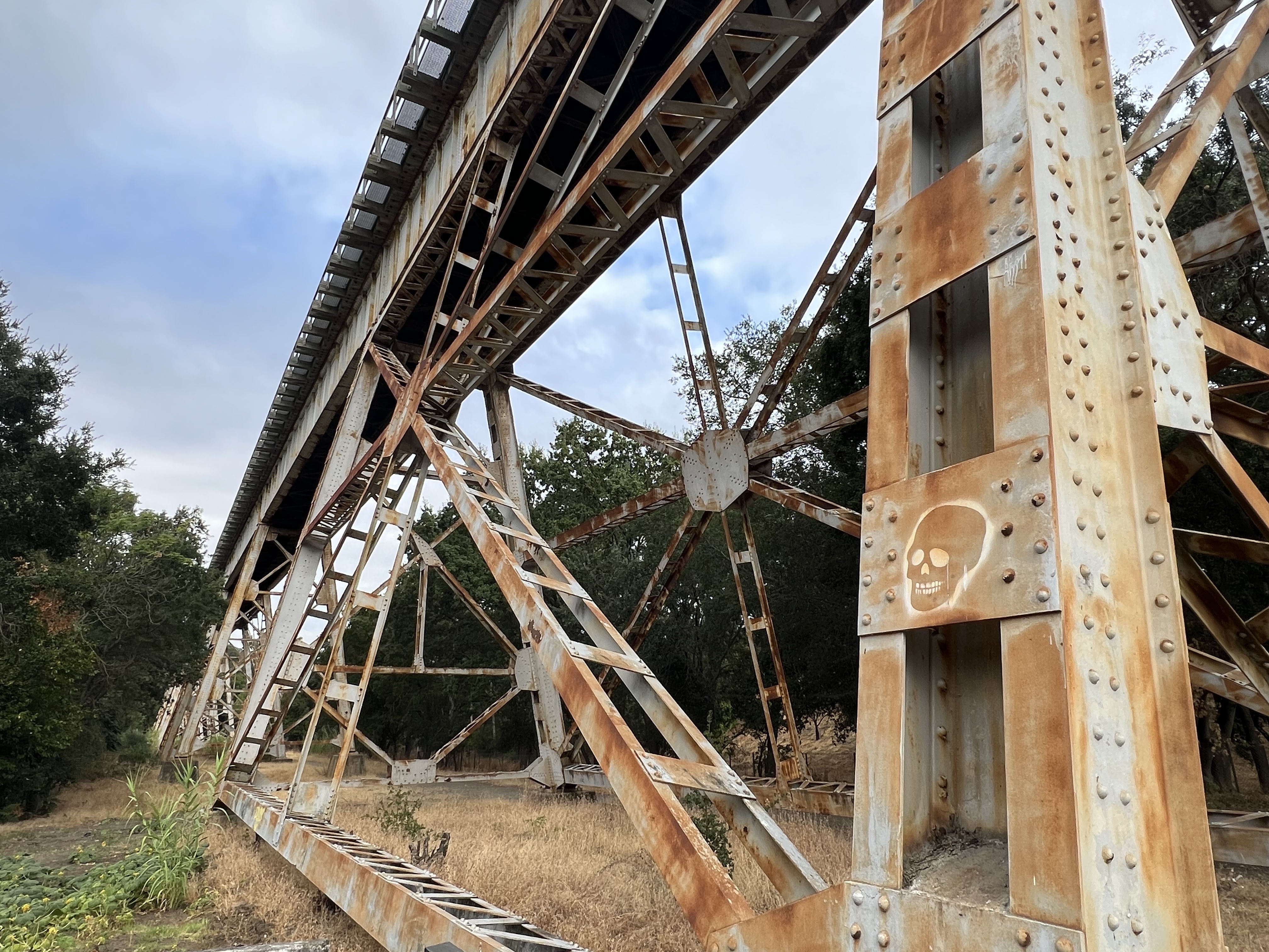
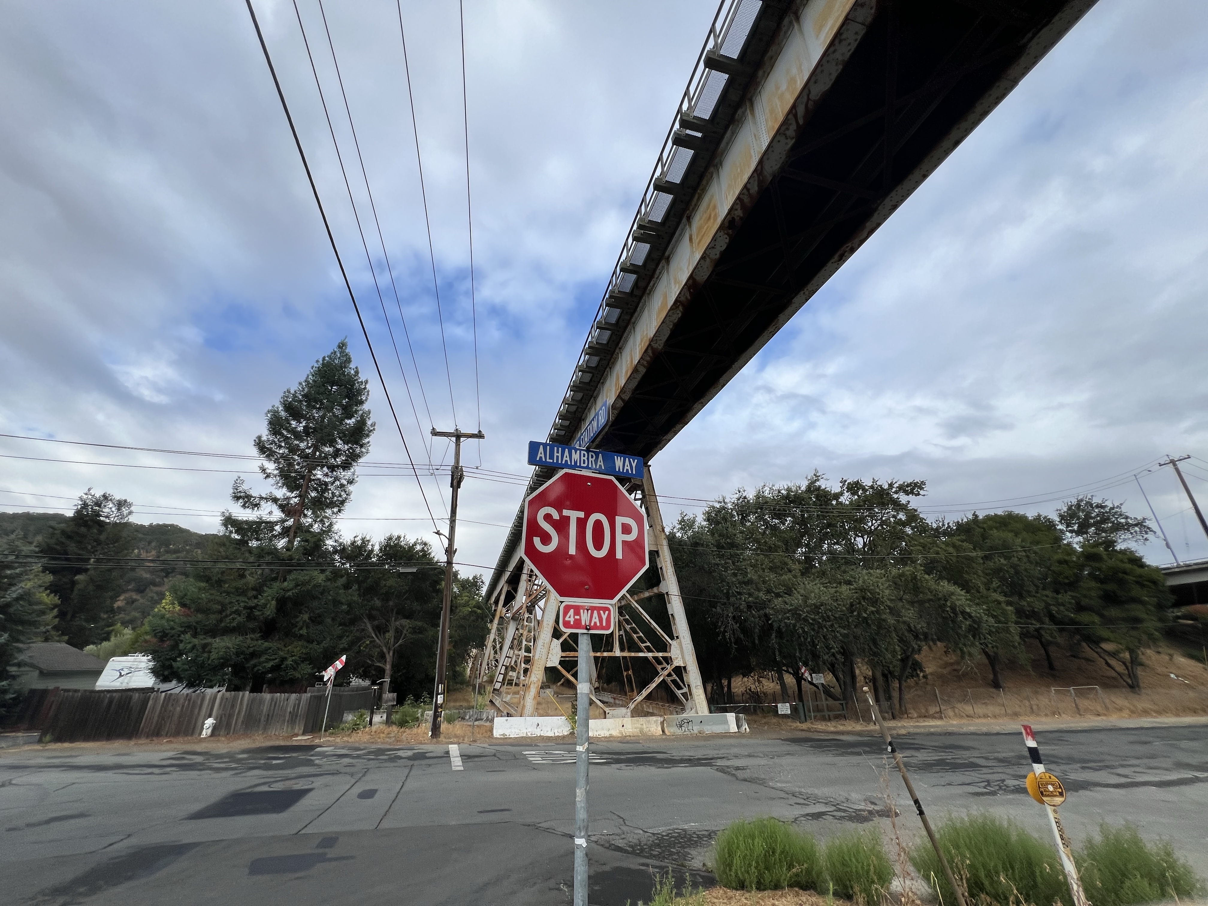
I parked at the Mount Walda Trailhead. Soaring above me was the 1,600 foot long steel Muir Trestle (aka the Alhambra Trestle). The single track trestle was so long that I could only see and sketch one section of it before it disappeared into the trees to the east. The trestle rises 75 feet above the roads, trees, and houses it crosses over.
A detailed view of the steel supports of the Muir Trestle.
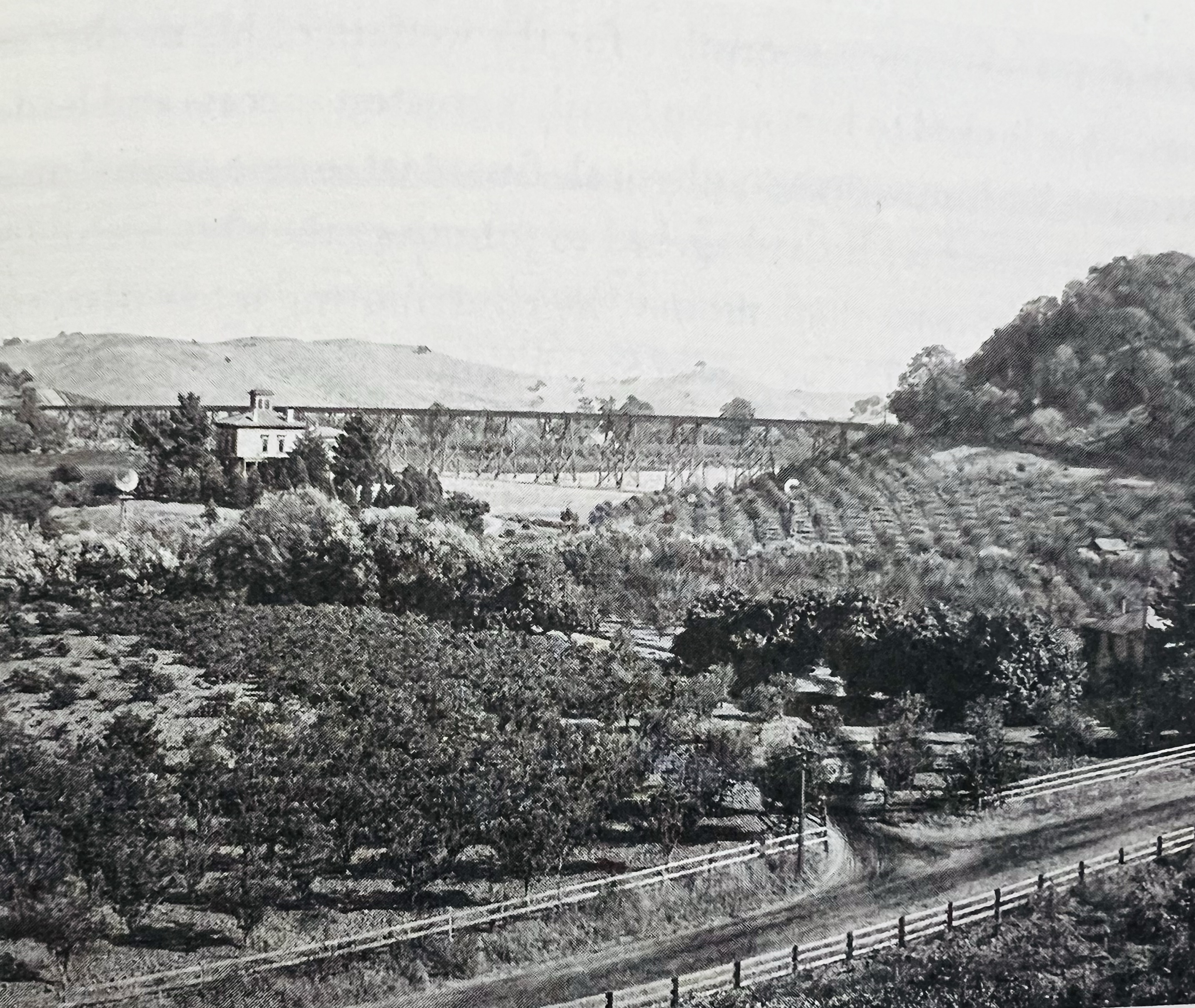
The trestle is within the John Muir National Historic Site. To the north is Muir’s Martinez home. Muir and his wife Wanda sold the land for the trestle for $10 and a lifetime rail pass to the San Francisco and San Joaquin Valley Railway. The original wooden trestle was built through a pear orchard and completed in 1897.
This is a historic photograph of the Stengel-Muir ranch in 1897. The Muir house is on the top left and the trestle is viable behind the house. At the time of the photograph, the trestle was constructed of wood.
At the eastern end of the trestle there was a passenger and freight station named Muir Station. The station is now long gone but is immortalized in a street that parallels the rails named Muir Station Road.
From this station Muir could ship his produce to Oakland or to the port in Martinez.
One of Muir’s neighbors in the Alhambra Valley was John Swett, Muir close friend. Swett was the State Superintendent of Public Education and is known as the “Father of California Public School”.
In 1898, Santa Fe purchased the line and it became their Valley Division. This division still exists as BNSF’s route from Richmond to Fresno.
The Muir Trestle from the intersection of Alhambra Way and Muir Station Road.
I took up a sketching position near the trailhead and started my drawing. The trestle above me is on the Stockton subdivision and is used by BNSF intermodal freight. There was no train crossing during my sketch.
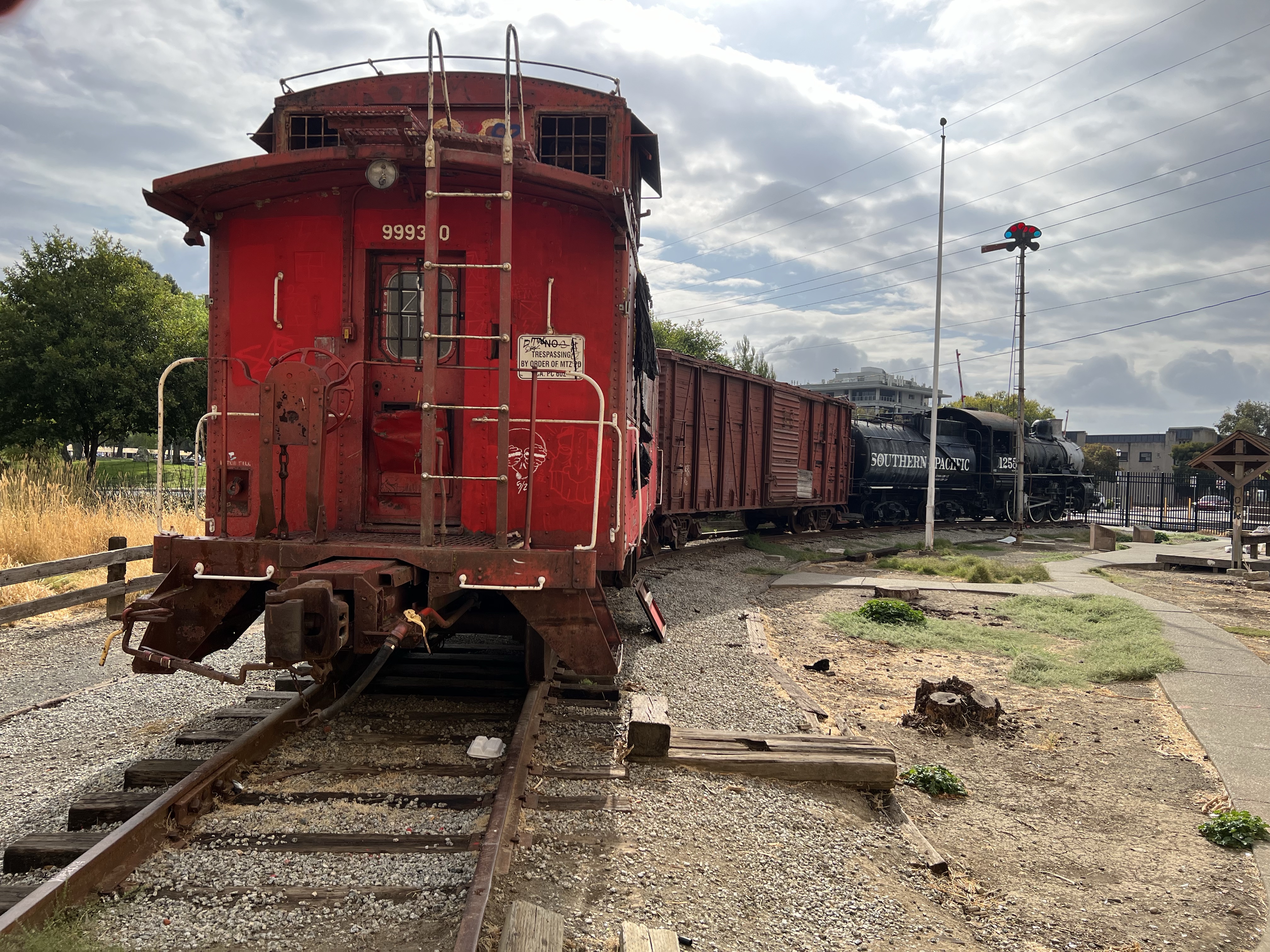
SP 0-6-0 switcher No. 1258 and its consist of a wooden box card and Santa Fe caboose 390 on display across the tracks from the AMTRAK station. The locomotive is in sad shape, missing some hardware like her bell and whistle.